Odessa is a census-designated place (CDP) in Odessa Township, Buffalo County, Nebraska, United States. It is part of the Kearney, Nebraska Micropolitan Statistical Area. The population of the CDP was 130 at the 2010 census.
It was named after Odessa, in Ukraine.
| Name: | Odessa CDP |
|---|---|
| LSAD Code: | 57 |
| LSAD Description: | CDP (suffix) |
| State: | Nebraska |
| County: | Buffalo County |
| Elevation: | 2,220 ft (680 m) |
| Total Area: | 1.82 sq mi (4.72 km²) |
| Land Area: | 1.82 sq mi (4.72 km²) |
| Water Area: | 0.00 sq mi (0.00 km²) |
| Total Population: | 132 |
| Population Density: | 72.37/sq mi (27.95/km²) |
| ZIP code: | 68861 |
| Area code: | 308 |
| FIPS code: | 3135770 |
| GNISfeature ID: | 0835396 |
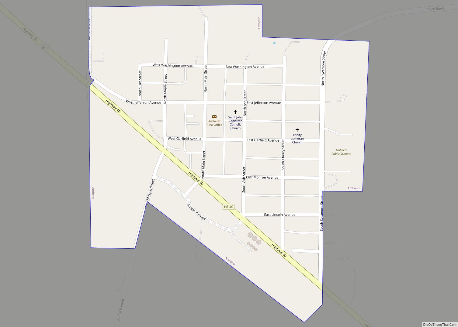
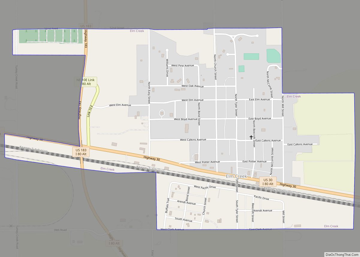
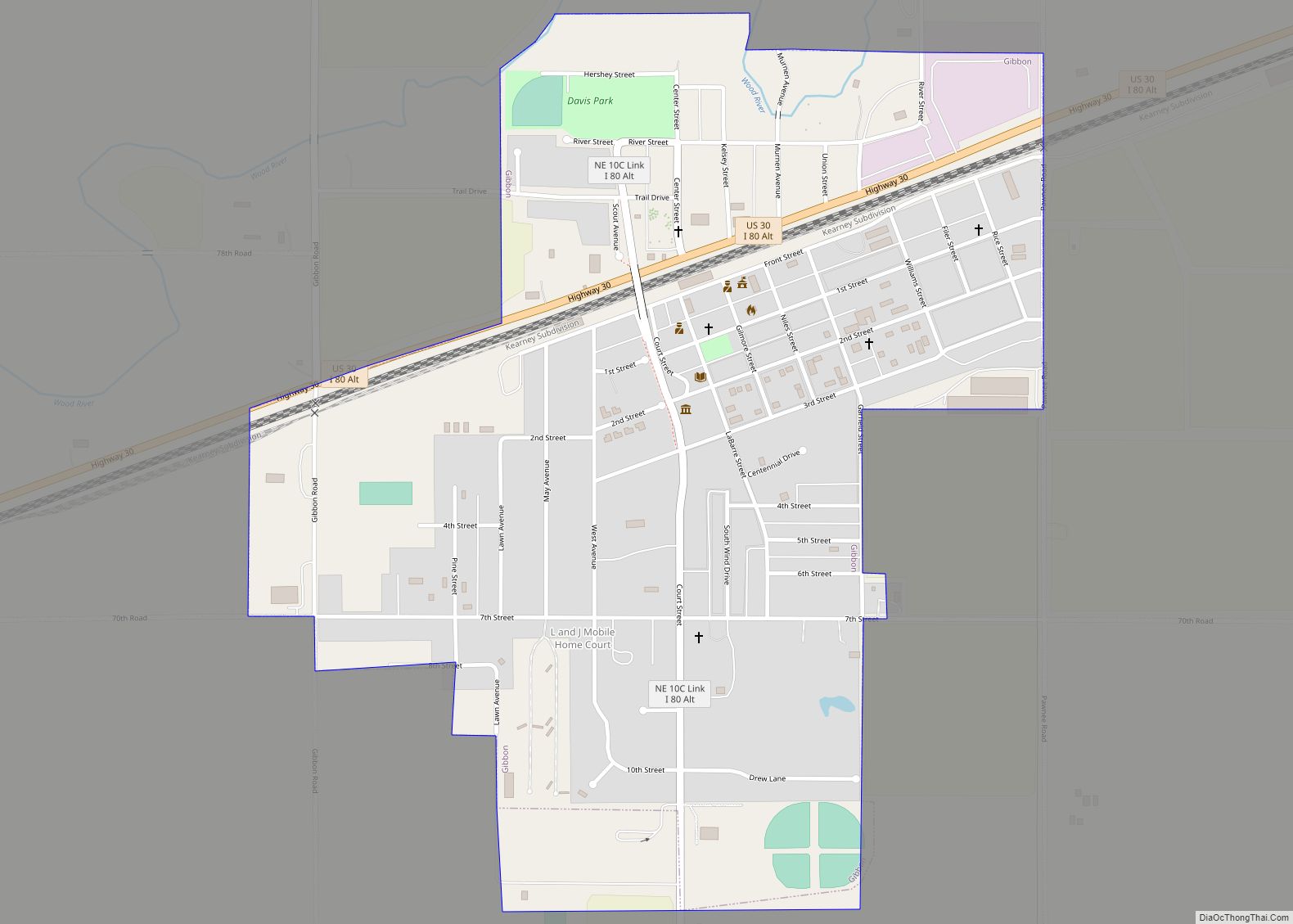
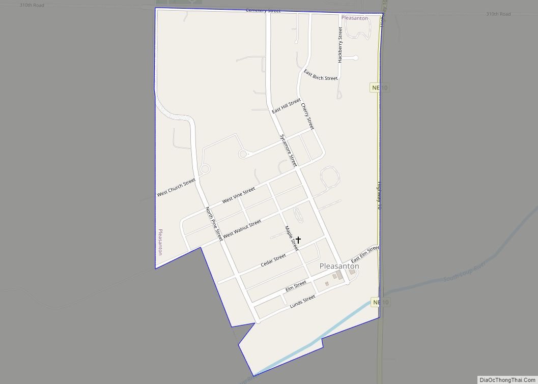
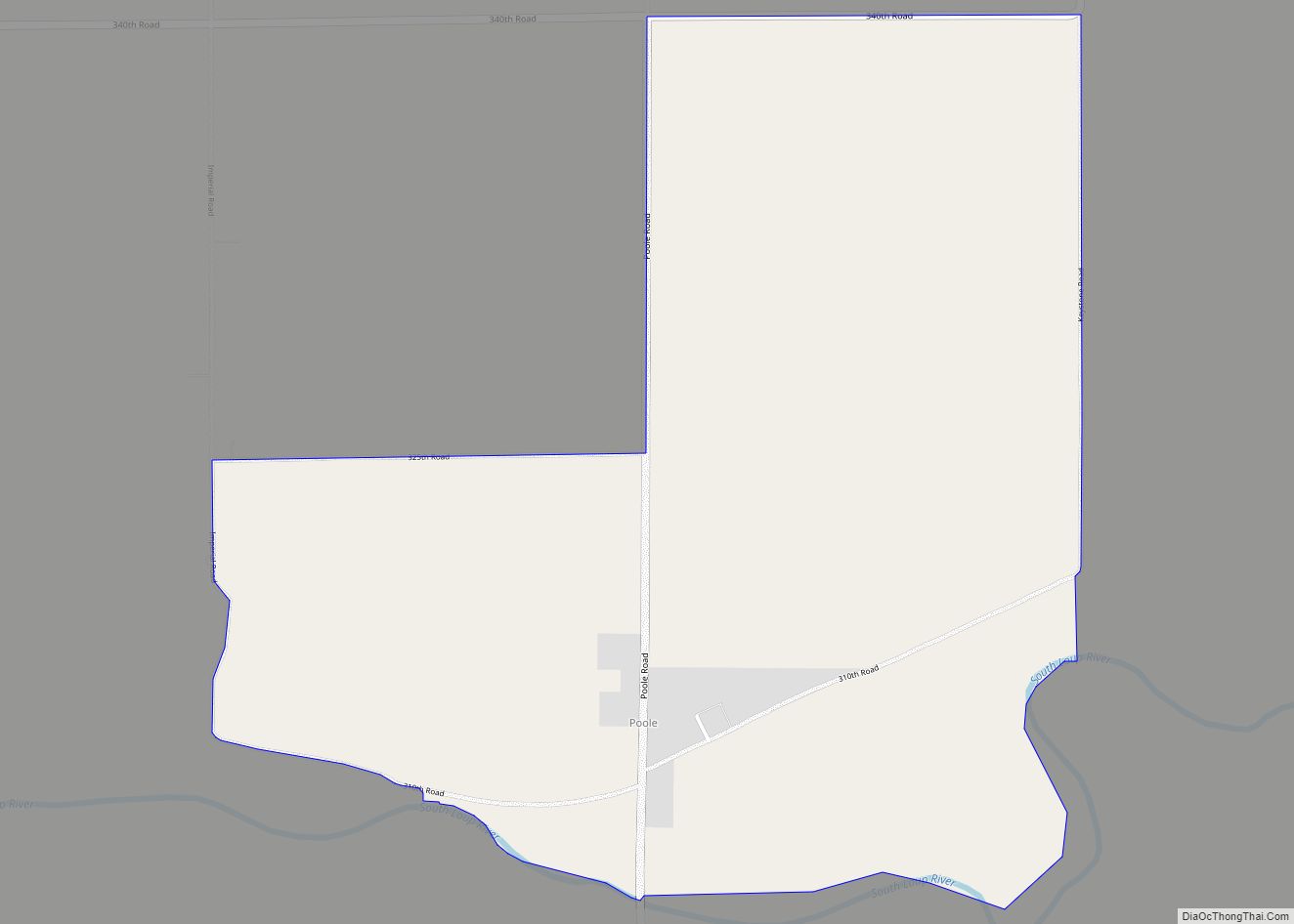
Online Interactive Map
Click on ![]() to view map in "full screen" mode.
to view map in "full screen" mode.
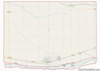
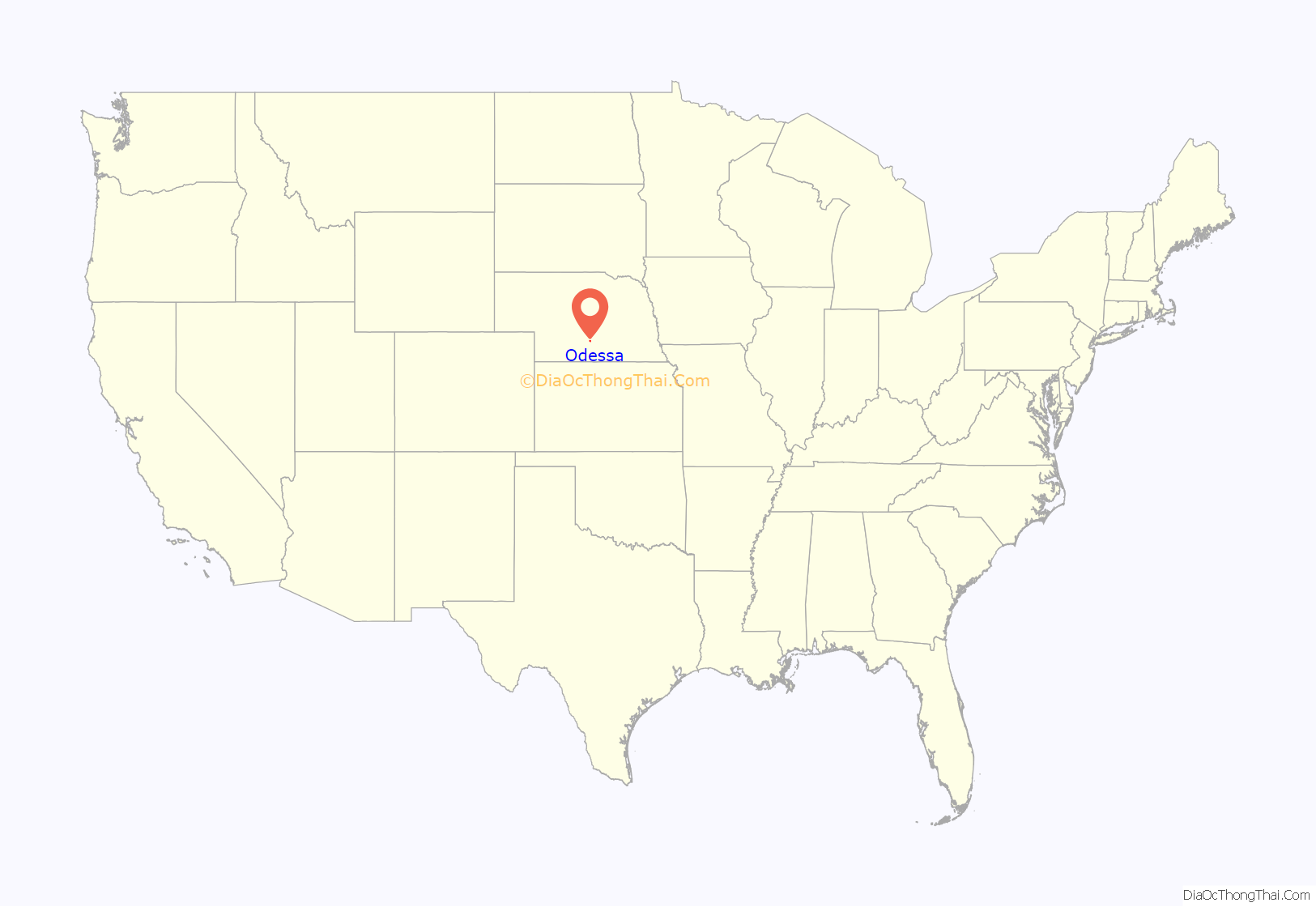
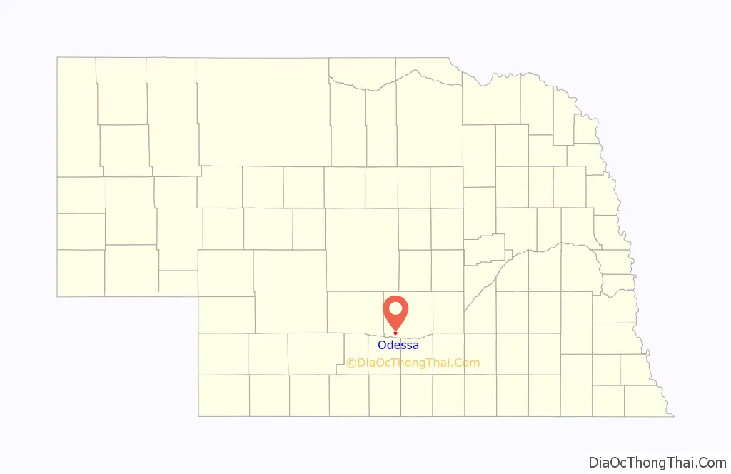
Odessa location map. Where is Odessa CDP?
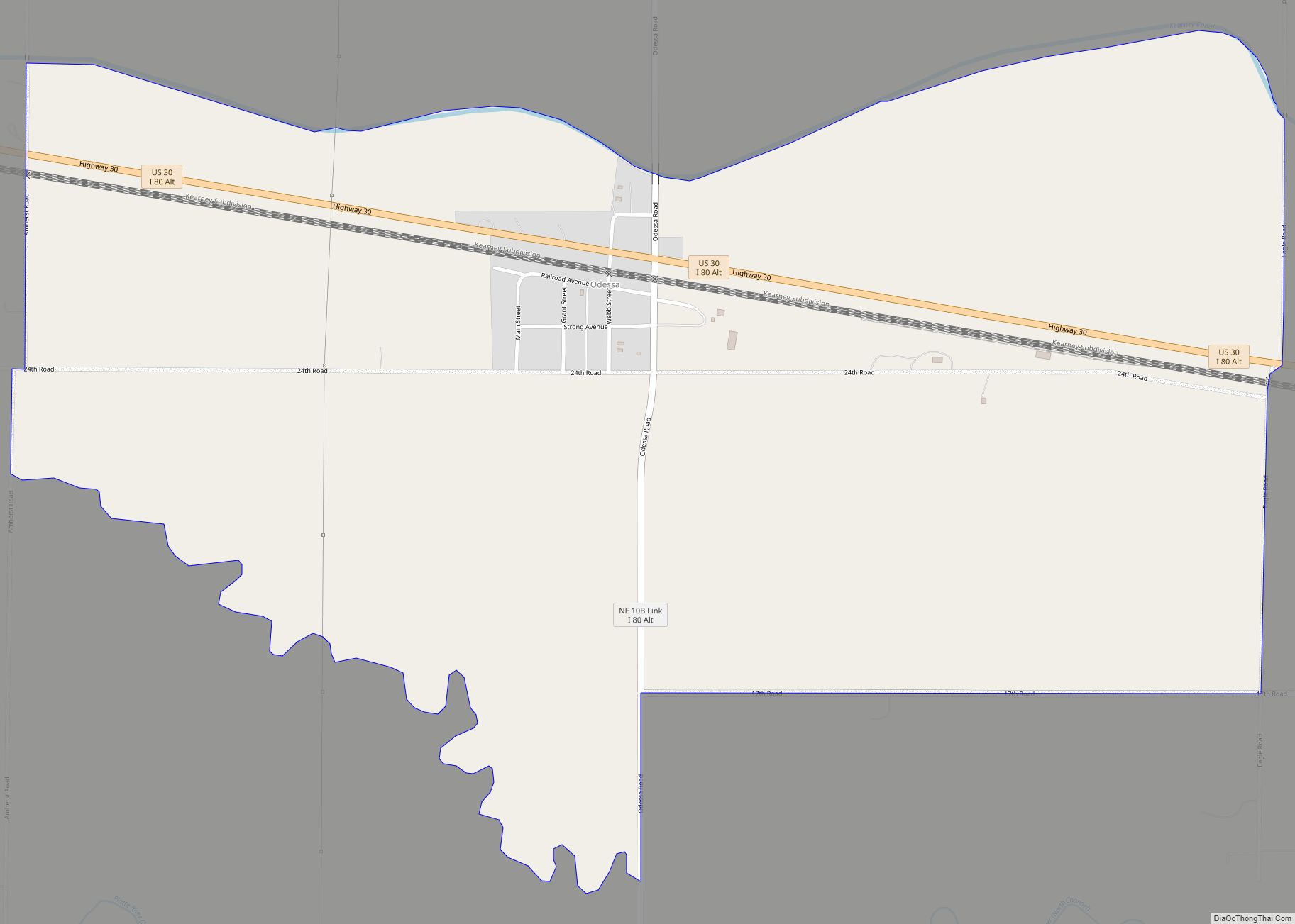
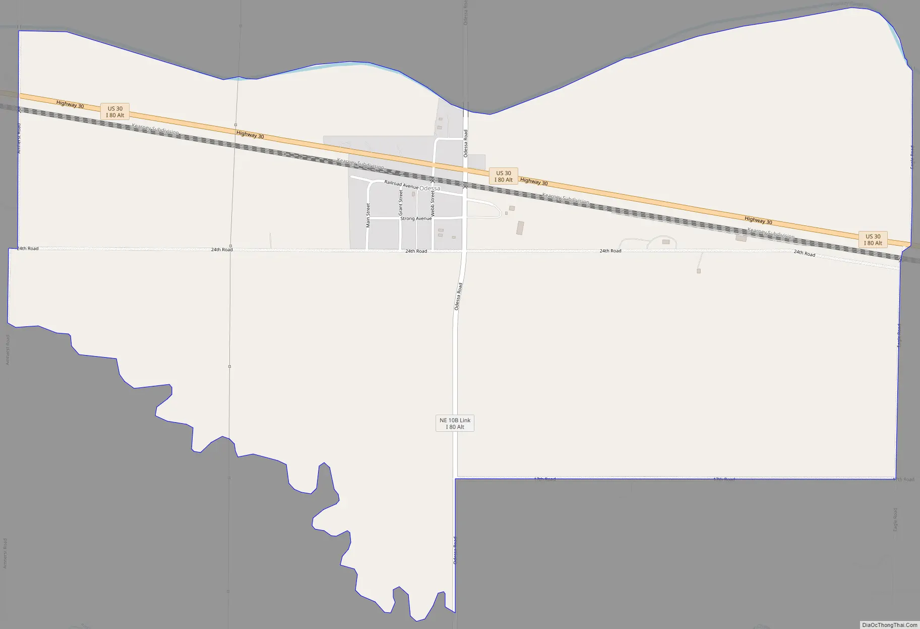
Odessa Road Map
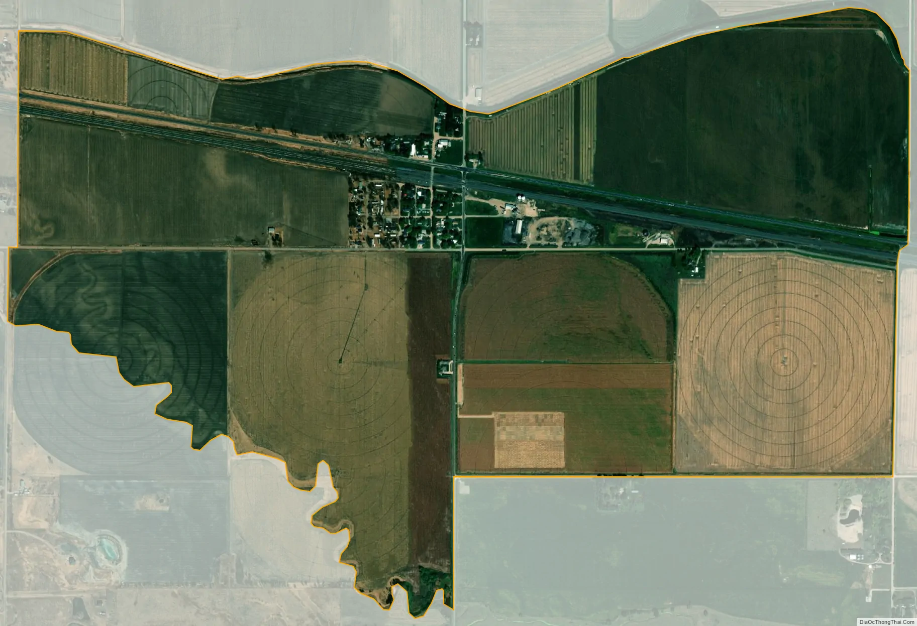
Odessa city Satellite Map
Geography
Odessa is located in southwestern Buffalo County along U.S. Route 30, 9 miles (14 km) west of Kearney, the county seat. It is 6 miles (10 km) west to Elm Creek via US 30. Interstate 80 passes to the south of Odessa, with access via Exit 263 (Highway 10B/Odessa Road).
According to the United States Census Bureau, the Odessa CDP has a total area of 1.8 square miles (4.7 km), all land.
See also
Map of Nebraska State and its subdivision:- Adams
- Antelope
- Arthur
- Banner
- Blaine
- Boone
- Box Butte
- Boyd
- Brown
- Buffalo
- Burt
- Butler
- Cass
- Cedar
- Chase
- Cherry
- Cheyenne
- Clay
- Colfax
- Cuming
- Custer
- Dakota
- Dawes
- Dawson
- Deuel
- Dixon
- Dodge
- Douglas
- Dundy
- Fillmore
- Franklin
- Frontier
- Furnas
- Gage
- Garden
- Garfield
- Gosper
- Grant
- Greeley
- Hall
- Hamilton
- Harlan
- Hayes
- Hitchcock
- Holt
- Hooker
- Howard
- Jefferson
- Johnson
- Kearney
- Keith
- Keya Paha
- Kimball
- Knox
- Lancaster
- Lincoln
- Logan
- Loup
- Madison
- McPherson
- Merrick
- Morrill
- Nance
- Nemaha
- Nuckolls
- Otoe
- Pawnee
- Perkins
- Phelps
- Pierce
- Platte
- Polk
- Red Willow
- Richardson
- Rock
- Saline
- Sarpy
- Saunders
- Scotts Bluff
- Seward
- Sheridan
- Sherman
- Sioux
- Stanton
- Thayer
- Thomas
- Thurston
- Valley
- Washington
- Wayne
- Webster
- Wheeler
- York
- Alabama
- Alaska
- Arizona
- Arkansas
- California
- Colorado
- Connecticut
- Delaware
- District of Columbia
- Florida
- Georgia
- Hawaii
- Idaho
- Illinois
- Indiana
- Iowa
- Kansas
- Kentucky
- Louisiana
- Maine
- Maryland
- Massachusetts
- Michigan
- Minnesota
- Mississippi
- Missouri
- Montana
- Nebraska
- Nevada
- New Hampshire
- New Jersey
- New Mexico
- New York
- North Carolina
- North Dakota
- Ohio
- Oklahoma
- Oregon
- Pennsylvania
- Rhode Island
- South Carolina
- South Dakota
- Tennessee
- Texas
- Utah
- Vermont
- Virginia
- Washington
- West Virginia
- Wisconsin
- Wyoming