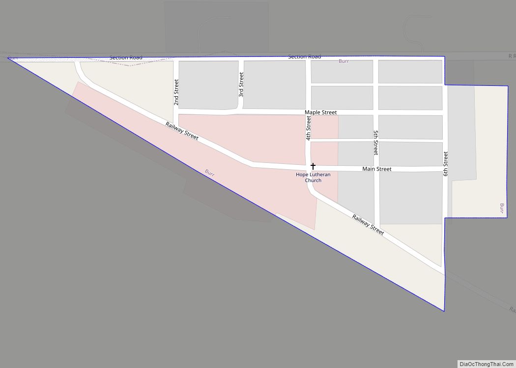
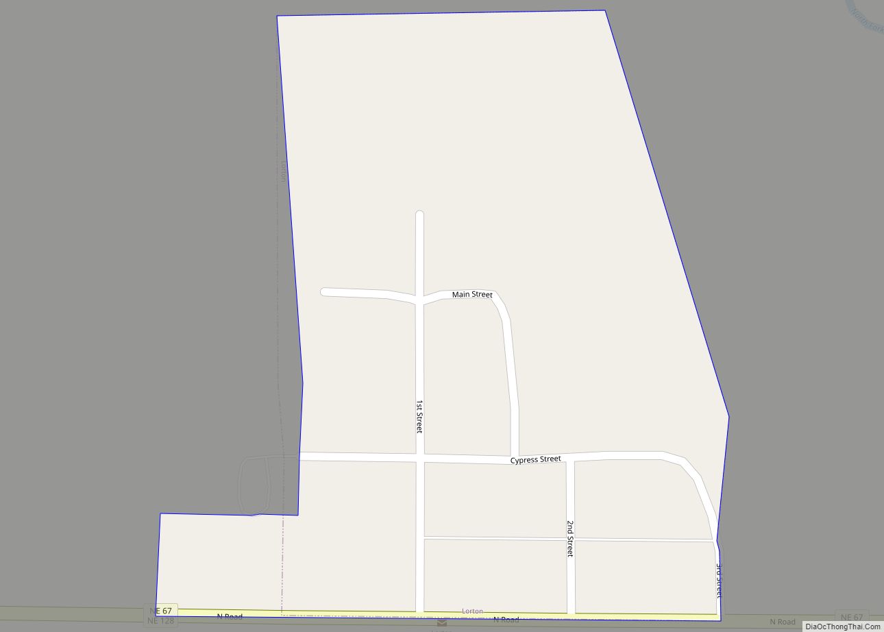
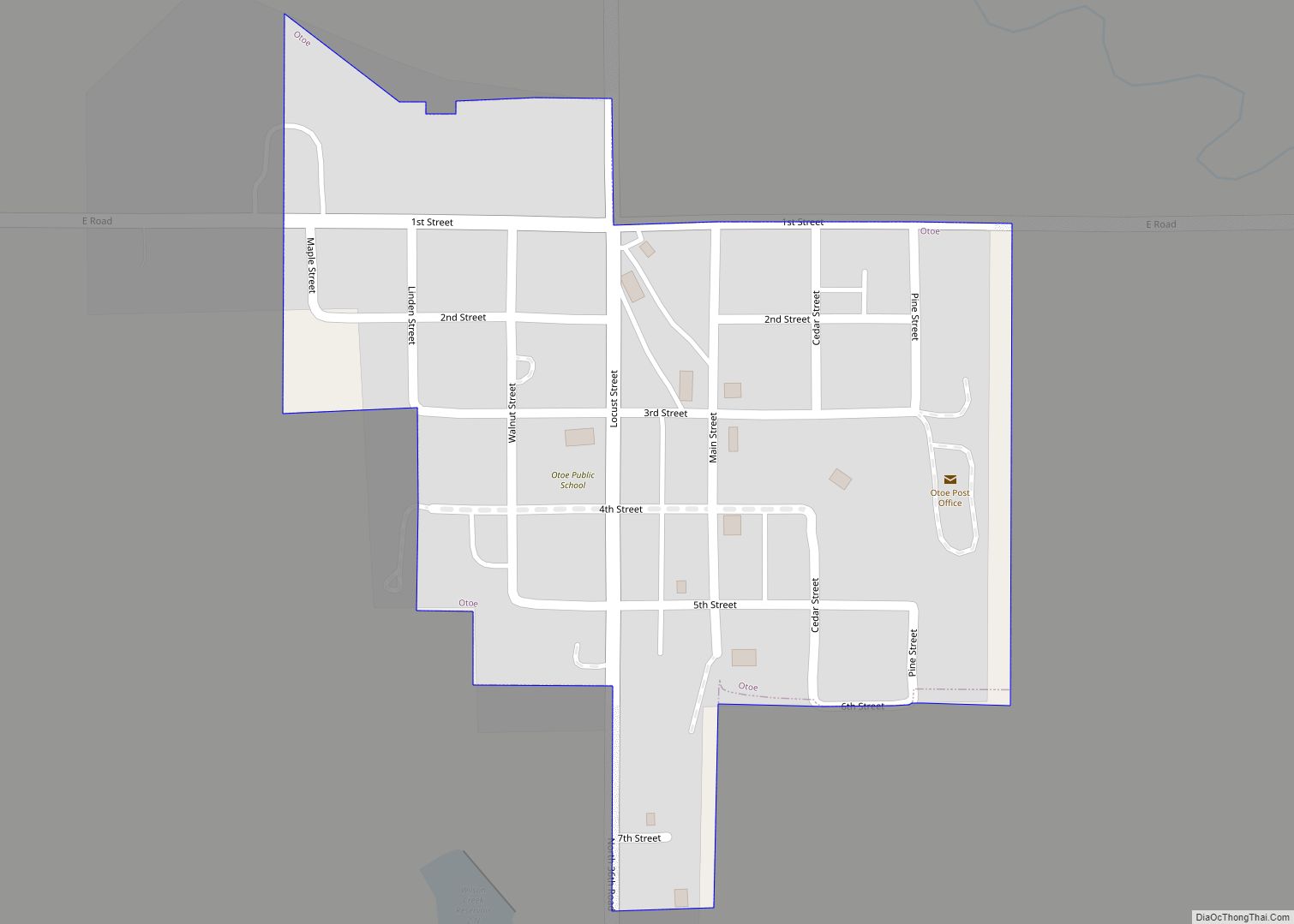
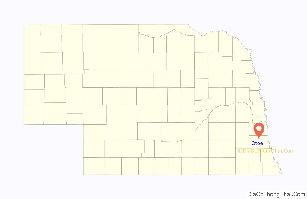
Otoe is a village in north central Otoe County, Nebraska, United States. The population was 161 at the 2020 census.
| Name: | Otoe village |
|---|---|
| LSAD Code: | 47 |
| LSAD Description: | village (suffix) |
| State: | Nebraska |
| County: | Otoe County |
| Elevation: | 1,132 ft (345 m) |
| Total Area: | 0.16 sq mi (0.41 km²) |
| Land Area: | 0.16 sq mi (0.41 km²) |
| Water Area: | 0.00 sq mi (0.00 km²) |
| Total Population: | 161 |
| Population Density: | 1,012.58/sq mi (390.18/km²) |
| ZIP code: | 68417 |
| Area code: | 402 |
| FIPS code: | 3137630 |
| GNISfeature ID: | 2399595 |
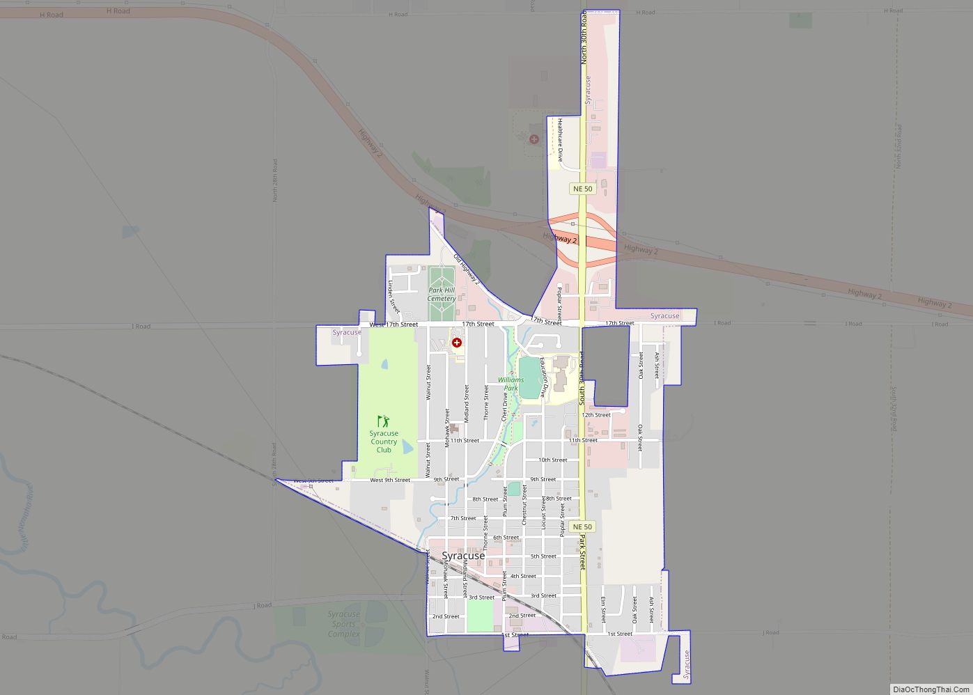
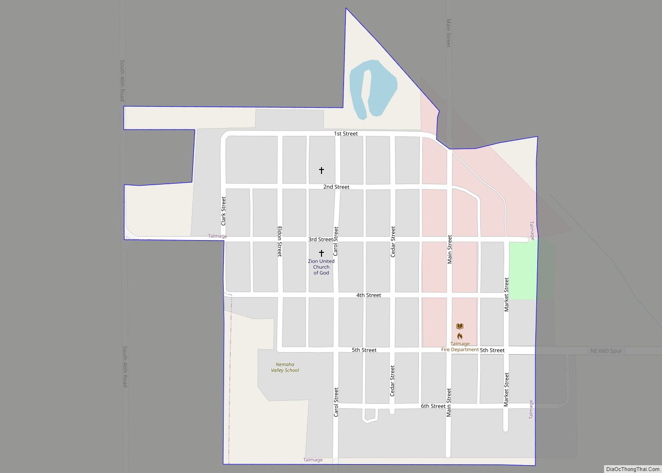
Online Interactive Map
Click on ![]() to view map in "full screen" mode.
to view map in "full screen" mode.
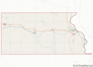
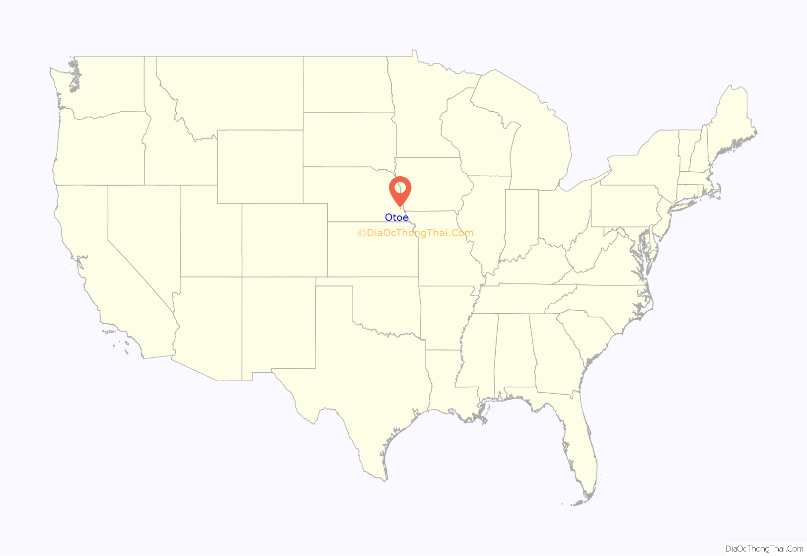
Otoe location map. Where is Otoe village?
History
The village was established in 1880 on the proposed line of the Missouri Pacific Railroad from Kansas City to Omaha. The town was originally named Berlin; many of the early inhabitants were German Lutherans. In 1896, when the population reached 200, the town incorporated. It survived and rebuilt after a tornado in 1913 destroyed most of its businesses.
The entry of the United States into World War I was followed by anti-German sentiment, which extended to a town that bore the name of Germany’s capital. A 1918 series of fires that destroyed a block of the town’s main street was attributed to anti-German crusaders. In October 1918, less than a month before the war’s end, the town’s name was changed to its current Otoe. Berlin Precinct was left unchanged, however.
Passenger rail service to Otoe was discontinued in 1932; despite this setback, the town continued to grow, reaching its maximum historical population of 298 in the 1940 census. Following World War II, the population began to decline. In 1958, the high school was closed; in the 1960s, the railroad line through Otoe was abandoned.
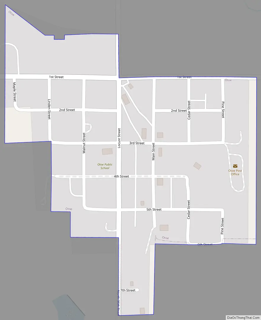
Otoe Road Map
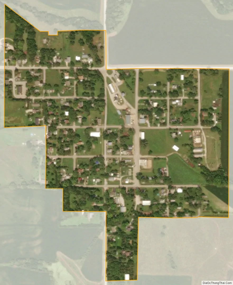
Otoe city Satellite Map
Geography
According to the United States Census Bureau, the village has a total area of 0.16 square miles (0.41 km), all land.
See also
Map of Nebraska State and its subdivision:- Adams
- Antelope
- Arthur
- Banner
- Blaine
- Boone
- Box Butte
- Boyd
- Brown
- Buffalo
- Burt
- Butler
- Cass
- Cedar
- Chase
- Cherry
- Cheyenne
- Clay
- Colfax
- Cuming
- Custer
- Dakota
- Dawes
- Dawson
- Deuel
- Dixon
- Dodge
- Douglas
- Dundy
- Fillmore
- Franklin
- Frontier
- Furnas
- Gage
- Garden
- Garfield
- Gosper
- Grant
- Greeley
- Hall
- Hamilton
- Harlan
- Hayes
- Hitchcock
- Holt
- Hooker
- Howard
- Jefferson
- Johnson
- Kearney
- Keith
- Keya Paha
- Kimball
- Knox
- Lancaster
- Lincoln
- Logan
- Loup
- Madison
- McPherson
- Merrick
- Morrill
- Nance
- Nemaha
- Nuckolls
- Otoe
- Pawnee
- Perkins
- Phelps
- Pierce
- Platte
- Polk
- Red Willow
- Richardson
- Rock
- Saline
- Sarpy
- Saunders
- Scotts Bluff
- Seward
- Sheridan
- Sherman
- Sioux
- Stanton
- Thayer
- Thomas
- Thurston
- Valley
- Washington
- Wayne
- Webster
- Wheeler
- York
- Alabama
- Alaska
- Arizona
- Arkansas
- California
- Colorado
- Connecticut
- Delaware
- District of Columbia
- Florida
- Georgia
- Hawaii
- Idaho
- Illinois
- Indiana
- Iowa
- Kansas
- Kentucky
- Louisiana
- Maine
- Maryland
- Massachusetts
- Michigan
- Minnesota
- Mississippi
- Missouri
- Montana
- Nebraska
- Nevada
- New Hampshire
- New Jersey
- New Mexico
- New York
- North Carolina
- North Dakota
- Ohio
- Oklahoma
- Oregon
- Pennsylvania
- Rhode Island
- South Carolina
- South Dakota
- Tennessee
- Texas
- Utah
- Vermont
- Virginia
- Washington
- West Virginia
- Wisconsin
- Wyoming