Peru is a city in Nemaha County, Nebraska, United States. The population was 648 at the 2020 census. Peru State College is located in Peru.
| Name: | Peru city |
|---|---|
| LSAD Code: | 25 |
| LSAD Description: | city (suffix) |
| State: | Nebraska |
| County: | Nemaha County |
| Elevation: | 1,027 ft (313 m) |
| Total Area: | 0.53 sq mi (1.36 km²) |
| Land Area: | 0.53 sq mi (1.36 km²) |
| Water Area: | 0.00 sq mi (0.00 km²) |
| Total Population: | 648 |
| Population Density: | 1,231.94/sq mi (475.78/km²) |
| ZIP code: | 68421 |
| Area code: | 402 |
| FIPS code: | 3138960 |
| GNISfeature ID: | 2396191 |
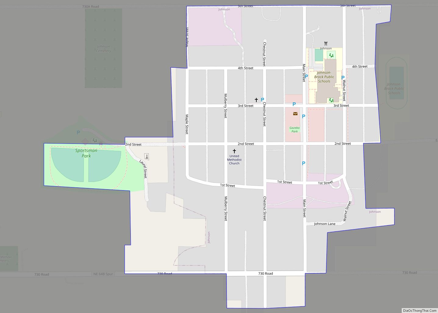
Online Interactive Map
Click on ![]() to view map in "full screen" mode.
to view map in "full screen" mode.
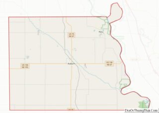
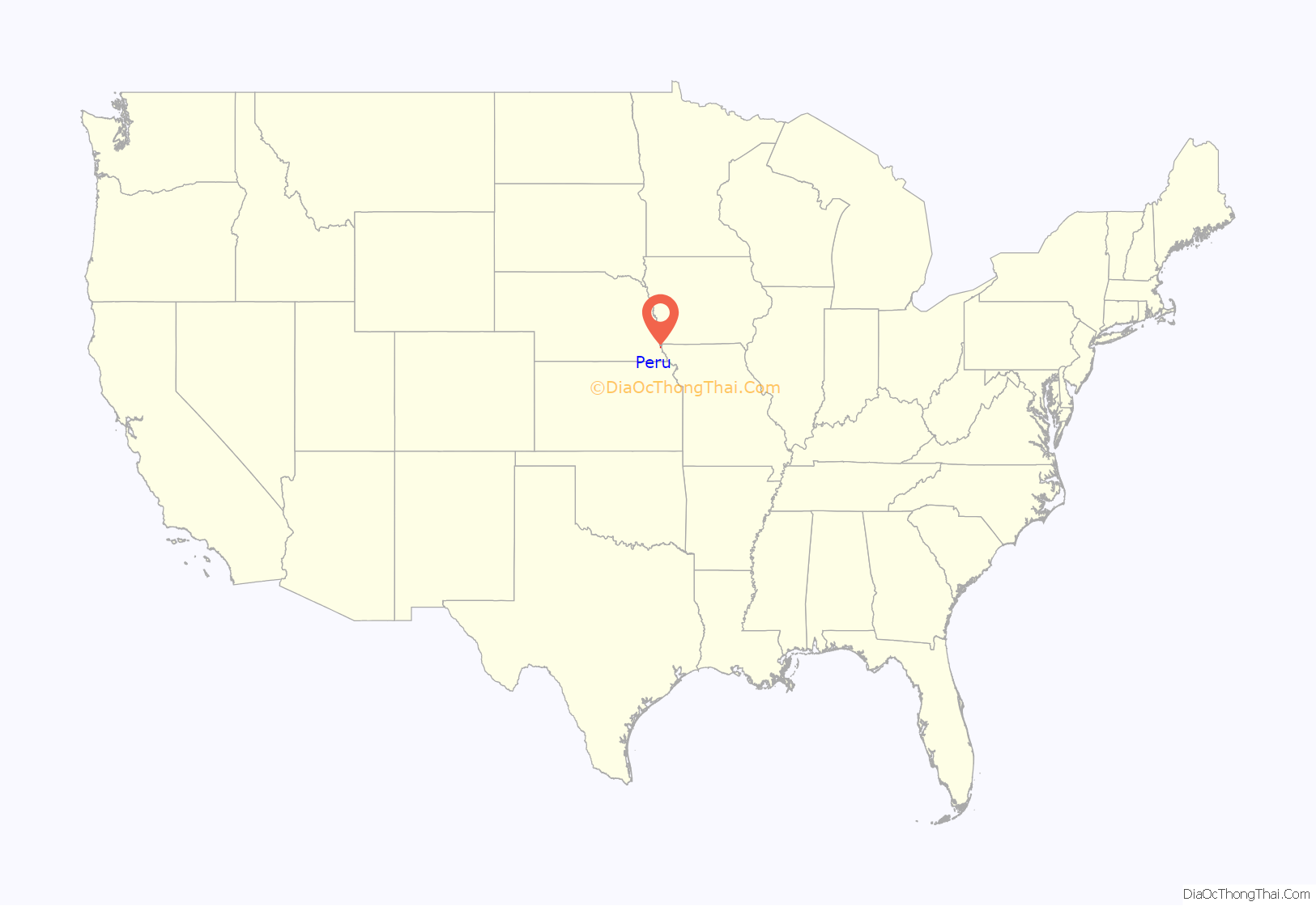
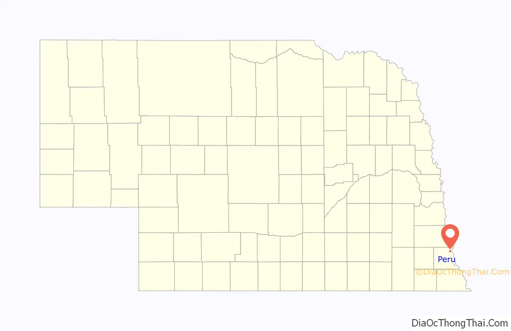
Peru location map. Where is Peru city?
History
The first attempt to settle the community took place in 1853, by some residents of Peru, Illinois. However, troops from Fort Kearny forced them to leave because Nebraska Territory belonged to the Otoe tribe. The settlers then temporarily settled across the Missouri River at Sonora. In 1857, a community formed around a trading post called Mount Vernon on the bluffs above the river on the Nebraska side.
In 1857, settlers founded Peru down the hill from Mount Vernon directly on the Missouri River. In 1861, a Methodist school called Mount Vernon Academy opened. In 1867, the school (which became Peru State College) became the state’s first normal school.
Floods in the 1860s changed the course of the river, pushing it nearly a mile from Peru. An 1867 flood caused the Nebraska community of McKissick Island, northeast of Peru, to be surrounded by Missouri land and precipitated a border dispute that would not be resolved until 1999.
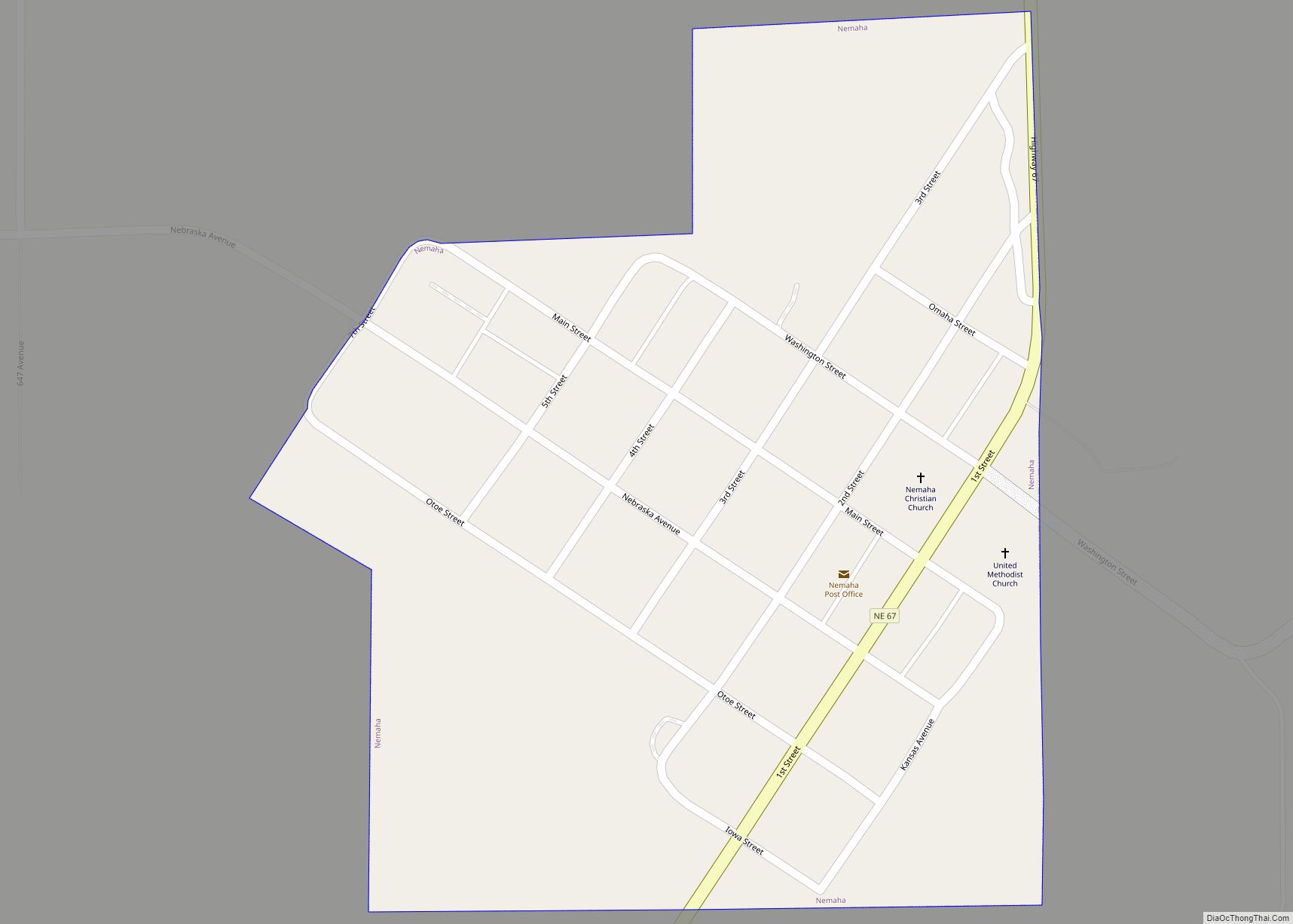
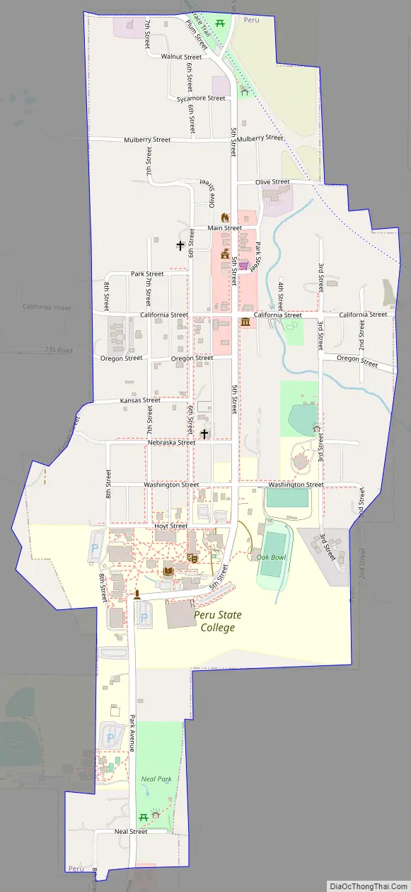
Peru Road Map
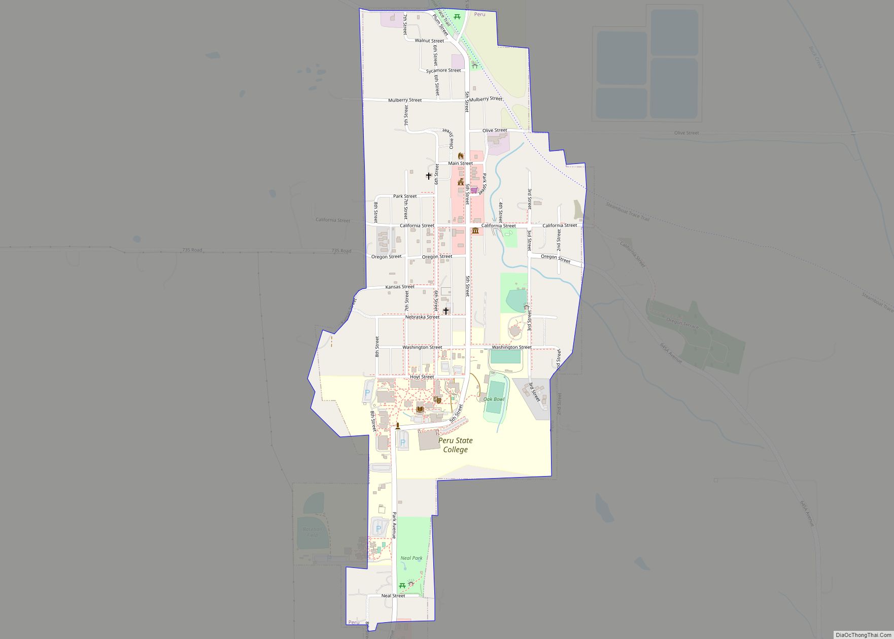
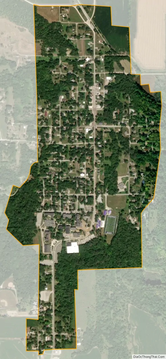
Peru city Satellite Map
Geography
Peru is located at 40°28′48″N 95°43′53″W / 40.480055°N 95.731286°W / 40.480055; -95.731286 (40.480055, -95.731286). According to the United States Census Bureau, the city has a total area of 0.53 square miles (1.37 km), all land.
See also
Map of Nebraska State and its subdivision:- Adams
- Antelope
- Arthur
- Banner
- Blaine
- Boone
- Box Butte
- Boyd
- Brown
- Buffalo
- Burt
- Butler
- Cass
- Cedar
- Chase
- Cherry
- Cheyenne
- Clay
- Colfax
- Cuming
- Custer
- Dakota
- Dawes
- Dawson
- Deuel
- Dixon
- Dodge
- Douglas
- Dundy
- Fillmore
- Franklin
- Frontier
- Furnas
- Gage
- Garden
- Garfield
- Gosper
- Grant
- Greeley
- Hall
- Hamilton
- Harlan
- Hayes
- Hitchcock
- Holt
- Hooker
- Howard
- Jefferson
- Johnson
- Kearney
- Keith
- Keya Paha
- Kimball
- Knox
- Lancaster
- Lincoln
- Logan
- Loup
- Madison
- McPherson
- Merrick
- Morrill
- Nance
- Nemaha
- Nuckolls
- Otoe
- Pawnee
- Perkins
- Phelps
- Pierce
- Platte
- Polk
- Red Willow
- Richardson
- Rock
- Saline
- Sarpy
- Saunders
- Scotts Bluff
- Seward
- Sheridan
- Sherman
- Sioux
- Stanton
- Thayer
- Thomas
- Thurston
- Valley
- Washington
- Wayne
- Webster
- Wheeler
- York
- Alabama
- Alaska
- Arizona
- Arkansas
- California
- Colorado
- Connecticut
- Delaware
- District of Columbia
- Florida
- Georgia
- Hawaii
- Idaho
- Illinois
- Indiana
- Iowa
- Kansas
- Kentucky
- Louisiana
- Maine
- Maryland
- Massachusetts
- Michigan
- Minnesota
- Mississippi
- Missouri
- Montana
- Nebraska
- Nevada
- New Hampshire
- New Jersey
- New Mexico
- New York
- North Carolina
- North Dakota
- Ohio
- Oklahoma
- Oregon
- Pennsylvania
- Rhode Island
- South Carolina
- South Dakota
- Tennessee
- Texas
- Utah
- Vermont
- Virginia
- Washington
- West Virginia
- Wisconsin
- Wyoming