Seneca is an unincorporated community in Thomas County, in the state of Nebraska in the Great Plains region of the United States. The population was 33 at the 2010 census.
Seneca was established on the Chicago, Burlington and Quincy Railroad in 1888. The location of a division point on the railroad, it was for some years the largest settlement in Thomas County. The population dwindled following the closing of the railroad roundhouse. In 2014, after a dispute on the village board, the residents voted to disincorporate the village.
| Name: | Seneca CDP |
|---|---|
| LSAD Code: | 57 |
| LSAD Description: | CDP (suffix) |
| State: | Nebraska |
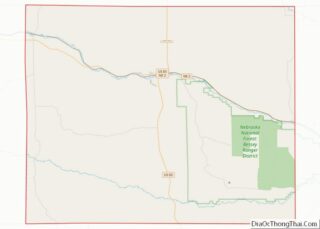
| County: | Thomas County |
| Elevation: | 2,979 ft (908 m) |
| Total Area: | 0.29 sq mi (0.76 km²) |
| Land Area: | 0.29 sq mi (0.76 km²) |
| Water Area: | 0.00 sq mi (0.00 km²) |
| Total Population: | 49 |
| Population Density: | 166.10/sq mi (64.09/km²) |
| ZIP code: | 69161 |
| Area code: | 308 |
| FIPS code: | 3144385 |
| GNISfeature ID: | 0833342 |
Online Interactive Map
Click on ![]() to view map in "full screen" mode.
to view map in "full screen" mode.
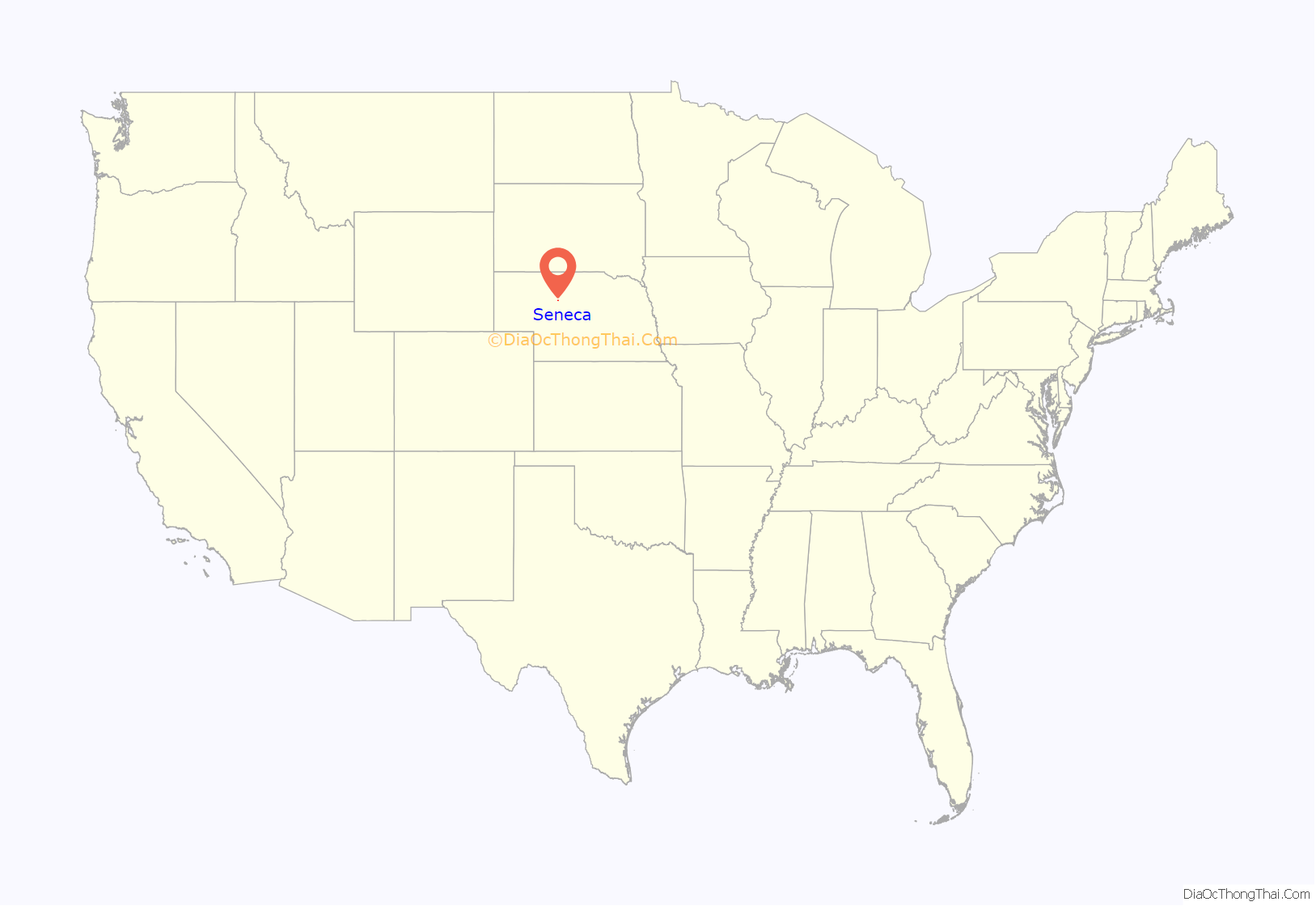
Seneca location map. Where is Seneca CDP?
History
The Chicago, Burlington and Quincy Railroad was constructed along the Middle Loup River in the late 1880s. Construction was halted for the winter of 1887–88 in western Thomas County, and the town of Seneca was established at that point in January 1888.
Seneca became a division point on the railroad, with a depot, rail yard, and roundhouse, employing over 70 people. Railroad operations brought a measure of prosperity to the town, and promoted its growth. Between 1918 and 1923, the Potash Highway, running from Grand Island to Alliance, was constructed parallel to the Burlington’s route; it ran through the center of Seneca. The town boasted a number of retail businesses, including hotels, banks, a lumberyard, a railroad cafe, and an automobile dealership. For some years, it was the largest municipality in Thomas County, reaching a peak population of 476 in 1920.
In 1926, the Potash Highway was reconfigured as Nebraska Highway 2. In the early 1940s, a re-alignment to reduce the number of railroad crossings shifted the highway to the south of Seneca. The railroad moved its operations out of the town, eliminating jobs and causing the loss of population and the closing of additional businesses.
In about 2013, a dispute arose over the village board’s passage of an ordinance prohibiting the keeping of horses in the town. It gave rise to a petition to disincorporate Seneca. In May 2014, the residents voted 17–16 for disincorporation, and the village was dissolved by the Thomas County Board at the end of June 2014.
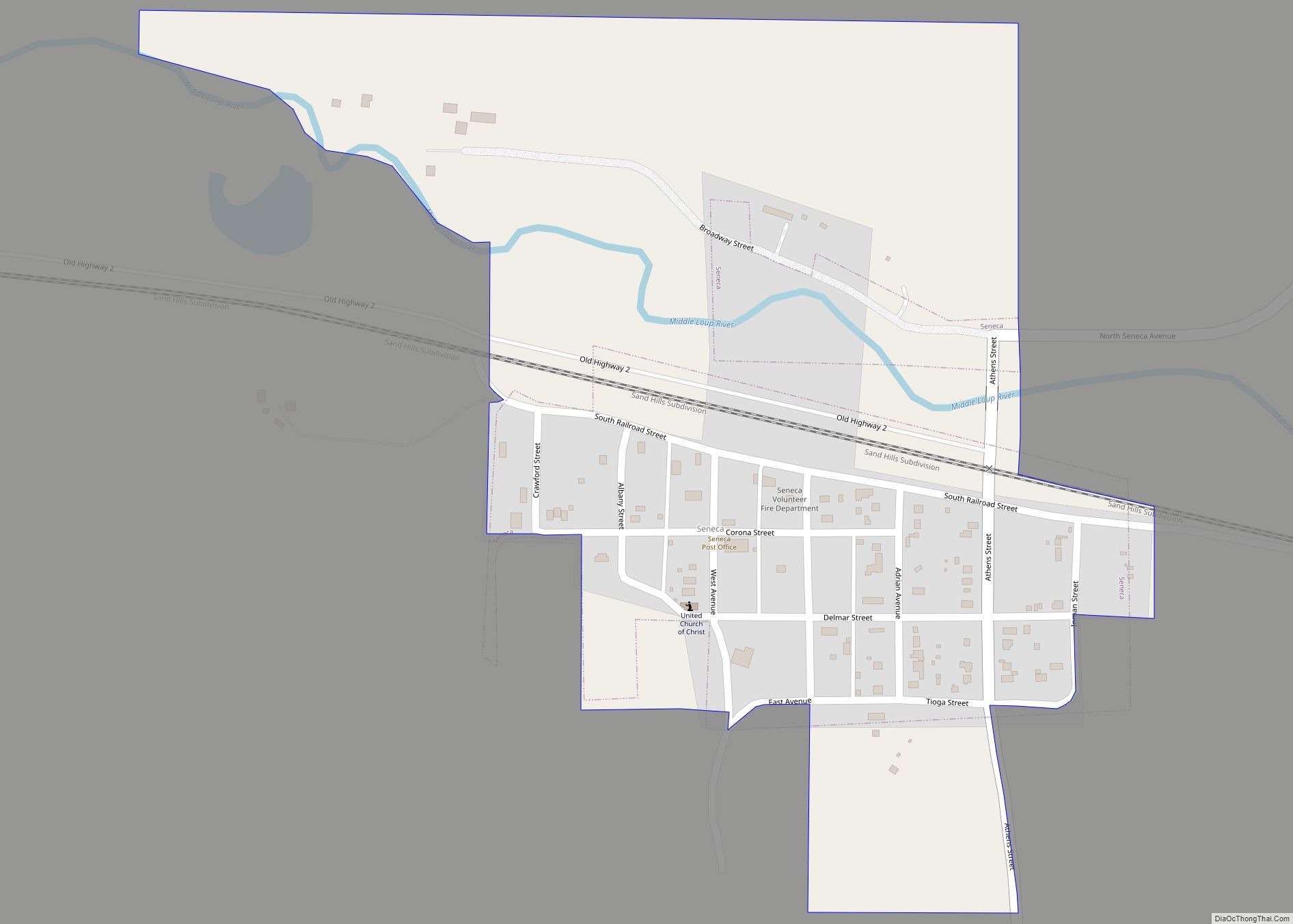
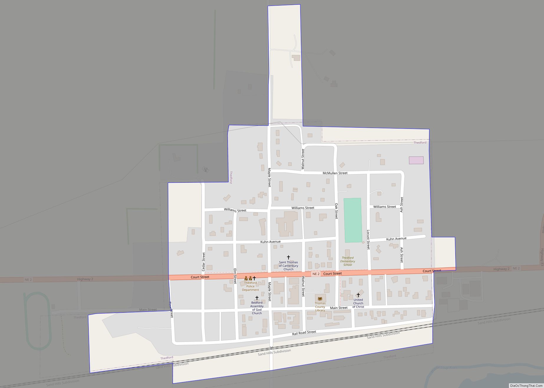
Seneca Road Map
Seneca city Satellite Map
Geography
Seneca is located at 42°02′34″N 100°49′54″W / 42.042717°N 100.831763°W / 42.042717; -100.831763 (42.042717, -100.831763).
According to the United States Census Bureau, the village has a total area of 0.13 square miles (0.34 km), all land.
See also
Map of Nebraska State and its subdivision:- Adams
- Antelope
- Arthur
- Banner
- Blaine
- Boone
- Box Butte
- Boyd
- Brown
- Buffalo
- Burt
- Butler
- Cass
- Cedar
- Chase
- Cherry
- Cheyenne
- Clay
- Colfax
- Cuming
- Custer
- Dakota
- Dawes
- Dawson
- Deuel
- Dixon
- Dodge
- Douglas
- Dundy
- Fillmore
- Franklin
- Frontier
- Furnas
- Gage
- Garden
- Garfield
- Gosper
- Grant
- Greeley
- Hall
- Hamilton
- Harlan
- Hayes
- Hitchcock
- Holt
- Hooker
- Howard
- Jefferson
- Johnson
- Kearney
- Keith
- Keya Paha
- Kimball
- Knox
- Lancaster
- Lincoln
- Logan
- Loup
- Madison
- McPherson
- Merrick
- Morrill
- Nance
- Nemaha
- Nuckolls
- Otoe
- Pawnee
- Perkins
- Phelps
- Pierce
- Platte
- Polk
- Red Willow
- Richardson
- Rock
- Saline
- Sarpy
- Saunders
- Scotts Bluff
- Seward
- Sheridan
- Sherman
- Sioux
- Stanton
- Thayer
- Thomas
- Thurston
- Valley
- Washington
- Wayne
- Webster
- Wheeler
- York
- Alabama
- Alaska
- Arizona
- Arkansas
- California
- Colorado
- Connecticut
- Delaware
- District of Columbia
- Florida
- Georgia
- Hawaii
- Idaho
- Illinois
- Indiana
- Iowa
- Kansas
- Kentucky
- Louisiana
- Maine
- Maryland
- Massachusetts
- Michigan
- Minnesota
- Mississippi
- Missouri
- Montana
- Nebraska
- Nevada
- New Hampshire
- New Jersey
- New Mexico
- New York
- North Carolina
- North Dakota
- Ohio
- Oklahoma
- Oregon
- Pennsylvania
- Rhode Island
- South Carolina
- South Dakota
- Tennessee
- Texas
- Utah
- Vermont
- Virginia
- Washington
- West Virginia
- Wisconsin
- Wyoming
