Talmage is a village in Otoe County, Nebraska, United States. The population was 198 at the 2020 census.
| Name: | Talmage village |
|---|---|
| LSAD Code: | 47 |
| LSAD Description: | village (suffix) |
| State: | Nebraska |
| County: | Otoe County |
| Elevation: | 991 ft (302 m) |
| Total Area: | 0.16 sq mi (0.42 km²) |
| Land Area: | 0.16 sq mi (0.42 km²) |
| Water Area: | 0.00 sq mi (0.00 km²) |
| Total Population: | 198 |
| Population Density: | 1,207.32/sq mi (466.54/km²) |
| ZIP code: | 68448 |
| Area code: | 402 |
| FIPS code: | 3148305 |
| GNISfeature ID: | 2399949 |
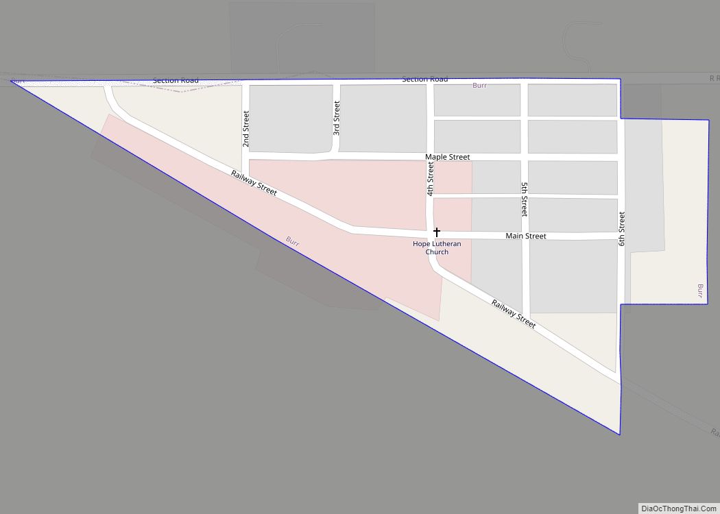
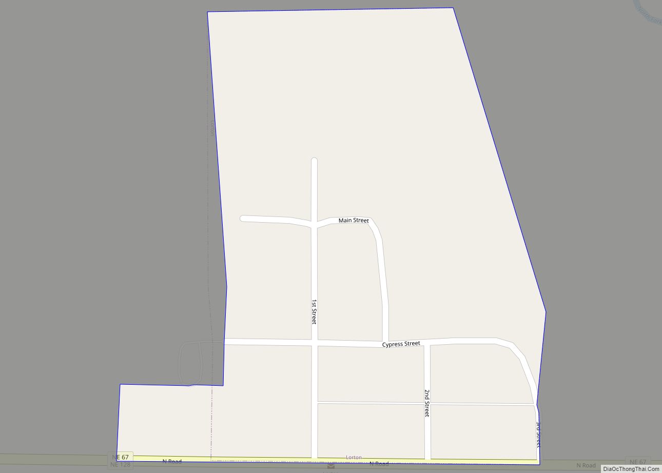
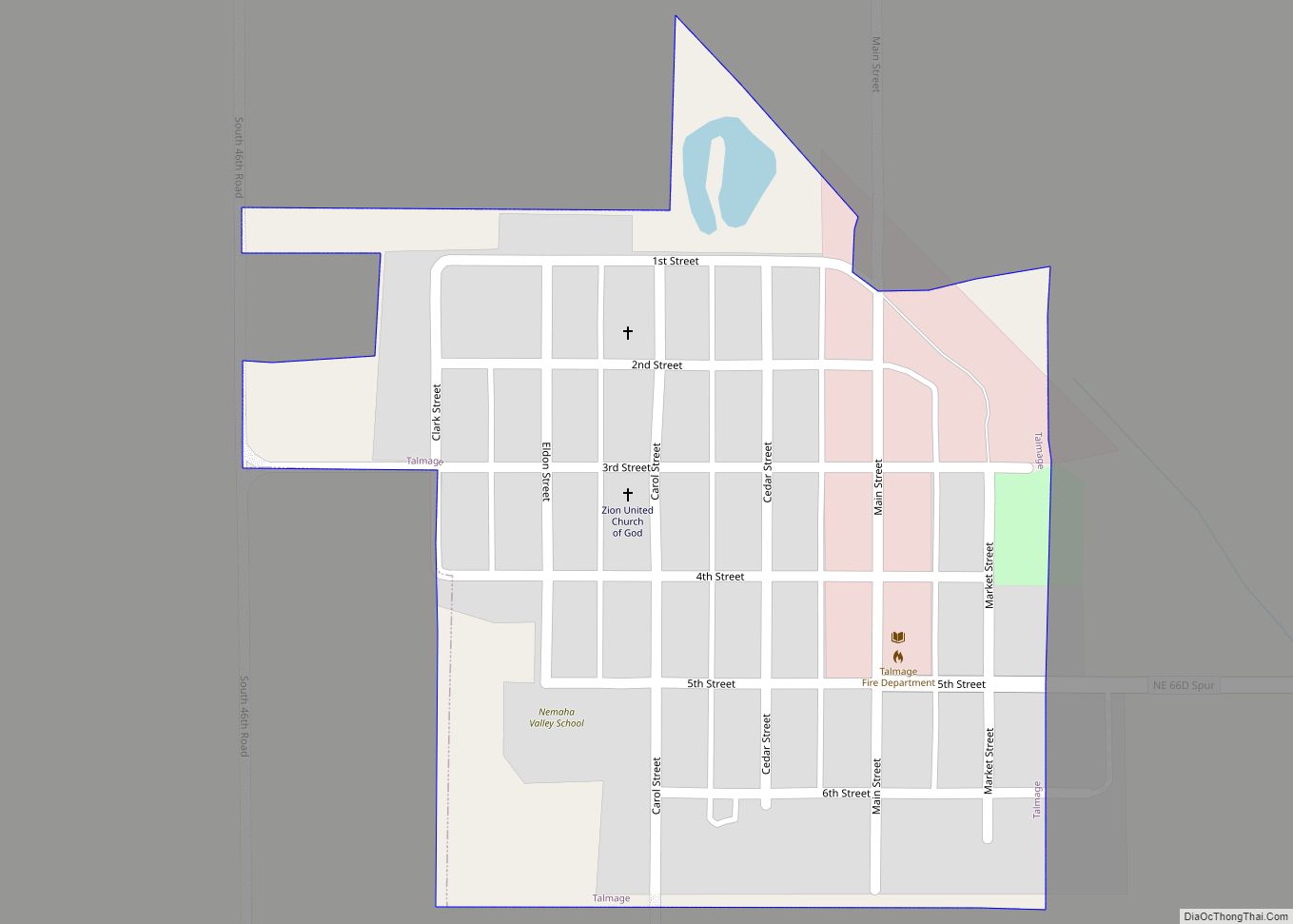
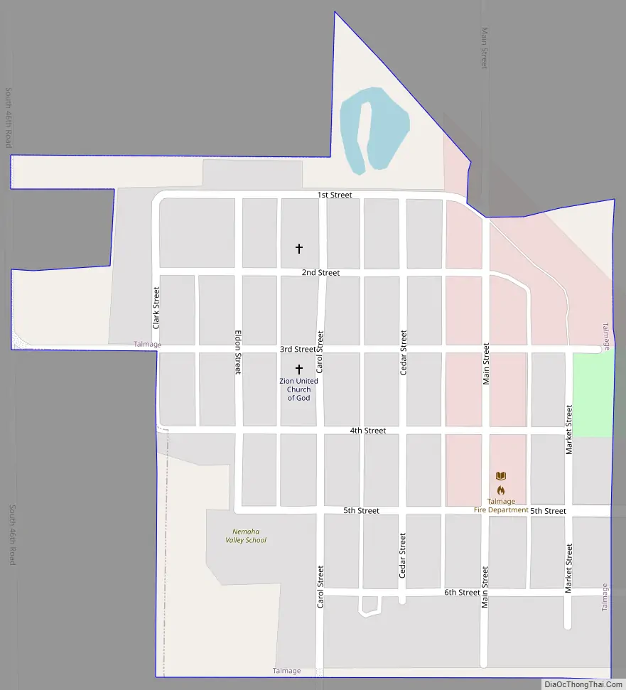
Online Interactive Map
Click on ![]() to view map in "full screen" mode.
to view map in "full screen" mode.
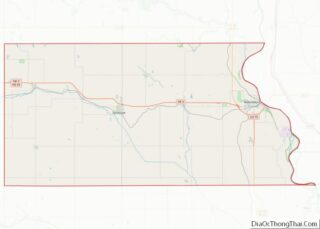
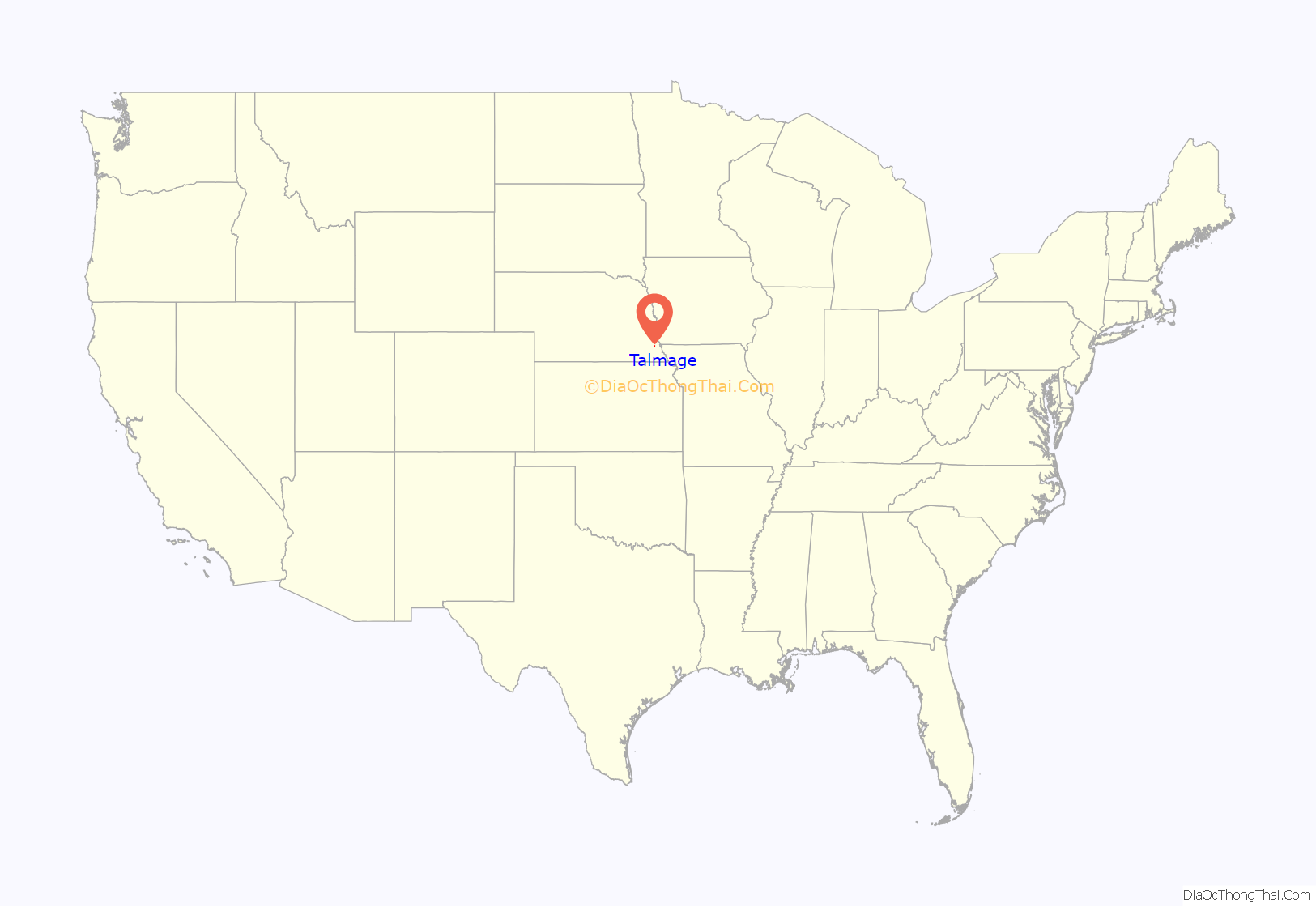
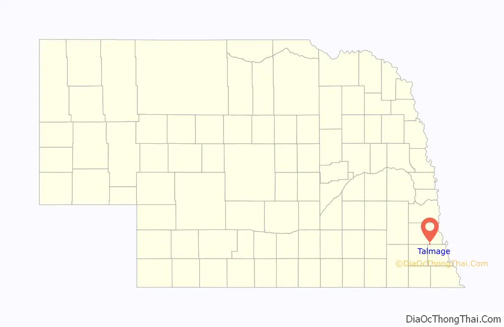
Talmage location map. Where is Talmage village?
History
The area in the vicinity of Talmage began to be settled in the late 1850s. The Missouri Pacific Railroad’s Kansas City-Omaha line construction reached the area by 1881. The town was platted on March 7, 1882, on land donated by local farmer Clark Puffer. It was named for Archibald A. Talmage, a superintendent of the railroad,
Talmage was the birthplace (in 1913) of film actor Anthony Dexter.
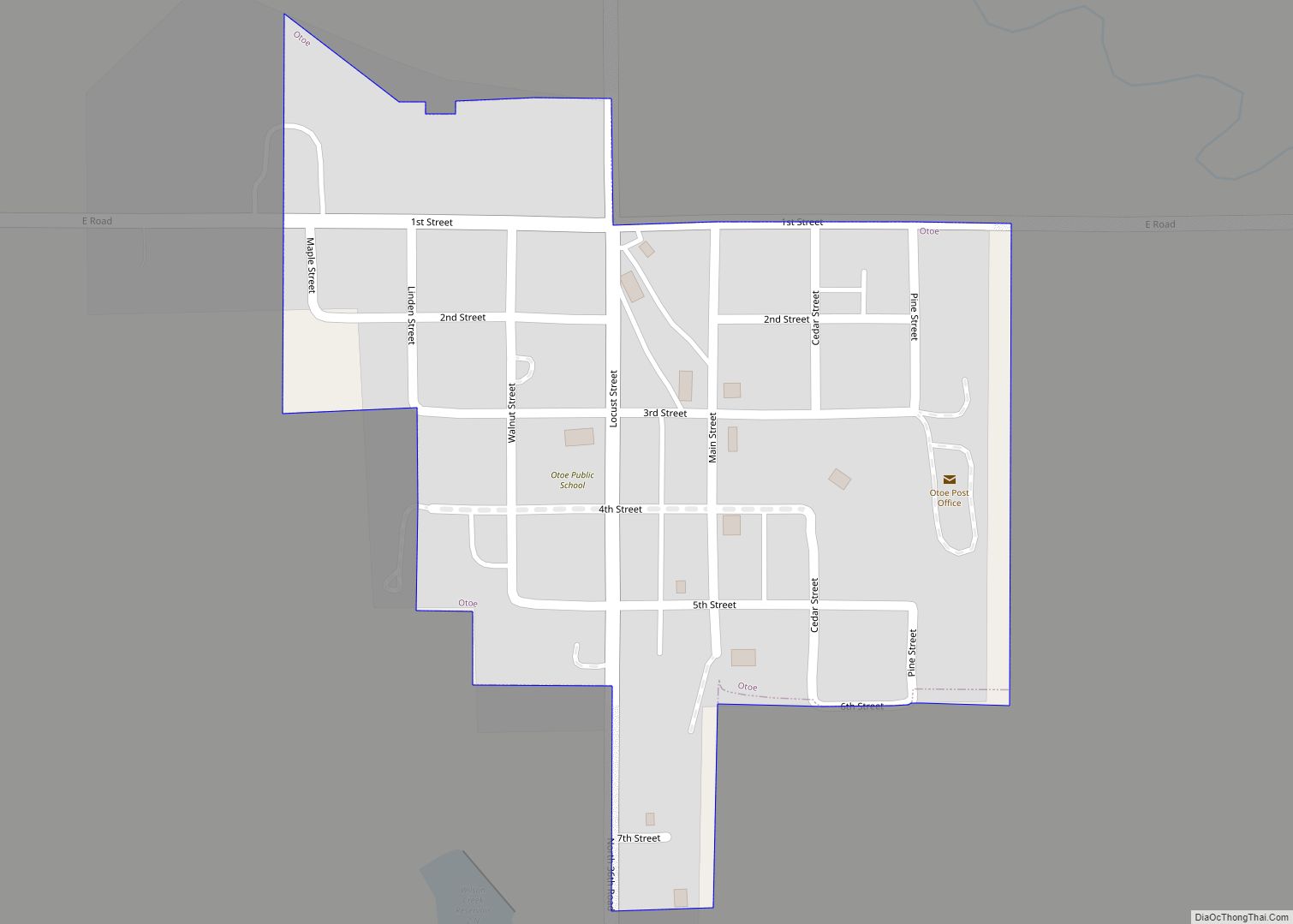
Talmage Road Map
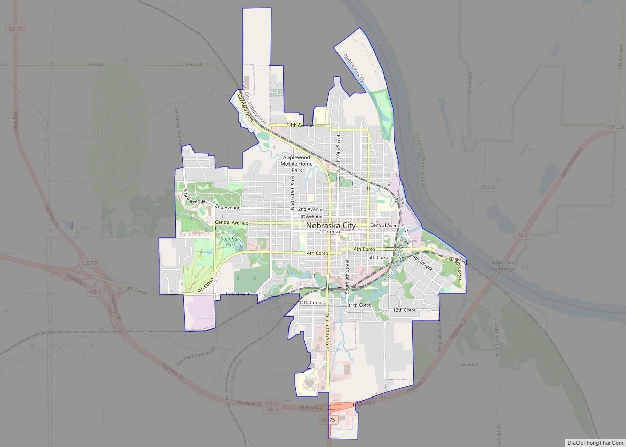
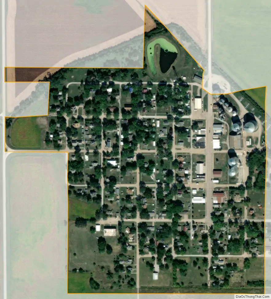
Talmage city Satellite Map
Geography
Talmage is located at 40°31′54″N 96°1′25″W / 40.53167°N 96.02361°W / 40.53167; -96.02361 (40.531767, -96.023678).
According to the United States Census Bureau, the village has a total area of 0.16 square miles (0.41 km), all land.
The town is located southeast of Lincoln and south of Omaha, lying just west of Nebraska Highway 67.
See also
Map of Nebraska State and its subdivision:- Adams
- Antelope
- Arthur
- Banner
- Blaine
- Boone
- Box Butte
- Boyd
- Brown
- Buffalo
- Burt
- Butler
- Cass
- Cedar
- Chase
- Cherry
- Cheyenne
- Clay
- Colfax
- Cuming
- Custer
- Dakota
- Dawes
- Dawson
- Deuel
- Dixon
- Dodge
- Douglas
- Dundy
- Fillmore
- Franklin
- Frontier
- Furnas
- Gage
- Garden
- Garfield
- Gosper
- Grant
- Greeley
- Hall
- Hamilton
- Harlan
- Hayes
- Hitchcock
- Holt
- Hooker
- Howard
- Jefferson
- Johnson
- Kearney
- Keith
- Keya Paha
- Kimball
- Knox
- Lancaster
- Lincoln
- Logan
- Loup
- Madison
- McPherson
- Merrick
- Morrill
- Nance
- Nemaha
- Nuckolls
- Otoe
- Pawnee
- Perkins
- Phelps
- Pierce
- Platte
- Polk
- Red Willow
- Richardson
- Rock
- Saline
- Sarpy
- Saunders
- Scotts Bluff
- Seward
- Sheridan
- Sherman
- Sioux
- Stanton
- Thayer
- Thomas
- Thurston
- Valley
- Washington
- Wayne
- Webster
- Wheeler
- York
- Alabama
- Alaska
- Arizona
- Arkansas
- California
- Colorado
- Connecticut
- Delaware
- District of Columbia
- Florida
- Georgia
- Hawaii
- Idaho
- Illinois
- Indiana
- Iowa
- Kansas
- Kentucky
- Louisiana
- Maine
- Maryland
- Massachusetts
- Michigan
- Minnesota
- Mississippi
- Missouri
- Montana
- Nebraska
- Nevada
- New Hampshire
- New Jersey
- New Mexico
- New York
- North Carolina
- North Dakota
- Ohio
- Oklahoma
- Oregon
- Pennsylvania
- Rhode Island
- South Carolina
- South Dakota
- Tennessee
- Texas
- Utah
- Vermont
- Virginia
- Washington
- West Virginia
- Wisconsin
- Wyoming