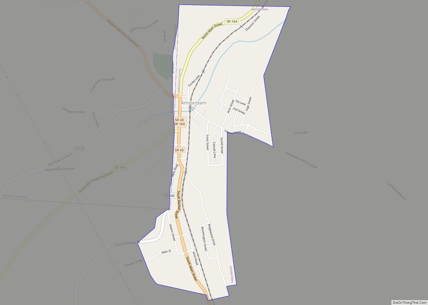
Amsterdam is a village in northwestern Jefferson County, Ohio, United States. The population was 436 at the 2020 census. The community was founded by Dutch immigrant David Johnson and named after the city of Amsterdam, Netherlands. It is part of the Weirton–Steubenville metropolitan area.
| Name: | Amsterdam village |
|---|---|
| LSAD Code: | 47 |
| LSAD Description: | village (suffix) |
| State: | Ohio |
| County: | Jefferson County |
| Elevation: | 935 ft (285 m) |
| Total Area: | 0.32 sq mi (0.83 km²) |
| Land Area: | 0.32 sq mi (0.83 km²) |
| Water Area: | 0.00 sq mi (0.00 km²) |
| Total Population: | 436 |
| Population Density: | 1,362.50/sq mi (526.55/km²) |
| ZIP code: | 43903 |
| Area code: | 740 |
| FIPS code: | 3901938 |
| GNISfeature ID: | 1048461 |
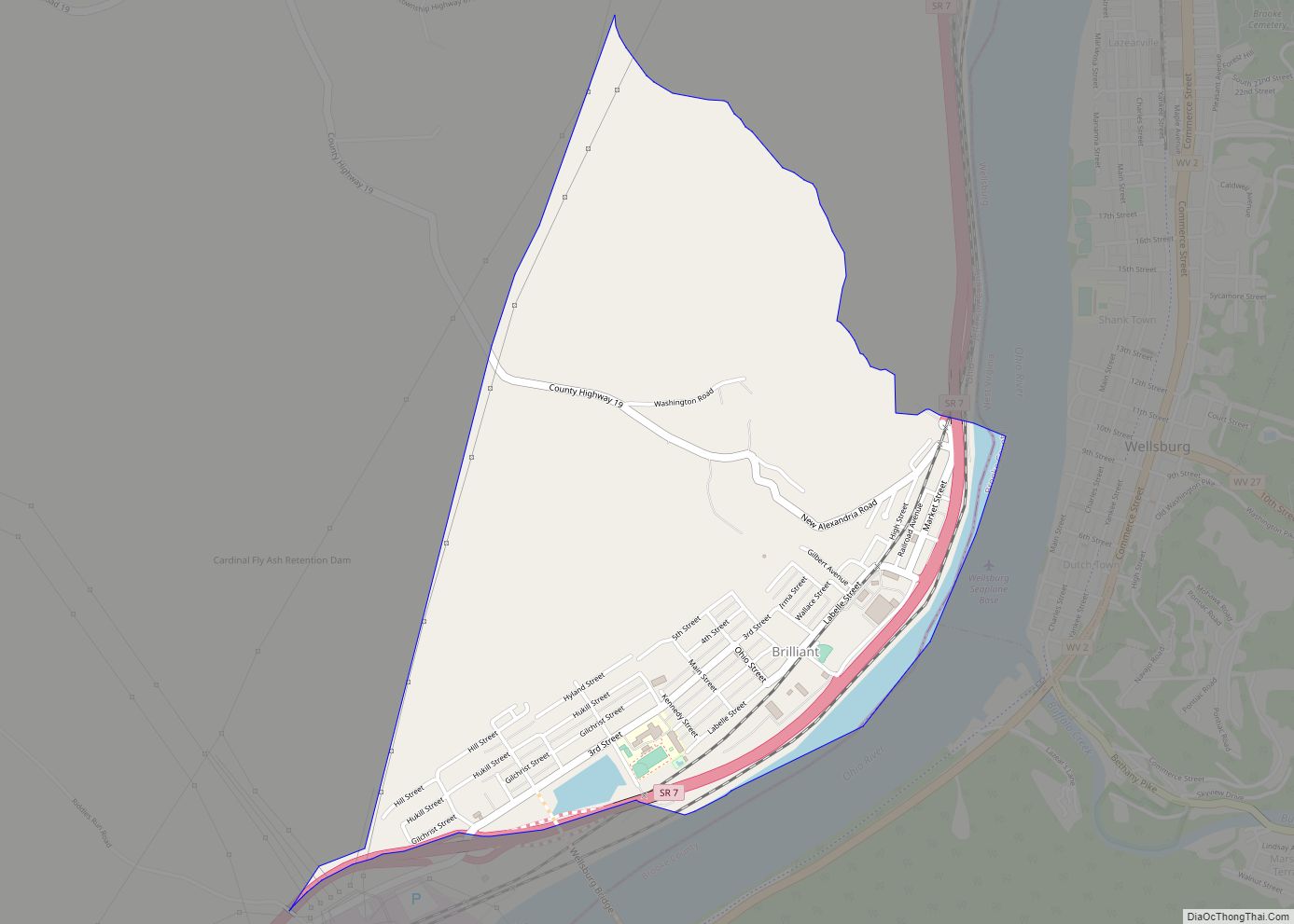
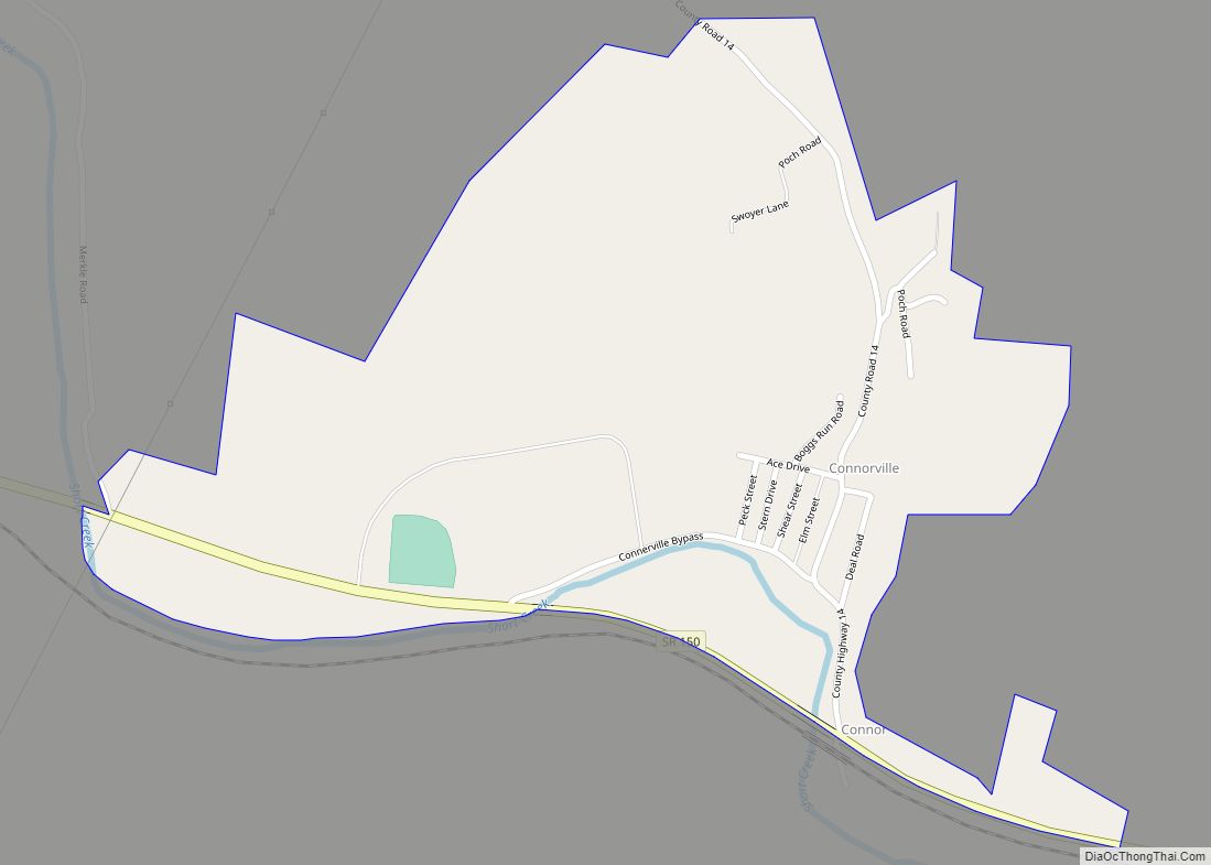
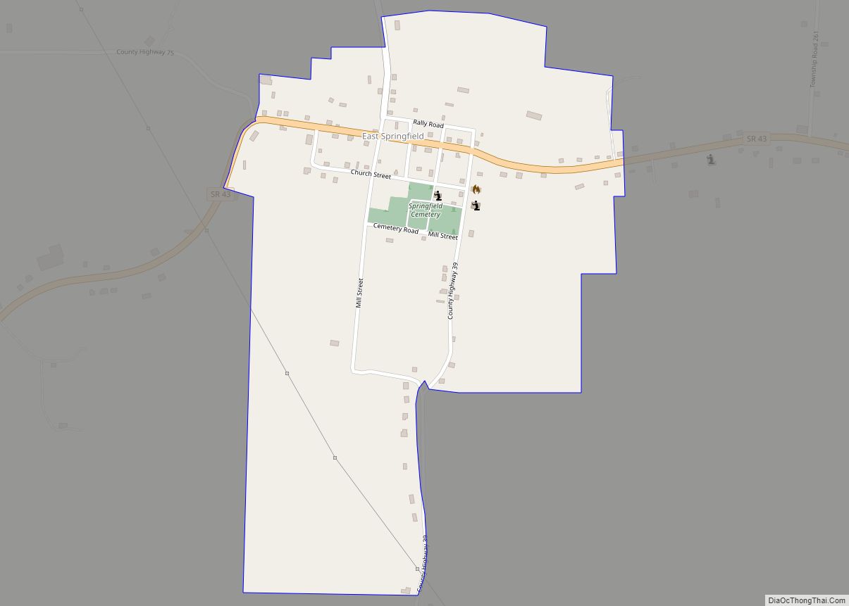
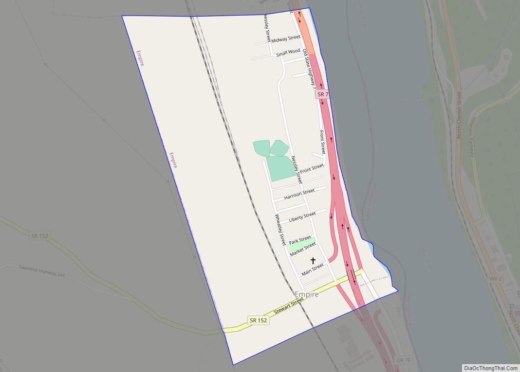
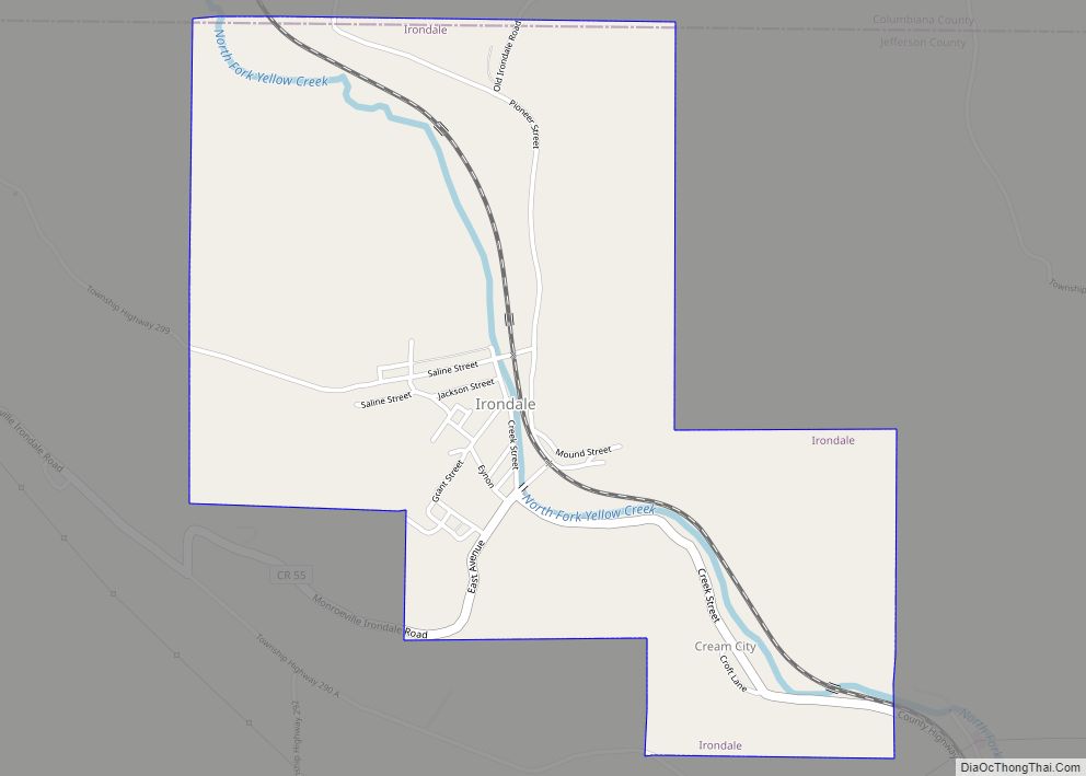
Online Interactive Map
Click on ![]() to view map in "full screen" mode.
to view map in "full screen" mode.
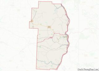
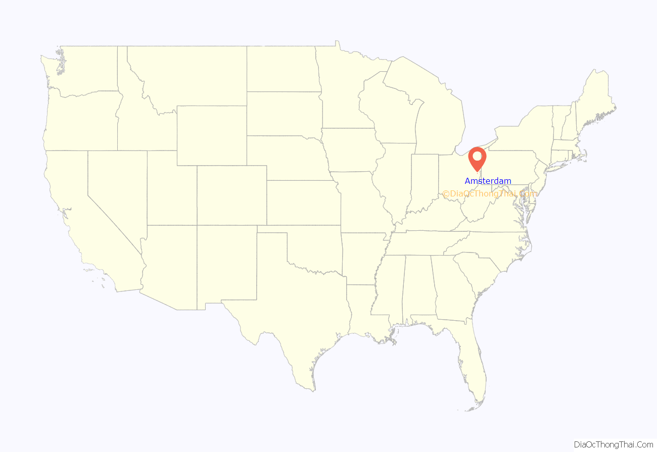
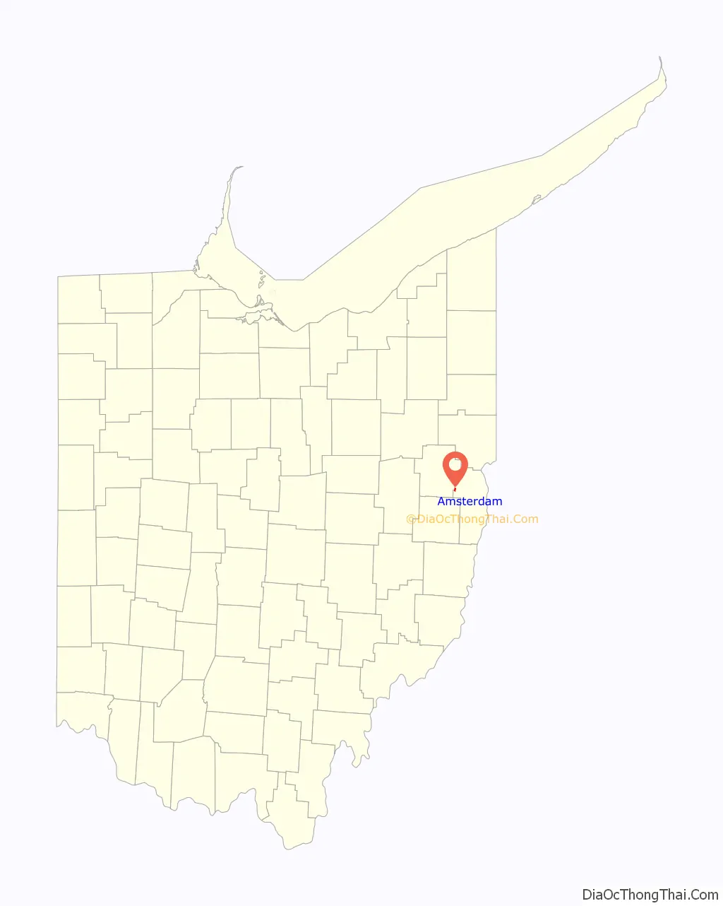
Amsterdam location map. Where is Amsterdam village?
History
Amsterdam was laid out in 1828. A post office called Amsterdam has been in operation since 1832. Amsterdam was designed a Tree City USA by the National Arbor Day Foundation in 1997.
Amsterdam Road Map
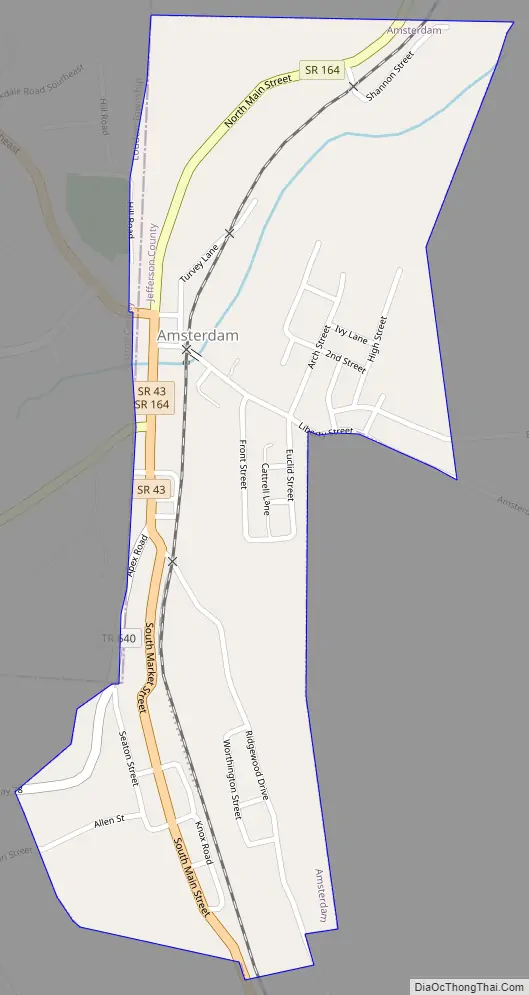
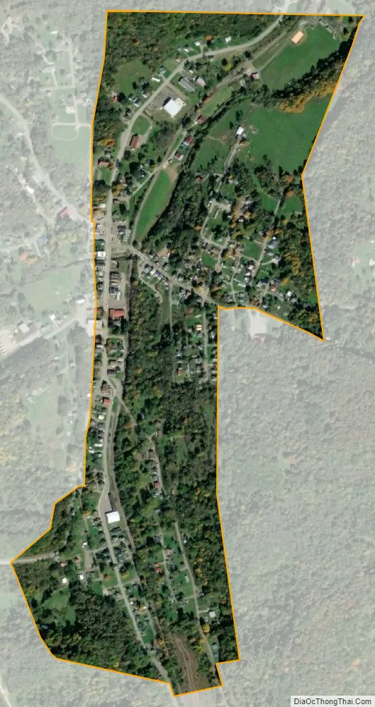
Amsterdam city Satellite Map
Geography
Amsterdam is located at 40°28′19″N 80°55′16″W / 40.47194°N 80.92111°W / 40.47194; -80.92111 (40.471814, -80.921194).
According to the United States Census Bureau, the village has a total area of 0.32 square miles (0.83 km), all land.
See also
Map of Ohio State and its subdivision:- Adams
- Allen
- Ashland
- Ashtabula
- Athens
- Auglaize
- Belmont
- Brown
- Butler
- Carroll
- Champaign
- Clark
- Clermont
- Clinton
- Columbiana
- Coshocton
- Crawford
- Cuyahoga
- Darke
- Defiance
- Delaware
- Erie
- Fairfield
- Fayette
- Franklin
- Fulton
- Gallia
- Geauga
- Greene
- Guernsey
- Hamilton
- Hancock
- Hardin
- Harrison
- Henry
- Highland
- Hocking
- Holmes
- Huron
- Jackson
- Jefferson
- Knox
- Lake
- Lake Erie
- Lawrence
- Licking
- Logan
- Lorain
- Lucas
- Madison
- Mahoning
- Marion
- Medina
- Meigs
- Mercer
- Miami
- Monroe
- Montgomery
- Morgan
- Morrow
- Muskingum
- Noble
- Ottawa
- Paulding
- Perry
- Pickaway
- Pike
- Portage
- Preble
- Putnam
- Richland
- Ross
- Sandusky
- Scioto
- Seneca
- Shelby
- Stark
- Summit
- Trumbull
- Tuscarawas
- Union
- Van Wert
- Vinton
- Warren
- Washington
- Wayne
- Williams
- Wood
- Wyandot
- Alabama
- Alaska
- Arizona
- Arkansas
- California
- Colorado
- Connecticut
- Delaware
- District of Columbia
- Florida
- Georgia
- Hawaii
- Idaho
- Illinois
- Indiana
- Iowa
- Kansas
- Kentucky
- Louisiana
- Maine
- Maryland
- Massachusetts
- Michigan
- Minnesota
- Mississippi
- Missouri
- Montana
- Nebraska
- Nevada
- New Hampshire
- New Jersey
- New Mexico
- New York
- North Carolina
- North Dakota
- Ohio
- Oklahoma
- Oregon
- Pennsylvania
- Rhode Island
- South Carolina
- South Dakota
- Tennessee
- Texas
- Utah
- Vermont
- Virginia
- Washington
- West Virginia
- Wisconsin
- Wyoming