Bay Village is a city in western Cuyahoga County, Ohio, United States. Located along the southern shore of Lake Erie, the city is a western suburb of Cleveland and a part of the Cleveland metropolitan area. The population was 16,163 at the 2020 census.
| Name: | Bay Village city |
|---|---|
| LSAD Code: | 25 |
| LSAD Description: | city (suffix) |
| State: | Ohio |
| County: | Cuyahoga County |
| Elevation: | 633 ft (193 m) |
| Total Area: | 7.05 sq mi (18.27 km²) |
| Land Area: | 4.57 sq mi (11.83 km²) |
| Water Area: | 2.49 sq mi (6.44 km²) |
| Total Population: | 16,163 |
| Population Density: | 3,539.86/sq mi (1,366.84/km²) |
| ZIP code: | 44140 |
| Area code: | 440 |
| FIPS code: | 3904416 |
| GNISfeature ID: | 1064393 |
| Website: | http://www.cityofbayvillage.com/ |
Online Interactive Map
Click on ![]() to view map in "full screen" mode.
to view map in "full screen" mode.
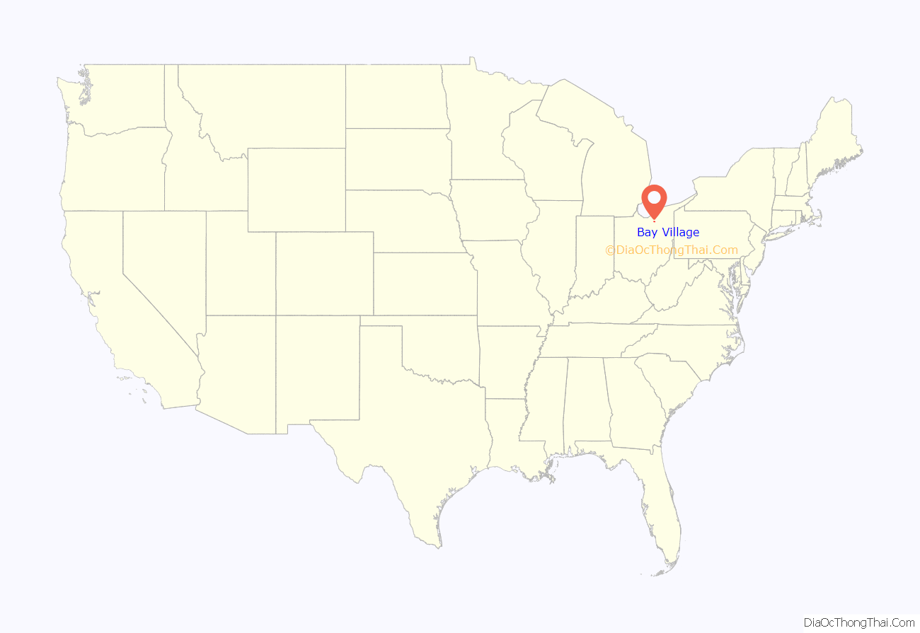
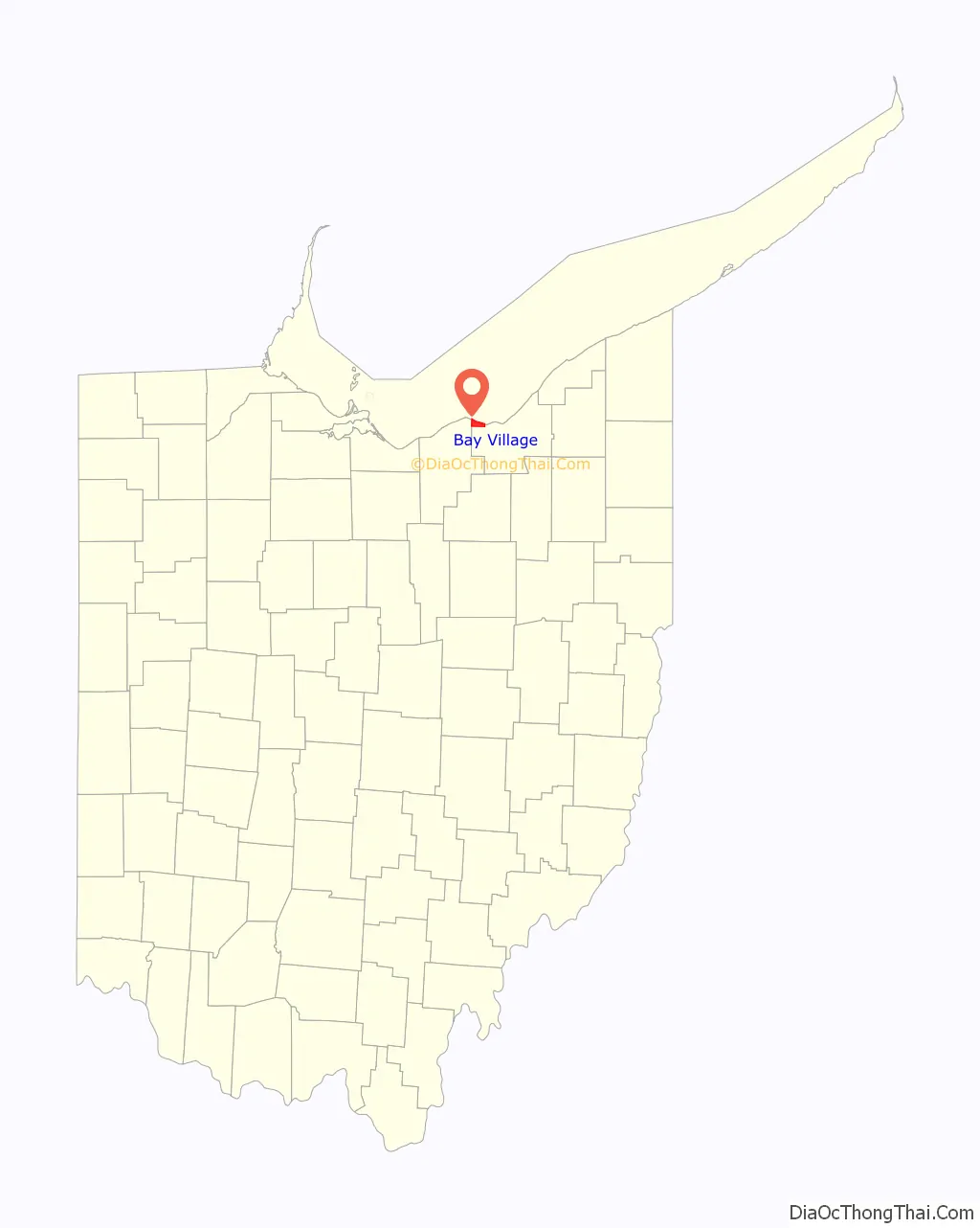
Bay Village location map. Where is Bay Village city?
History
Before the first European-Americans arrived in the area around 1600, Erie Indians lived in Bay Village and the surrounding areas. The most important Indian trail in Ohio is present-day Lake Road, which is a main road in Bay Village. In that same century, what is now Bay Village, along with Avon Lake, Avon, and Westlake, was part of one territory. This territory was later called by the whites in a native language, “Xeuma”, a term roughly meaning “those who came before us”.
The area belonged to Connecticut until 1803, the year in which Ohio became a state. Before 1803, the Connecticut Land Company sold and gave away land in the area to Connecticut citizens, who had lost their homes and farms during the Revolutionary War. Because many had lost their homes to fires during the war, this new area was named “the Firelands”. One surveyor with the Connecticut Land Company was Moses Cleaveland. He came with his friends on horseback from Connecticut and stopped at the Cuyahoga River with his Indian guides in July 1796. The land was then divided into five townships. The area between the Cuyahoga River and The Firelands to the west was laid out in 1806.
Joseph Cahoon settled in what is now Bay Village in 1810. Bay Village was part of the original Dover Township, which comprised present-day Bay Village, Westlake, and portions of North Olmsted. By the turn of the 20th century, Dover would have a permanent population of roughly 2,200, with wealthy part-time residents who owned summer cottages on Lake Erie adding to this total in the summer months. In 1901, landowners in northern Dover forced an election to split from Dover Township, forming Bay Township. In 1903, Bay Village was incorporated, and the first mayor and council were elected. Ida Marie Cahoon, the last Cahoon descendant, died in 1917, leaving the family home and 115 acres of land to the city which is known today as Cahoon Memorial Park. John Huntington, one of the original partners of Standard Oil Company, donated his summer estate to the Cleveland Metroparks, which would later become the Huntington Reservation. Bay Village became a city on January 1, 1950, when it had reached a population of 6,917.
With decades of growth starting in the 1930s, Bay Village became a prominent Cleveland suburb. Today, it is characterized by tree-lined streets of craftsmen, Cape Cod, Tudor, and colonial homes, as well as estates on Lake Erie.
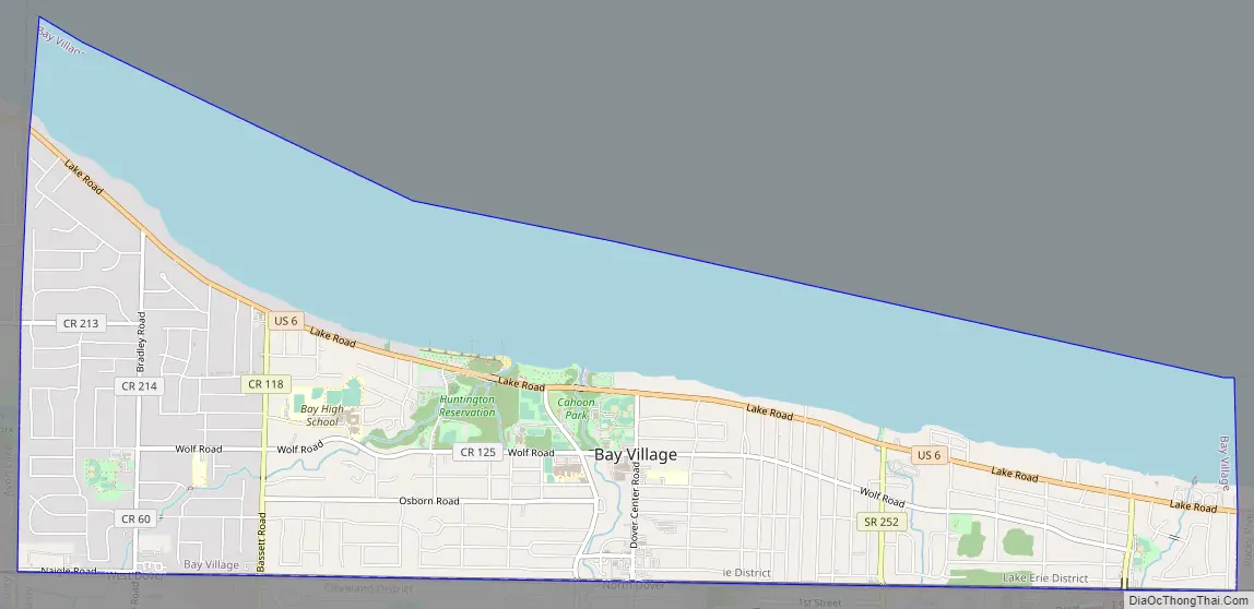
Bay Village Road Map
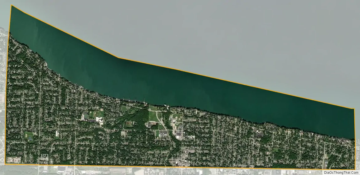
Bay Village city Satellite Map
Geography
Bay Village is located at 41°29′3″N 81°55′36″W / 41.48417°N 81.92667°W / 41.48417; -81.92667 (41.484193, −81.926581).
According to the United States Census Bureau, the city has a total area of 7.06 square miles (18.29 km), of which, 4.57 square miles (11.84 km) is land and 2.49 square miles (6.45 km) is water.
Bay Village is home to the Cleveland Metroparks Huntington Reservation. Lake Erie Nature & Science Center and BAYarts are also located within the reservation. Bay Village is located in Ohio’s 9th congressional district.
See also
Map of Ohio State and its subdivision:- Adams
- Allen
- Ashland
- Ashtabula
- Athens
- Auglaize
- Belmont
- Brown
- Butler
- Carroll
- Champaign
- Clark
- Clermont
- Clinton
- Columbiana
- Coshocton
- Crawford
- Cuyahoga
- Darke
- Defiance
- Delaware
- Erie
- Fairfield
- Fayette
- Franklin
- Fulton
- Gallia
- Geauga
- Greene
- Guernsey
- Hamilton
- Hancock
- Hardin
- Harrison
- Henry
- Highland
- Hocking
- Holmes
- Huron
- Jackson
- Jefferson
- Knox
- Lake
- Lake Erie
- Lawrence
- Licking
- Logan
- Lorain
- Lucas
- Madison
- Mahoning
- Marion
- Medina
- Meigs
- Mercer
- Miami
- Monroe
- Montgomery
- Morgan
- Morrow
- Muskingum
- Noble
- Ottawa
- Paulding
- Perry
- Pickaway
- Pike
- Portage
- Preble
- Putnam
- Richland
- Ross
- Sandusky
- Scioto
- Seneca
- Shelby
- Stark
- Summit
- Trumbull
- Tuscarawas
- Union
- Van Wert
- Vinton
- Warren
- Washington
- Wayne
- Williams
- Wood
- Wyandot
- Alabama
- Alaska
- Arizona
- Arkansas
- California
- Colorado
- Connecticut
- Delaware
- District of Columbia
- Florida
- Georgia
- Hawaii
- Idaho
- Illinois
- Indiana
- Iowa
- Kansas
- Kentucky
- Louisiana
- Maine
- Maryland
- Massachusetts
- Michigan
- Minnesota
- Mississippi
- Missouri
- Montana
- Nebraska
- Nevada
- New Hampshire
- New Jersey
- New Mexico
- New York
- North Carolina
- North Dakota
- Ohio
- Oklahoma
- Oregon
- Pennsylvania
- Rhode Island
- South Carolina
- South Dakota
- Tennessee
- Texas
- Utah
- Vermont
- Virginia
- Washington
- West Virginia
- Wisconsin
- Wyoming


