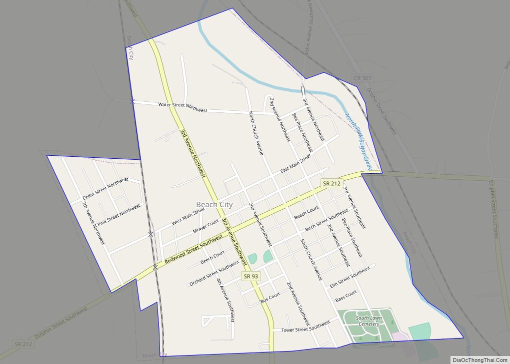
Beach City is a village in Stark County, Ohio, United States. The population was 1,033 at the 2010 census. It is part of the Canton-Massillon, OH Metropolitan Statistical Area.
| Name: | Beach City village |
|---|---|
| LSAD Code: | 47 |
| LSAD Description: | village (suffix) |
| State: | Ohio |
| County: | Stark County |
| Elevation: | 1,001 ft (305 m) |
| Total Area: | 0.43 sq mi (1.11 km²) |
| Land Area: | 0.43 sq mi (1.11 km²) |
| Water Area: | 0.00 sq mi (0.00 km²) |
| Total Population: | 940 |
| Population Density: | 2,196.26/sq mi (847.77/km²) |
| ZIP code: | 44608 |
| Area code: | 330 |
| FIPS code: | 3904458 |
| GNISfeature ID: | 1083966 |
| Website: | www.beachcityohio.org |
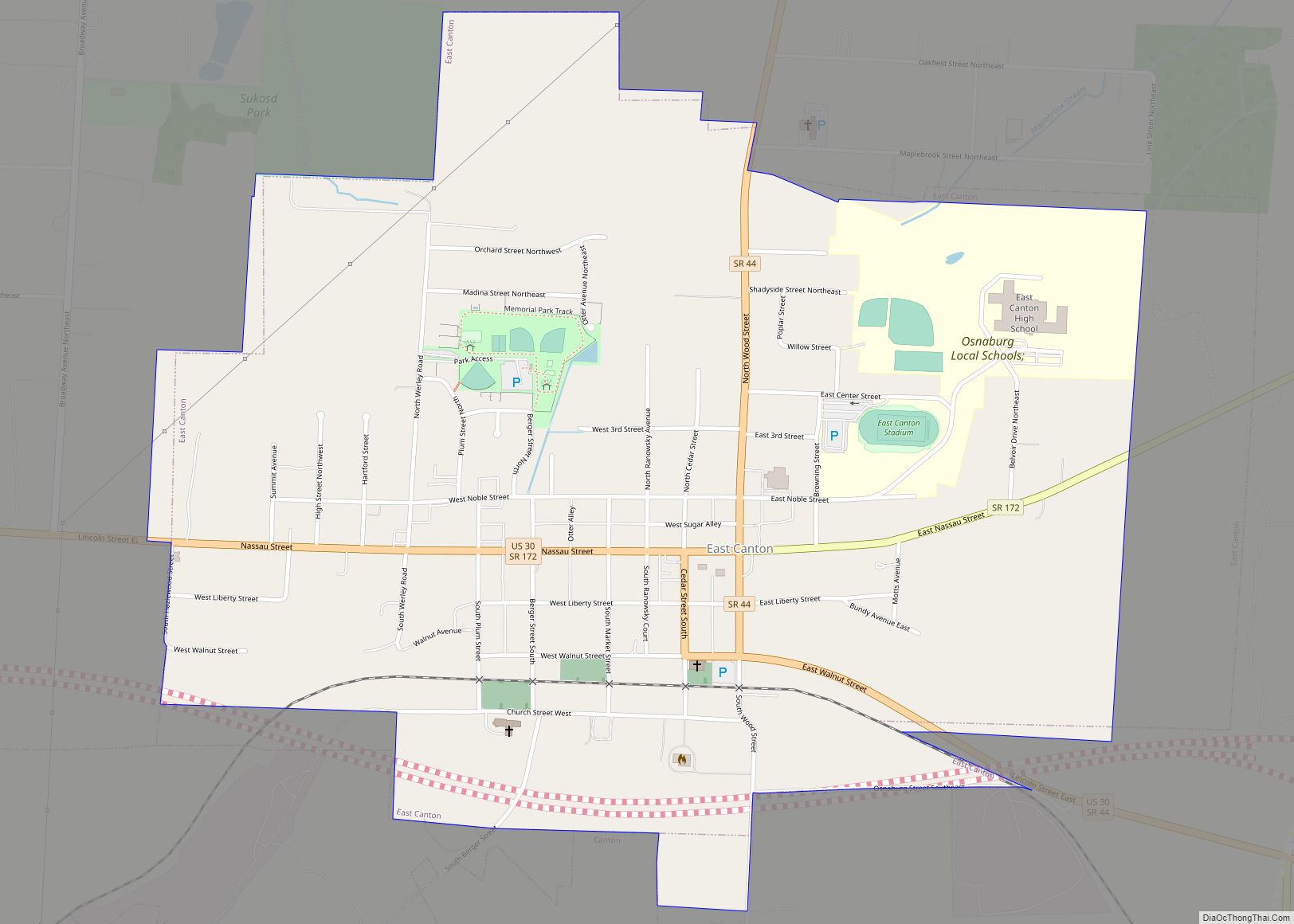
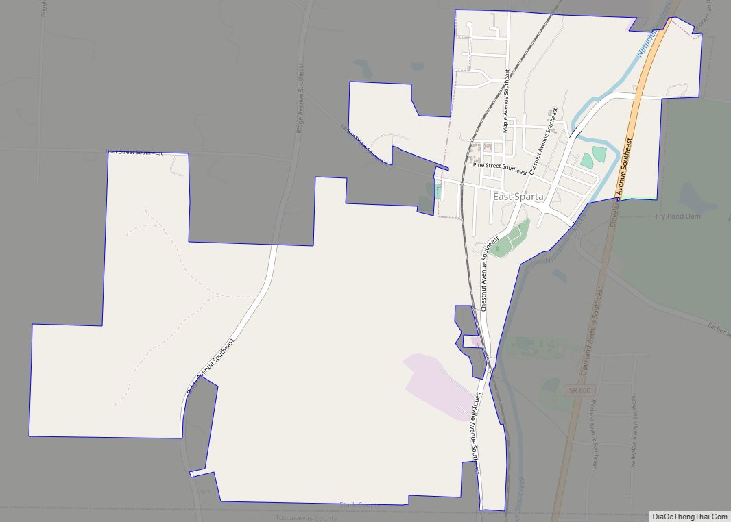
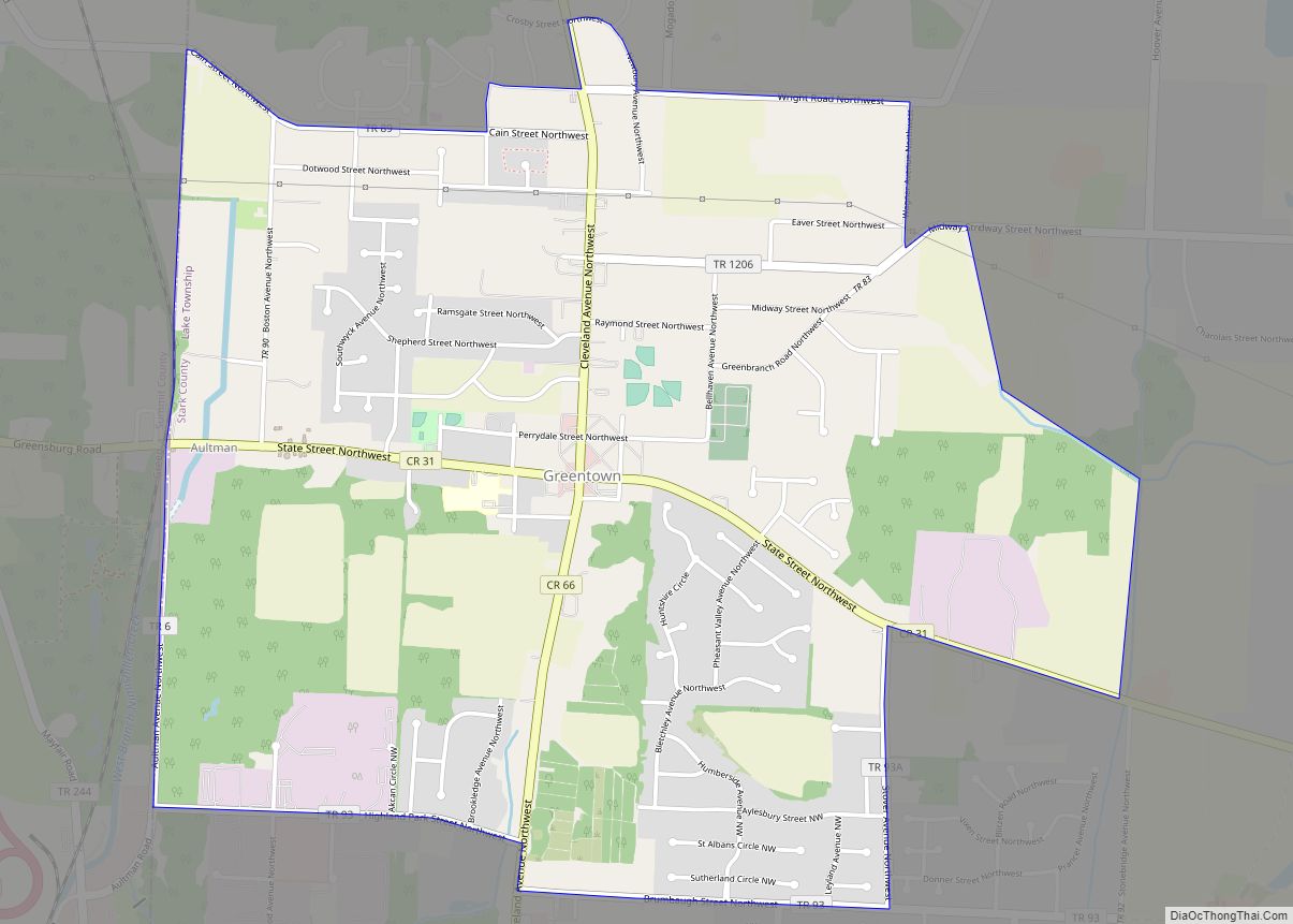
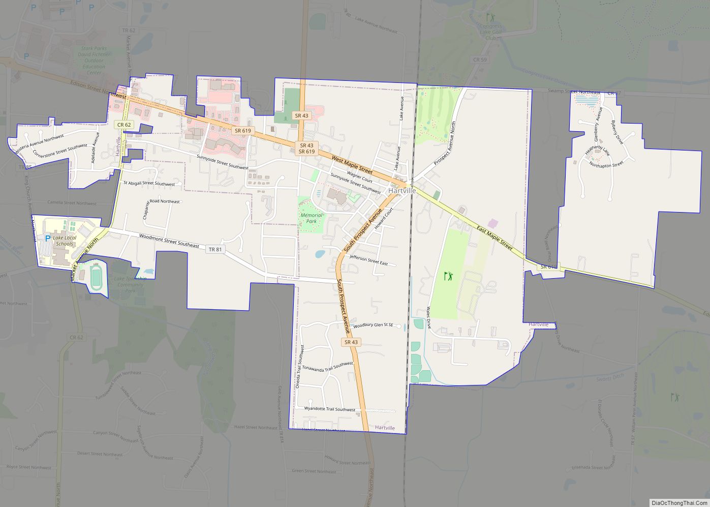
Online Interactive Map
Click on ![]() to view map in "full screen" mode.
to view map in "full screen" mode.
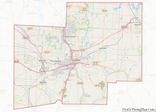
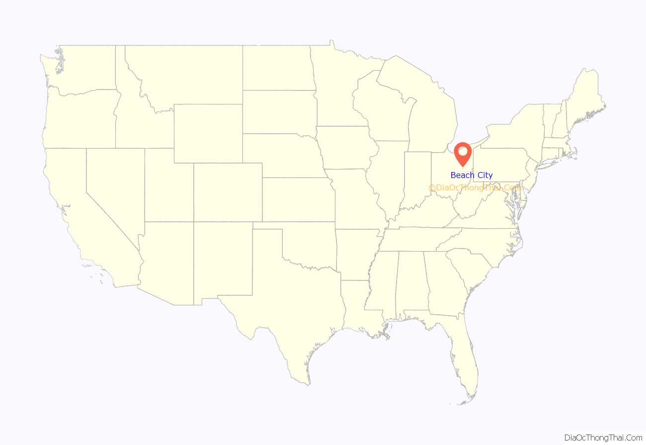
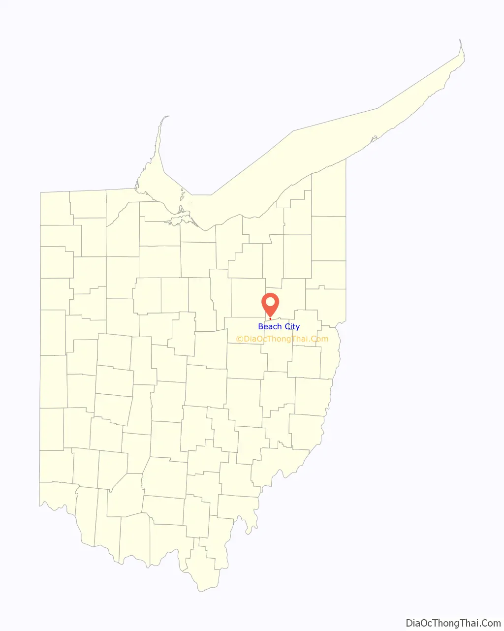
Beach City location map. Where is Beach City village?
History
Beach City is named after Henry Beach, a railroad official.
A cave known locally as Machan’s Rock exists south of Beach City. The site is rumored to be a former Underground Railroad stop. In recent years, the cave and its surrounding rock formations have been covered with graffiti and have purportedly been the site of two accidental deaths since the 1950s.
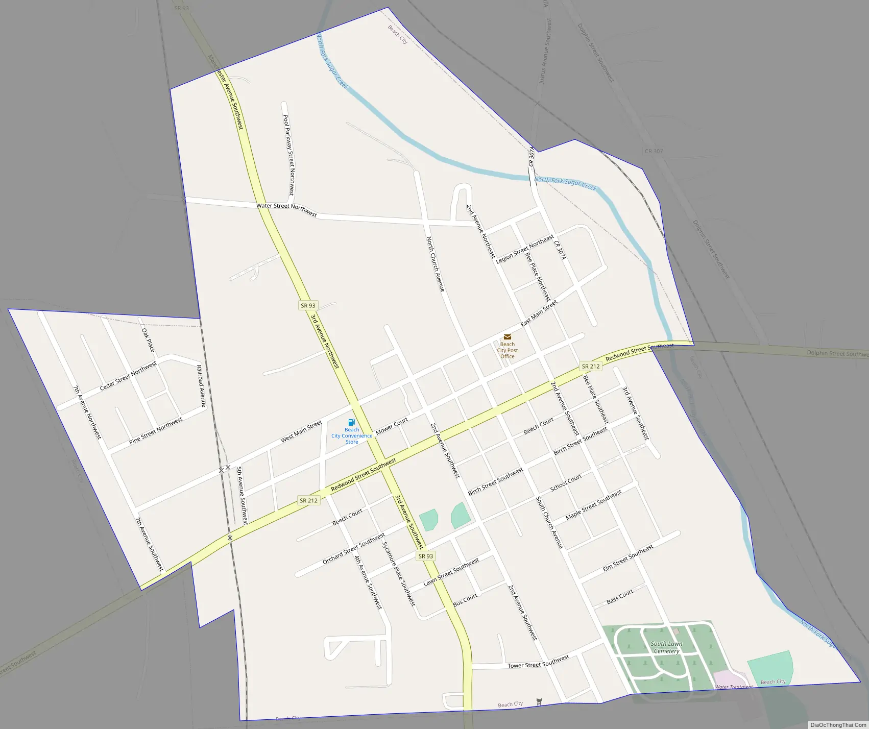
Beach City Road Map
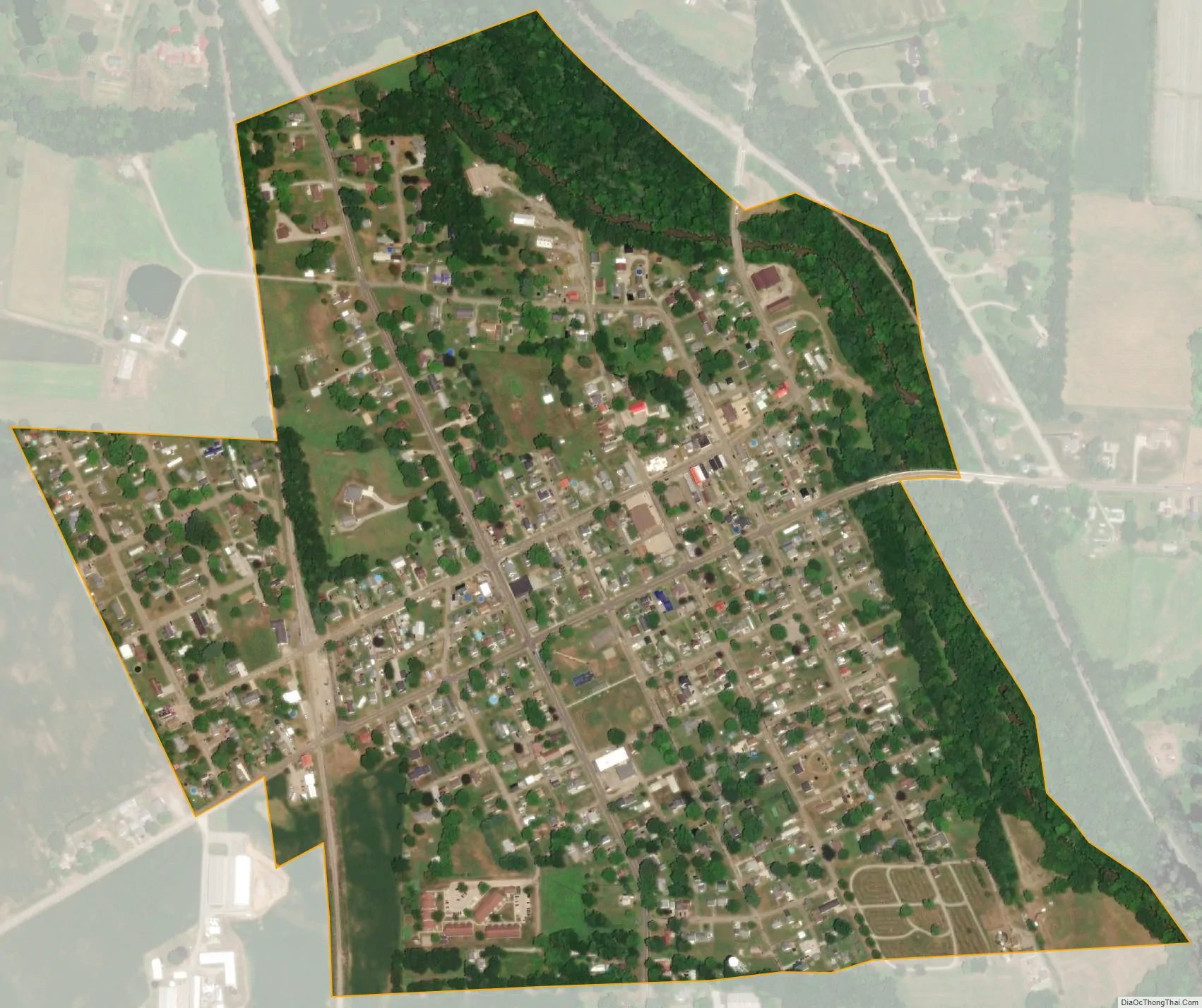
Beach City city Satellite Map
Geography
Beach City is located at 40°39′10″N 81°34′48″W / 40.65278°N 81.58000°W / 40.65278; -81.58000 (40.652723, -81.579965), along Sugar Creek.
According to the United States Census Bureau, the village has a total area of 0.46 square miles (1.19 km), all land.
See also
Map of Ohio State and its subdivision:- Adams
- Allen
- Ashland
- Ashtabula
- Athens
- Auglaize
- Belmont
- Brown
- Butler
- Carroll
- Champaign
- Clark
- Clermont
- Clinton
- Columbiana
- Coshocton
- Crawford
- Cuyahoga
- Darke
- Defiance
- Delaware
- Erie
- Fairfield
- Fayette
- Franklin
- Fulton
- Gallia
- Geauga
- Greene
- Guernsey
- Hamilton
- Hancock
- Hardin
- Harrison
- Henry
- Highland
- Hocking
- Holmes
- Huron
- Jackson
- Jefferson
- Knox
- Lake
- Lake Erie
- Lawrence
- Licking
- Logan
- Lorain
- Lucas
- Madison
- Mahoning
- Marion
- Medina
- Meigs
- Mercer
- Miami
- Monroe
- Montgomery
- Morgan
- Morrow
- Muskingum
- Noble
- Ottawa
- Paulding
- Perry
- Pickaway
- Pike
- Portage
- Preble
- Putnam
- Richland
- Ross
- Sandusky
- Scioto
- Seneca
- Shelby
- Stark
- Summit
- Trumbull
- Tuscarawas
- Union
- Van Wert
- Vinton
- Warren
- Washington
- Wayne
- Williams
- Wood
- Wyandot
- Alabama
- Alaska
- Arizona
- Arkansas
- California
- Colorado
- Connecticut
- Delaware
- District of Columbia
- Florida
- Georgia
- Hawaii
- Idaho
- Illinois
- Indiana
- Iowa
- Kansas
- Kentucky
- Louisiana
- Maine
- Maryland
- Massachusetts
- Michigan
- Minnesota
- Mississippi
- Missouri
- Montana
- Nebraska
- Nevada
- New Hampshire
- New Jersey
- New Mexico
- New York
- North Carolina
- North Dakota
- Ohio
- Oklahoma
- Oregon
- Pennsylvania
- Rhode Island
- South Carolina
- South Dakota
- Tennessee
- Texas
- Utah
- Vermont
- Virginia
- Washington
- West Virginia
- Wisconsin
- Wyoming