Beachwood is a city in eastern Cuyahoga County, Ohio, United States, and a suburb of Cleveland. As of the 2020 census the city’s population was 14,040.
| Name: | Beachwood city |
|---|---|
| LSAD Code: | 25 |
| LSAD Description: | city (suffix) |
| State: | Ohio |
| County: | Cuyahoga County |
| Elevation: | 1,184 ft (361 m) |
| Total Area: | 5.27 sq mi (13.65 km²) |
| Land Area: | 5.26 sq mi (13.63 km²) |
| Water Area: | 0.01 sq mi (0.02 km²) |
| Total Population: | 14,040 |
| Population Density: | 2,667.17/sq mi (1,029.84/km²) |
| ZIP code: | 44122 |
| Area code: | 216 |
| FIPS code: | 3904500 |
| GNISfeature ID: | 1048493 |
| Website: | www.beachwoodohio.com |
Online Interactive Map
Click on ![]() to view map in "full screen" mode.
to view map in "full screen" mode.
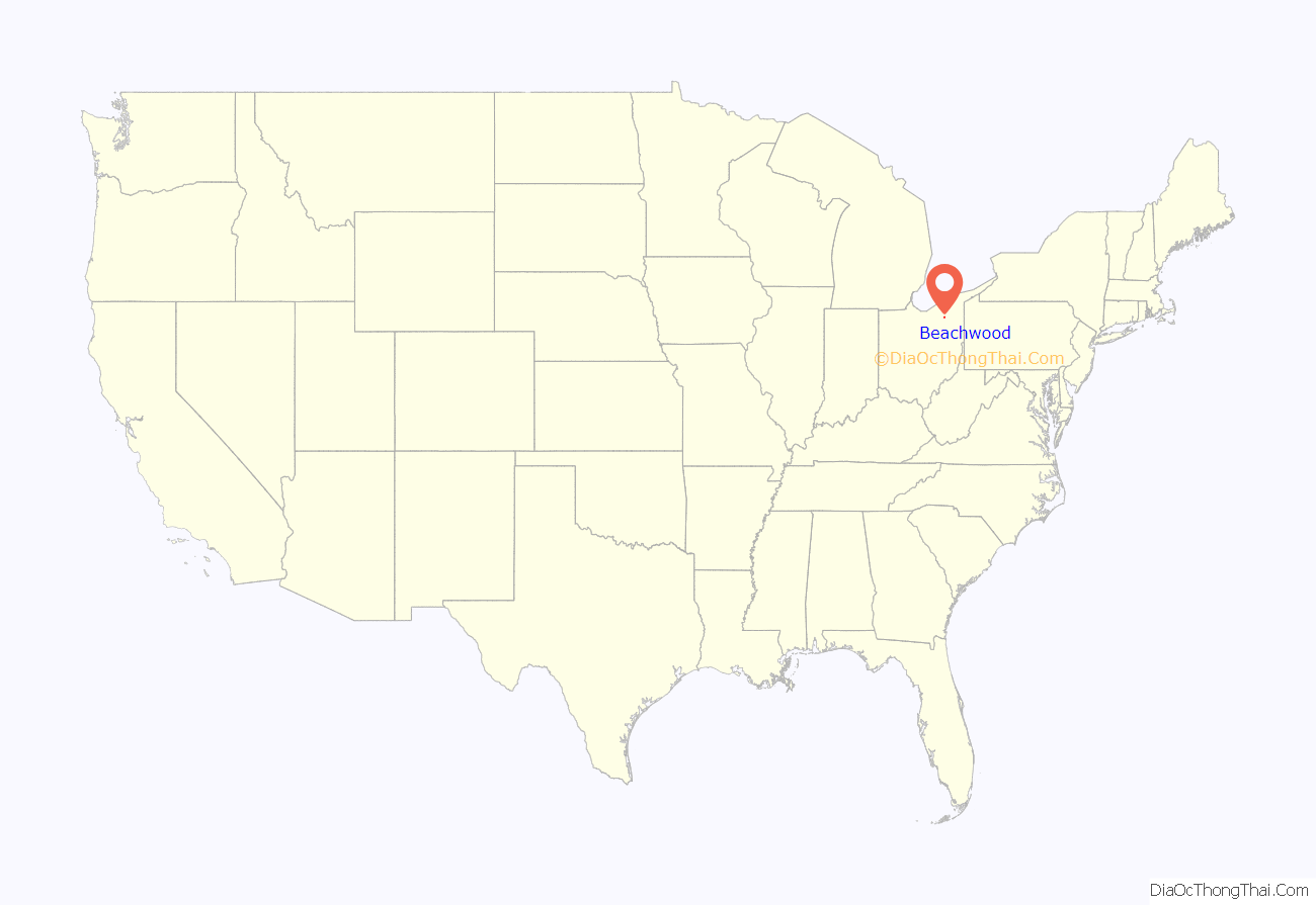
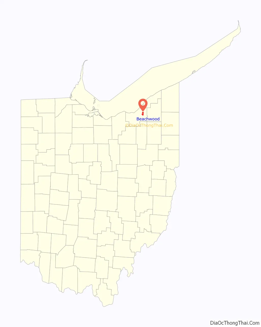
Beachwood location map. Where is Beachwood city?
History
The land that eventually became Beachwood was originally part of the Connecticut Western Reserve. Before becoming an independent municipality, Beachwood was part of Warrensville Township. In 1915, it seceded from Warrensville after the Township voted to close a nearby area school. A petition was organized, and on June 26, 1915, Beachwood was incorporated into an independent village. In 1960, Beachwood had reached the number of residents to attain city status under the Ohio Revised Code.
Beachwood was named for the numerous Beech trees that grew throughout the village. The origin of the spelling of the city is disputed. Upon incorporation, the city’s name was originally spelled, “Beechwood”. One popular theory is that an early village hall clerk misspelled the name on some official documents, giving rise to the current spelling.
In 1948, a village wide debate was sparked after the proposal of the construction of the Anshe Chesed Fairmount Temple following the purchase of 32 acres of land on which the temple currently stands. The debate started due to the growing trend of families moving to the suburbs due to the booming post WWII economy. Considering that Beachwood at the time was a small community with few Jews, the sudden proposal of the large synagogue of 1,800 families sparked anti-Semitic worries among the village’s community due to the imminent demographics change that the establishment of a large synagogue would bring. The village council, no member of which was Jewish, cited in 1952 that the establishment of Anshe Chesed “would be detrimental to the public safety, welfare, and convenience of the village”. One morning in May 1952, following Anshe Chesed’s threat to sue the village of Beachwood, residents opened their mailboxes and found a white supremacist newspaper called The Plain Truth, with the message:
Zoning arguments between the village and the congregation regarding the temple’s construction led to the Ohio Supreme Court ruling in 1954 that the synagogue must be allowed to be built, as well as issuing state building permits to the congregation. The temple’s construction was finished in 1957.
Since the late 1950s, multiple other synagogues relocated to Beachwood, establishing the Jewish influence on the growth of the community.
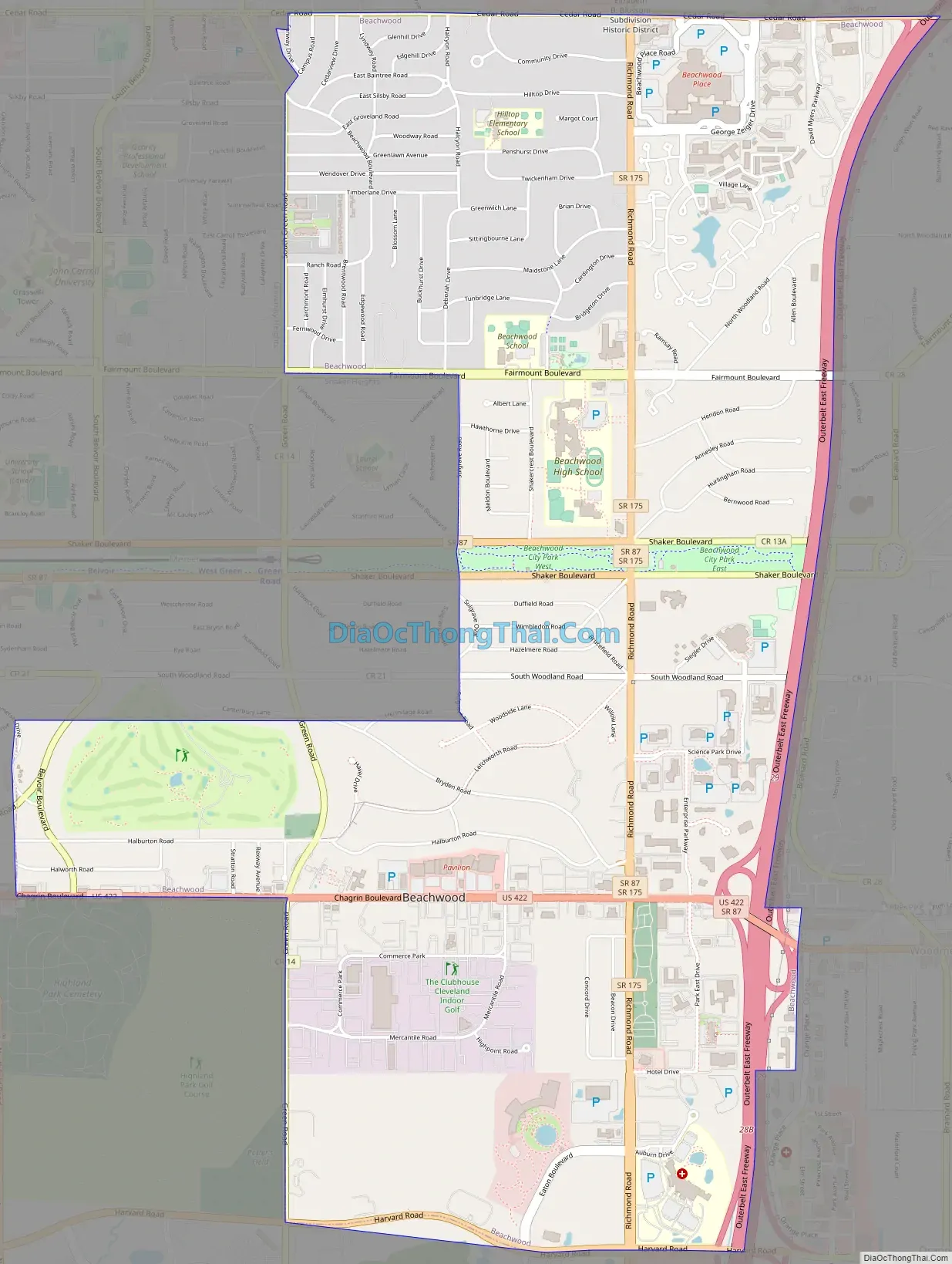
Beachwood Road Map
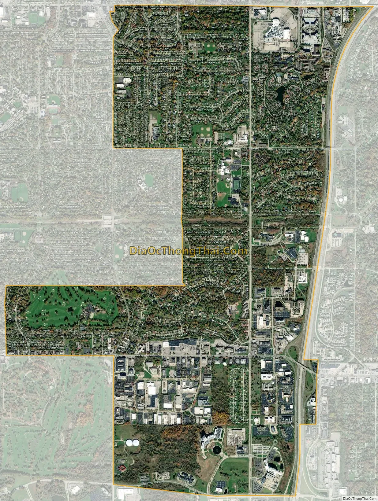
Beachwood city Satellite Map
Geography
Beachwood is located at 41°28′56″N 81°30′14″W / 41.48222°N 81.50389°W / 41.48222; -81.50389 (41.482226, −81.504001).
According to the United States Census Bureau, the city has a total area of 5.34 square miles (13.83 km), of which 5.33 square miles (13.80 km) is land and 0.01 square miles (0.03 km) is water.
See also
Map of Ohio State and its subdivision:- Adams
- Allen
- Ashland
- Ashtabula
- Athens
- Auglaize
- Belmont
- Brown
- Butler
- Carroll
- Champaign
- Clark
- Clermont
- Clinton
- Columbiana
- Coshocton
- Crawford
- Cuyahoga
- Darke
- Defiance
- Delaware
- Erie
- Fairfield
- Fayette
- Franklin
- Fulton
- Gallia
- Geauga
- Greene
- Guernsey
- Hamilton
- Hancock
- Hardin
- Harrison
- Henry
- Highland
- Hocking
- Holmes
- Huron
- Jackson
- Jefferson
- Knox
- Lake
- Lake Erie
- Lawrence
- Licking
- Logan
- Lorain
- Lucas
- Madison
- Mahoning
- Marion
- Medina
- Meigs
- Mercer
- Miami
- Monroe
- Montgomery
- Morgan
- Morrow
- Muskingum
- Noble
- Ottawa
- Paulding
- Perry
- Pickaway
- Pike
- Portage
- Preble
- Putnam
- Richland
- Ross
- Sandusky
- Scioto
- Seneca
- Shelby
- Stark
- Summit
- Trumbull
- Tuscarawas
- Union
- Van Wert
- Vinton
- Warren
- Washington
- Wayne
- Williams
- Wood
- Wyandot
- Alabama
- Alaska
- Arizona
- Arkansas
- California
- Colorado
- Connecticut
- Delaware
- District of Columbia
- Florida
- Georgia
- Hawaii
- Idaho
- Illinois
- Indiana
- Iowa
- Kansas
- Kentucky
- Louisiana
- Maine
- Maryland
- Massachusetts
- Michigan
- Minnesota
- Mississippi
- Missouri
- Montana
- Nebraska
- Nevada
- New Hampshire
- New Jersey
- New Mexico
- New York
- North Carolina
- North Dakota
- Ohio
- Oklahoma
- Oregon
- Pennsylvania
- Rhode Island
- South Carolina
- South Dakota
- Tennessee
- Texas
- Utah
- Vermont
- Virginia
- Washington
- West Virginia
- Wisconsin
- Wyoming


