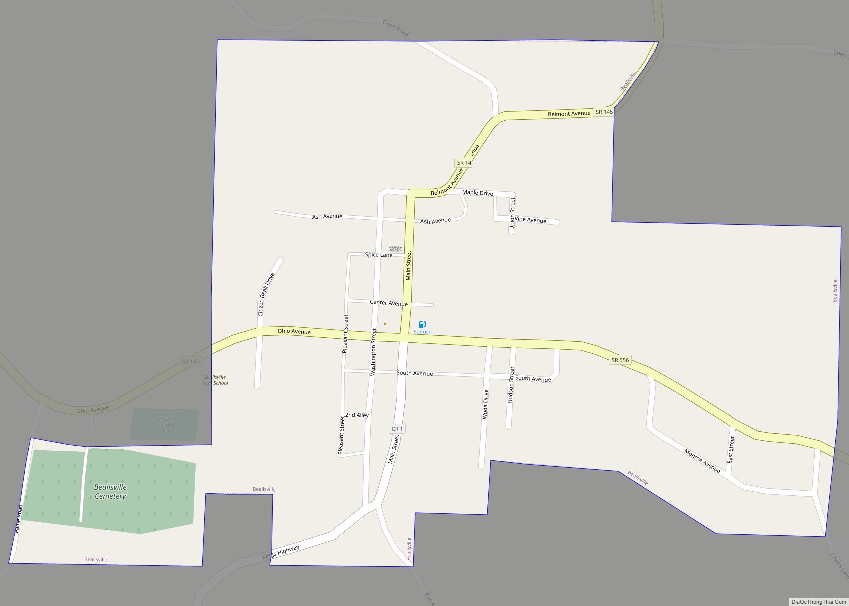
Beallsville (/ˈbɛlzvɪl/ BELLZ-vil) is a village in Monroe County, Ohio, United States. As of the 2020 census, the population was 355. The village gained national attention by losing more than 1% of its population killed in action in the Vietnam War, the worst per-capita loss of life experienced by any place in the country.
Two former coal mines owned by Murray Energy, Powhatan No. 6 mine and Century Mine, are located near Beallsville.
| Name: | Beallsville village |
|---|---|
| LSAD Code: | 47 |
| LSAD Description: | village (suffix) |
| State: | Ohio |
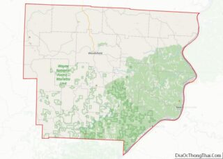
| County: | Monroe County |
| Elevation: | 1,257 ft (383 m) |
| Total Area: | 0.36 sq mi (0.94 km²) |
| Land Area: | 0.36 sq mi (0.94 km²) |
| Water Area: | 0.00 sq mi (0.00 km²) |
| Total Population: | 355 |
| Population Density: | 977.96/sq mi (377.77/km²) |
| ZIP code: | 43716 |
| Area code: | 740 |
| FIPS code: | 3904542 |
| GNISfeature ID: | 1075319 |
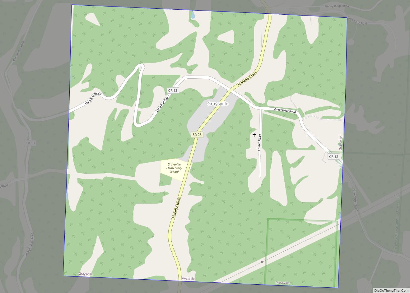
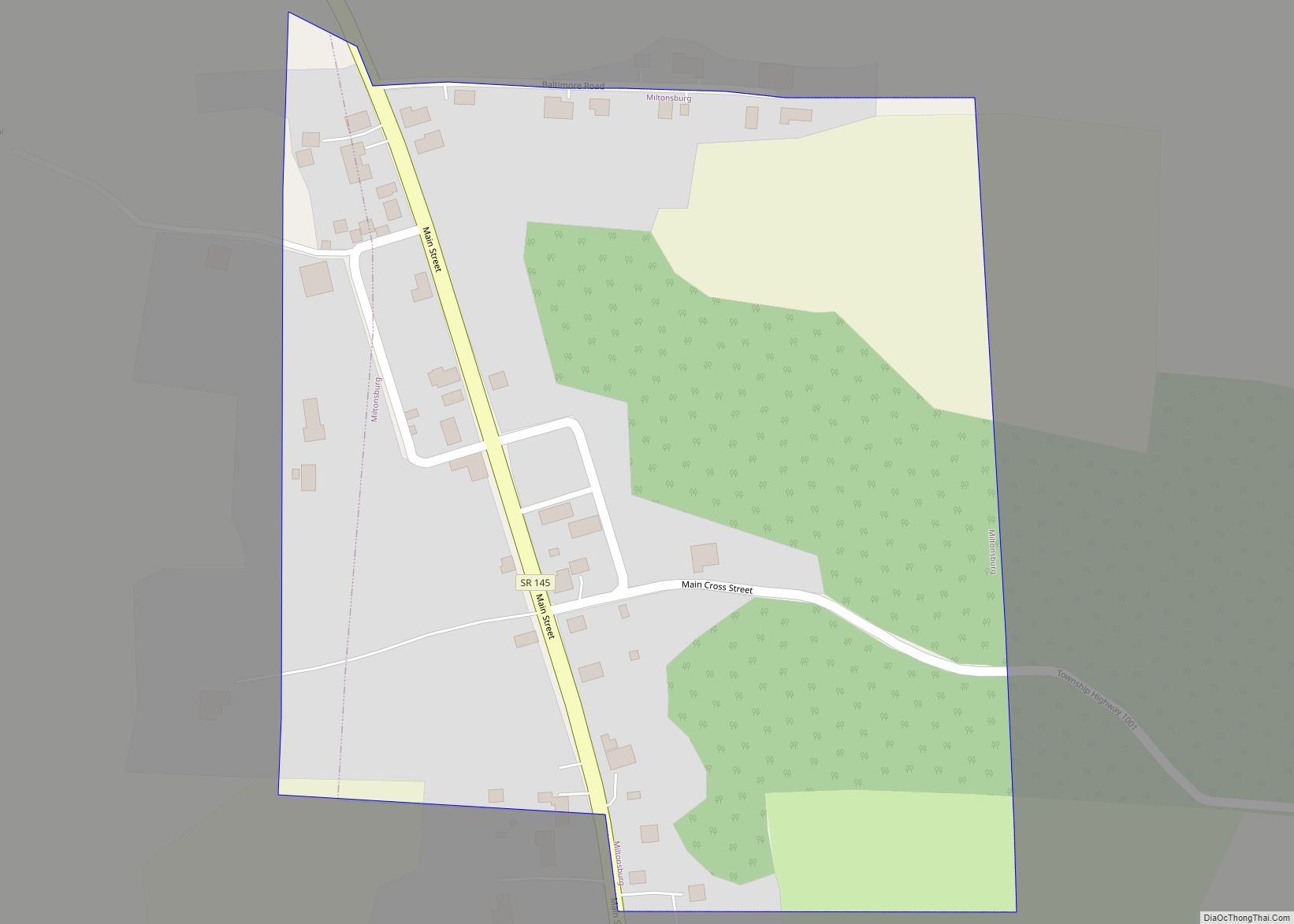
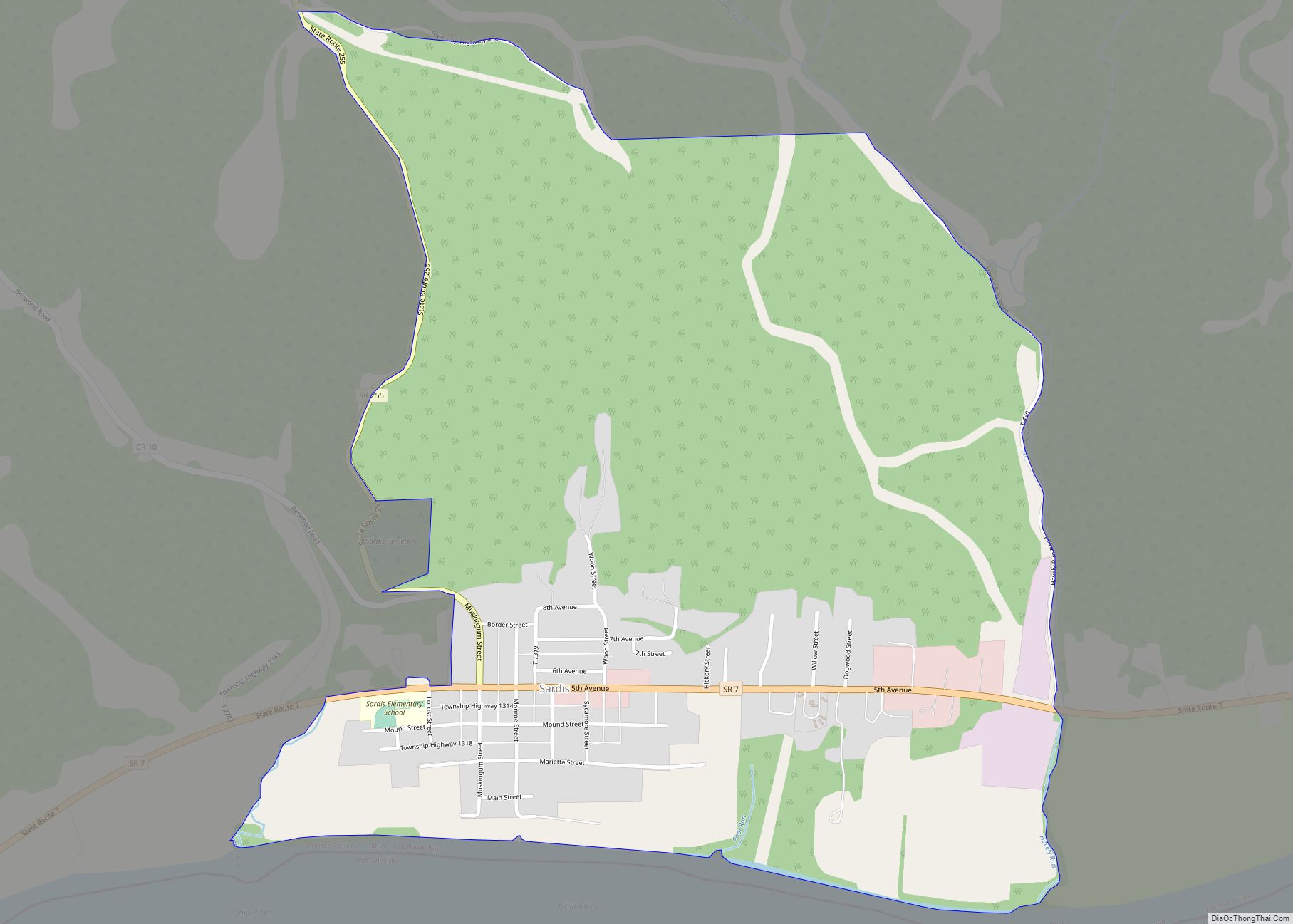
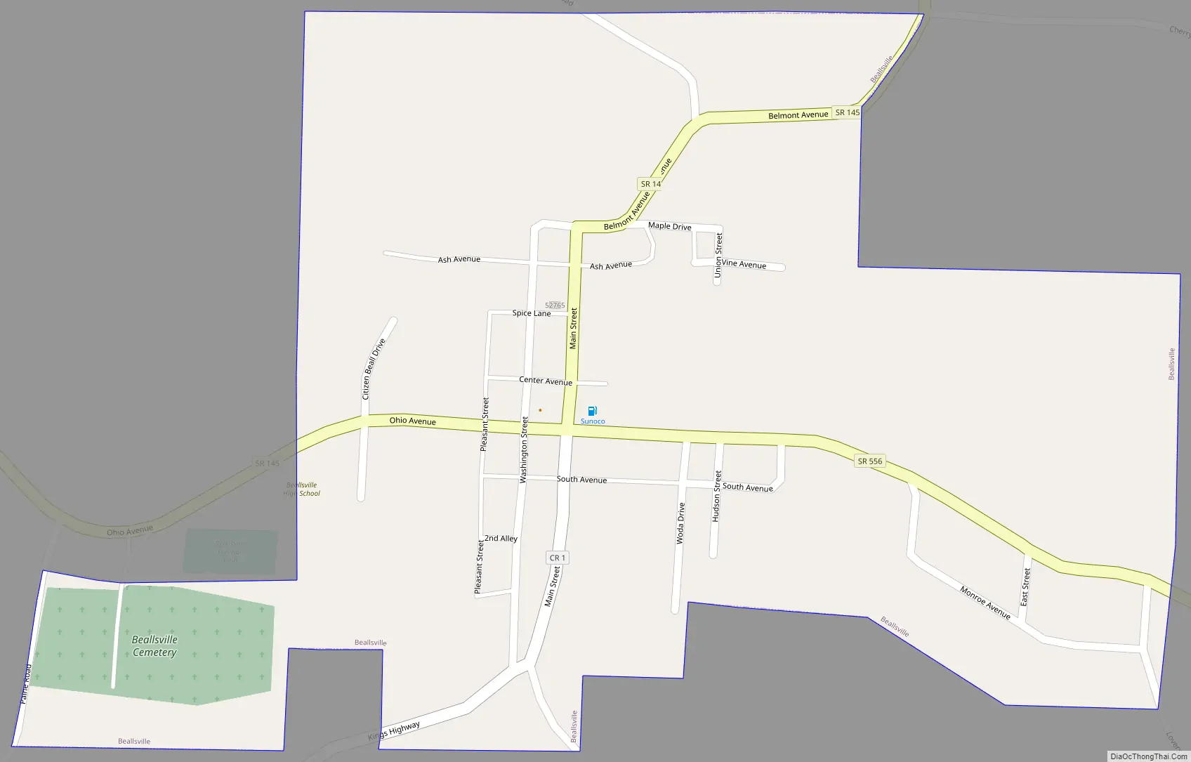
Online Interactive Map
Click on ![]() to view map in "full screen" mode.
to view map in "full screen" mode.
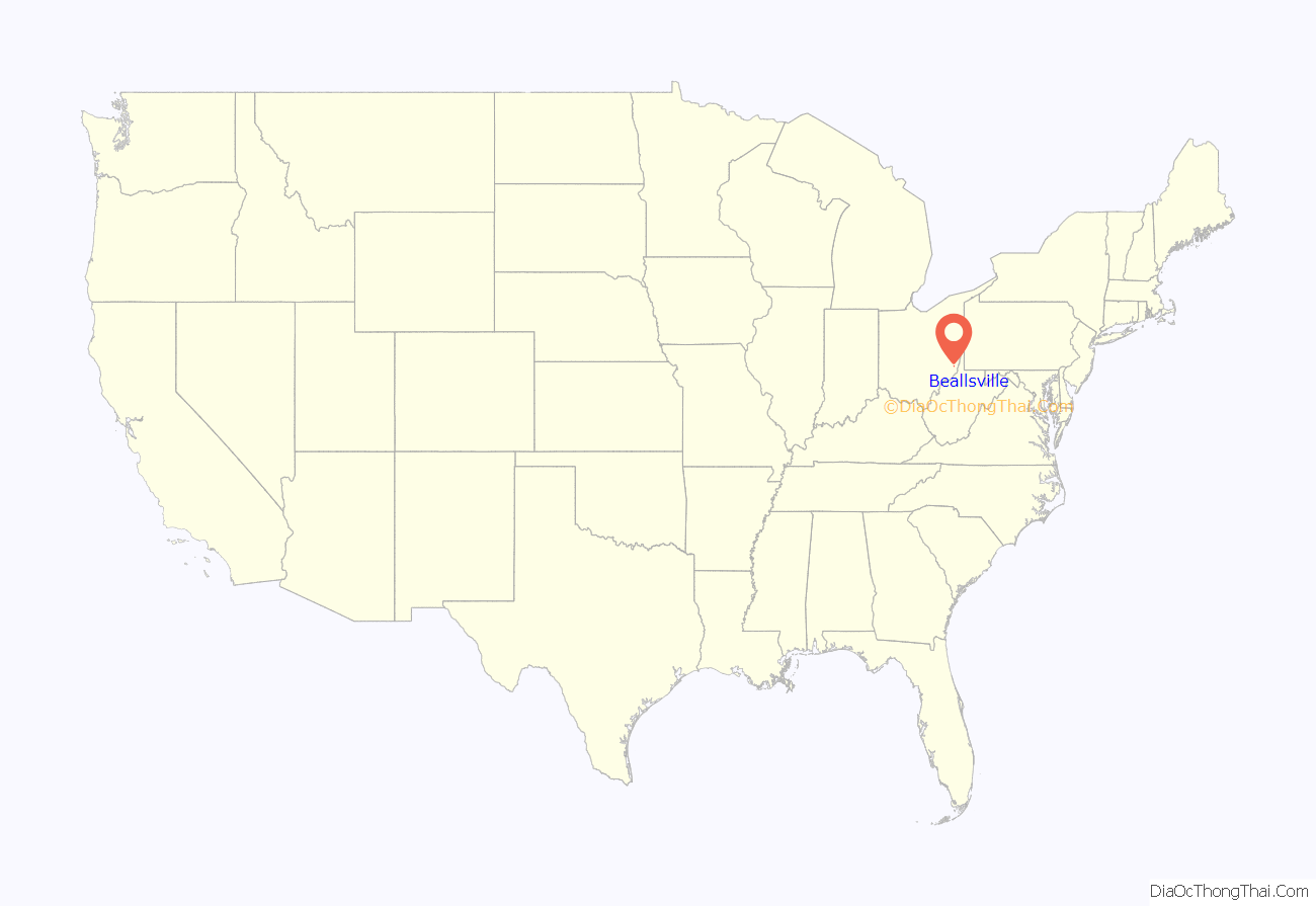
Beallsville location map. Where is Beallsville village?
History
During the period of active American participation in the Vietnam War in the 1960s, Beallsville gained brief notoriety for the loss of five of its citizens in the conflict — a traumatic rate of loss for the village of fewer than 500 residents that was estimated at 75 times the national average. The plight of the community drew wire service coverage and was the subject of a lengthy illustrated spread in the glossy left-wing magazine Ramparts. Moved by the magnitude of the loss, Congressman Clarence Miller made a formal request to Secretary of Defense Melvin Laird and President Richard Nixon to withdraw the village’s other six servicemen from combat, which was denied.
A sixth of the village’s sons fell in combat on March 9, 1969, cementing the community’s tragic distinction of having the highest percentage rate of loss in the Vietnam War of any town in America.
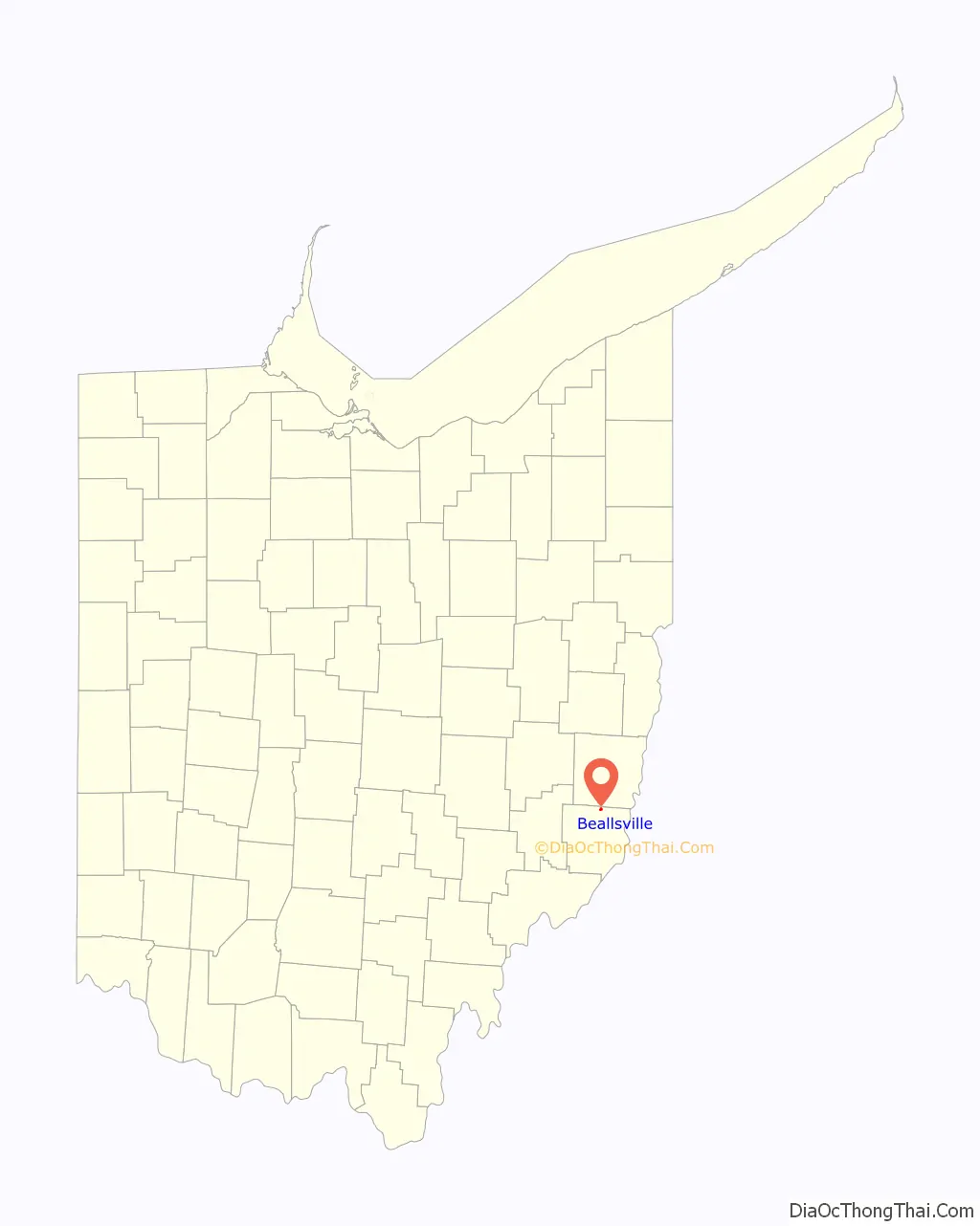
Beallsville Road Map
Beallsville city Satellite Map

Geography
Beallsville is located at 39°50′54″N 81°2′7″W / 39.84833°N 81.03528°W / 39.84833; -81.03528 (39.848402, -81.035174).
According to the United States Census Bureau, the village has a total area of 0.36 square miles (0.93 km), all of it land.
See also
Map of Ohio State and its subdivision:- Adams
- Allen
- Ashland
- Ashtabula
- Athens
- Auglaize
- Belmont
- Brown
- Butler
- Carroll
- Champaign
- Clark
- Clermont
- Clinton
- Columbiana
- Coshocton
- Crawford
- Cuyahoga
- Darke
- Defiance
- Delaware
- Erie
- Fairfield
- Fayette
- Franklin
- Fulton
- Gallia
- Geauga
- Greene
- Guernsey
- Hamilton
- Hancock
- Hardin
- Harrison
- Henry
- Highland
- Hocking
- Holmes
- Huron
- Jackson
- Jefferson
- Knox
- Lake
- Lake Erie
- Lawrence
- Licking
- Logan
- Lorain
- Lucas
- Madison
- Mahoning
- Marion
- Medina
- Meigs
- Mercer
- Miami
- Monroe
- Montgomery
- Morgan
- Morrow
- Muskingum
- Noble
- Ottawa
- Paulding
- Perry
- Pickaway
- Pike
- Portage
- Preble
- Putnam
- Richland
- Ross
- Sandusky
- Scioto
- Seneca
- Shelby
- Stark
- Summit
- Trumbull
- Tuscarawas
- Union
- Van Wert
- Vinton
- Warren
- Washington
- Wayne
- Williams
- Wood
- Wyandot
- Alabama
- Alaska
- Arizona
- Arkansas
- California
- Colorado
- Connecticut
- Delaware
- District of Columbia
- Florida
- Georgia
- Hawaii
- Idaho
- Illinois
- Indiana
- Iowa
- Kansas
- Kentucky
- Louisiana
- Maine
- Maryland
- Massachusetts
- Michigan
- Minnesota
- Mississippi
- Missouri
- Montana
- Nebraska
- Nevada
- New Hampshire
- New Jersey
- New Mexico
- New York
- North Carolina
- North Dakota
- Ohio
- Oklahoma
- Oregon
- Pennsylvania
- Rhode Island
- South Carolina
- South Dakota
- Tennessee
- Texas
- Utah
- Vermont
- Virginia
- Washington
- West Virginia
- Wisconsin
- Wyoming