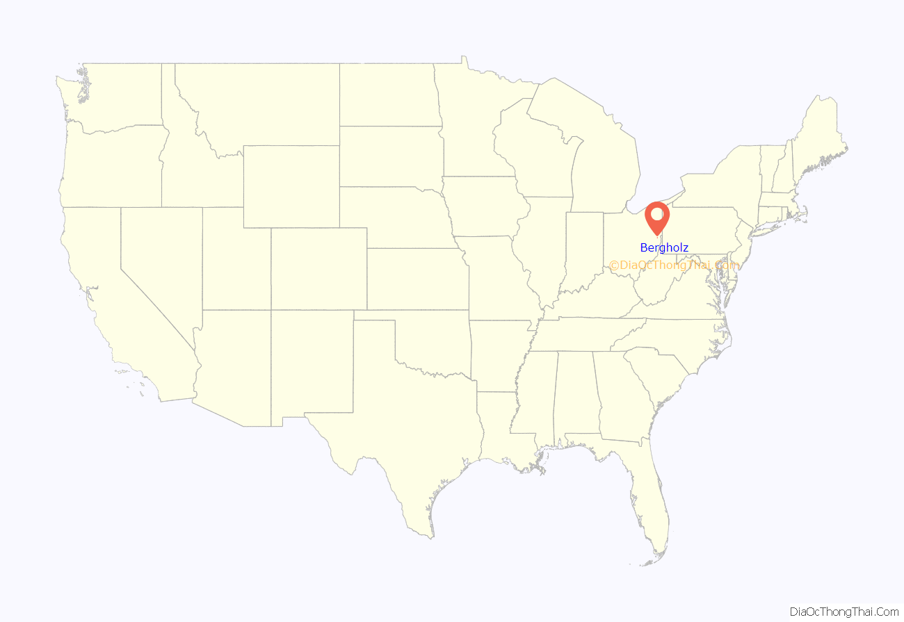
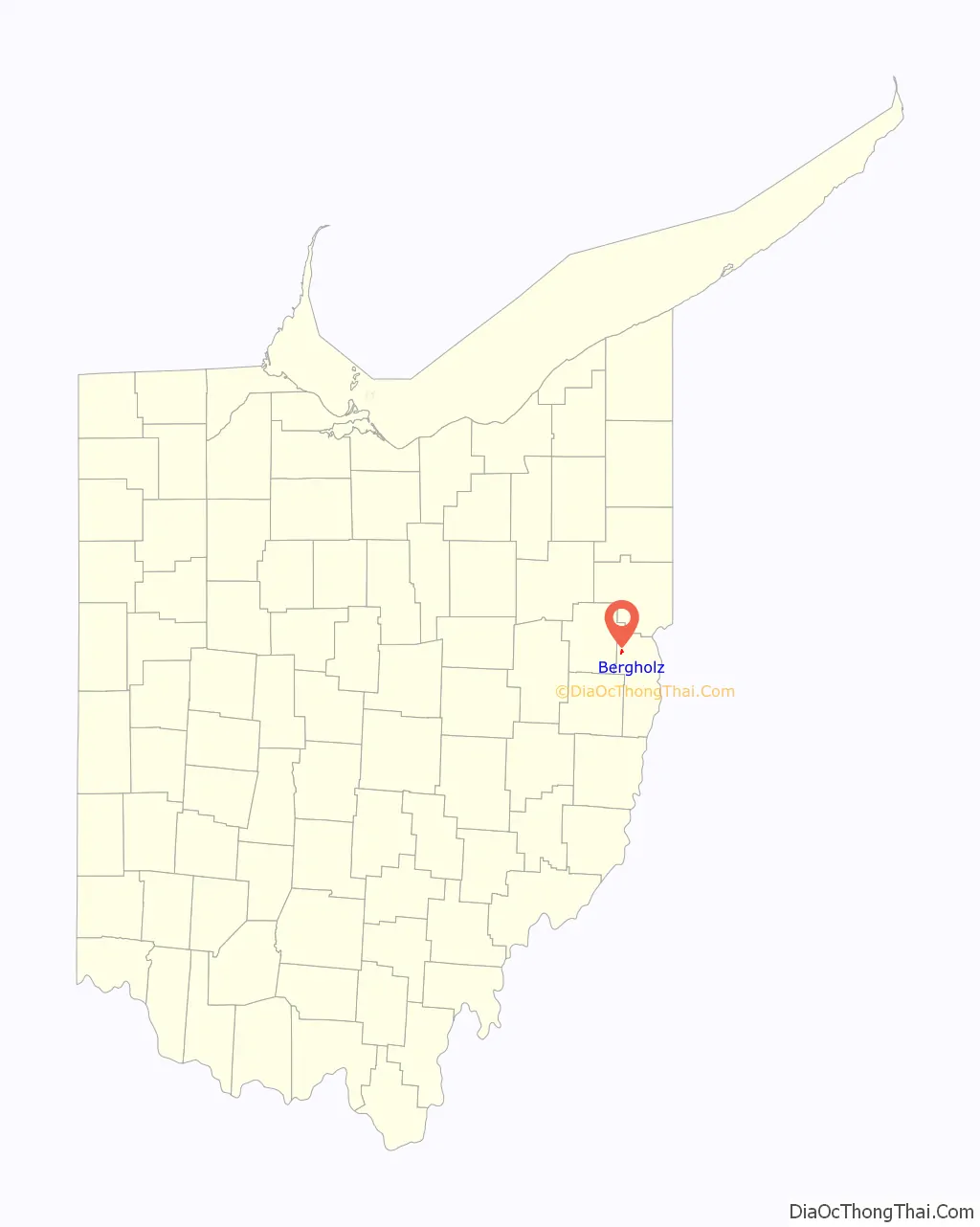
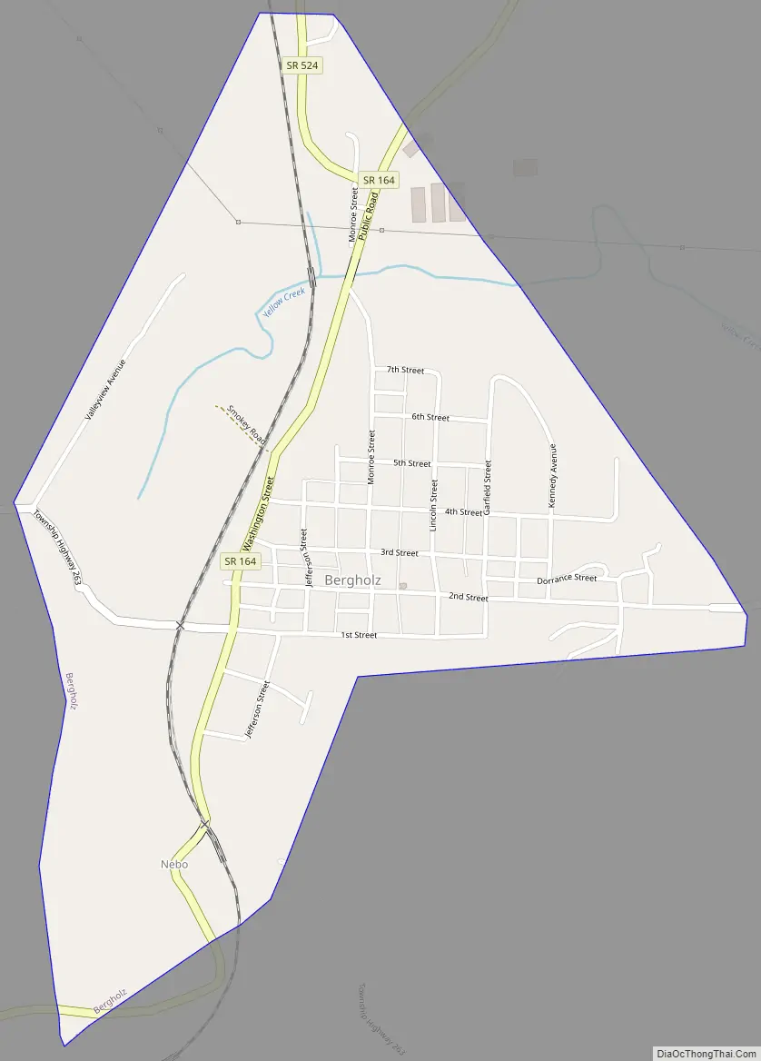
Bergholz (/ˈbɜːrɡhoʊlz/) is a village in northwestern Jefferson County, Ohio, United States. The population was 544 at the 2020 census. The village’s name is German and translates to “mountain timber”. It is part of the Weirton–Steubenville metropolitan area.
| Name: | Bergholz village |
|---|---|
| LSAD Code: | 47 |
| LSAD Description: | village (suffix) |
| State: | Ohio |
| County: | Jefferson County |
| Elevation: | 925 ft (282 m) |
| Total Area: | 0.56 sq mi (1.46 km²) |
| Land Area: | 0.56 sq mi (1.46 km²) |
| Water Area: | 0.00 sq mi (0.00 km²) |
| Total Population: | 544 |
| Population Density: | 966.25/sq mi (372.77/km²) |
| ZIP code: | 43908 |
| Area code: | 740 |
| FIPS code: | 3905718 |
| GNISfeature ID: | 1064416 |
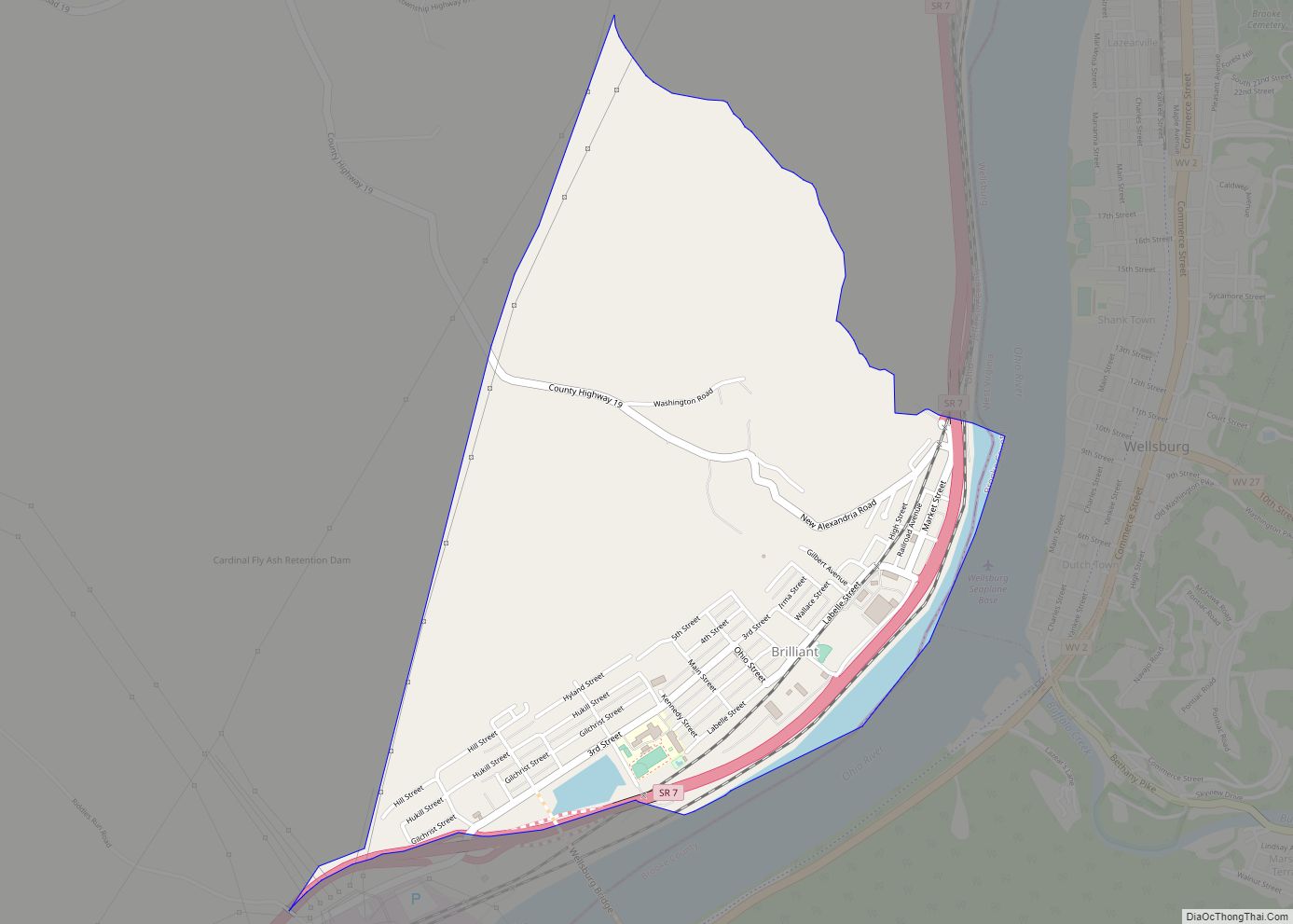
Online Interactive Map
Click on ![]() to view map in "full screen" mode.
to view map in "full screen" mode.
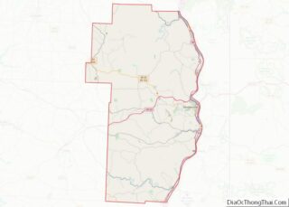
Bergholz location map. Where is Bergholz village?
History
Initially, the Bergholz area was a settlement called Nebo. Modern Bergholz had its start in 1883 when the railroad was built through that territory in order to access a mine. The settlement was named Bergholz in honor of one of the mine owners. It was incorporated as a village in 1906.
During Morgan’s Raid, a Union victory in the Civil War in 1863, Confederate Brigadier General John Hunt Morgan traveled through the Bergholz area on his way to defeat at the Battle of Salineville.
Amish beard cutting scandal
In September 2012, a group of 16 Amish men and women from the Bergholz Community, were convicted on federal hate-crime and conspiracy charges after five hair- and beard-cutting incidents. Samuel Mullet Sr., who did not participate in the five hair- and beard-cutting attacks, was tried as the leader of the campaign. Initially Samuel Mullet Sr. was sentenced to 15 years in prison on February 8, 2013, with fifteen others receiving lighter sentences ranging from one year and one day to seven years; after these convictions were overturned in August 2014 by the United States Court of Appeals for the Sixth Circuit, these sentences were reduced in March 2015.
Due to the cloistered nature of Amish lifestyle, they are often reluctant to bring complaints to local police who describe the attacks as “very rare”.
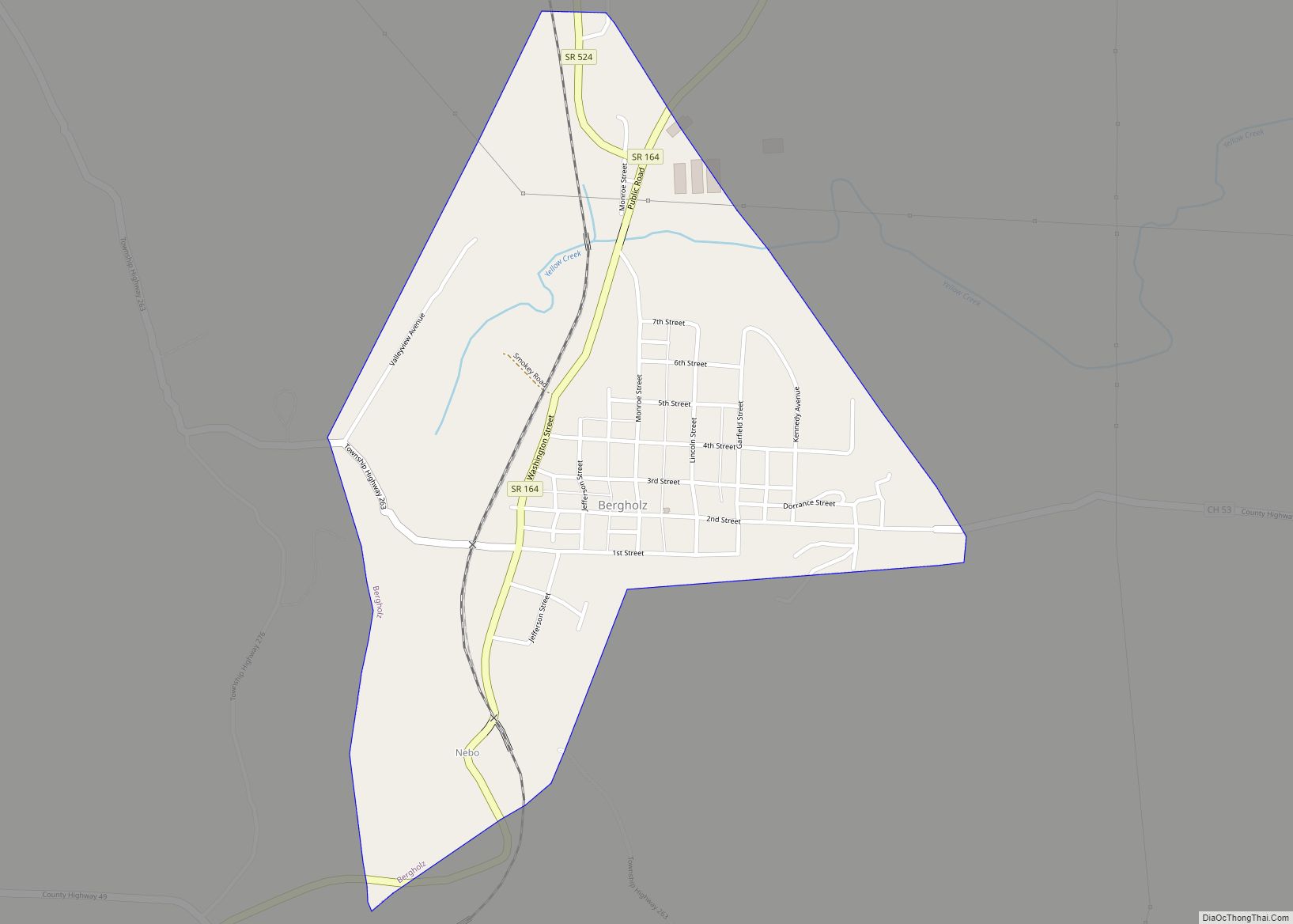
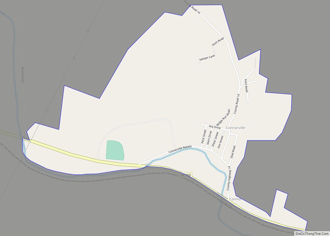
Bergholz Road Map
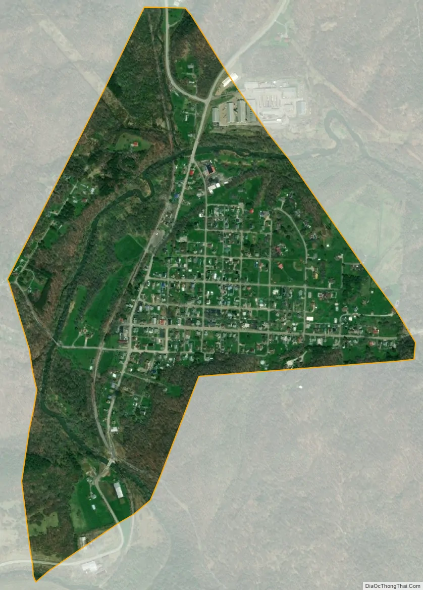
Bergholz city Satellite Map
Geography
Bergholz is located at 40°31′14″N 80°53′2″W / 40.52056°N 80.88389°W / 40.52056; -80.88389 (40.520509, -80.883815).
According to the United States Census Bureau, the village has a total area of 0.56 square miles (1.45 km), all land.
See also
Map of Ohio State and its subdivision:- Adams
- Allen
- Ashland
- Ashtabula
- Athens
- Auglaize
- Belmont
- Brown
- Butler
- Carroll
- Champaign
- Clark
- Clermont
- Clinton
- Columbiana
- Coshocton
- Crawford
- Cuyahoga
- Darke
- Defiance
- Delaware
- Erie
- Fairfield
- Fayette
- Franklin
- Fulton
- Gallia
- Geauga
- Greene
- Guernsey
- Hamilton
- Hancock
- Hardin
- Harrison
- Henry
- Highland
- Hocking
- Holmes
- Huron
- Jackson
- Jefferson
- Knox
- Lake
- Lake Erie
- Lawrence
- Licking
- Logan
- Lorain
- Lucas
- Madison
- Mahoning
- Marion
- Medina
- Meigs
- Mercer
- Miami
- Monroe
- Montgomery
- Morgan
- Morrow
- Muskingum
- Noble
- Ottawa
- Paulding
- Perry
- Pickaway
- Pike
- Portage
- Preble
- Putnam
- Richland
- Ross
- Sandusky
- Scioto
- Seneca
- Shelby
- Stark
- Summit
- Trumbull
- Tuscarawas
- Union
- Van Wert
- Vinton
- Warren
- Washington
- Wayne
- Williams
- Wood
- Wyandot
- Alabama
- Alaska
- Arizona
- Arkansas
- California
- Colorado
- Connecticut
- Delaware
- District of Columbia
- Florida
- Georgia
- Hawaii
- Idaho
- Illinois
- Indiana
- Iowa
- Kansas
- Kentucky
- Louisiana
- Maine
- Maryland
- Massachusetts
- Michigan
- Minnesota
- Mississippi
- Missouri
- Montana
- Nebraska
- Nevada
- New Hampshire
- New Jersey
- New Mexico
- New York
- North Carolina
- North Dakota
- Ohio
- Oklahoma
- Oregon
- Pennsylvania
- Rhode Island
- South Carolina
- South Dakota
- Tennessee
- Texas
- Utah
- Vermont
- Virginia
- Washington
- West Virginia
- Wisconsin
- Wyoming