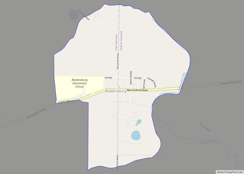
Bladensburg is a census-designated place (CDP) on the border between Clay and Jackson townships, Knox County, Ohio, United States. As of the 2010 census the CDP had a population of 191. It has a post office with the ZIP code 43005. It lies along State Route 541 east of Martinsburg.
| Name: | Bladensburg CDP |
|---|---|
| LSAD Code: | 57 |
| LSAD Description: | CDP (suffix) |
| State: | Ohio |
| County: | Knox County |
| Elevation: | 965 ft (294 m) |
| Total Area: | 0.33 sq mi (0.86 km²) |
| Land Area: | 0.33 sq mi (0.86 km²) |
| Water Area: | 0.00 sq mi (0.00 km²) |
| Total Population: | 180 |
| Population Density: | 545.45/sq mi (210.51/km²) |
| ZIP code: | 43005 |
| Area code: | 740 |
| FIPS code: | 3906740 |
| GNISfeature ID: | 2628866 |
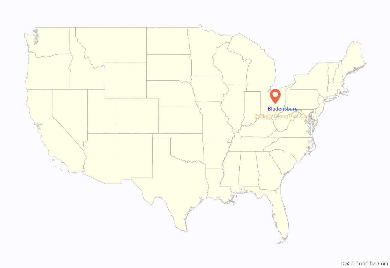
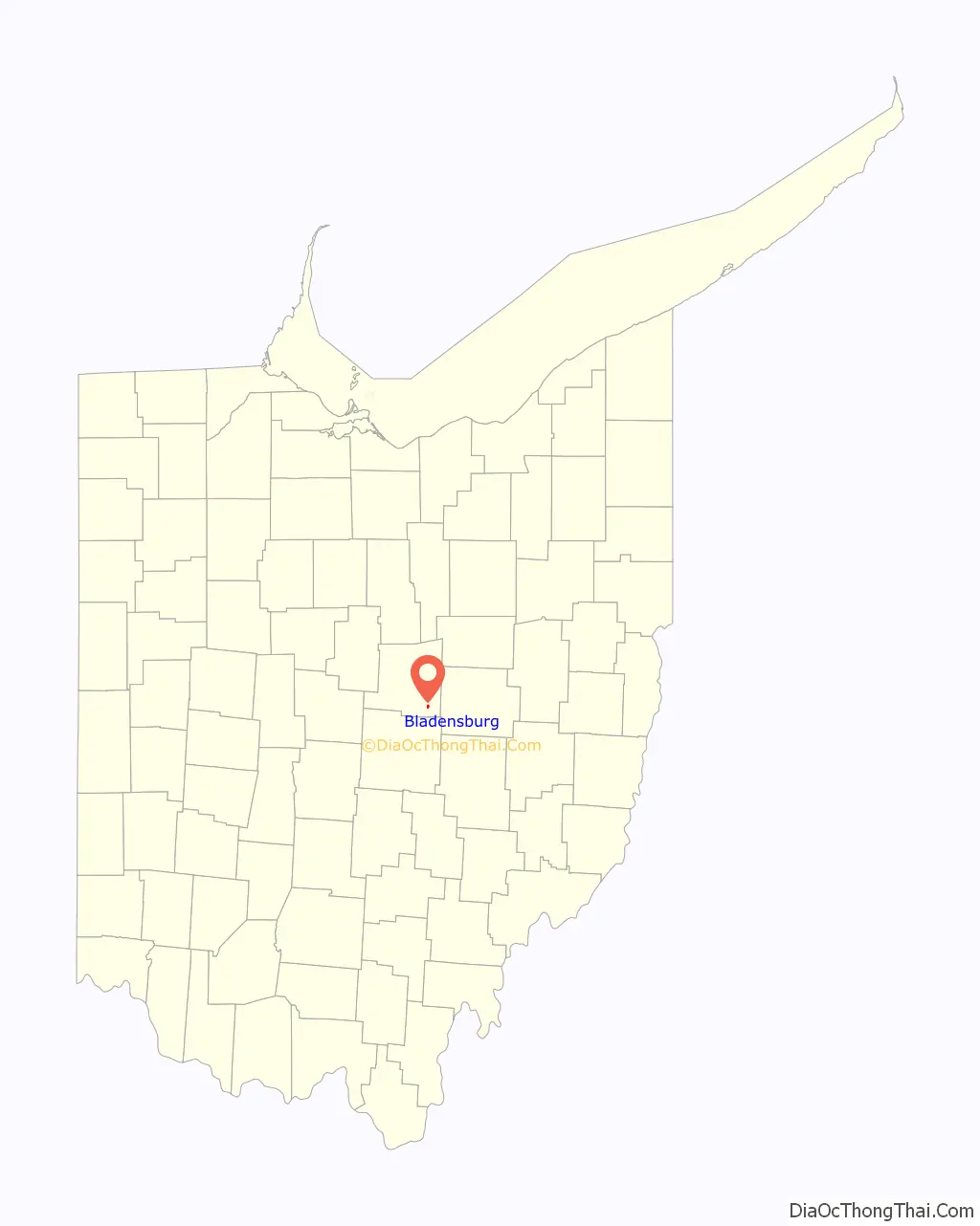
Online Interactive Map
Click on ![]() to view map in "full screen" mode.
to view map in "full screen" mode.
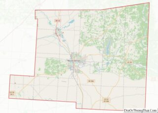
Bladensburg location map. Where is Bladensburg CDP?
History
Bladensburg was originally spelled “Bladensburgh”, and under the latter name was laid out in 1833. A post office has been in operation at Bladensburg(h) since 1834.
Bladensburg is the former home of East Knox Elementary School.
Bladensburg is also home to the Bladensburg Volunteer Fire Department, with 42 volunteer firefighters. It is the main station for the Bladensburg Joint Fire District.
Bladensburg is the home of a popular annual Christmas parade, which has been held since 1971.
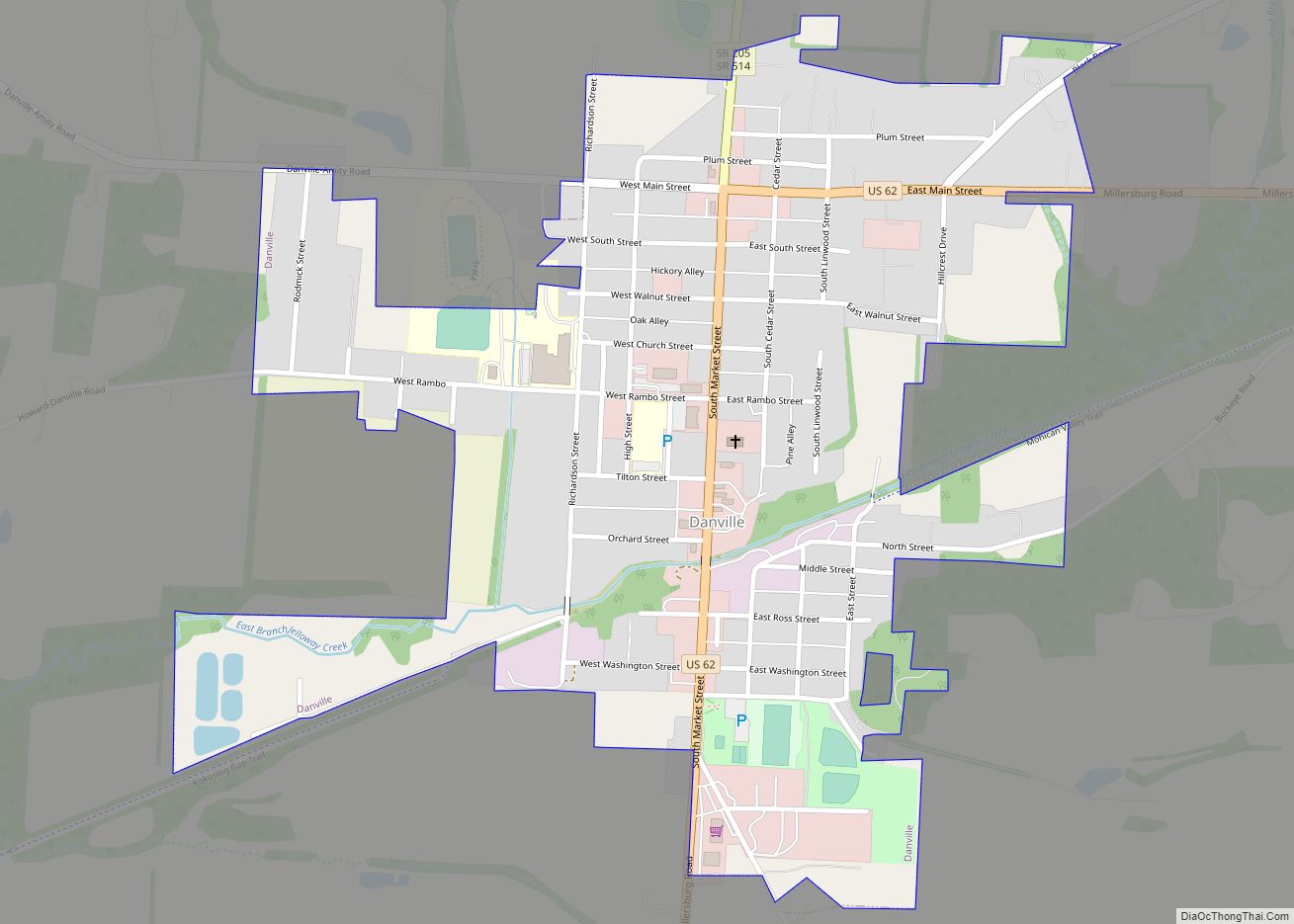
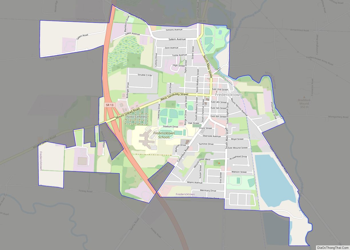
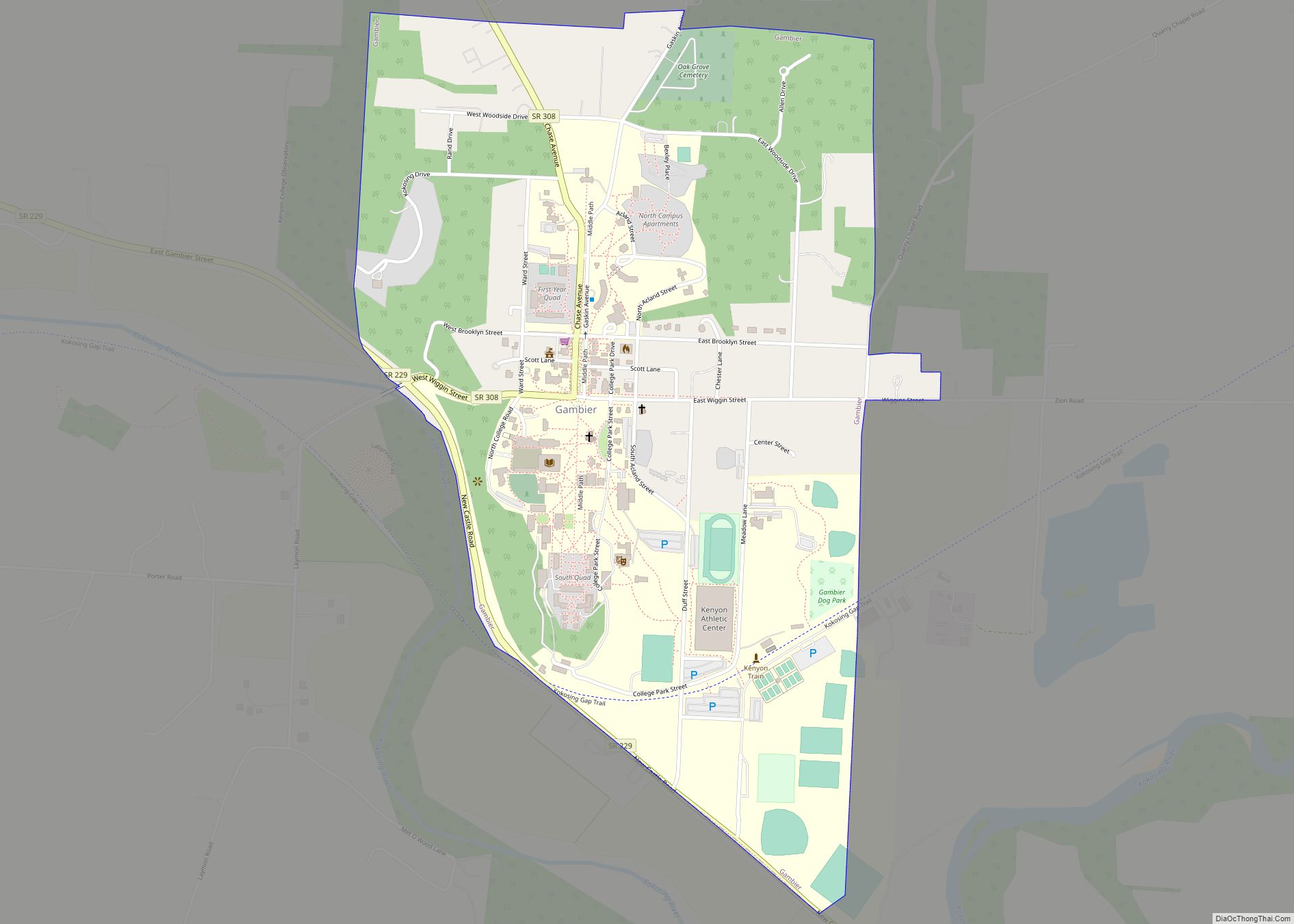
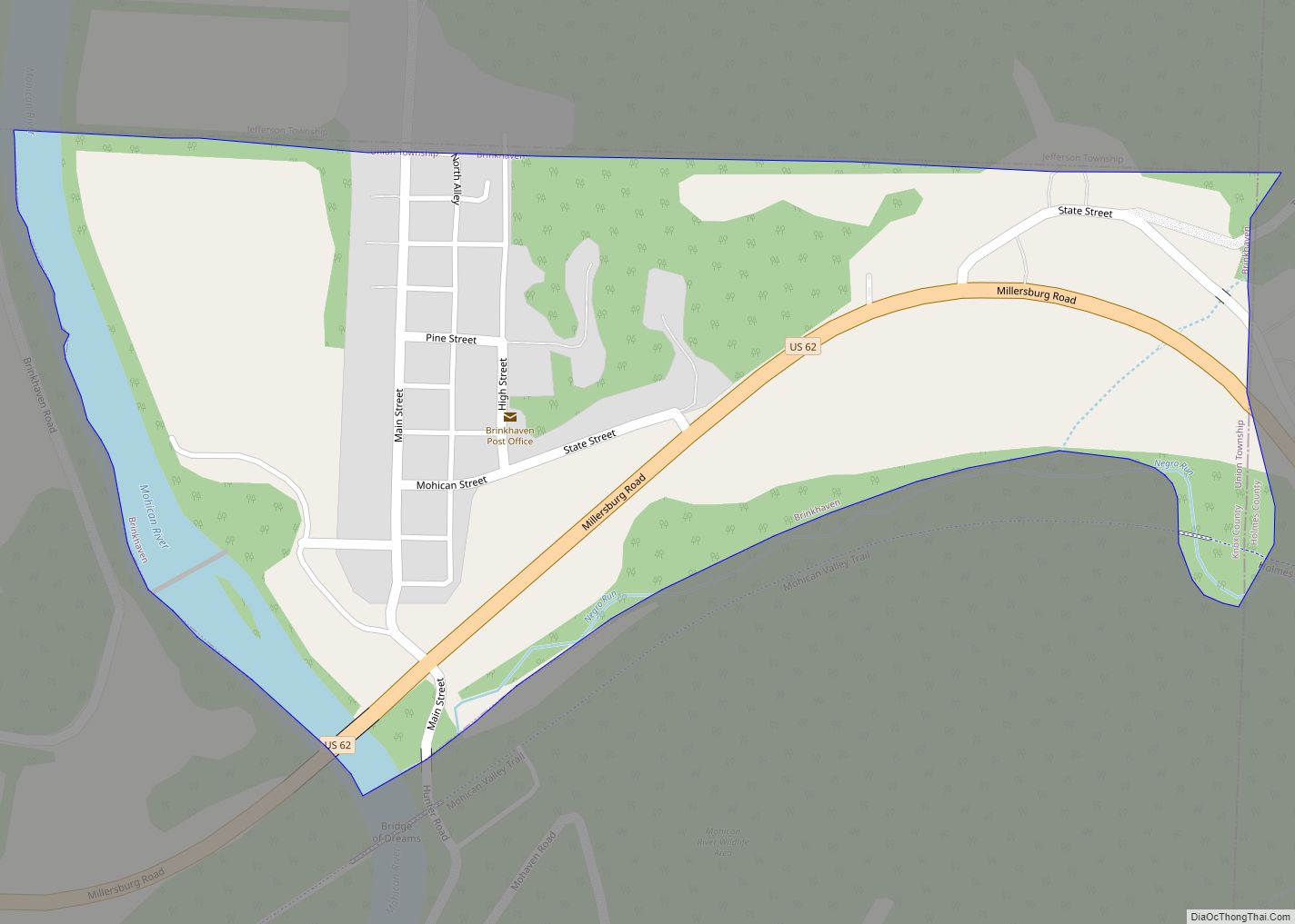
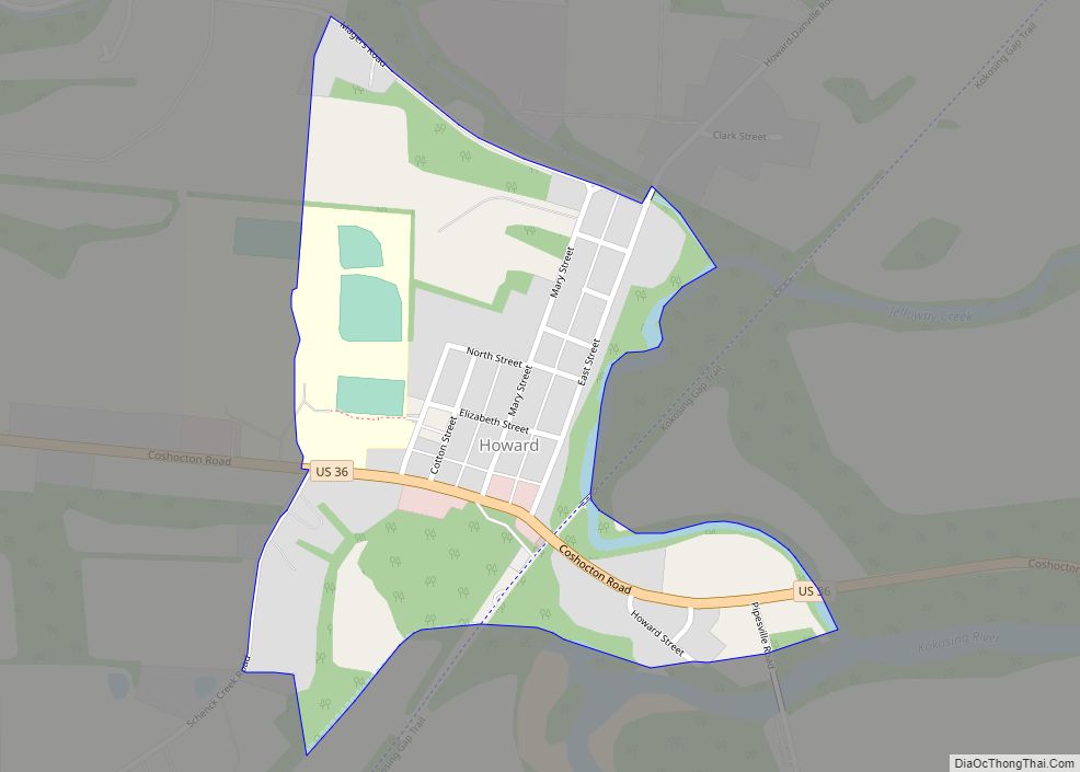
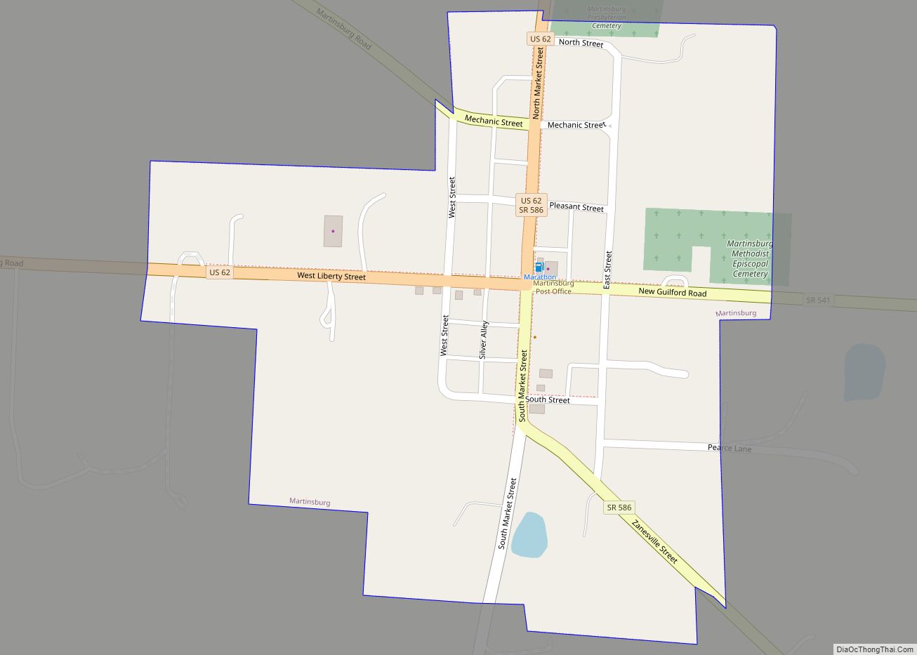
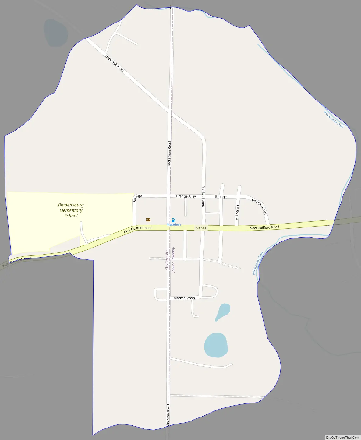
Bladensburg Road Map
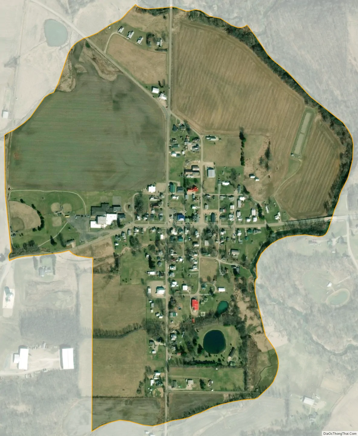
Bladensburg city Satellite Map
See also
Map of Ohio State and its subdivision:- Adams
- Allen
- Ashland
- Ashtabula
- Athens
- Auglaize
- Belmont
- Brown
- Butler
- Carroll
- Champaign
- Clark
- Clermont
- Clinton
- Columbiana
- Coshocton
- Crawford
- Cuyahoga
- Darke
- Defiance
- Delaware
- Erie
- Fairfield
- Fayette
- Franklin
- Fulton
- Gallia
- Geauga
- Greene
- Guernsey
- Hamilton
- Hancock
- Hardin
- Harrison
- Henry
- Highland
- Hocking
- Holmes
- Huron
- Jackson
- Jefferson
- Knox
- Lake
- Lake Erie
- Lawrence
- Licking
- Logan
- Lorain
- Lucas
- Madison
- Mahoning
- Marion
- Medina
- Meigs
- Mercer
- Miami
- Monroe
- Montgomery
- Morgan
- Morrow
- Muskingum
- Noble
- Ottawa
- Paulding
- Perry
- Pickaway
- Pike
- Portage
- Preble
- Putnam
- Richland
- Ross
- Sandusky
- Scioto
- Seneca
- Shelby
- Stark
- Summit
- Trumbull
- Tuscarawas
- Union
- Van Wert
- Vinton
- Warren
- Washington
- Wayne
- Williams
- Wood
- Wyandot
- Alabama
- Alaska
- Arizona
- Arkansas
- California
- Colorado
- Connecticut
- Delaware
- District of Columbia
- Florida
- Georgia
- Hawaii
- Idaho
- Illinois
- Indiana
- Iowa
- Kansas
- Kentucky
- Louisiana
- Maine
- Maryland
- Massachusetts
- Michigan
- Minnesota
- Mississippi
- Missouri
- Montana
- Nebraska
- Nevada
- New Hampshire
- New Jersey
- New Mexico
- New York
- North Carolina
- North Dakota
- Ohio
- Oklahoma
- Oregon
- Pennsylvania
- Rhode Island
- South Carolina
- South Dakota
- Tennessee
- Texas
- Utah
- Vermont
- Virginia
- Washington
- West Virginia
- Wisconsin
- Wyoming