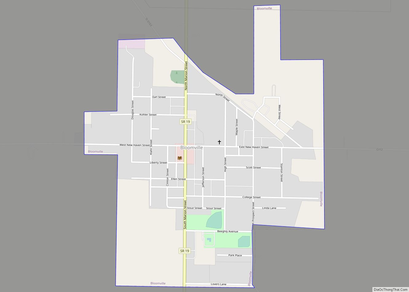
Bloomville is a village in Seneca County, Ohio, United States. The population was 956 at the 2010 census.
| Name: | Bloomville village |
|---|---|
| LSAD Code: | 47 |
| LSAD Description: | village (suffix) |
| State: | Ohio |
| County: | Seneca County |
| Elevation: | 932 ft (284 m) |
| Total Area: | 0.60 sq mi (1.56 km²) |
| Land Area: | 0.60 sq mi (1.56 km²) |
| Water Area: | 0.00 sq mi (0.00 km²) |
| Total Population: | 867 |
| Population Density: | 1,437.81/sq mi (554.75/km²) |
| ZIP code: | 44818 |
| Area code: | 419 |
| FIPS code: | 3907286 |
| GNISfeature ID: | 1064457 |
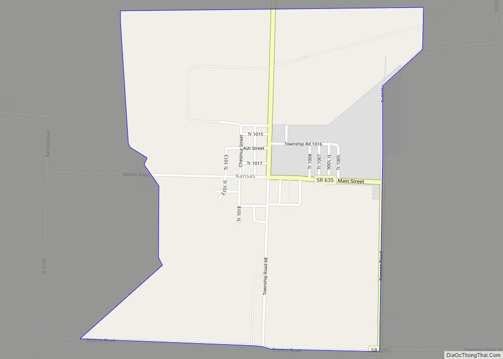
Online Interactive Map
Click on ![]() to view map in "full screen" mode.
to view map in "full screen" mode.
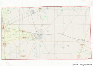
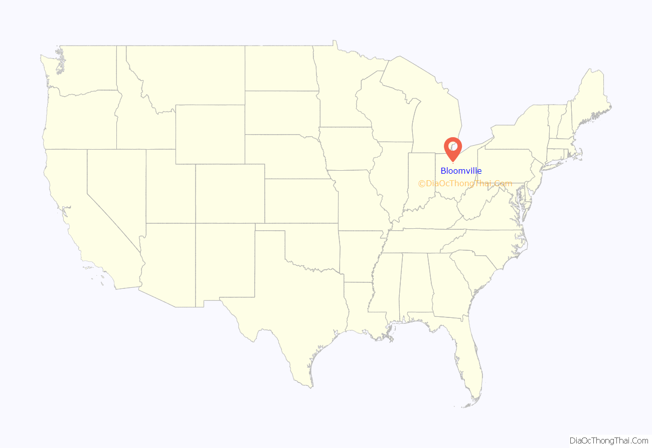
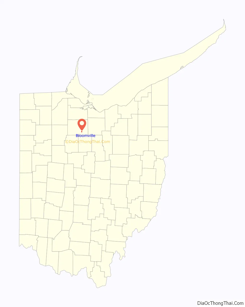
Bloomville location map. Where is Bloomville village?
History
The first settlement at Bloomville was made in 1822. Bloomville was laid out in 1837. It was incorporated as a village in 1871. On November 5, 1889 the village suffered from a major fire.
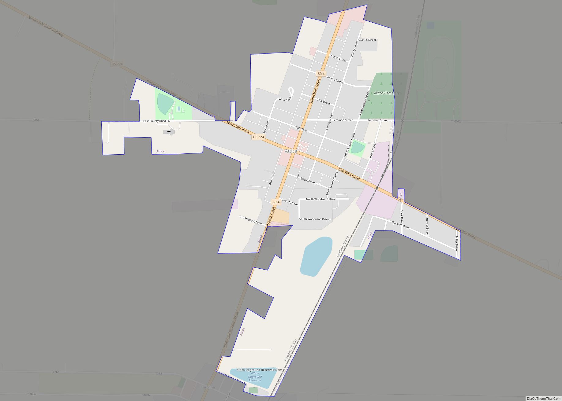
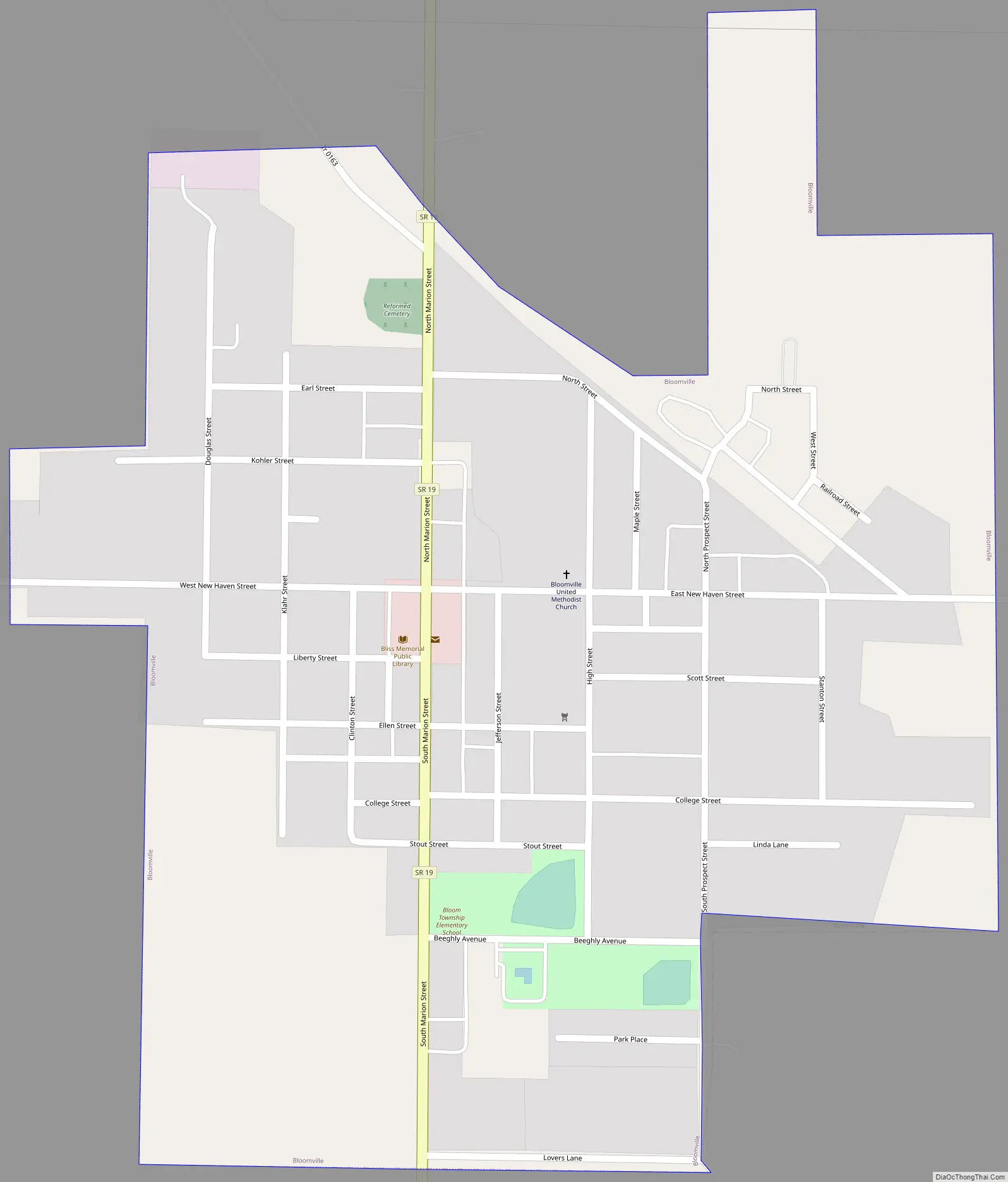
Bloomville Road Map
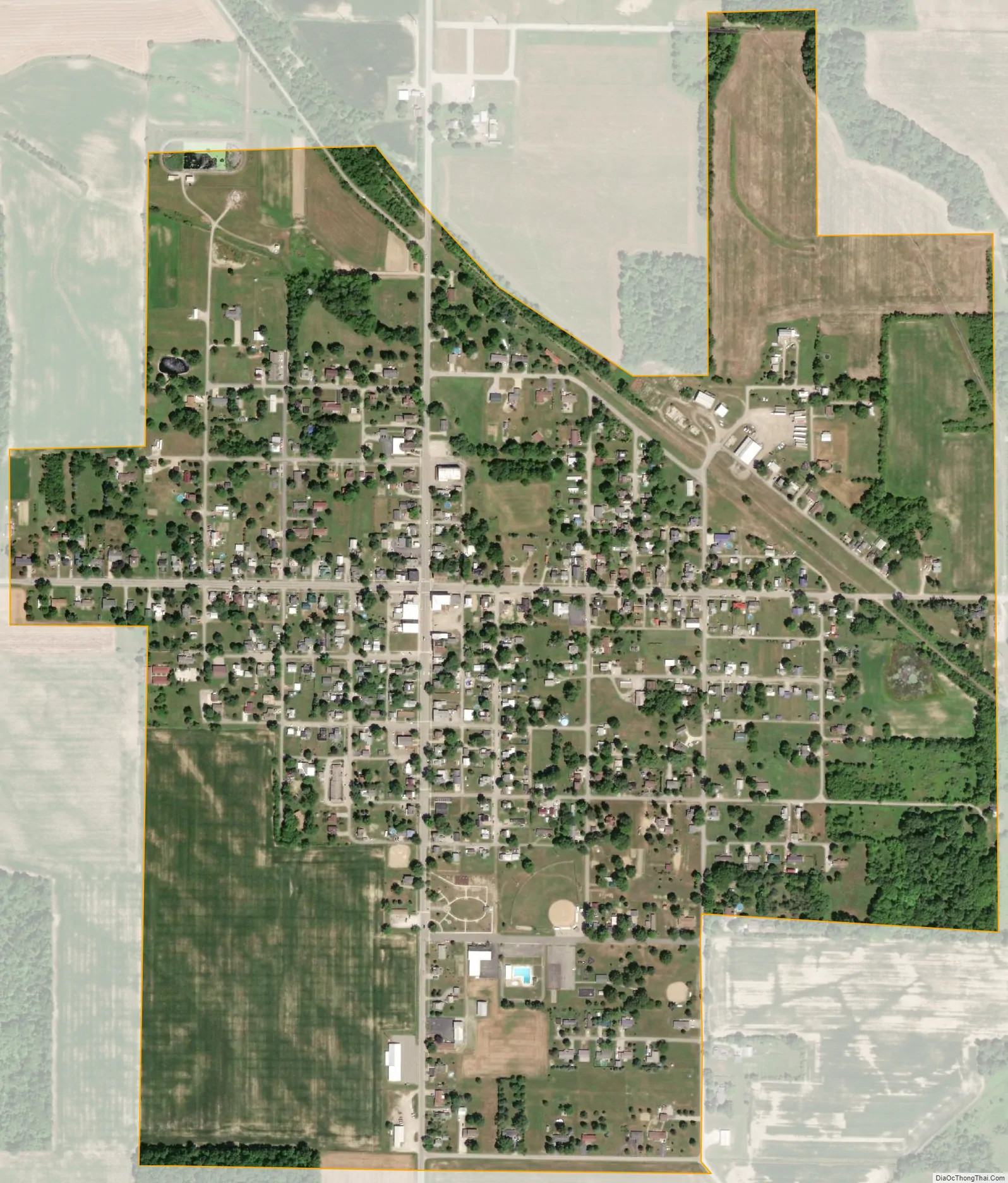
Bloomville city Satellite Map
Geography
Bloomville is located at 41°3′4″N 83°0′47″W / 41.05111°N 83.01306°W / 41.05111; -83.01306 (41.051080, -83.013190).
According to the United States Census Bureau, the village has a total area of 0.60 square miles (1.55 km), all land.
See also
Map of Ohio State and its subdivision:- Adams
- Allen
- Ashland
- Ashtabula
- Athens
- Auglaize
- Belmont
- Brown
- Butler
- Carroll
- Champaign
- Clark
- Clermont
- Clinton
- Columbiana
- Coshocton
- Crawford
- Cuyahoga
- Darke
- Defiance
- Delaware
- Erie
- Fairfield
- Fayette
- Franklin
- Fulton
- Gallia
- Geauga
- Greene
- Guernsey
- Hamilton
- Hancock
- Hardin
- Harrison
- Henry
- Highland
- Hocking
- Holmes
- Huron
- Jackson
- Jefferson
- Knox
- Lake
- Lake Erie
- Lawrence
- Licking
- Logan
- Lorain
- Lucas
- Madison
- Mahoning
- Marion
- Medina
- Meigs
- Mercer
- Miami
- Monroe
- Montgomery
- Morgan
- Morrow
- Muskingum
- Noble
- Ottawa
- Paulding
- Perry
- Pickaway
- Pike
- Portage
- Preble
- Putnam
- Richland
- Ross
- Sandusky
- Scioto
- Seneca
- Shelby
- Stark
- Summit
- Trumbull
- Tuscarawas
- Union
- Van Wert
- Vinton
- Warren
- Washington
- Wayne
- Williams
- Wood
- Wyandot
- Alabama
- Alaska
- Arizona
- Arkansas
- California
- Colorado
- Connecticut
- Delaware
- District of Columbia
- Florida
- Georgia
- Hawaii
- Idaho
- Illinois
- Indiana
- Iowa
- Kansas
- Kentucky
- Louisiana
- Maine
- Maryland
- Massachusetts
- Michigan
- Minnesota
- Mississippi
- Missouri
- Montana
- Nebraska
- Nevada
- New Hampshire
- New Jersey
- New Mexico
- New York
- North Carolina
- North Dakota
- Ohio
- Oklahoma
- Oregon
- Pennsylvania
- Rhode Island
- South Carolina
- South Dakota
- Tennessee
- Texas
- Utah
- Vermont
- Virginia
- Washington
- West Virginia
- Wisconsin
- Wyoming