Bratenahl (/ˈbrætənɑːl/ BRAT-ən-ahl) is a village in Cuyahoga County, Ohio, United States, on the southern shore of Lake Erie. One of Cleveland’s oldest streetcar suburbs, it is bordered by the city on three sides and by the Lake Erie shoreline to the north. The population was 1,197 at the 2010 census.
| Name: | Bratenahl village |
|---|---|
| LSAD Code: | 47 |
| LSAD Description: | village (suffix) |
| State: | Ohio |
| County: | Cuyahoga County |
| Elevation: | 614 ft (187 m) |
| Total Area: | 1.22 sq mi (3.16 km²) |
| Land Area: | 1.03 sq mi (2.66 km²) |
| Water Area: | 0.19 sq mi (0.50 km²) |
| Total Population: | 1,430 |
| Population Density: | 1,392.41/sq mi (537.69/km²) |
| ZIP code: | 44108 & 44110 |
| Area code: | 216 |
| FIPS code: | 3908336 |
| GNISfeature ID: | 1048543 |
| Website: | www.bratenahl.org |
Online Interactive Map
Click on ![]() to view map in "full screen" mode.
to view map in "full screen" mode.
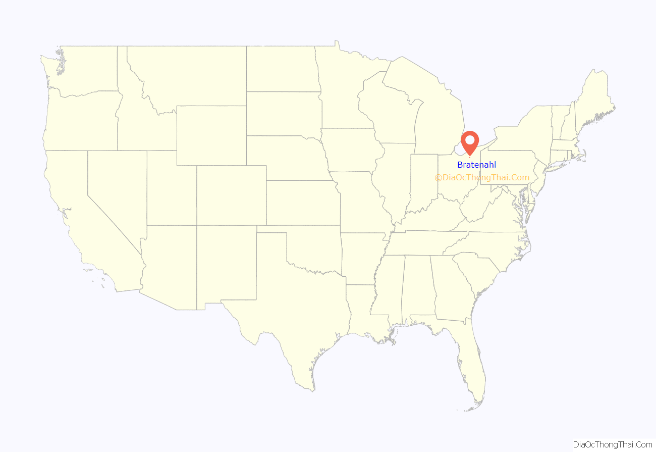
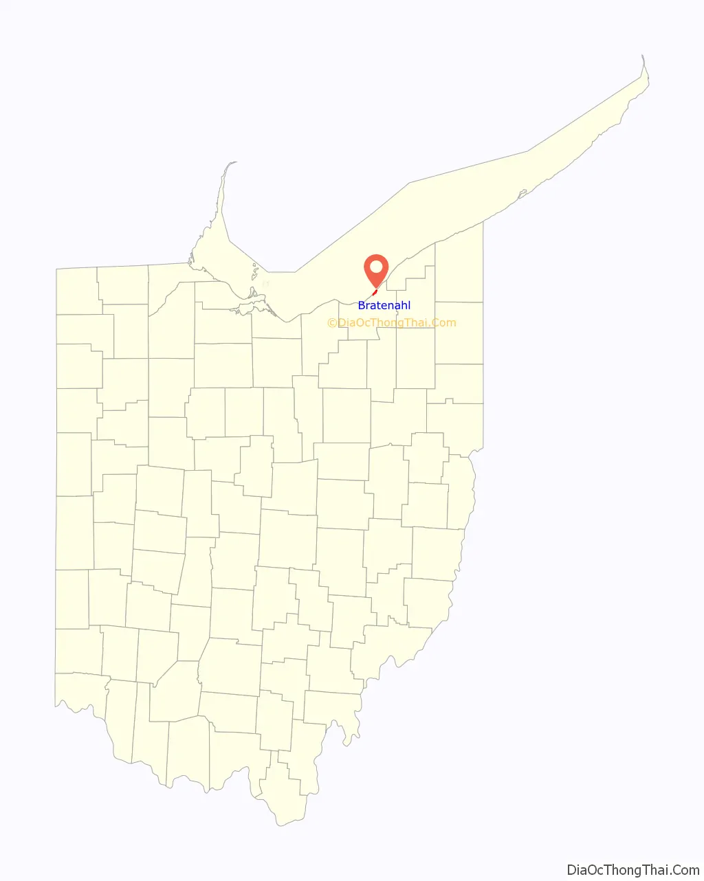
Bratenahl location map. Where is Bratenahl village?
History
Incorporated in 1903, Bratenahl was named after its founder, Charles Bratenahl. It is one of the older residential suburbs of Cleveland along with Shaker Heights, Lakewood, and Cleveland Heights; of these, Bratenahl has the highest per capita wealth. Bratenahl is a small community of fewer than 1,200 population inhabiting approximately 700 households, some of which are stately estates, townhouses, and condominiums on the lakefront. Its famous Lake Shore Boulevard has been featured in many magazines including Better Homes and Gardens.
Bratenahl is home to a once controversial luxury high-rise condominium complex named Bratenahl Place. Though many residents opposed it at the time, in 1967 two large multi-occupancy buildings of brutalist architectural design were built on the lakefront. One of the two structures was originally intended to be a 180-unit rental apartment building, while the other, smaller one was a condominium from its inception. In 1976 however, the larger one also became a condominium.
Bratenahl was the subject of a joint Marshall Project and WEWS investigation that found that the majority of drivers cited for traffic violations by the Bratenahl police were Black. The report found that Bratenahl village had assessed more than $700,000 in fines, court costs, and other revenue since 2020, mostly from Black drivers passing through the village’s jurisdiction.
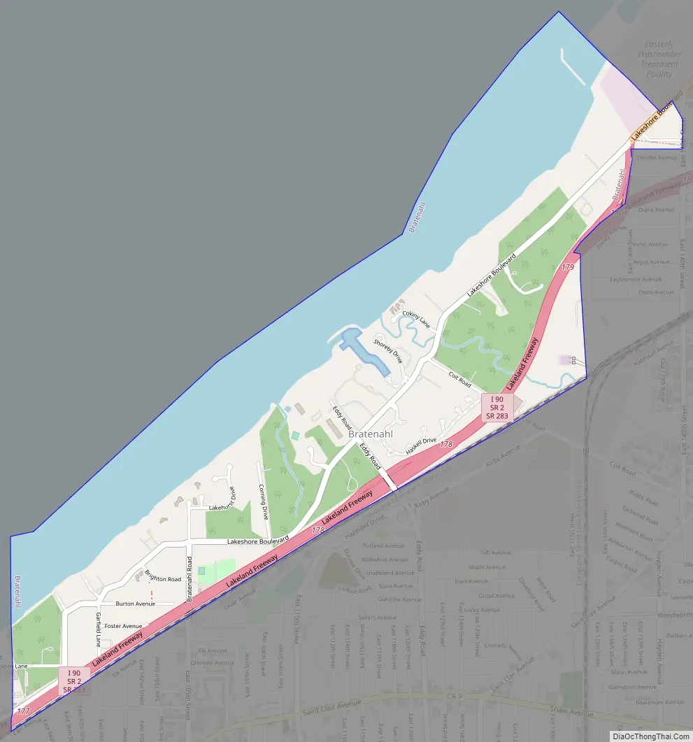
Bratenahl Road Map
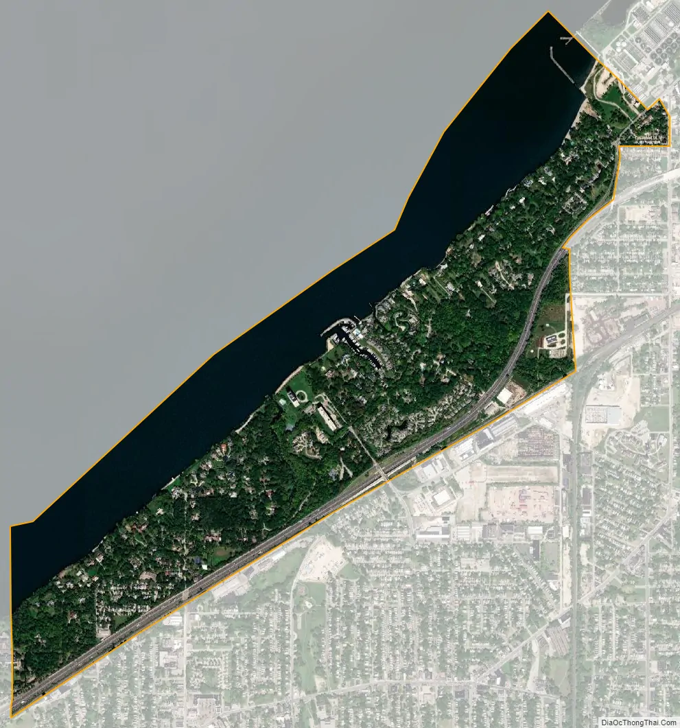
Bratenahl city Satellite Map
Geography
Bratenahl is located at 41°33′15″N 81°36′16″W / 41.55417°N 81.60444°W / 41.55417; -81.60444 (41.554275, −81.604574).
According to the United States Census Bureau, the village has a total area of 1.60 square miles (4.14 km), of which 1.02 square miles (2.64 km) is land and 0.58 square miles (1.50 km) is water.
See also
Map of Ohio State and its subdivision:- Adams
- Allen
- Ashland
- Ashtabula
- Athens
- Auglaize
- Belmont
- Brown
- Butler
- Carroll
- Champaign
- Clark
- Clermont
- Clinton
- Columbiana
- Coshocton
- Crawford
- Cuyahoga
- Darke
- Defiance
- Delaware
- Erie
- Fairfield
- Fayette
- Franklin
- Fulton
- Gallia
- Geauga
- Greene
- Guernsey
- Hamilton
- Hancock
- Hardin
- Harrison
- Henry
- Highland
- Hocking
- Holmes
- Huron
- Jackson
- Jefferson
- Knox
- Lake
- Lake Erie
- Lawrence
- Licking
- Logan
- Lorain
- Lucas
- Madison
- Mahoning
- Marion
- Medina
- Meigs
- Mercer
- Miami
- Monroe
- Montgomery
- Morgan
- Morrow
- Muskingum
- Noble
- Ottawa
- Paulding
- Perry
- Pickaway
- Pike
- Portage
- Preble
- Putnam
- Richland
- Ross
- Sandusky
- Scioto
- Seneca
- Shelby
- Stark
- Summit
- Trumbull
- Tuscarawas
- Union
- Van Wert
- Vinton
- Warren
- Washington
- Wayne
- Williams
- Wood
- Wyandot
- Alabama
- Alaska
- Arizona
- Arkansas
- California
- Colorado
- Connecticut
- Delaware
- District of Columbia
- Florida
- Georgia
- Hawaii
- Idaho
- Illinois
- Indiana
- Iowa
- Kansas
- Kentucky
- Louisiana
- Maine
- Maryland
- Massachusetts
- Michigan
- Minnesota
- Mississippi
- Missouri
- Montana
- Nebraska
- Nevada
- New Hampshire
- New Jersey
- New Mexico
- New York
- North Carolina
- North Dakota
- Ohio
- Oklahoma
- Oregon
- Pennsylvania
- Rhode Island
- South Carolina
- South Dakota
- Tennessee
- Texas
- Utah
- Vermont
- Virginia
- Washington
- West Virginia
- Wisconsin
- Wyoming


