Brecksville is a city in Cuyahoga County, Ohio, United States, and a suburb in the Greater Cleveland area. The city’s population was 13,635 at the United States 2020 Census.
| Name: | Brecksville city |
|---|---|
| LSAD Code: | 25 |
| LSAD Description: | city (suffix) |
| State: | Ohio |
| County: | Cuyahoga County |
| Elevation: | 889 ft (271 m) |
| Total Area: | 19.56 sq mi (50.66 km²) |
| Land Area: | 19.45 sq mi (50.37 km²) |
| Water Area: | 0.11 sq mi (0.29 km²) |
| Total Population: | 13,635 |
| Population Density: | 701.10/sq mi (270.69/km²) |
| ZIP code: | 44141 |
| Area code: | 440 |
| FIPS code: | 3908364 |
| GNISfeature ID: | 1064483 |
| Website: | www.brecksville.oh.us |
Online Interactive Map
Click on ![]() to view map in "full screen" mode.
to view map in "full screen" mode.
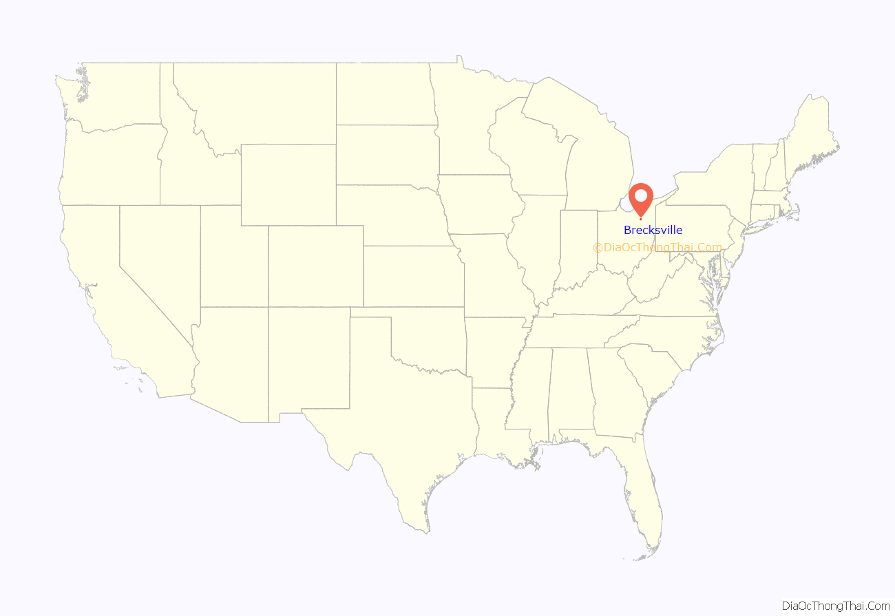
Brecksville location map. Where is Brecksville city?
History
Brecksville was founded in 1811, four years after several men—including Colonel John Breck—purchased the surrounding area. After the land was surveyed, Seth Payne, one of the surveyors, brought his family and settled in the area in June 1811, and he was soon followed by many other families. Although Colonel Breck never lived in Brecksville, his three sons did, and members of his family continued to live in Brecksville until 1934, when his great-grandson Dr. Theodore Breck died. An early historical account of Brecksville was written by William R. Coates and published by The American Historical Society in 1924.
Brecksville was incorporated as a village in 1921, and it gained the status of city in 1960.
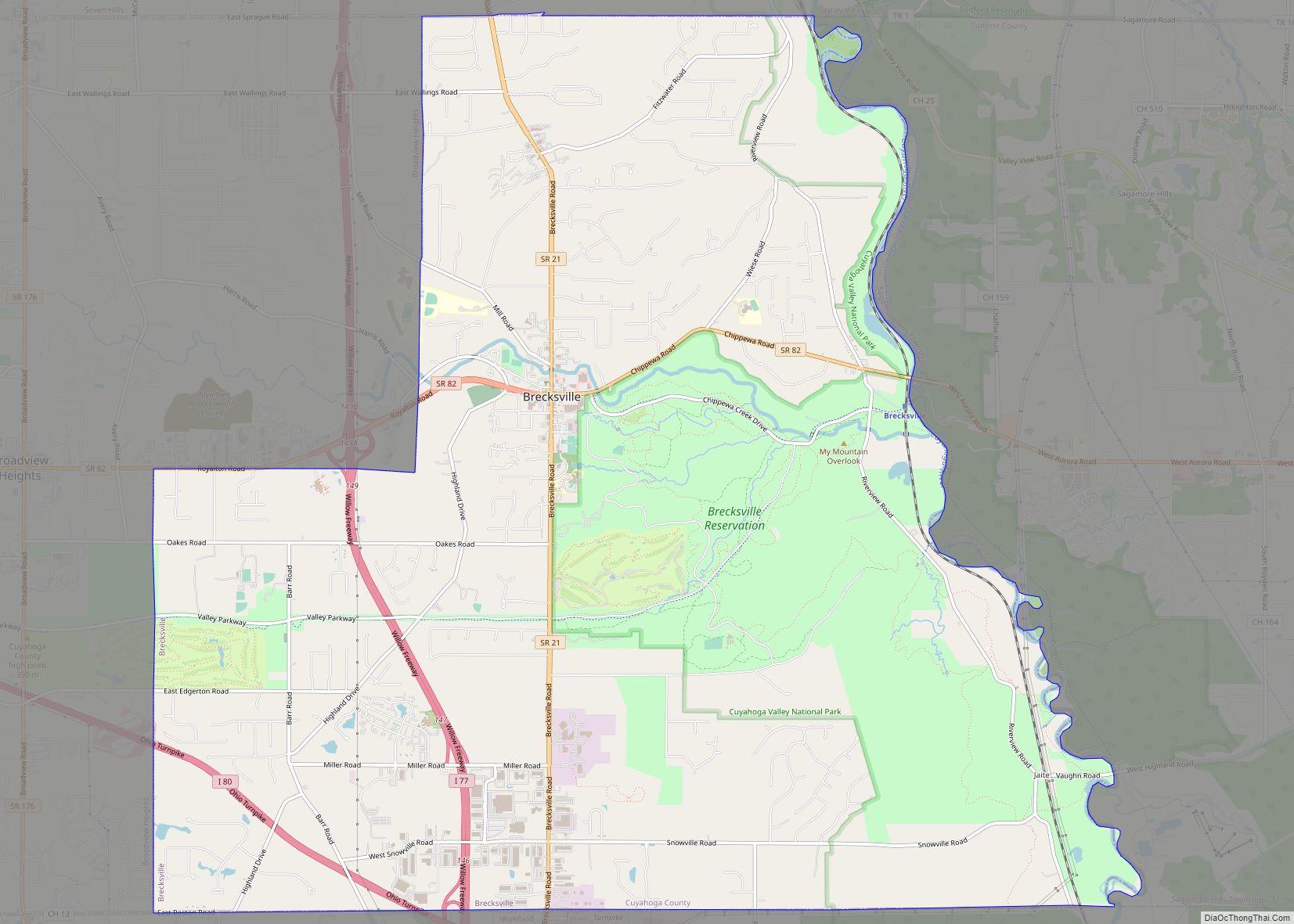
Brecksville Road Map
Brecksville city Satellite Map
Geography
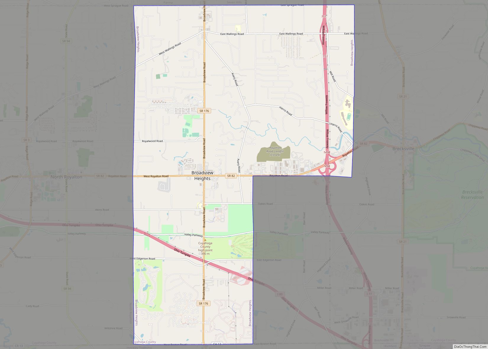
Brecksville is defined by its wooded bluffs and ravines which are a result of the geological confluence of the Glaciated Allegheny Plateau and the Great Lakes Basin. Brecksville’s eastern border is traversed by the Cuyahoga River and borders Sagamore Hills Township and Boston Township, southern border Richfield Township (all three townships in Summit County), western border Broadview Heights and northern border Independence.
See also
Map of Ohio State and its subdivision:- Adams
- Allen
- Ashland
- Ashtabula
- Athens
- Auglaize
- Belmont
- Brown
- Butler
- Carroll
- Champaign
- Clark
- Clermont
- Clinton
- Columbiana
- Coshocton
- Crawford
- Cuyahoga
- Darke
- Defiance
- Delaware
- Erie
- Fairfield
- Fayette
- Franklin
- Fulton
- Gallia
- Geauga
- Greene
- Guernsey
- Hamilton
- Hancock
- Hardin
- Harrison
- Henry
- Highland
- Hocking
- Holmes
- Huron
- Jackson
- Jefferson
- Knox
- Lake
- Lake Erie
- Lawrence
- Licking
- Logan
- Lorain
- Lucas
- Madison
- Mahoning
- Marion
- Medina
- Meigs
- Mercer
- Miami
- Monroe
- Montgomery
- Morgan
- Morrow
- Muskingum
- Noble
- Ottawa
- Paulding
- Perry
- Pickaway
- Pike
- Portage
- Preble
- Putnam
- Richland
- Ross
- Sandusky
- Scioto
- Seneca
- Shelby
- Stark
- Summit
- Trumbull
- Tuscarawas
- Union
- Van Wert
- Vinton
- Warren
- Washington
- Wayne
- Williams
- Wood
- Wyandot
- Alabama
- Alaska
- Arizona
- Arkansas
- California
- Colorado
- Connecticut
- Delaware
- District of Columbia
- Florida
- Georgia
- Hawaii
- Idaho
- Illinois
- Indiana
- Iowa
- Kansas
- Kentucky
- Louisiana
- Maine
- Maryland
- Massachusetts
- Michigan
- Minnesota
- Mississippi
- Missouri
- Montana
- Nebraska
- Nevada
- New Hampshire
- New Jersey
- New Mexico
- New York
- North Carolina
- North Dakota
- Ohio
- Oklahoma
- Oregon
- Pennsylvania
- Rhode Island
- South Carolina
- South Dakota
- Tennessee
- Texas
- Utah
- Vermont
- Virginia
- Washington
- West Virginia
- Wisconsin
- Wyoming
