Canal Fulton is a city in western Stark County, Ohio, United States, along the Tuscarawas River. The population was 5,325 at the time of the 2020 census. It is part of the Canton–Massillon metropolitan area.
| Name: | Canal Fulton city |
|---|---|
| LSAD Code: | 25 |
| LSAD Description: | city (suffix) |
| State: | Ohio |
| County: | Stark County |
| Elevation: | 951 ft (290 m) |
| Total Area: | 3.48 sq mi (9.00 km²) |
| Land Area: | 3.41 sq mi (8.84 km²) |
| Water Area: | 0.06 sq mi (0.16 km²) |
| Total Population: | 5,325 |
| Population Density: | 1,561.13/sq mi (602.70/km²) |
| ZIP code: | 44614 |
| Area code: | 330 |
| FIPS code: | 3911304 |
| GNISfeature ID: | 1060923 |
| Website: | www.cityofcanalfulton-oh.gov |
Online Interactive Map
Click on ![]() to view map in "full screen" mode.
to view map in "full screen" mode.
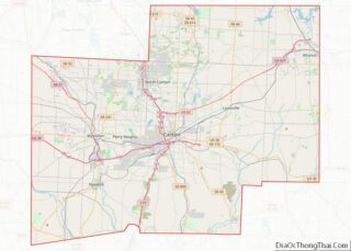
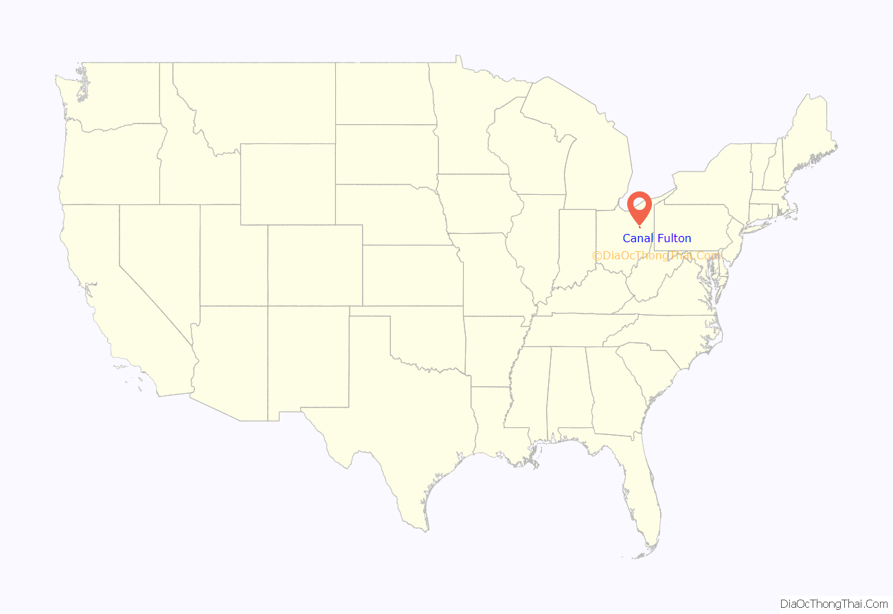
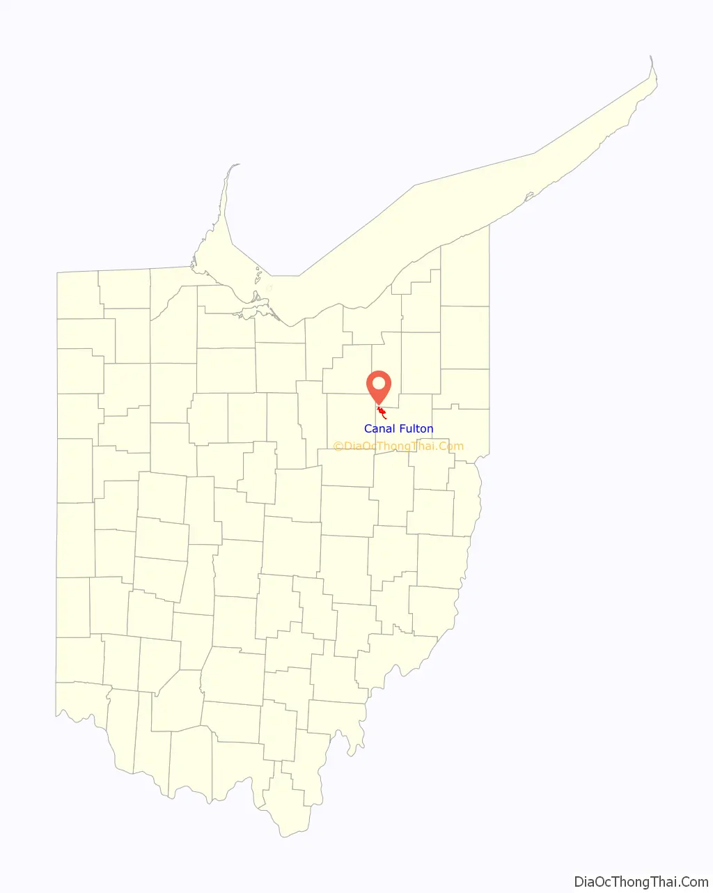
Canal Fulton location map. Where is Canal Fulton city?
History
Canal Fulton traces its history to three villages that developed along the Tuscarawas River. Milan was platted on March 23, 1814, by Matthew Rowland who arrived by ox team. It was the first settlement west of the Tuscarawas River in Stark County. Fulton was platted on May 16, 1826, changed its name to Canal Fulton in 1832, and later incorporated as a village. The present name is an amalgamation of the Ohio Canal and the name of a local pioneer, Ben Fulton. In 1843, President John Quincy Adams visited. In 1850 the first permanent community school began operation and railroad operations began. In 1853, Canal Fulton absorbed both Milan and West Fulton. In 1855, Union School building was completed and had two rooms accommodating 100 students. In 1869, the construction of railroad was completed on the west side of the river. 1870 Addition built at Union School. In 1873, The warehouse converted to Opera House. In 1874, Canal Fulton approves organization of a fire department, although one was in existence in the early 1800s. Fire department gets first modern steam-operated pumper. In 1875, Sts. Philip and James School founded.
In 1876, German immigrants came to area as strikebreakers for coal industry. In 1886, new school built to accommodate 12 grades.
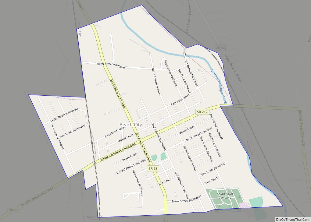
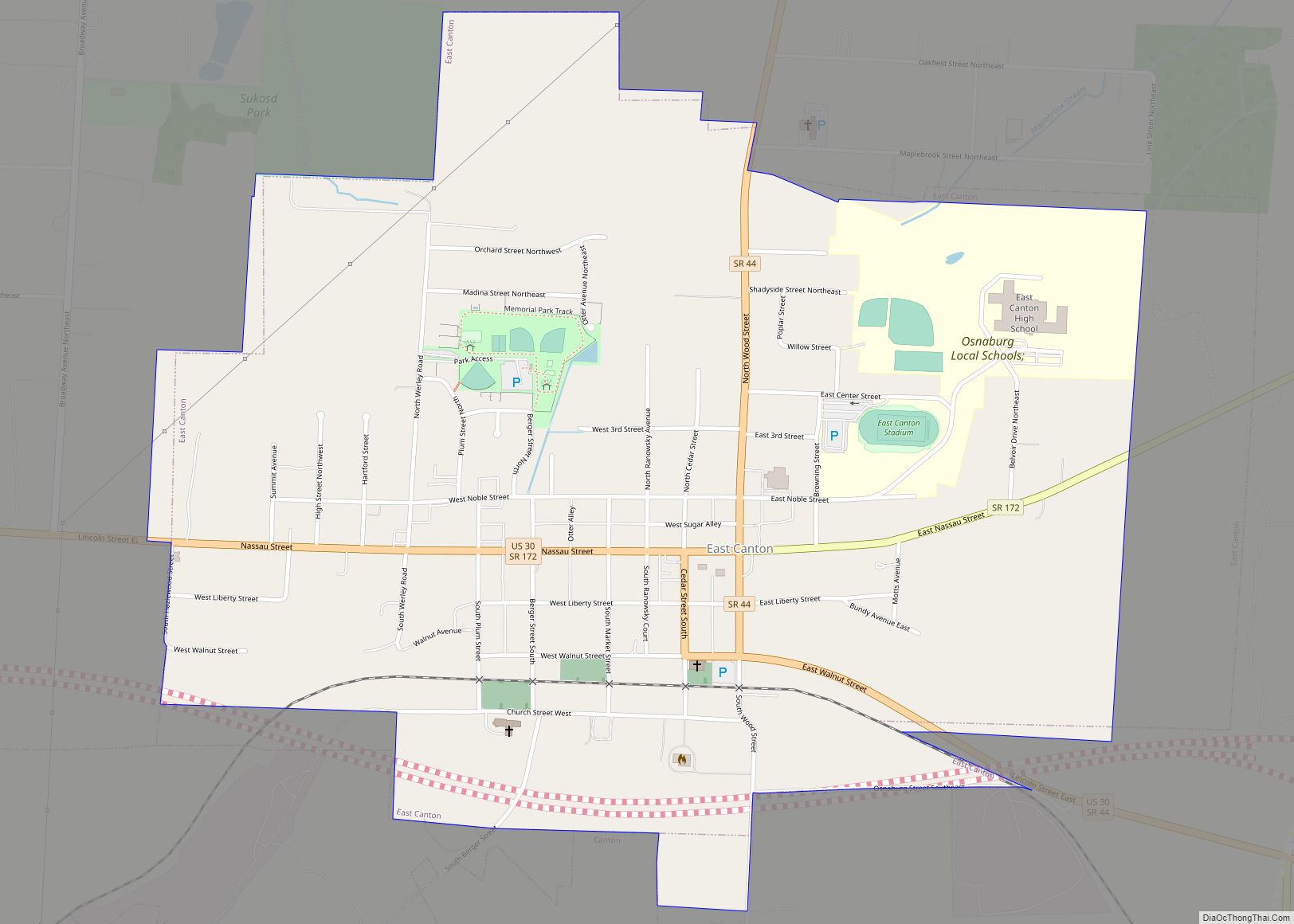
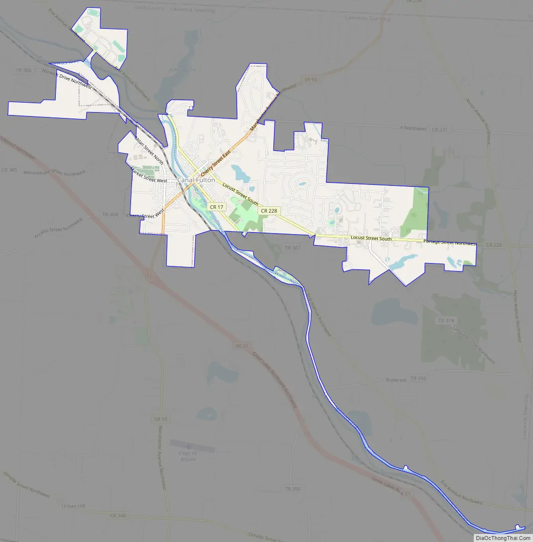
Canal Fulton Road Map
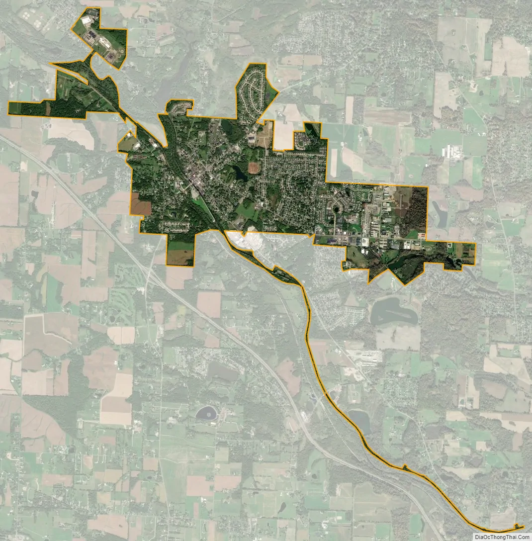
Canal Fulton city Satellite Map
Geography
Canal Fulton is located at 40°53′23″N 81°35′43″W / 40.88972°N 81.59528°W / 40.88972; -81.59528 (40.889806, -81.595339), along the Tuscarawas River.
According to the United States Census Bureau, the city has a total area of 3.32 square miles (8.60 km), of which 3.26 square miles (8.44 km) is land and 0.06 square miles (0.16 km) is water.
See also
Map of Ohio State and its subdivision:- Adams
- Allen
- Ashland
- Ashtabula
- Athens
- Auglaize
- Belmont
- Brown
- Butler
- Carroll
- Champaign
- Clark
- Clermont
- Clinton
- Columbiana
- Coshocton
- Crawford
- Cuyahoga
- Darke
- Defiance
- Delaware
- Erie
- Fairfield
- Fayette
- Franklin
- Fulton
- Gallia
- Geauga
- Greene
- Guernsey
- Hamilton
- Hancock
- Hardin
- Harrison
- Henry
- Highland
- Hocking
- Holmes
- Huron
- Jackson
- Jefferson
- Knox
- Lake
- Lake Erie
- Lawrence
- Licking
- Logan
- Lorain
- Lucas
- Madison
- Mahoning
- Marion
- Medina
- Meigs
- Mercer
- Miami
- Monroe
- Montgomery
- Morgan
- Morrow
- Muskingum
- Noble
- Ottawa
- Paulding
- Perry
- Pickaway
- Pike
- Portage
- Preble
- Putnam
- Richland
- Ross
- Sandusky
- Scioto
- Seneca
- Shelby
- Stark
- Summit
- Trumbull
- Tuscarawas
- Union
- Van Wert
- Vinton
- Warren
- Washington
- Wayne
- Williams
- Wood
- Wyandot
- Alabama
- Alaska
- Arizona
- Arkansas
- California
- Colorado
- Connecticut
- Delaware
- District of Columbia
- Florida
- Georgia
- Hawaii
- Idaho
- Illinois
- Indiana
- Iowa
- Kansas
- Kentucky
- Louisiana
- Maine
- Maryland
- Massachusetts
- Michigan
- Minnesota
- Mississippi
- Missouri
- Montana
- Nebraska
- Nevada
- New Hampshire
- New Jersey
- New Mexico
- New York
- North Carolina
- North Dakota
- Ohio
- Oklahoma
- Oregon
- Pennsylvania
- Rhode Island
- South Carolina
- South Dakota
- Tennessee
- Texas
- Utah
- Vermont
- Virginia
- Washington
- West Virginia
- Wisconsin
- Wyoming