Champion Heights is an unincorporated community and census-designated place in Champion Township, Trumbull County, Ohio, United States. The population was 6,386 at the 2020 census. It is part of the Youngstown–Warren metropolitan area.
| Name: | Champion Heights CDP |
|---|---|
| LSAD Code: | 57 |
| LSAD Description: | CDP (suffix) |
| State: | Ohio |
| County: | Trumbull County |
| Total Area: | 8.37 sq mi (21.67 km²) |
| Land Area: | 8.37 sq mi (21.67 km²) |
| Water Area: | 0.00 sq mi (0.00 km²) |
| Total Population: | 6,386 |
| Population Density: | 763.24/sq mi (294.70/km²) |
| FIPS code: | 3913484 |
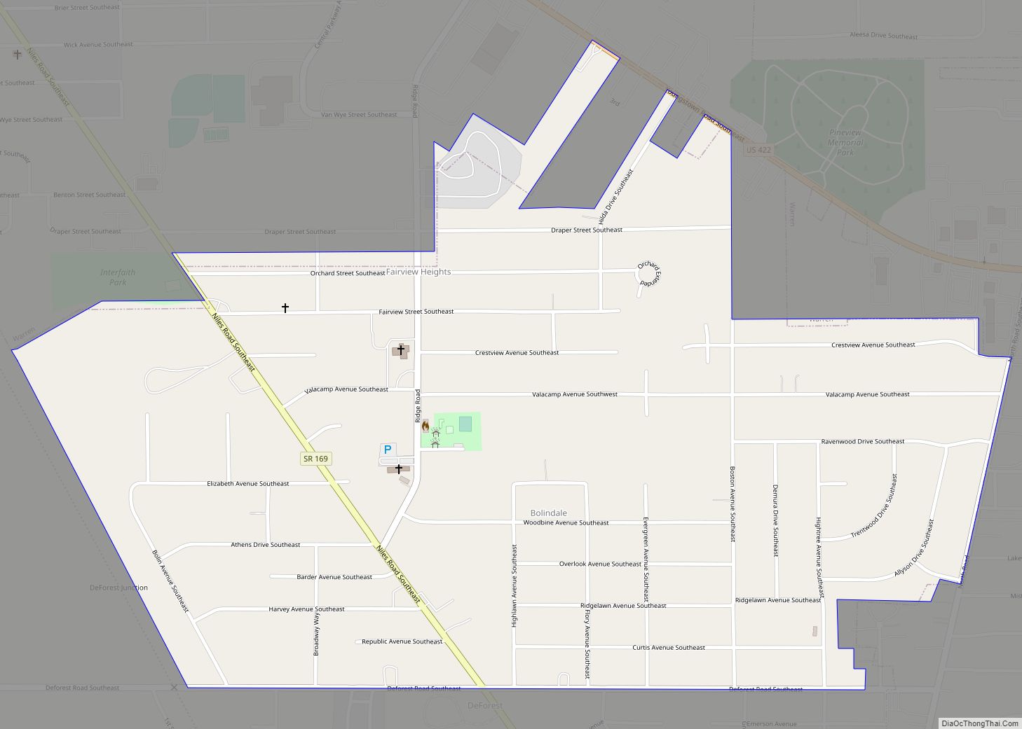
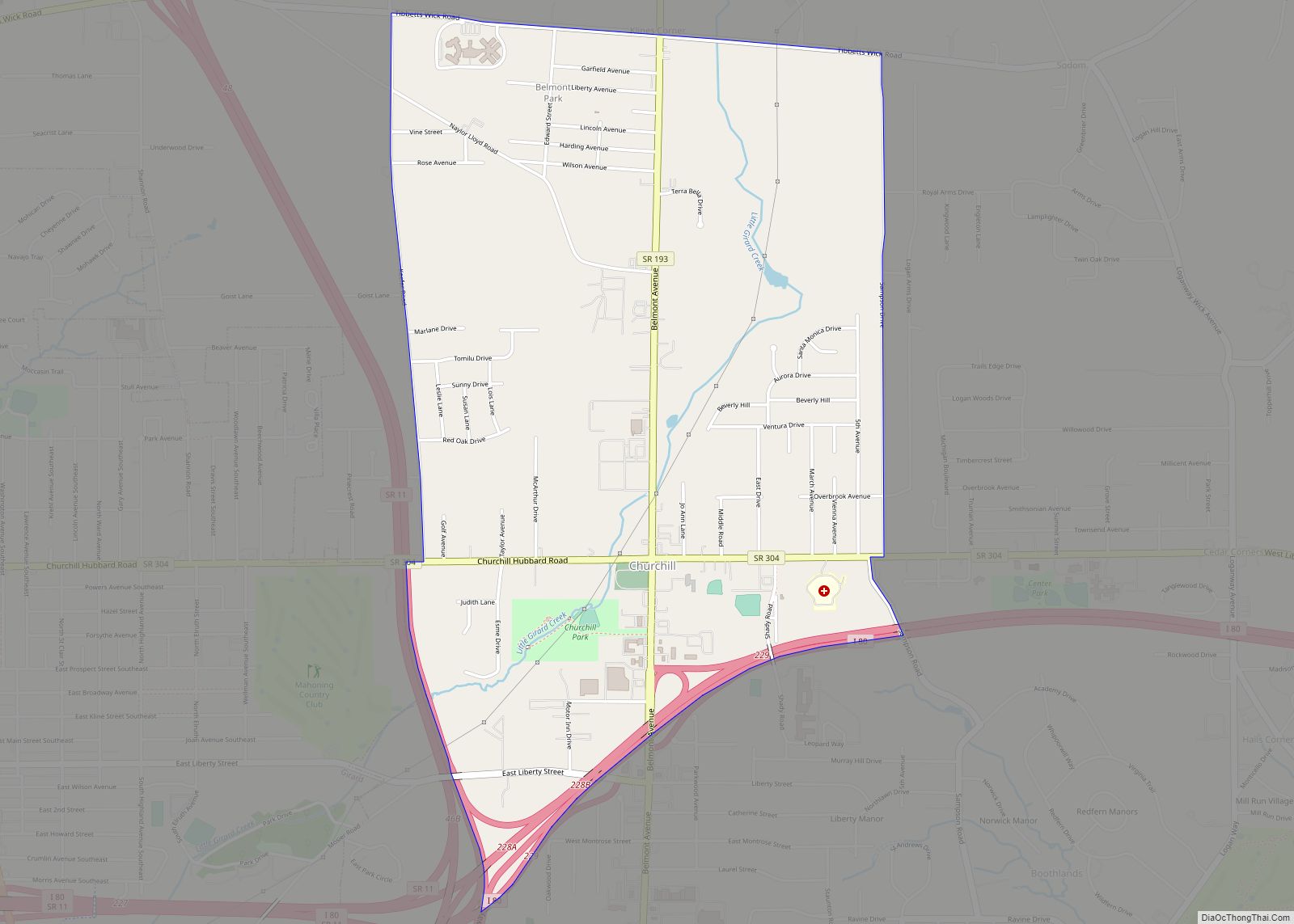
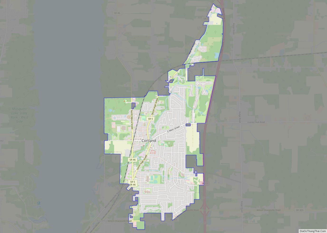
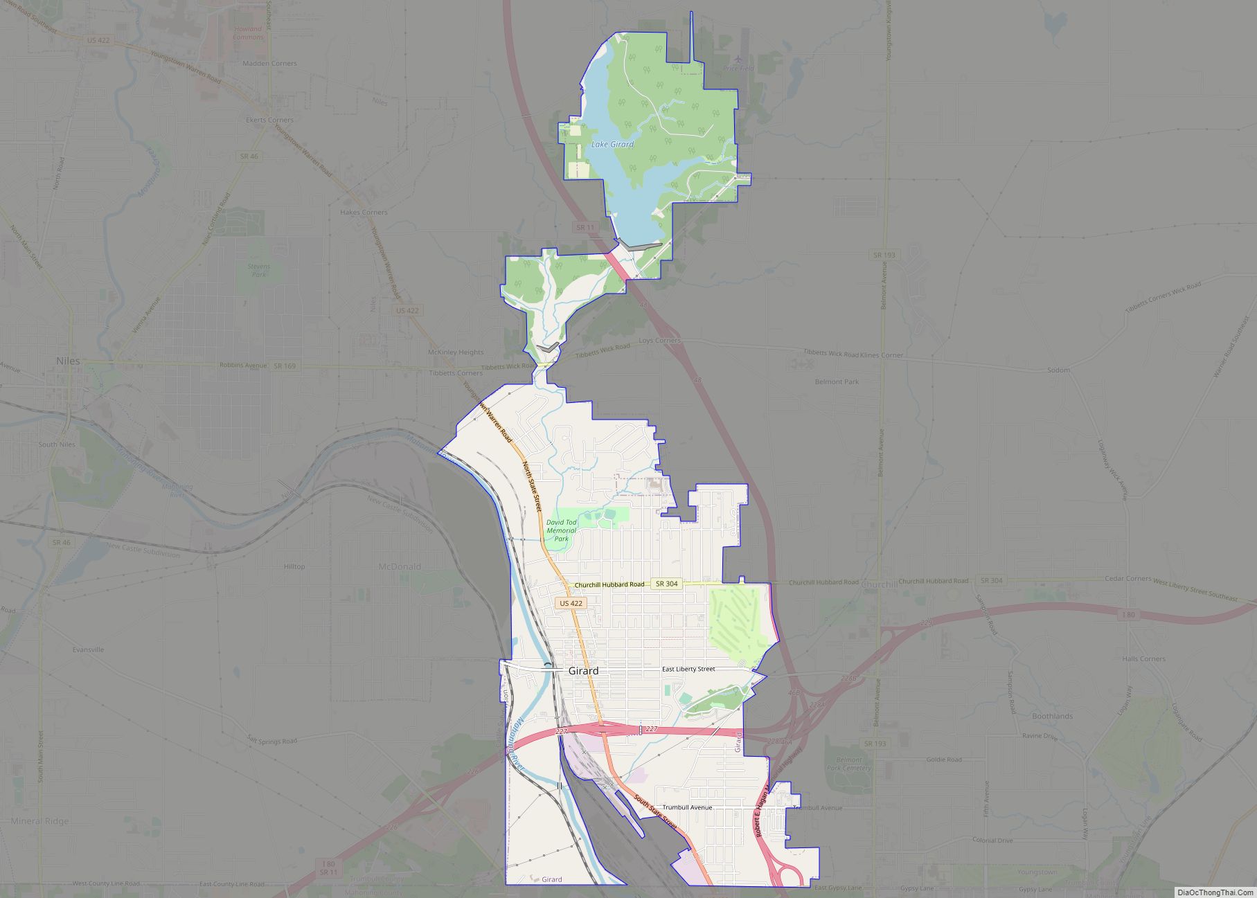
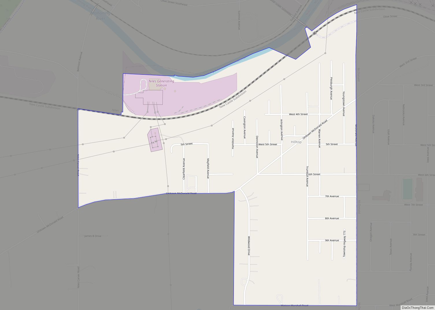
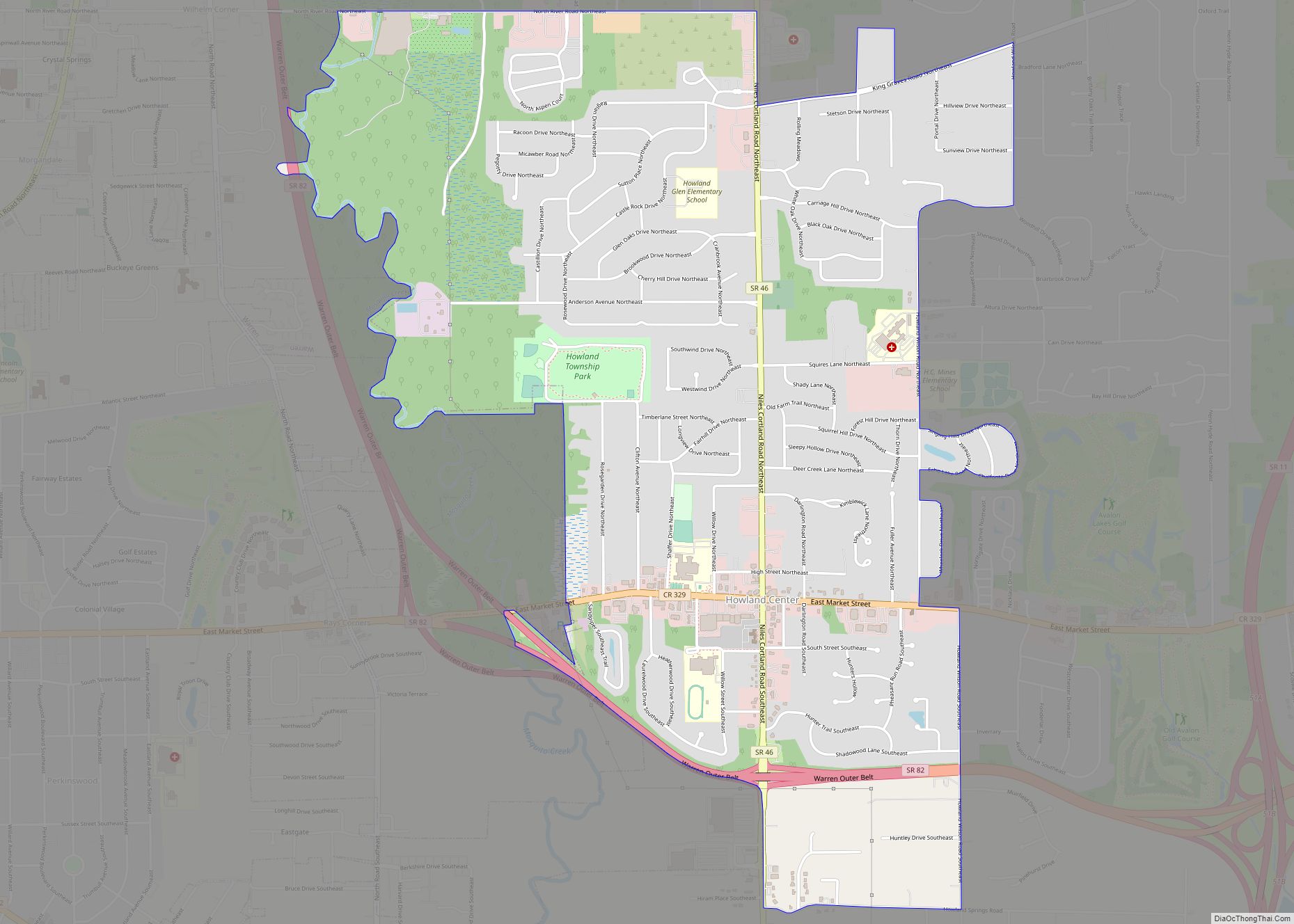
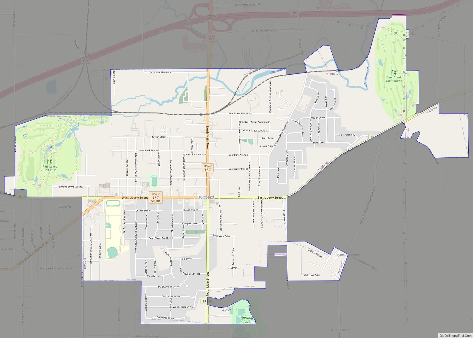
Online Interactive Map
Click on ![]() to view map in "full screen" mode.
to view map in "full screen" mode.
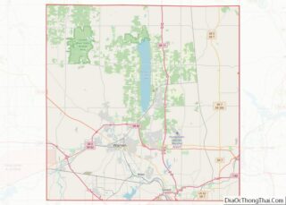
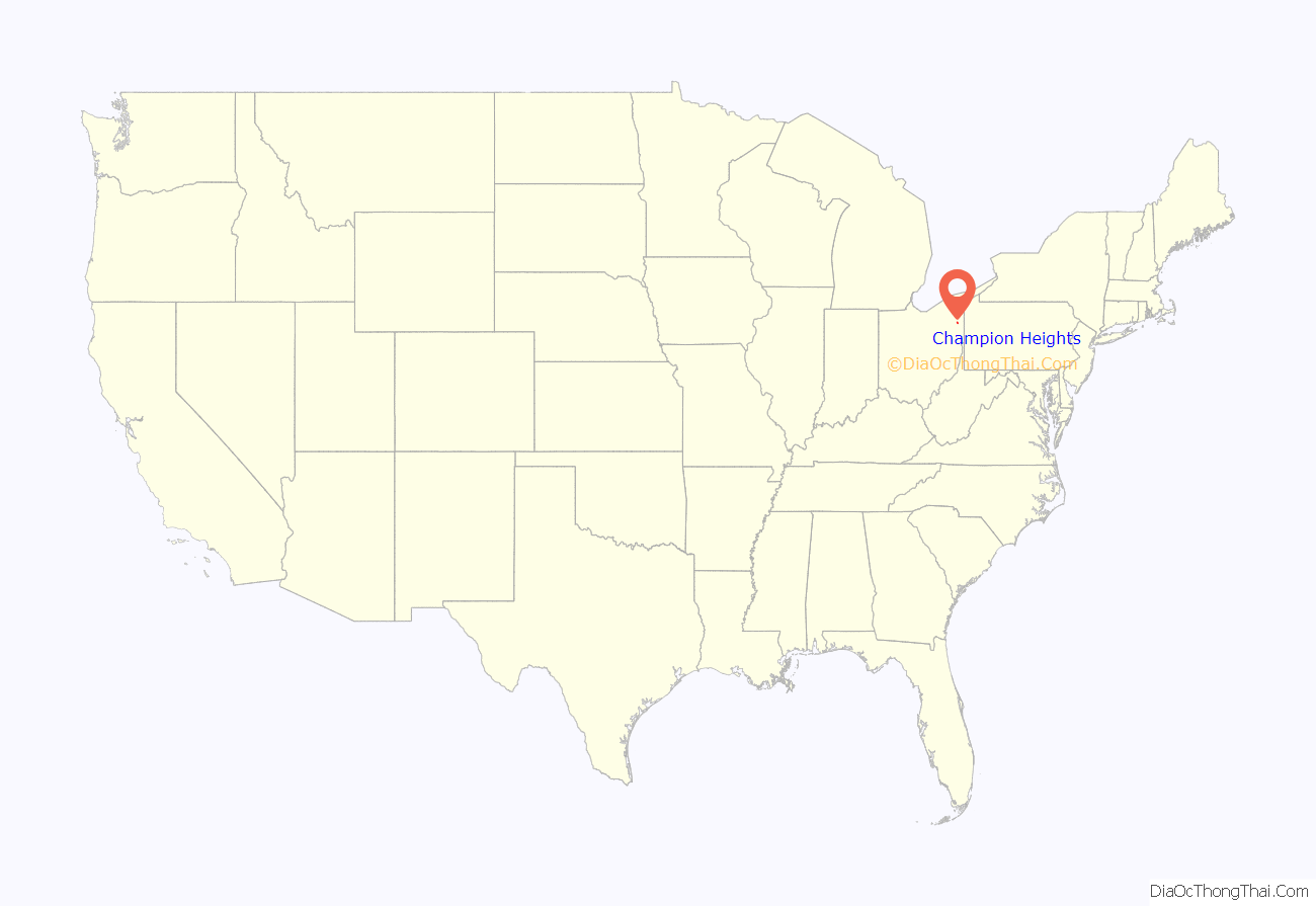
Champion Heights location map. Where is Champion Heights CDP?
History
A variant name was Champion. A post office was in operation under the name Champion in 1850 until 1858, and again from 1873 until it was discontinued in 1902. The community takes its name from Champion Township. Champion Township was originally part of the Connecticut Western Reserve, then was purchased by the Connecticut Land Company. The land that became the township was divided among nine or ten shareholders, one of whom, General Henry Champion, originally owned much of the property and had acquired all of the township land by December 1798, and it took his name.
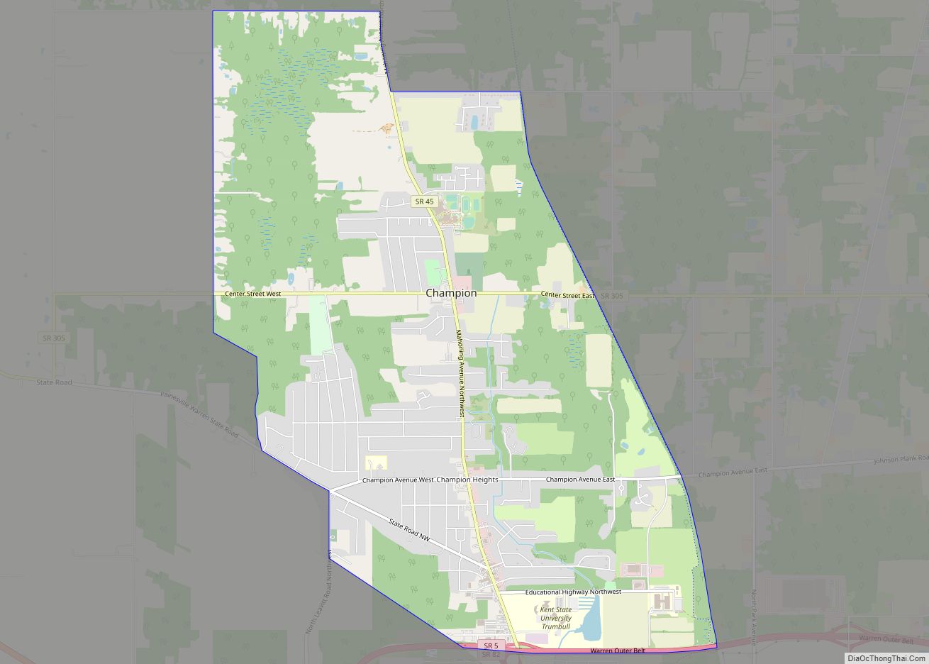
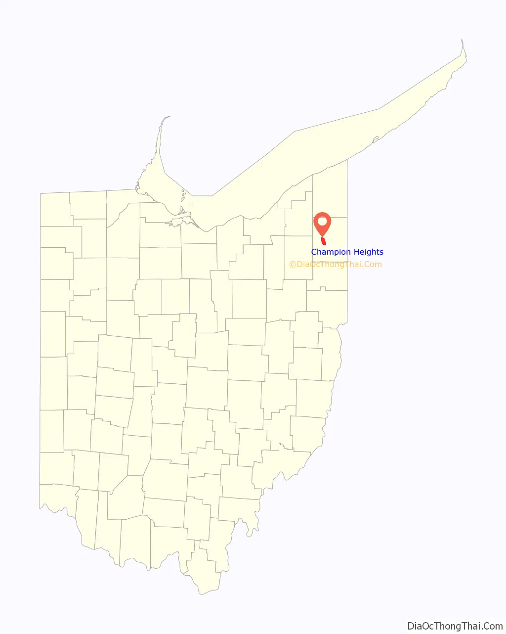
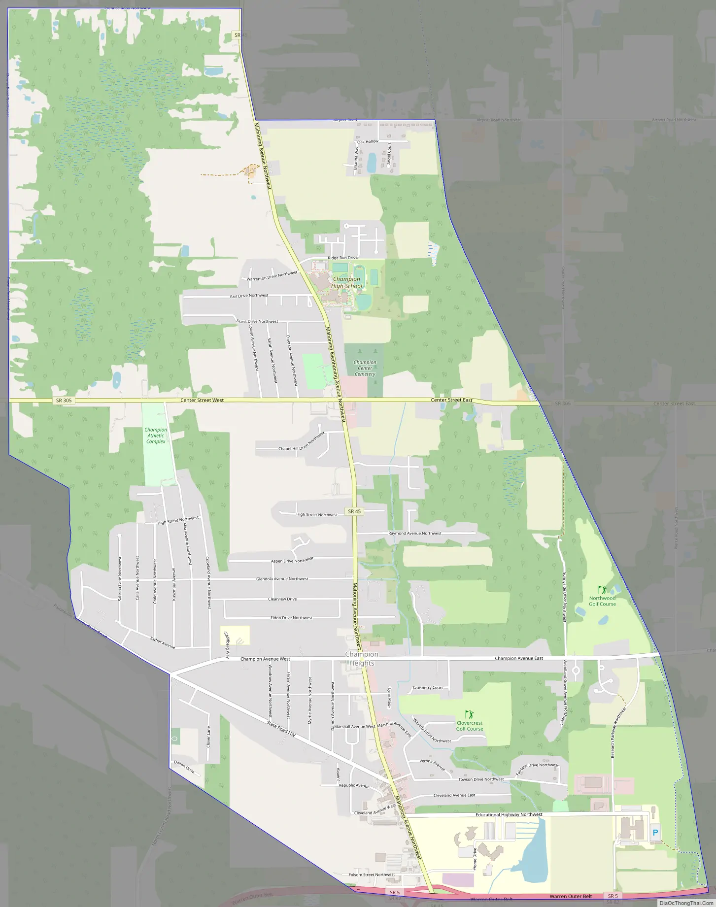
Champion Heights Road Map
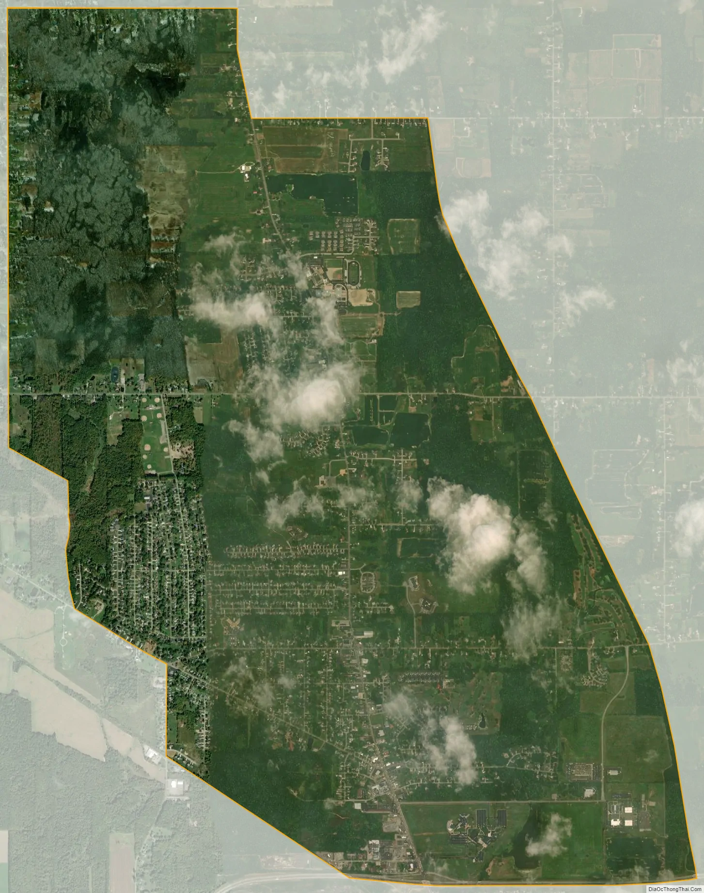
Champion Heights city Satellite Map
Geography
Champion Heights is located at 41°17′26″N 80°51′5″W / 41.29056°N 80.85139°W / 41.29056; -80.85139 (41.290453, -80.851287).
According to the United States Census Bureau, the CDP has a total area of 3.4 square miles (8.8 km), all land.
See also
Map of Ohio State and its subdivision:- Adams
- Allen
- Ashland
- Ashtabula
- Athens
- Auglaize
- Belmont
- Brown
- Butler
- Carroll
- Champaign
- Clark
- Clermont
- Clinton
- Columbiana
- Coshocton
- Crawford
- Cuyahoga
- Darke
- Defiance
- Delaware
- Erie
- Fairfield
- Fayette
- Franklin
- Fulton
- Gallia
- Geauga
- Greene
- Guernsey
- Hamilton
- Hancock
- Hardin
- Harrison
- Henry
- Highland
- Hocking
- Holmes
- Huron
- Jackson
- Jefferson
- Knox
- Lake
- Lake Erie
- Lawrence
- Licking
- Logan
- Lorain
- Lucas
- Madison
- Mahoning
- Marion
- Medina
- Meigs
- Mercer
- Miami
- Monroe
- Montgomery
- Morgan
- Morrow
- Muskingum
- Noble
- Ottawa
- Paulding
- Perry
- Pickaway
- Pike
- Portage
- Preble
- Putnam
- Richland
- Ross
- Sandusky
- Scioto
- Seneca
- Shelby
- Stark
- Summit
- Trumbull
- Tuscarawas
- Union
- Van Wert
- Vinton
- Warren
- Washington
- Wayne
- Williams
- Wood
- Wyandot
- Alabama
- Alaska
- Arizona
- Arkansas
- California
- Colorado
- Connecticut
- Delaware
- District of Columbia
- Florida
- Georgia
- Hawaii
- Idaho
- Illinois
- Indiana
- Iowa
- Kansas
- Kentucky
- Louisiana
- Maine
- Maryland
- Massachusetts
- Michigan
- Minnesota
- Mississippi
- Missouri
- Montana
- Nebraska
- Nevada
- New Hampshire
- New Jersey
- New Mexico
- New York
- North Carolina
- North Dakota
- Ohio
- Oklahoma
- Oregon
- Pennsylvania
- Rhode Island
- South Carolina
- South Dakota
- Tennessee
- Texas
- Utah
- Vermont
- Virginia
- Washington
- West Virginia
- Wisconsin
- Wyoming