Cheviot /ˈʃɛviət/ is a city in west-central Hamilton County, Ohio, United States. It is a suburb of Cincinnati. The population was 8,658 at the 2020 census.
| Name: | Cheviot city |
|---|---|
| LSAD Code: | 25 |
| LSAD Description: | city (suffix) |
| State: | Ohio |
| County: | Hamilton County |
| Elevation: | 909 ft (277 m) |
| Total Area: | 1.17 sq mi (3.02 km²) |
| Land Area: | 1.17 sq mi (3.02 km²) |
| Water Area: | 0.00 sq mi (0.00 km²) |
| Total Population: | 8,658 |
| Population Density: | 7,425.39/sq mi (2,865.99/km²) |
| ZIP code: | 45211 |
| Area code: | 513 |
| FIPS code: | 3914128 |
| GNISfeature ID: | 1056799 |
| Website: | www.cheviot.org |
Online Interactive Map
Click on ![]() to view map in "full screen" mode.
to view map in "full screen" mode.
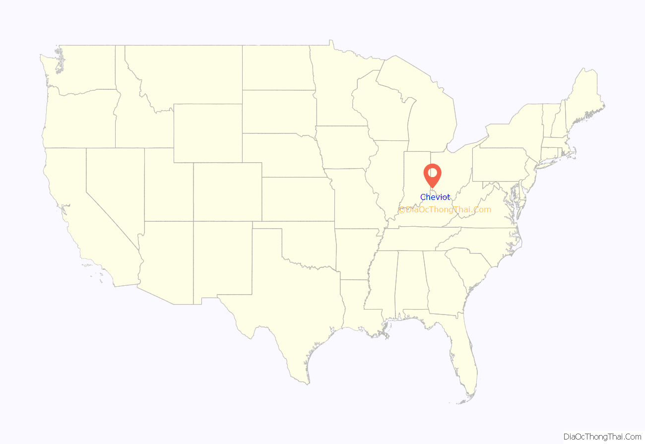
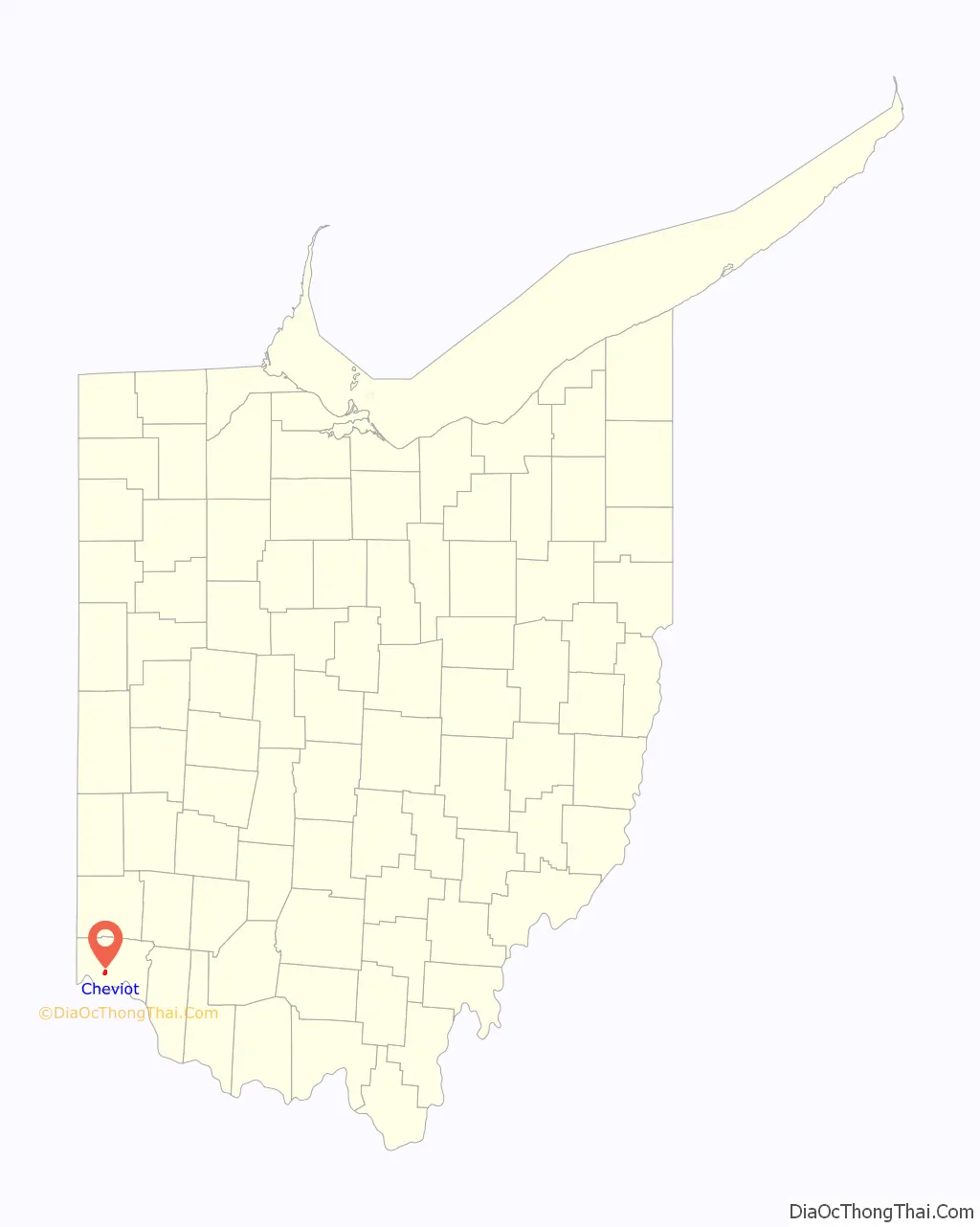
Cheviot location map. Where is Cheviot city?
History
In 1818, a Scottish immigrant named John Craig purchased a half section of 320 acres (1.3 km) of Green Township from Elias Boudinot. He built an inn and tavern on the Harrison Pike. On March 21 1818, Craig laid out a town which he named after the Cheviot Hills in southern Scotland. He sold lots and growth began.
The town was incorporated as a village in 1901, and a city in 1931. Originally a farming community, today Cheviot is a residential suburb of Cincinnati.
On January 6, 2018, fireworks at the Cheviot Memorial Building Fieldhouse kicked off the city’s bicentennial. Events planned throughout 2018 included a new water splash park at Harvest Home Park, a historical marker at Harvest Home and personal bricks located next to the cannon at the Memorial Building on Robb Avenue. In March 2018, members of the Cheviot Bicentennial Committee decided to restart the Cheviot Historical Society together with Cheviot History to preserve the history of Cheviot.
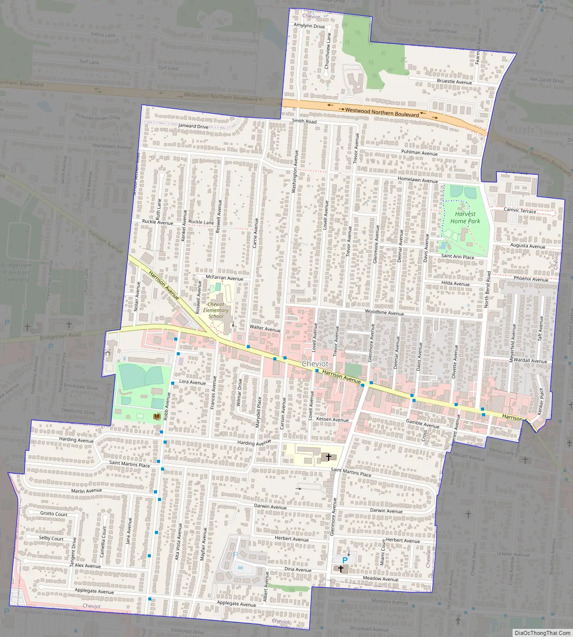
Cheviot Road Map
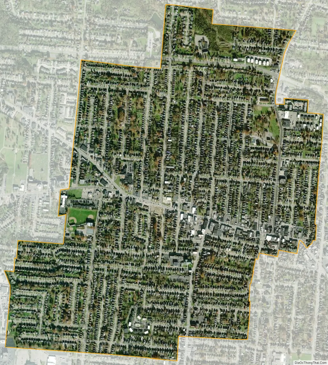
Cheviot city Satellite Map
Geography
Cheviot is located about 7 miles (11 km) northwest of downtown Cincinnati, at 39°9′28″N 84°36′45″W / 39.15778°N 84.61250°W / 39.15778; -84.61250 (39.157659, -84.612594). According to the United States Census Bureau, the city has a total area of 1.17 square miles (3.03 km), all land.
Climate
See also
Map of Ohio State and its subdivision:- Adams
- Allen
- Ashland
- Ashtabula
- Athens
- Auglaize
- Belmont
- Brown
- Butler
- Carroll
- Champaign
- Clark
- Clermont
- Clinton
- Columbiana
- Coshocton
- Crawford
- Cuyahoga
- Darke
- Defiance
- Delaware
- Erie
- Fairfield
- Fayette
- Franklin
- Fulton
- Gallia
- Geauga
- Greene
- Guernsey
- Hamilton
- Hancock
- Hardin
- Harrison
- Henry
- Highland
- Hocking
- Holmes
- Huron
- Jackson
- Jefferson
- Knox
- Lake
- Lake Erie
- Lawrence
- Licking
- Logan
- Lorain
- Lucas
- Madison
- Mahoning
- Marion
- Medina
- Meigs
- Mercer
- Miami
- Monroe
- Montgomery
- Morgan
- Morrow
- Muskingum
- Noble
- Ottawa
- Paulding
- Perry
- Pickaway
- Pike
- Portage
- Preble
- Putnam
- Richland
- Ross
- Sandusky
- Scioto
- Seneca
- Shelby
- Stark
- Summit
- Trumbull
- Tuscarawas
- Union
- Van Wert
- Vinton
- Warren
- Washington
- Wayne
- Williams
- Wood
- Wyandot
- Alabama
- Alaska
- Arizona
- Arkansas
- California
- Colorado
- Connecticut
- Delaware
- District of Columbia
- Florida
- Georgia
- Hawaii
- Idaho
- Illinois
- Indiana
- Iowa
- Kansas
- Kentucky
- Louisiana
- Maine
- Maryland
- Massachusetts
- Michigan
- Minnesota
- Mississippi
- Missouri
- Montana
- Nebraska
- Nevada
- New Hampshire
- New Jersey
- New Mexico
- New York
- North Carolina
- North Dakota
- Ohio
- Oklahoma
- Oregon
- Pennsylvania
- Rhode Island
- South Carolina
- South Dakota
- Tennessee
- Texas
- Utah
- Vermont
- Virginia
- Washington
- West Virginia
- Wisconsin
- Wyoming


