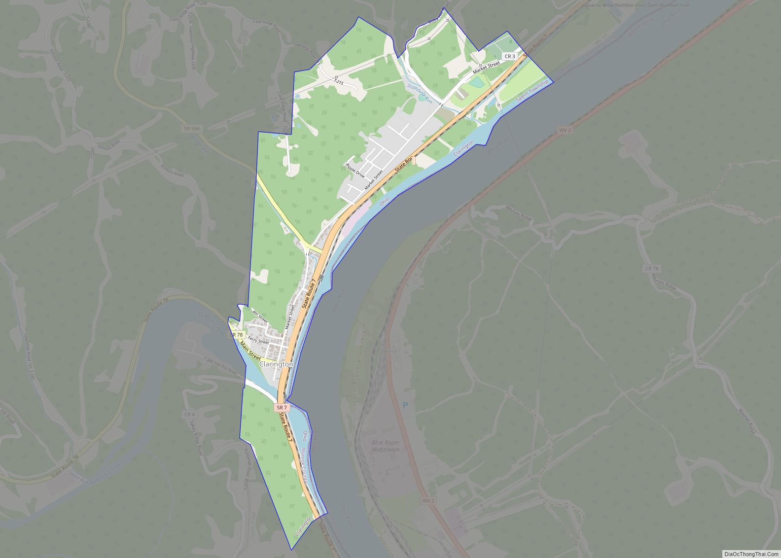
Clarington is a village in Monroe County, Ohio, United States, along the Ohio River. The population was 280 at the 2020 census.
| Name: | Clarington village |
|---|---|
| LSAD Code: | 47 |
| LSAD Description: | village (suffix) |
| State: | Ohio |
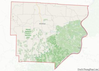
| County: | Monroe County |
| Elevation: | 633 ft (193 m) |
| Total Area: | 1.24 sq mi (3.22 km²) |
| Land Area: | 1.14 sq mi (2.96 km²) |
| Water Area: | 0.10 sq mi (0.26 km²) |
| Total Population: | 280 |
| Population Density: | 244.76/sq mi (94.49/km²) |
| ZIP code: | 43915 |
| Area code: | 740 |
| FIPS code: | 3915210 |
| GNISfeature ID: | 1056805 |
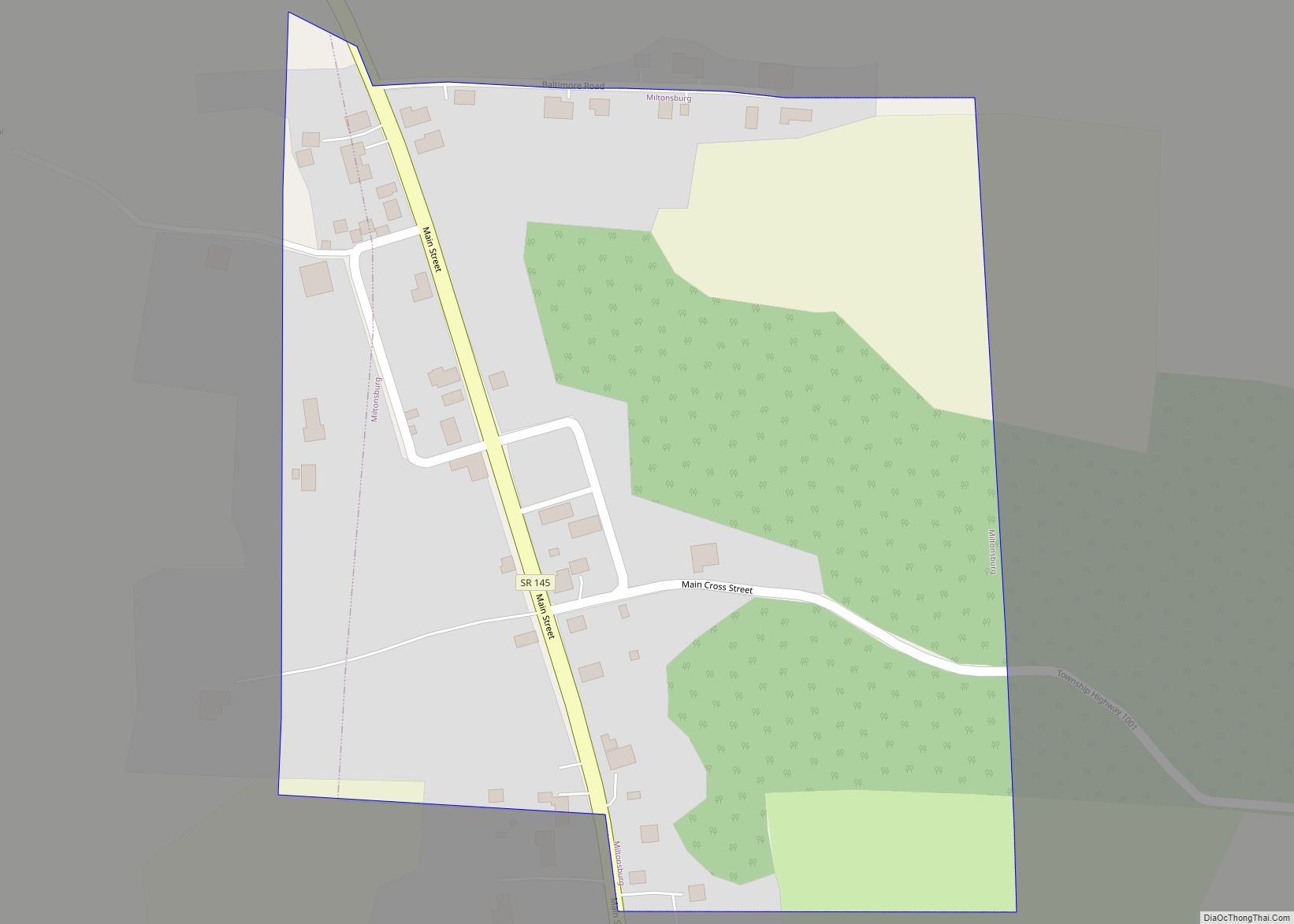
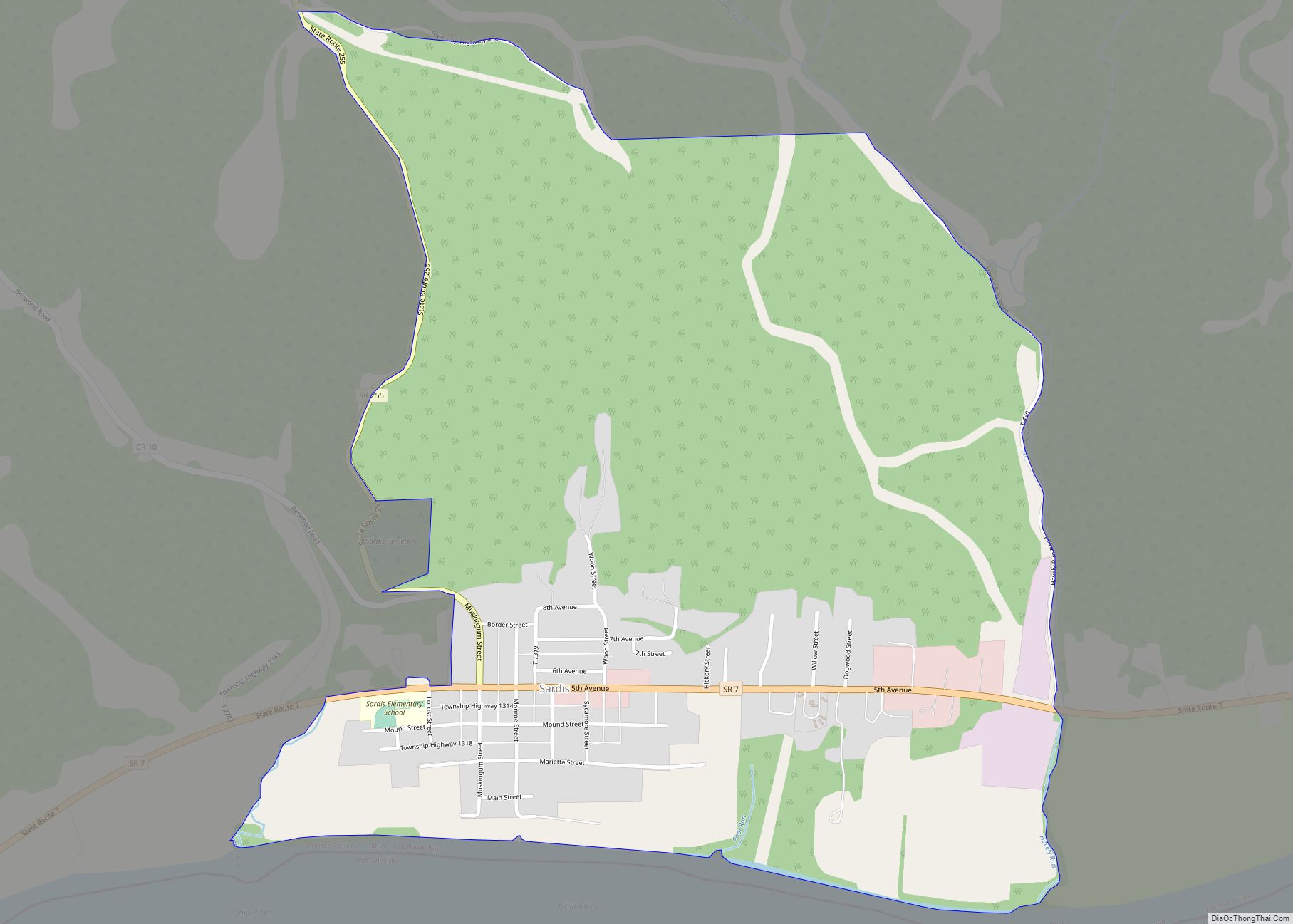
Online Interactive Map
Click on ![]() to view map in "full screen" mode.
to view map in "full screen" mode.
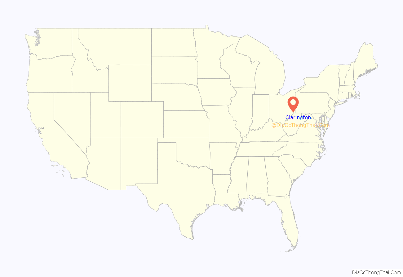
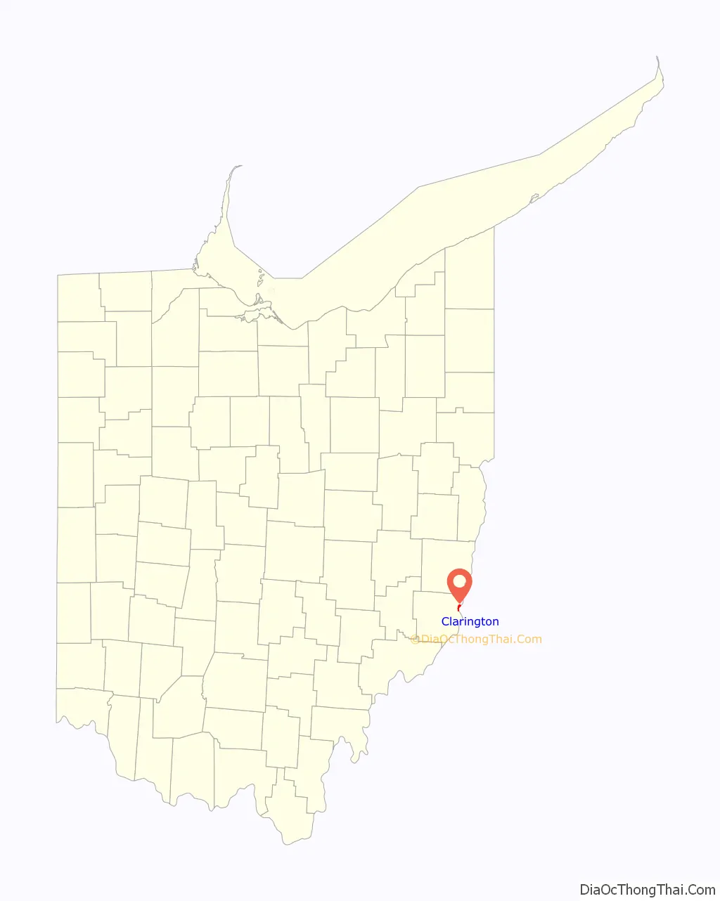
Clarington location map. Where is Clarington village?
History
Clarington was described in 1833 as having two stores, one tavern, one physician and ten residential houses.
During the mid-1800s, Clarington grew considerably and soon was a booming river port town with nearly 1,500 residents. The village boasted a cigar factory, blacksmith shop, restaurants, lodgings, and employed many residents at the local boat yard. Mozena Brothers Boat Yard designed and built many western river steam “packet-boats” on site in Clarington near the mouth of Sunfish Creek. Most famous of these boats was the 1912 built Liberty. A mural of the boat by artist Ruston Baker can be seen in town. By the late 1920s, boat building was on the decline and Mozena Brothers sold out to Cook Brothers & Thomas Boat Yard. Barges, small gas powered ferries, and other craft continued to be built in Clarington up to 1941. Geographically, Clarington was the last port on the Ohio River before crossing the Mason–Dixon line just a few miles south of the village. Noted author, river historian, and educator J. Mack Gamble was a lifelong resident of the town.
The non-profit Ohio Valley River Museum in Clarington serves to preserve and promote the history of Clarington’s past, western river steamboats, the impact of river industries, and the role it plays in future development. The current museum president is Taylor Abbott. Barbara Rush serves as director. The museum is operated by a nine-member board of directors.
In recent years, Clarington has become an epicenter of oil and gas activity after drilling discoveries of Utica and Marcellus gas formations. As of late 2014, Appalachian Resins had signed a letter of intent to lease 50 acres in Clarington. The Houston-based company plans to construct a $1 billion plant on the site that will use ethane, a component of natural gas, from the nearby Utica and Marcellus formations and break it down into ethylene. The project is considered a major development and boost to the economy of Monroe County following the closure of the Ormet aluminum plant.
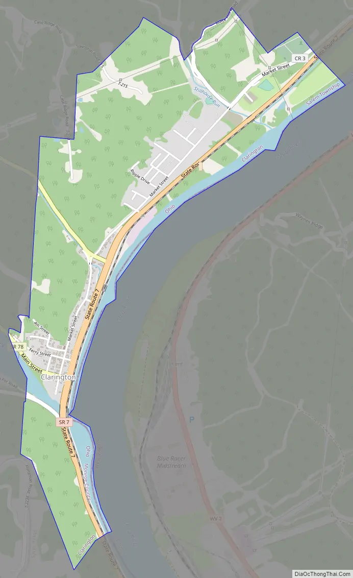
Clarington Road Map
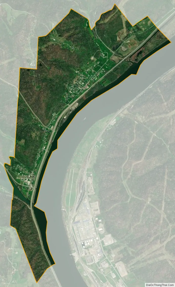
Clarington city Satellite Map
Geography
Clarington is located at 39°46′22″N 80°52′5″W / 39.77278°N 80.86806°W / 39.77278; -80.86806 (39.772655, -80.868008).
According to the United States Census Bureau, the village has a total area of 1.24 square miles (3.21 km), of which, 1.14 square miles (2.95 km) is land and 0.10 square miles (0.26 km) is water.
Climate
The climate in this area is characterized by relatively high temperatures and evenly distributed precipitation throughout the year. According to the Köppen Climate Classification system, Clarington has a Humid subtropical climate, abbreviated “Cfa” on climate maps.
See also
Map of Ohio State and its subdivision:- Adams
- Allen
- Ashland
- Ashtabula
- Athens
- Auglaize
- Belmont
- Brown
- Butler
- Carroll
- Champaign
- Clark
- Clermont
- Clinton
- Columbiana
- Coshocton
- Crawford
- Cuyahoga
- Darke
- Defiance
- Delaware
- Erie
- Fairfield
- Fayette
- Franklin
- Fulton
- Gallia
- Geauga
- Greene
- Guernsey
- Hamilton
- Hancock
- Hardin
- Harrison
- Henry
- Highland
- Hocking
- Holmes
- Huron
- Jackson
- Jefferson
- Knox
- Lake
- Lake Erie
- Lawrence
- Licking
- Logan
- Lorain
- Lucas
- Madison
- Mahoning
- Marion
- Medina
- Meigs
- Mercer
- Miami
- Monroe
- Montgomery
- Morgan
- Morrow
- Muskingum
- Noble
- Ottawa
- Paulding
- Perry
- Pickaway
- Pike
- Portage
- Preble
- Putnam
- Richland
- Ross
- Sandusky
- Scioto
- Seneca
- Shelby
- Stark
- Summit
- Trumbull
- Tuscarawas
- Union
- Van Wert
- Vinton
- Warren
- Washington
- Wayne
- Williams
- Wood
- Wyandot
- Alabama
- Alaska
- Arizona
- Arkansas
- California
- Colorado
- Connecticut
- Delaware
- District of Columbia
- Florida
- Georgia
- Hawaii
- Idaho
- Illinois
- Indiana
- Iowa
- Kansas
- Kentucky
- Louisiana
- Maine
- Maryland
- Massachusetts
- Michigan
- Minnesota
- Mississippi
- Missouri
- Montana
- Nebraska
- Nevada
- New Hampshire
- New Jersey
- New Mexico
- New York
- North Carolina
- North Dakota
- Ohio
- Oklahoma
- Oregon
- Pennsylvania
- Rhode Island
- South Carolina
- South Dakota
- Tennessee
- Texas
- Utah
- Vermont
- Virginia
- Washington
- West Virginia
- Wisconsin
- Wyoming