Cleveland Heights is a city in Cuyahoga County, Ohio, United States, and one of Cleveland’s historical streetcar suburbs. The city’s population was 45,312 at the 2020 census. As of the 2010 census, Cleveland Heights was ranked the 8th largest city by population in the Greater Cleveland area and ranked 20th in Ohio. It was founded as a village in 1903 and a city in 1921.
| Name: | Cleveland Heights city |
|---|---|
| LSAD Code: | 25 |
| LSAD Description: | city (suffix) |
| State: | Ohio |
| County: | Cuyahoga County |
| Founded: | 1903 (Village) |
| Elevation: | 942 ft (287 m) |
| Total Area: | 8.08 sq mi (20.94 km²) |
| Land Area: | 8.06 sq mi (20.89 km²) |
| Water Area: | 0.02 sq mi (0.05 km²) |
| Total Population: | 45,312 |
| Population Density: | 5,618.35/sq mi (2,169.15/km²) |
| ZIP code: | 44106, 44112, 44118, 44121 |
| Area code: | 216 |
| FIPS code: | 3916014 |
| GNISfeature ID: | 1048605 |
Online Interactive Map
Click on ![]() to view map in "full screen" mode.
to view map in "full screen" mode.
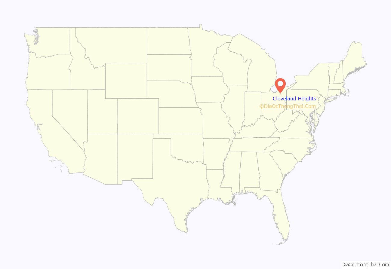
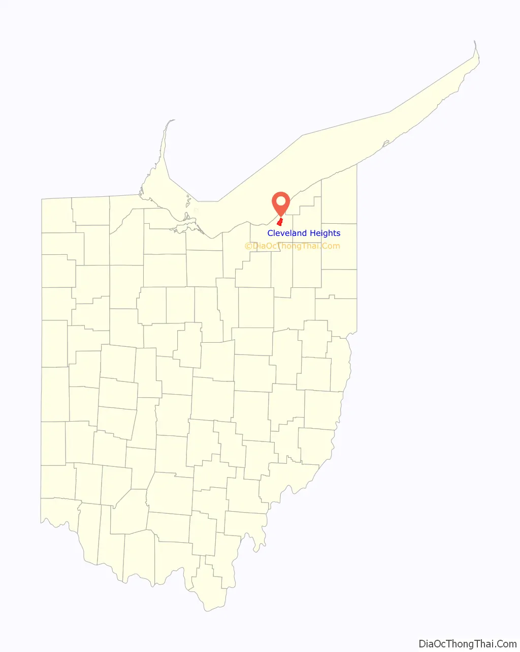
Cleveland Heights location map. Where is Cleveland Heights city?
History
The area that is now Cleveland Heights was settled later than most of Cuyahoga County. The first road through what is today the city, Mayfield Road, was not built until 1828. Some of the land was divided into farms, but It also had quarries in the 19th century. One of the early quarries was established by Duncan McFarland who mined bluestone. This led to the settlement that grew up around the quarry for the workers to live in to be referred to as Bluestone. There is still a road of this name in that area.
In 1873 John D. Rockefeller acquired about 700 acres (280 ha) in what is now the cities of East Cleveland and Cleveland, with his mansion itself in East Cleveland. Eventually some of the land, straddling both suburbs, was turned into residential developments and, in 1938, the family donated land which is now Forest Hill Park. There had been quarries within what is today Forest Hill Park previous to Rockefeller donating it to the city.
Rockefeller was not the only affluent Clevelander to come to what is now Cleveland Heights. The Euclid Heights development was created by Patrick Calhoun starting in 1892. It was centered around the Euclid Golf Course and began at the Cleveland city line, covering the area between Mayfield and Cedar roads as far east as Coventry Road. There was a streetcar line from this location running to the center of Cleveland’s business district.
In 1898 Marcus M. Brown began the development of Mayfield Heights along the south side of Mayfield Road and east of the current Coventry Road – taking advantage of the Mayfield Road streetcar. Brown had purchased this land from Emil Preyer and his sister Mary Preyer Hellwig. Emil was operator of a cedar mill.
By the end of 1899 the streetcar reached out along Mayfield Road to the old village of Fairmount. In 1903 the village of Cleveland Heights was incorporated. In 1910 Cleveland Heights had a population about 5,000 people. It had a population of 15,396 in 1920 and was incorporated as a city on August 9, 1921. Between 1920 and 1930, Cleveland Heights’ population more than tripled. By 1960 it had a population of 61,813.
In the 1950s, Cleveland Heights saw the influx of many Jewish people leaving Cleveland, particularly the Hough and Glenville neighborhoods. In 1961, 35% of the Jewish population of Cuyahoga County lived in Cleveland Heights. Although the Black population of Cleveland Heights was less than 1% in 1960, partially due to restrictive covenants, Black Clevelanders began to move into Cleveland Heights in the 1960s and 70s. This led to violence and pushback from some white citizens. However, organizations such as Heights Citizens For Human Rights and Heights Community Congress formed in the 1960s and 70s to protest violence against Black citizens, and promote integration in the city.
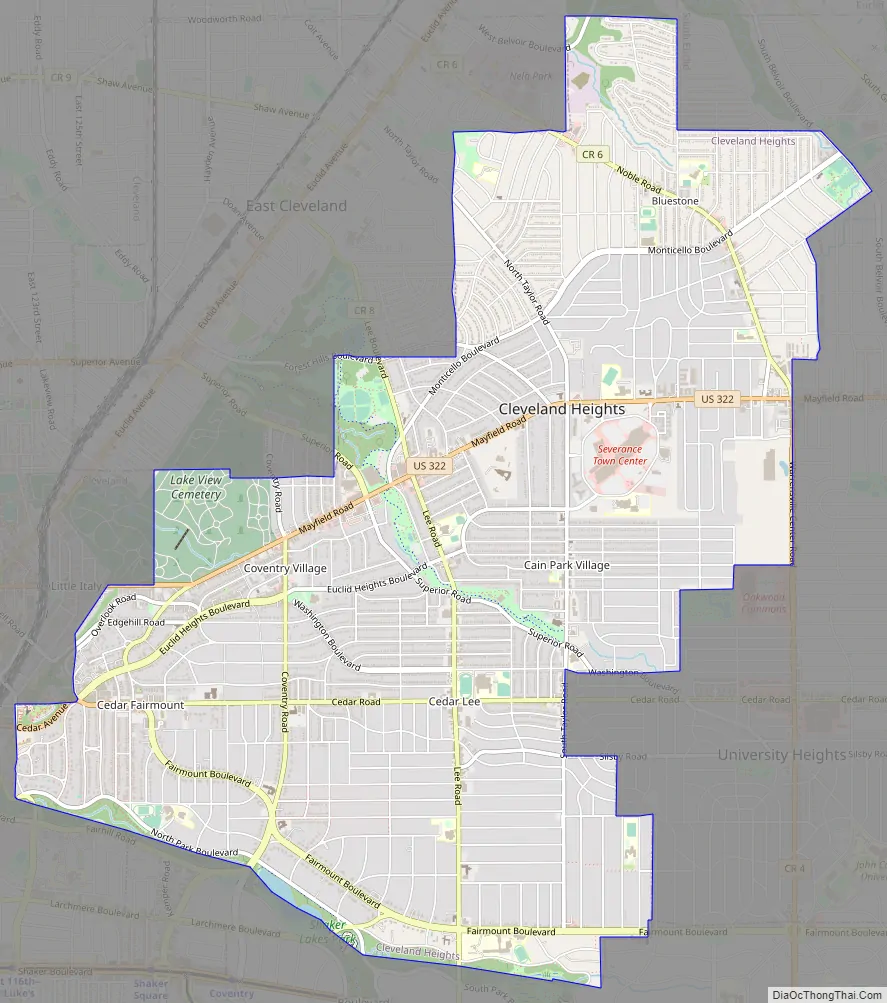
Cleveland Heights Road Map
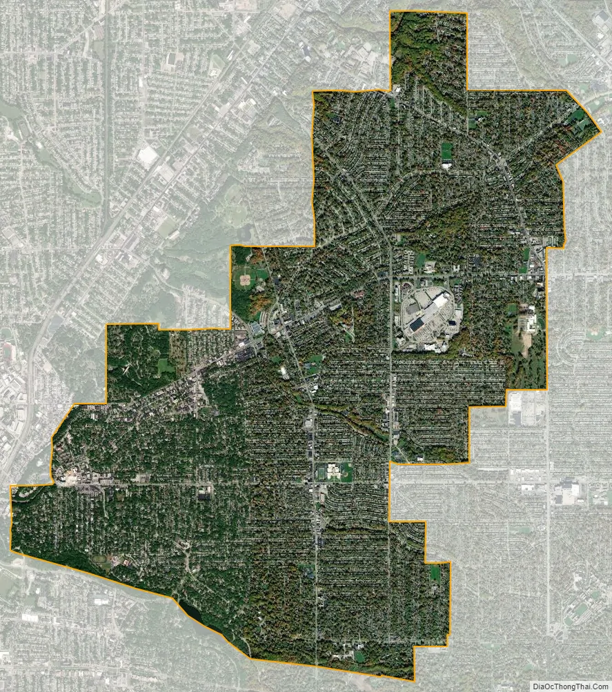
Cleveland Heights city Satellite Map
Geography
Cleveland Heights is located at 41°30′35″N 81°33′48″W / 41.50972°N 81.56333°W / 41.50972; -81.56333 (41.509652, -81.563301).
According to the United States Census Bureau, the city has a total area of 8.13 square miles (21.06 km), of which 8.11 square miles (21.00 km) is land and 0.02 square miles (0.05 km) is water. Cleveland Heights is made up of three watersheds, the Doan Brook Watershed, the Dugway Brook Watershed, and the Nine Mile Creek Watershed. Approximately 50% of Cleveland Heights is part of the Dugway Brook Watershed.
See also
Map of Ohio State and its subdivision:- Adams
- Allen
- Ashland
- Ashtabula
- Athens
- Auglaize
- Belmont
- Brown
- Butler
- Carroll
- Champaign
- Clark
- Clermont
- Clinton
- Columbiana
- Coshocton
- Crawford
- Cuyahoga
- Darke
- Defiance
- Delaware
- Erie
- Fairfield
- Fayette
- Franklin
- Fulton
- Gallia
- Geauga
- Greene
- Guernsey
- Hamilton
- Hancock
- Hardin
- Harrison
- Henry
- Highland
- Hocking
- Holmes
- Huron
- Jackson
- Jefferson
- Knox
- Lake
- Lake Erie
- Lawrence
- Licking
- Logan
- Lorain
- Lucas
- Madison
- Mahoning
- Marion
- Medina
- Meigs
- Mercer
- Miami
- Monroe
- Montgomery
- Morgan
- Morrow
- Muskingum
- Noble
- Ottawa
- Paulding
- Perry
- Pickaway
- Pike
- Portage
- Preble
- Putnam
- Richland
- Ross
- Sandusky
- Scioto
- Seneca
- Shelby
- Stark
- Summit
- Trumbull
- Tuscarawas
- Union
- Van Wert
- Vinton
- Warren
- Washington
- Wayne
- Williams
- Wood
- Wyandot
- Alabama
- Alaska
- Arizona
- Arkansas
- California
- Colorado
- Connecticut
- Delaware
- District of Columbia
- Florida
- Georgia
- Hawaii
- Idaho
- Illinois
- Indiana
- Iowa
- Kansas
- Kentucky
- Louisiana
- Maine
- Maryland
- Massachusetts
- Michigan
- Minnesota
- Mississippi
- Missouri
- Montana
- Nebraska
- Nevada
- New Hampshire
- New Jersey
- New Mexico
- New York
- North Carolina
- North Dakota
- Ohio
- Oklahoma
- Oregon
- Pennsylvania
- Rhode Island
- South Carolina
- South Dakota
- Tennessee
- Texas
- Utah
- Vermont
- Virginia
- Washington
- West Virginia
- Wisconsin
- Wyoming


