Clyde /ˈklaɪd/ is a city in Sandusky County, Ohio, located eight miles southeast of Fremont. The population was 6,325 at the time of the 2010 census. The National Arbor Day Foundation has designated Clyde as a Tree City USA.
The town is known for having served as inspiration for the setting of Sherwood Anderson’s 1919 collection of short stories Winesburg, Ohio.
| Name: | Clyde city |
|---|---|
| LSAD Code: | 25 |
| LSAD Description: | city (suffix) |
| State: | Ohio |
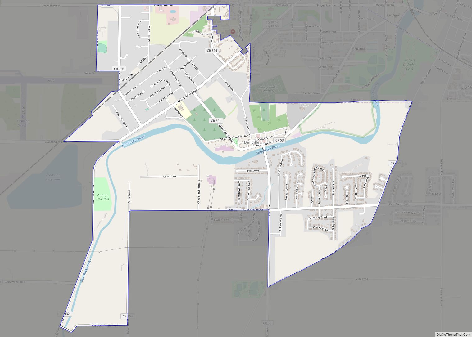
| County: | Sandusky County |
| Elevation: | 696 ft (212 m) |
| Total Area: | 5.28 sq mi (13.67 km²) |
| Land Area: | 5.22 sq mi (13.53 km²) |
| Water Area: | 0.05 sq mi (0.13 km²) |
| Total Population: | 6,294 |
| Population Density: | 1,204.59/sq mi (465.07/km²) |
| ZIP code: | 43410 |
| Area code: | 419 |
| FIPS code: | 3916308 |
| GNISfeature ID: | 1056817 |
| Website: | https://clydeohio.org |
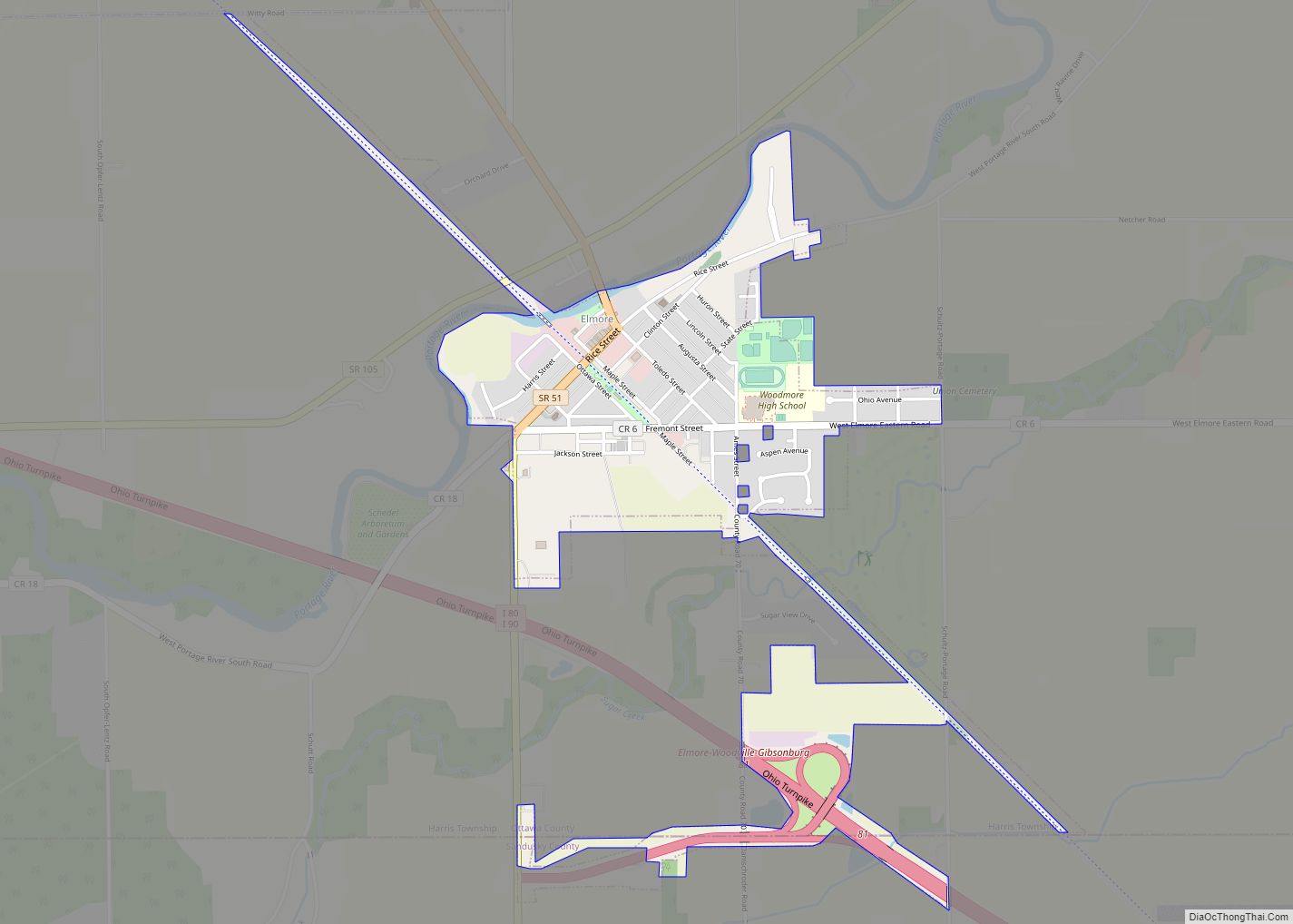
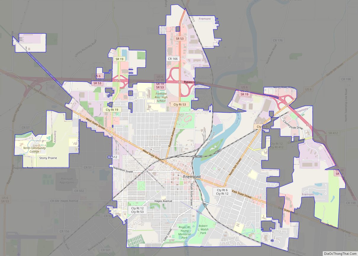
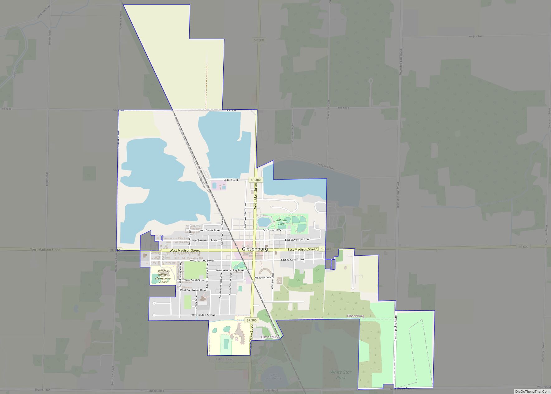
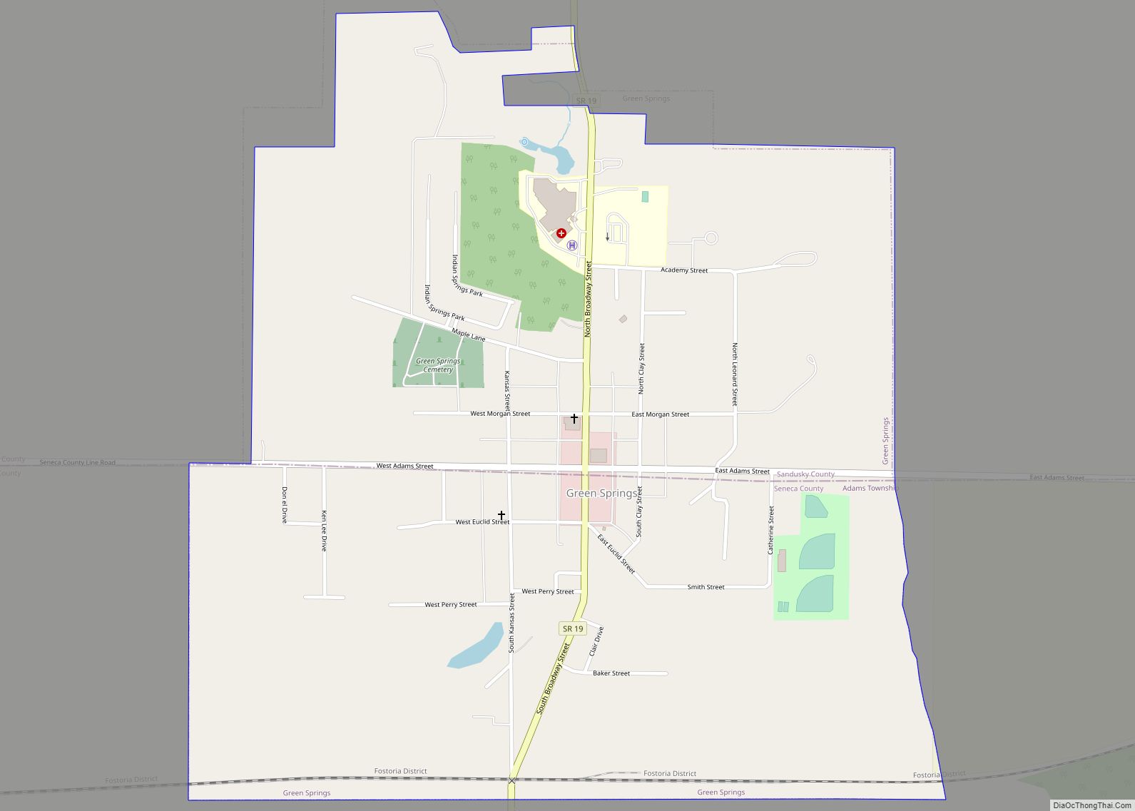
Online Interactive Map
Click on ![]() to view map in "full screen" mode.
to view map in "full screen" mode.
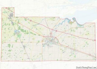
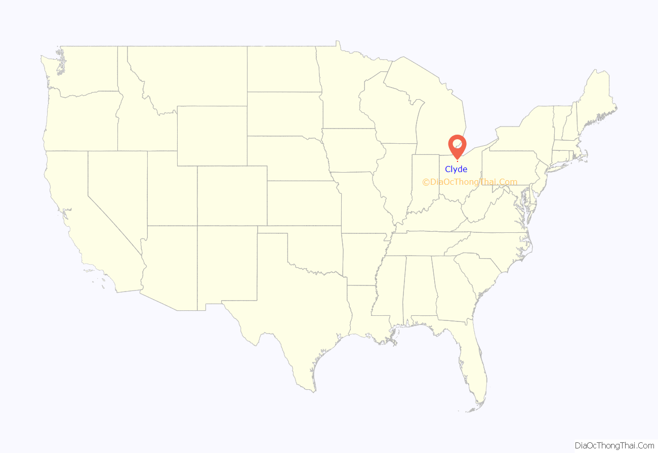
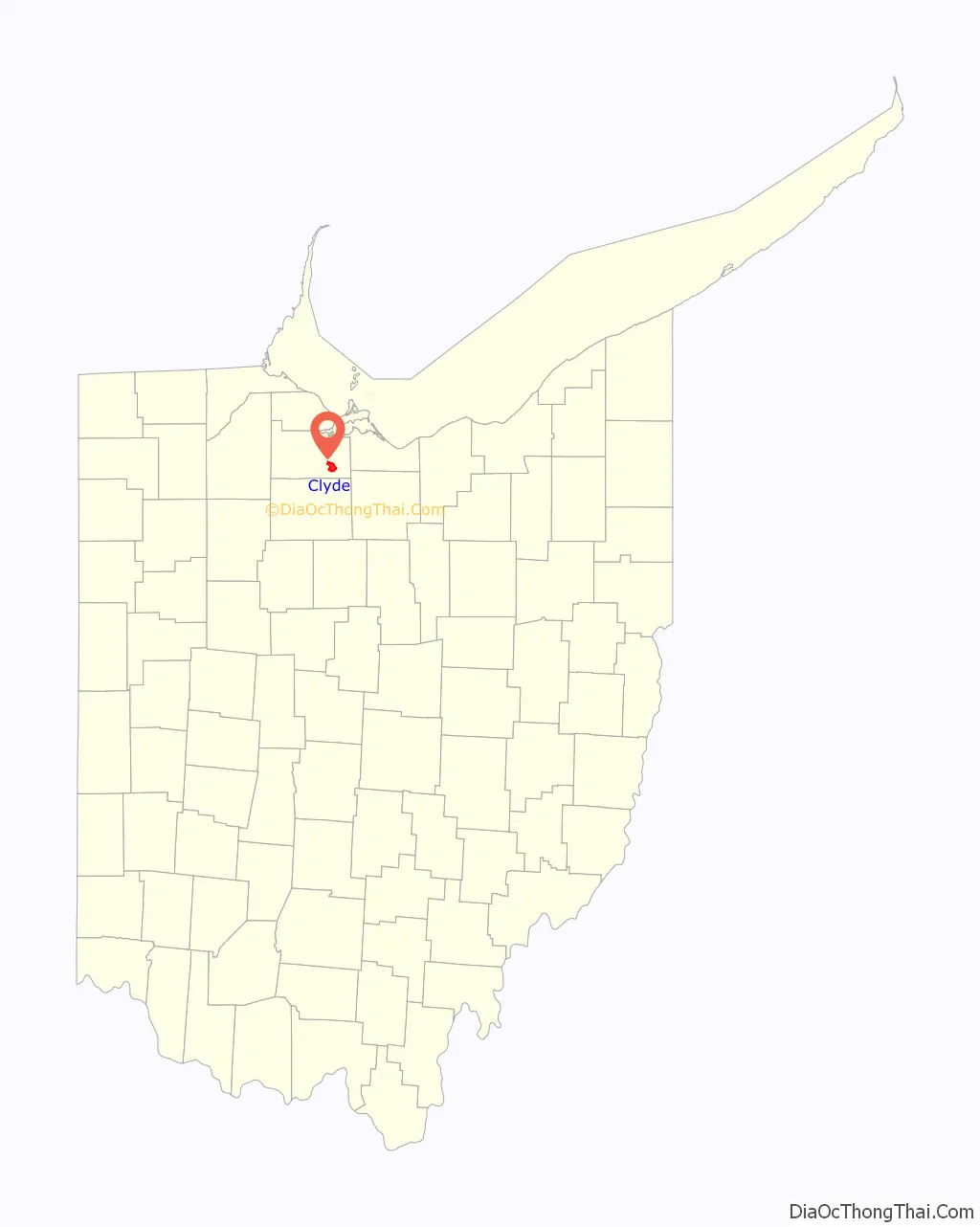
Clyde location map. Where is Clyde city?
History
In the 1700s, the area of Ohio, including present-day Clyde, was inhabited by the Wyandot tribe. The distinction of first settler of Clyde goes to Jesse Benton. Claims that the first settler was Samuel Pogue are not entirely wrong as sometime during the war of 1812, Pogue drove a stake near the spring in the west part of Clyde with the intention of settling there after the war concluded. When Pogue returned in 1820 to take formal possession of the land, he found Jesse Benton had already built a cabin on the land. Shortly after Pogues arrival, Benton ceded his claim of the land to Pogue for a barrel of whiskey. Pogue lived in the Benton cabin until his death in 1828.
Clyde was named after Clyde, New York.
Early in the 20th Century, Clyde joined the automobile revolution, hosting the pioneering brass era company, Elmore Manufacturing Company. Elmore was taken over by General Motors in 1909 and operations were moved to Detroit in 1919. However, Louis Krebs resigned from Elmore when General Motors took over and formed his own company which later became the Clydesdale Motor Truck Company. After General Motors moved out, Krebs acquired their site in Clyde for his own operations. The buildings, by this time owned by Clyde Porcelain Steel, burned down on November 11, 1945.
The Whirlpool Corporation purchased the Clyde Porcelain Steel Co. in 1952. It began producing washing machines there and then purchased the adjacent property of the Bendix Corporation in 1954, which produced belt-driven washing machines, making it the sole producer of washing machines in the area for the next six decades.
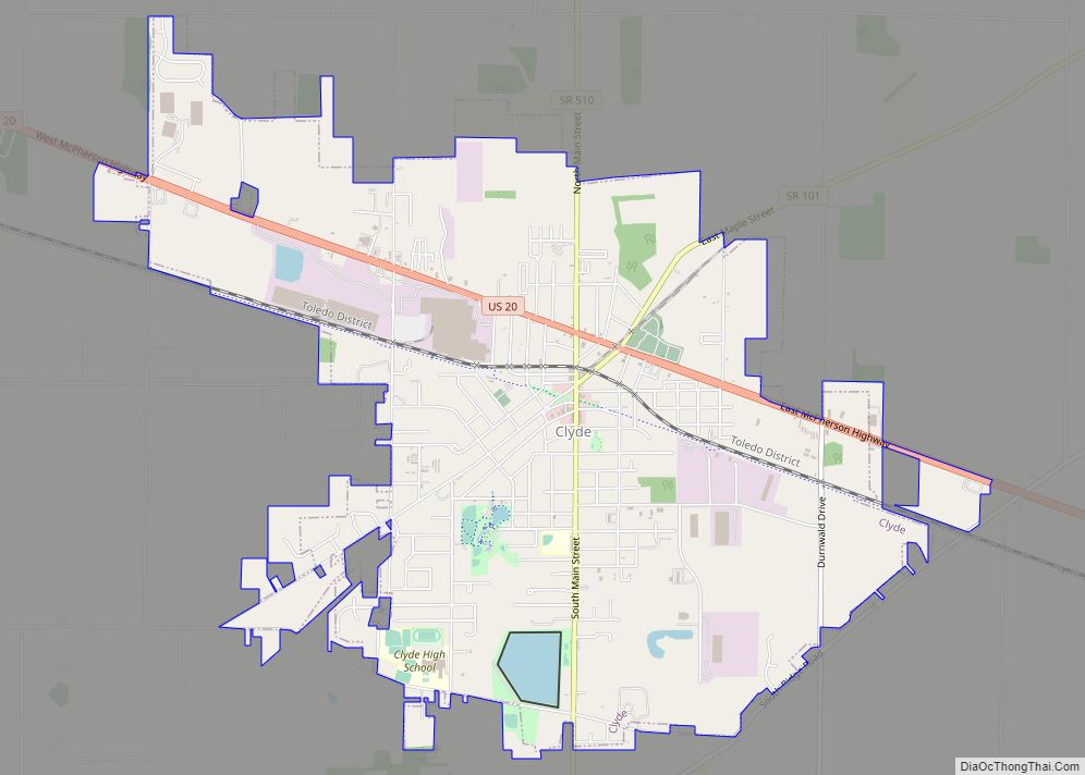
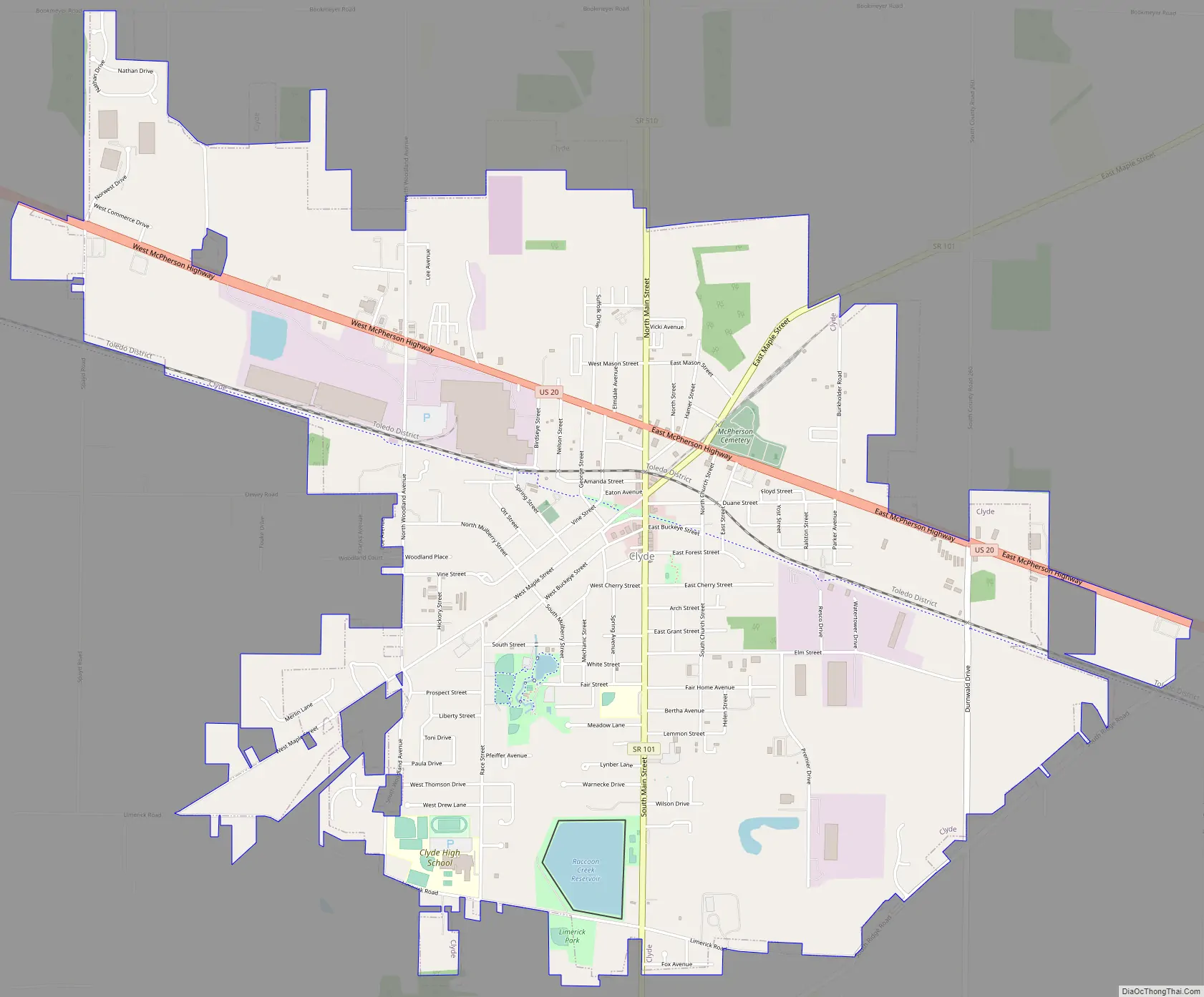
Clyde Road Map
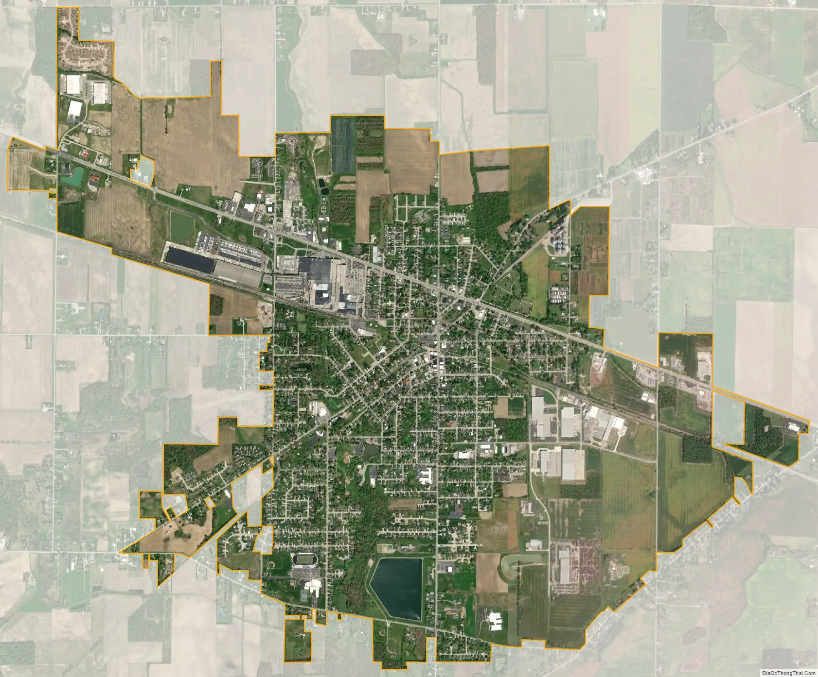
Clyde city Satellite Map
Geography
Clyde is located at 41°18′18″N 82°58′36″W / 41.30500°N 82.97667°W / 41.30500; -82.97667 (41.304912, -82.976529).
According to the United States Census Bureau, the city has a total area of 5.09 square miles (13.18 km), of which 5.04 square miles (13.05 km) is land and 0.05 square miles (0.13 km) is water.
See also
Map of Ohio State and its subdivision:- Adams
- Allen
- Ashland
- Ashtabula
- Athens
- Auglaize
- Belmont
- Brown
- Butler
- Carroll
- Champaign
- Clark
- Clermont
- Clinton
- Columbiana
- Coshocton
- Crawford
- Cuyahoga
- Darke
- Defiance
- Delaware
- Erie
- Fairfield
- Fayette
- Franklin
- Fulton
- Gallia
- Geauga
- Greene
- Guernsey
- Hamilton
- Hancock
- Hardin
- Harrison
- Henry
- Highland
- Hocking
- Holmes
- Huron
- Jackson
- Jefferson
- Knox
- Lake
- Lake Erie
- Lawrence
- Licking
- Logan
- Lorain
- Lucas
- Madison
- Mahoning
- Marion
- Medina
- Meigs
- Mercer
- Miami
- Monroe
- Montgomery
- Morgan
- Morrow
- Muskingum
- Noble
- Ottawa
- Paulding
- Perry
- Pickaway
- Pike
- Portage
- Preble
- Putnam
- Richland
- Ross
- Sandusky
- Scioto
- Seneca
- Shelby
- Stark
- Summit
- Trumbull
- Tuscarawas
- Union
- Van Wert
- Vinton
- Warren
- Washington
- Wayne
- Williams
- Wood
- Wyandot
- Alabama
- Alaska
- Arizona
- Arkansas
- California
- Colorado
- Connecticut
- Delaware
- District of Columbia
- Florida
- Georgia
- Hawaii
- Idaho
- Illinois
- Indiana
- Iowa
- Kansas
- Kentucky
- Louisiana
- Maine
- Maryland
- Massachusetts
- Michigan
- Minnesota
- Mississippi
- Missouri
- Montana
- Nebraska
- Nevada
- New Hampshire
- New Jersey
- New Mexico
- New York
- North Carolina
- North Dakota
- Ohio
- Oklahoma
- Oregon
- Pennsylvania
- Rhode Island
- South Carolina
- South Dakota
- Tennessee
- Texas
- Utah
- Vermont
- Virginia
- Washington
- West Virginia
- Wisconsin
- Wyoming