Connorville is an unincorporated community and census-designated place in southern Jefferson County, Ohio. The population was 160 at the 2020 census. It is part of the Weirton–Steubenville metropolitan area.
| Name: | Connorville CDP |
|---|---|
| LSAD Code: | 57 |
| LSAD Description: | CDP (suffix) |
| State: | Ohio |
| County: | Jefferson County |
| Elevation: | 680 ft (210 m) |
| Total Area: | 0.42 sq mi (1.08 km²) |
| Land Area: | 0.42 sq mi (1.08 km²) |
| Water Area: | 0.00 sq mi (0.00 km²) |
| Total Population: | 160 |
| Population Density: | 382.78/sq mi (147.63/km²) |
| Area code: | 740 |
| FIPS code: | 3918420 |
Online Interactive Map
Click on ![]() to view map in "full screen" mode.
to view map in "full screen" mode.
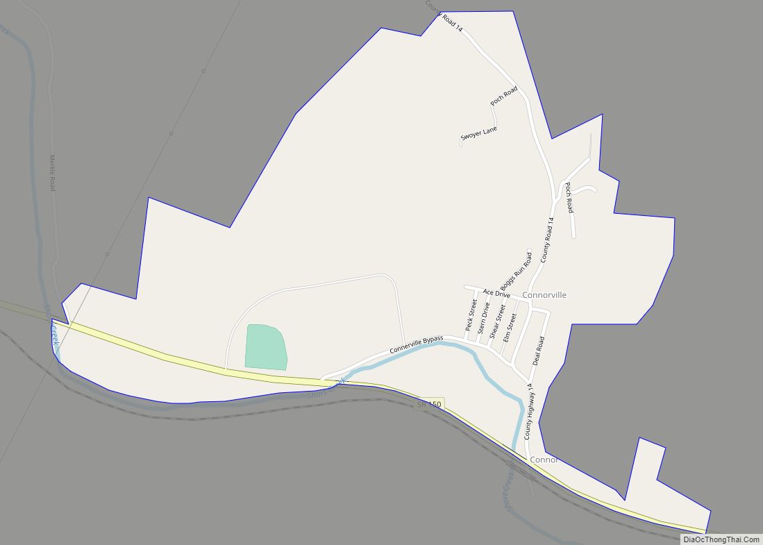
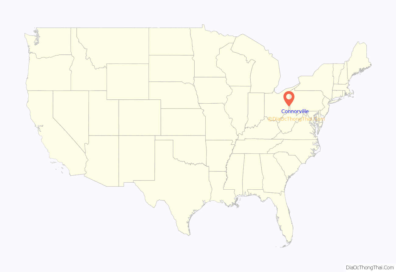
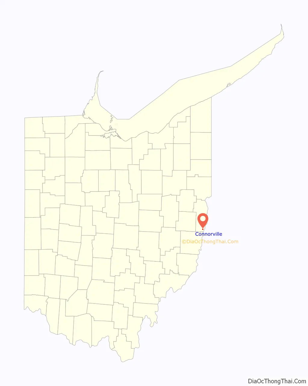
Connorville location map. Where is Connorville CDP?
History
Connorville originally had a coal mine employing 60 men. A post office called Connorville was established in 1899, and remained in operation until 1958. Besides the post office, Connorville had a country store. The community was first listed as a census-designated place prior to the 2020 census.
Connorville Road Map
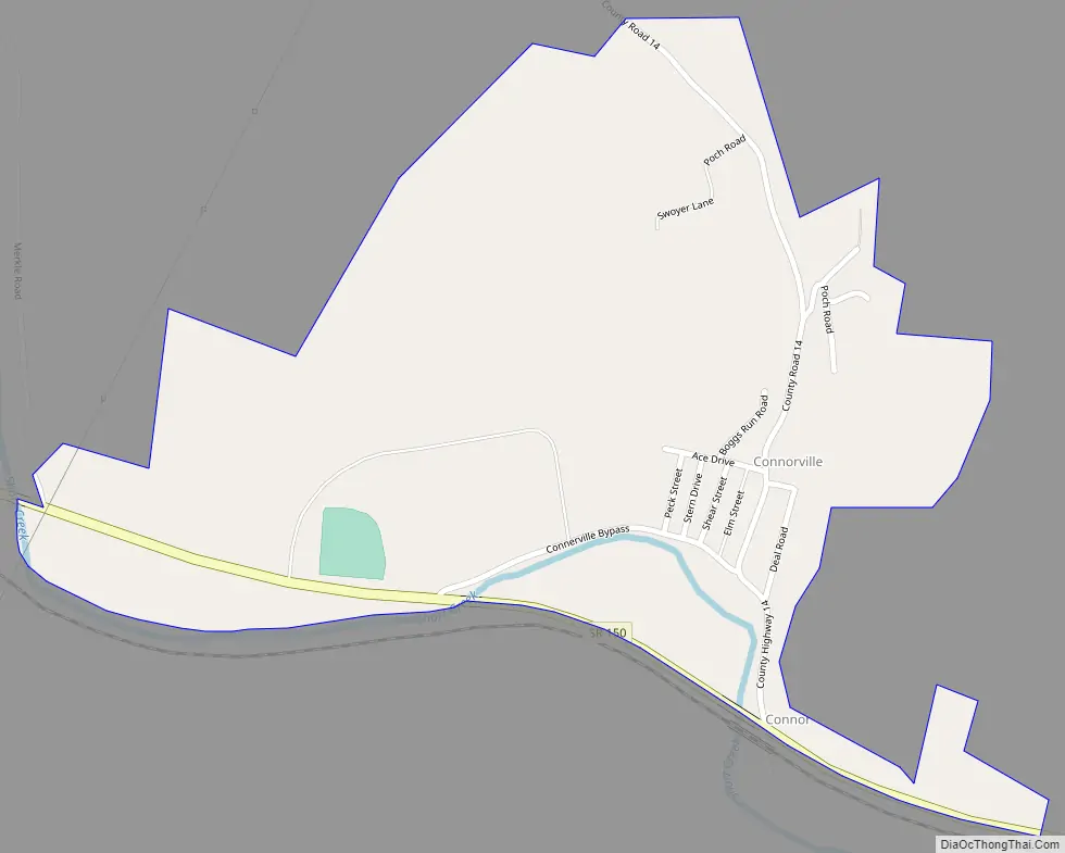
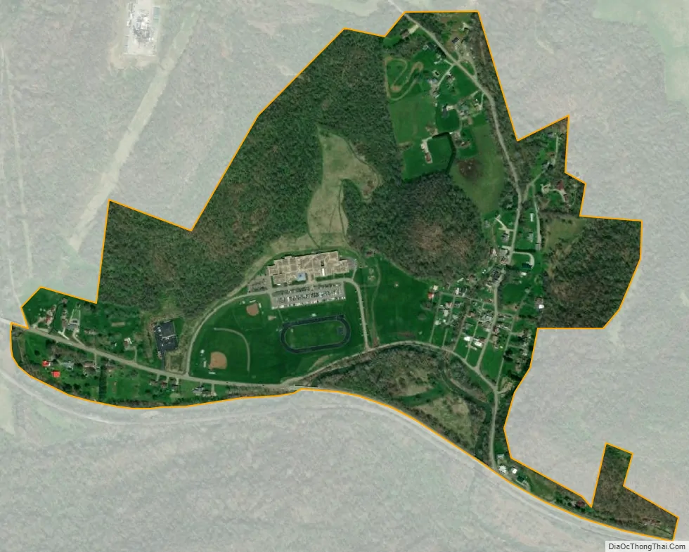
Connorville city Satellite Map
Geography
Connorville is in southern Jefferson County, in the center of Warren Township. Ohio State Route 150 runs along the southern side of the community, leading east 1.5 miles (2.4 km) to Rayland and west 5 miles (8 km) to Dillonvale. Connorville is in the valley of Short Creek, which flows east to the Ohio River at Rayland.
See also
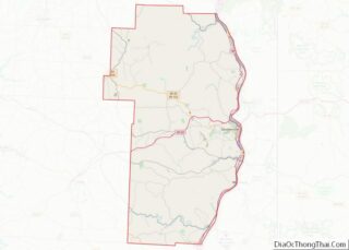
Map of Ohio State and its subdivision:- Adams
- Allen
- Ashland
- Ashtabula
- Athens
- Auglaize
- Belmont
- Brown
- Butler
- Carroll
- Champaign
- Clark
- Clermont
- Clinton
- Columbiana
- Coshocton
- Crawford
- Cuyahoga
- Darke
- Defiance
- Delaware
- Erie
- Fairfield
- Fayette
- Franklin
- Fulton
- Gallia
- Geauga
- Greene
- Guernsey
- Hamilton
- Hancock
- Hardin
- Harrison
- Henry
- Highland
- Hocking
- Holmes
- Huron
- Jackson
- Jefferson
- Knox
- Lake
- Lake Erie
- Lawrence
- Licking
- Logan
- Lorain
- Lucas
- Madison
- Mahoning
- Marion
- Medina
- Meigs
- Mercer
- Miami
- Monroe
- Montgomery
- Morgan
- Morrow
- Muskingum
- Noble
- Ottawa
- Paulding
- Perry
- Pickaway
- Pike
- Portage
- Preble
- Putnam
- Richland
- Ross
- Sandusky
- Scioto
- Seneca
- Shelby
- Stark
- Summit
- Trumbull
- Tuscarawas
- Union
- Van Wert
- Vinton
- Warren
- Washington
- Wayne
- Williams
- Wood
- Wyandot
- Alabama
- Alaska
- Arizona
- Arkansas
- California
- Colorado
- Connecticut
- Delaware
- District of Columbia
- Florida
- Georgia
- Hawaii
- Idaho
- Illinois
- Indiana
- Iowa
- Kansas
- Kentucky
- Louisiana
- Maine
- Maryland
- Massachusetts
- Michigan
- Minnesota
- Mississippi
- Missouri
- Montana
- Nebraska
- Nevada
- New Hampshire
- New Jersey
- New Mexico
- New York
- North Carolina
- North Dakota
- Ohio
- Oklahoma
- Oregon
- Pennsylvania
- Rhode Island
- South Carolina
- South Dakota
- Tennessee
- Texas
- Utah
- Vermont
- Virginia
- Washington
- West Virginia
- Wisconsin
- Wyoming