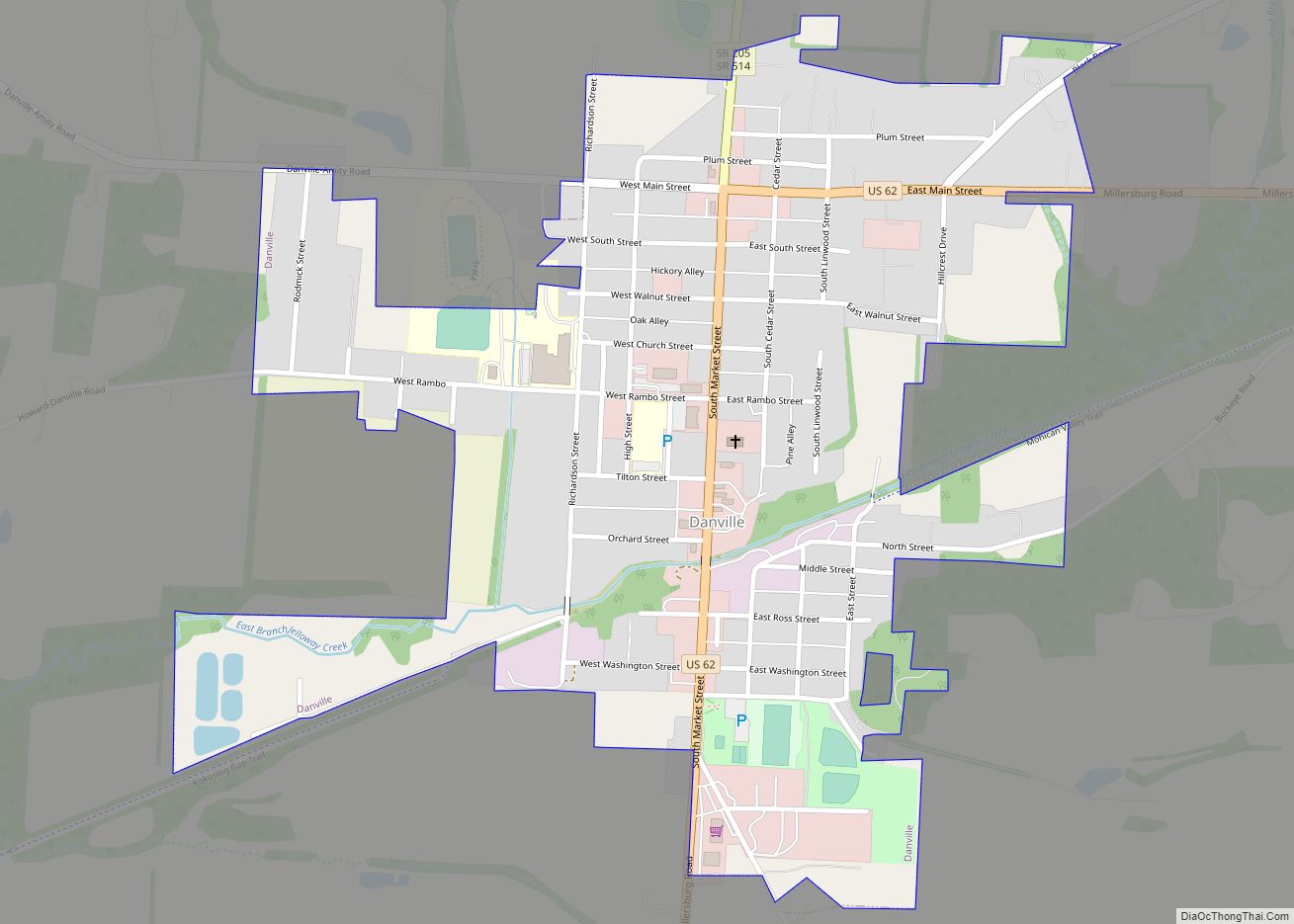
Danville is a village in Knox County, Ohio, United States. The population was 1,044 at the 2010 census.
| Name: | Danville village |
|---|---|
| LSAD Code: | 47 |
| LSAD Description: | village (suffix) |
| State: | Ohio |
| County: | Knox County |
| Elevation: | 994 ft (303 m) |
| Total Area: | 0.60 sq mi (1.54 km²) |
| Land Area: | 0.59 sq mi (1.53 km²) |
| Water Area: | 0.01 sq mi (0.01 km²) |
| Total Population: | 1,019 |
| Population Density: | 1,724.20/sq mi (666.24/km²) |
| ZIP code: | 43014 |
| Area code: | 740 |
| FIPS code: | 3920114 |
| GNISfeature ID: | 1039574 |
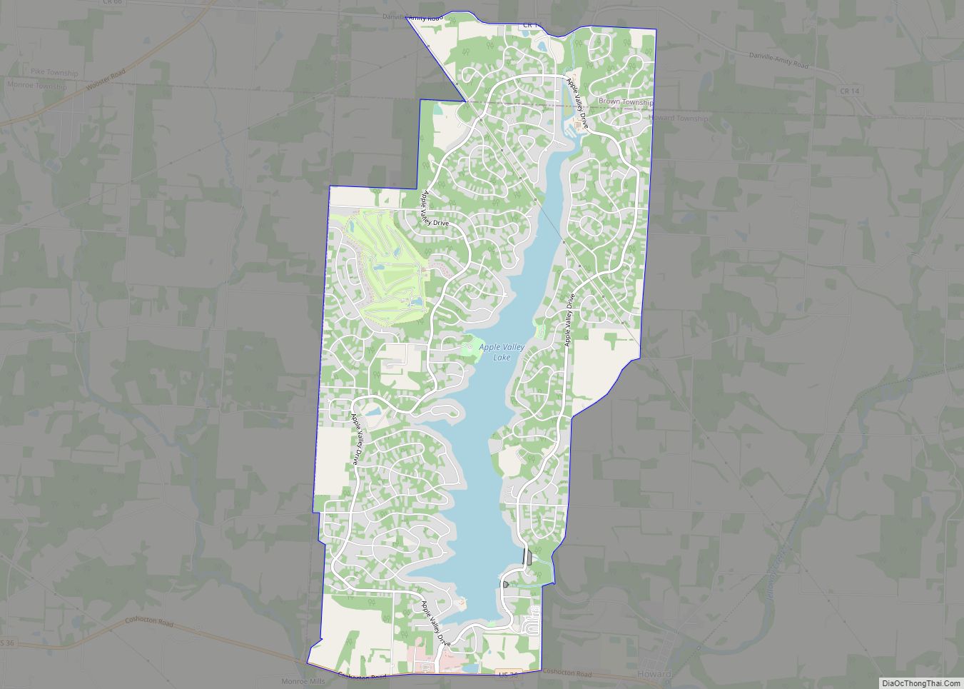
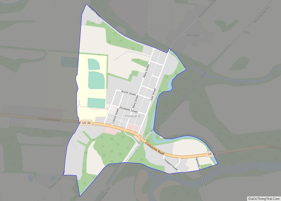
Online Interactive Map
Click on ![]() to view map in "full screen" mode.
to view map in "full screen" mode.
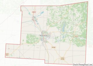
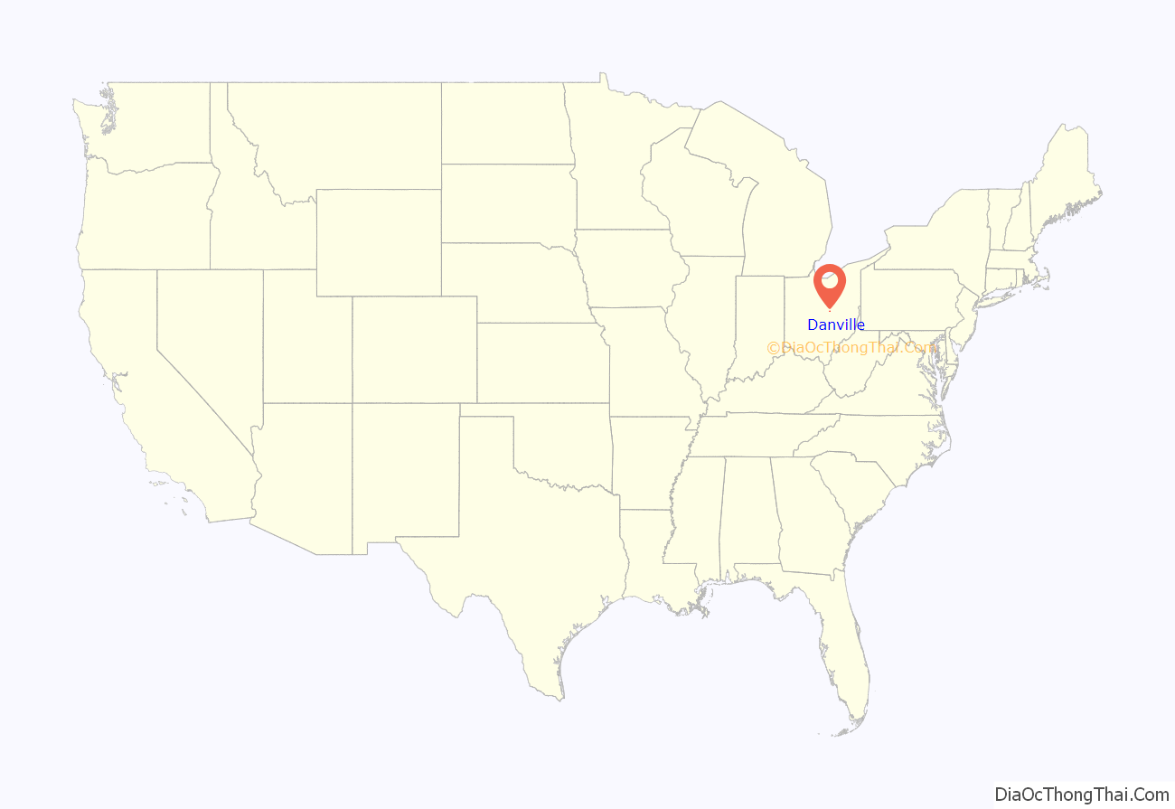
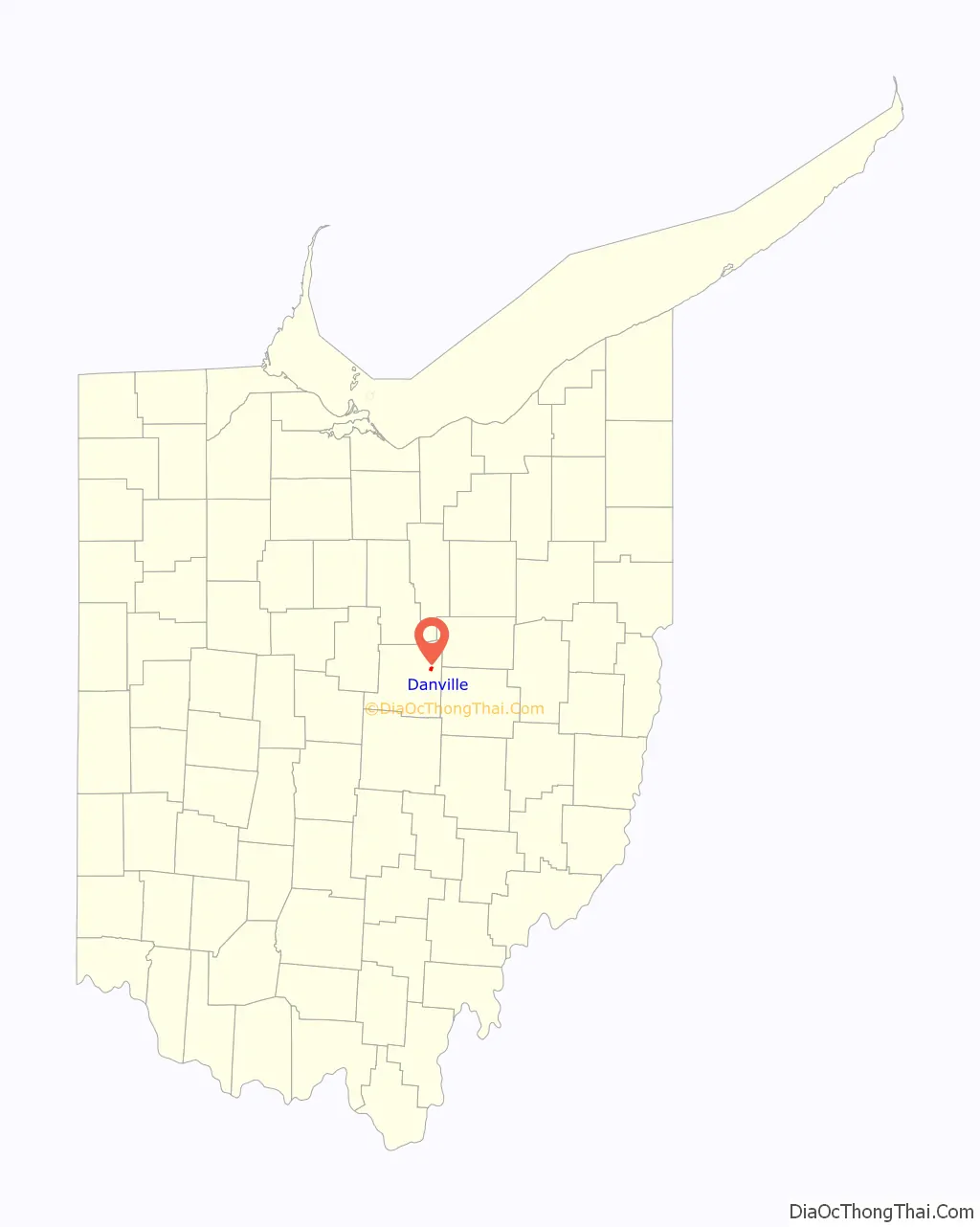
Danville location map. Where is Danville village?
History
Modern Danville had its start in 1923 by the merging of two neighboring villages called Buckeye City and Rosstown (Rossville). The original Danville was laid out by George Sapp, Sr. and Robert Waddell in 1813 and was named for Daniel Sapp, a soldier in the War of 1812.
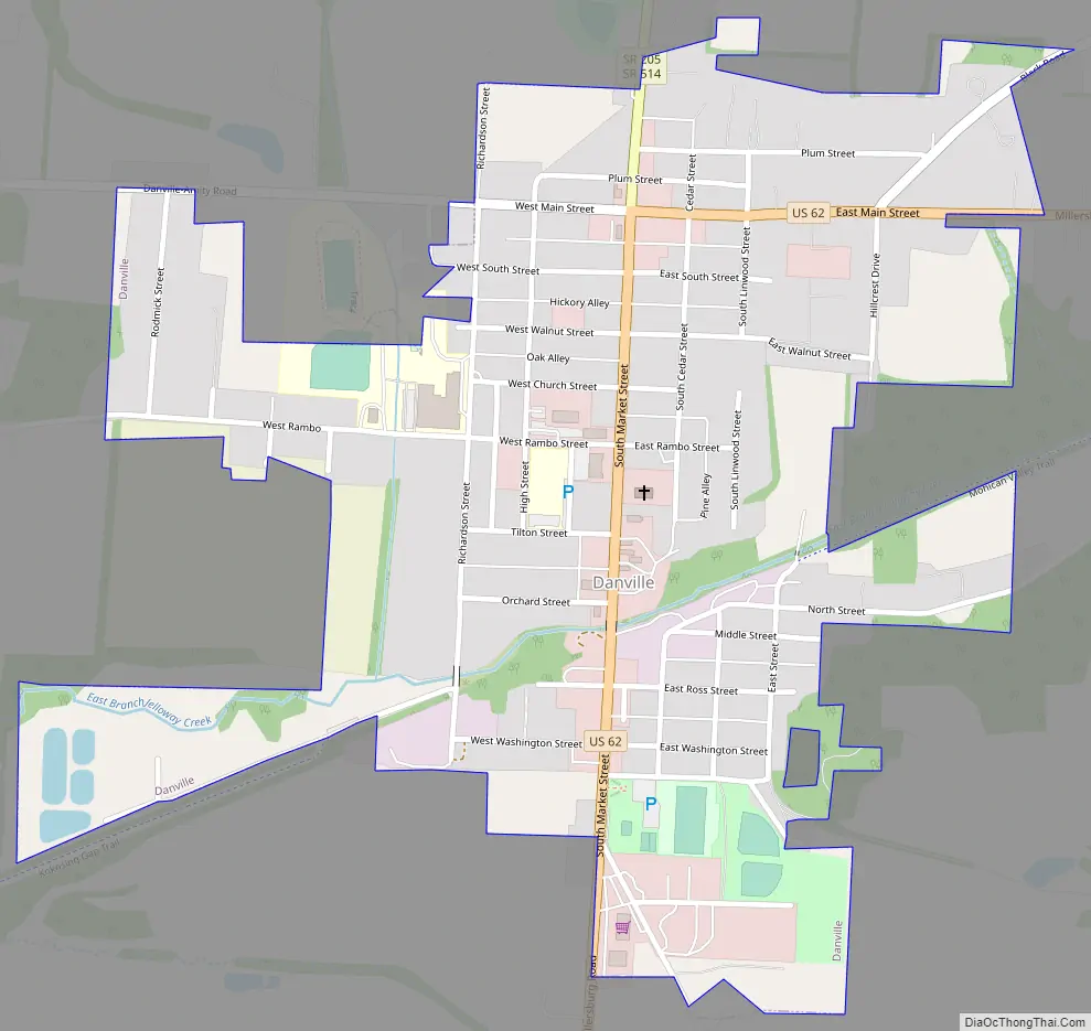
Danville Road Map
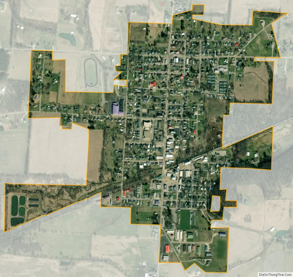
Danville city Satellite Map
Geography
According to the United States Census Bureau, the village has a total area of 0.56 square miles (1.45 km), of which 0.55 square miles (1.42 km) is land and 0.01 square miles (0.03 km) is water.
Buckeye City is a neighborhood of Danville. Buckeye City was laid out in 1880, and was annexed by the village of Danville in 1923.
See also
Map of Ohio State and its subdivision:- Adams
- Allen
- Ashland
- Ashtabula
- Athens
- Auglaize
- Belmont
- Brown
- Butler
- Carroll
- Champaign
- Clark
- Clermont
- Clinton
- Columbiana
- Coshocton
- Crawford
- Cuyahoga
- Darke
- Defiance
- Delaware
- Erie
- Fairfield
- Fayette
- Franklin
- Fulton
- Gallia
- Geauga
- Greene
- Guernsey
- Hamilton
- Hancock
- Hardin
- Harrison
- Henry
- Highland
- Hocking
- Holmes
- Huron
- Jackson
- Jefferson
- Knox
- Lake
- Lake Erie
- Lawrence
- Licking
- Logan
- Lorain
- Lucas
- Madison
- Mahoning
- Marion
- Medina
- Meigs
- Mercer
- Miami
- Monroe
- Montgomery
- Morgan
- Morrow
- Muskingum
- Noble
- Ottawa
- Paulding
- Perry
- Pickaway
- Pike
- Portage
- Preble
- Putnam
- Richland
- Ross
- Sandusky
- Scioto
- Seneca
- Shelby
- Stark
- Summit
- Trumbull
- Tuscarawas
- Union
- Van Wert
- Vinton
- Warren
- Washington
- Wayne
- Williams
- Wood
- Wyandot
- Alabama
- Alaska
- Arizona
- Arkansas
- California
- Colorado
- Connecticut
- Delaware
- District of Columbia
- Florida
- Georgia
- Hawaii
- Idaho
- Illinois
- Indiana
- Iowa
- Kansas
- Kentucky
- Louisiana
- Maine
- Maryland
- Massachusetts
- Michigan
- Minnesota
- Mississippi
- Missouri
- Montana
- Nebraska
- Nevada
- New Hampshire
- New Jersey
- New Mexico
- New York
- North Carolina
- North Dakota
- Ohio
- Oklahoma
- Oregon
- Pennsylvania
- Rhode Island
- South Carolina
- South Dakota
- Tennessee
- Texas
- Utah
- Vermont
- Virginia
- Washington
- West Virginia
- Wisconsin
- Wyoming