Dent is a census-designated place (CDP) in Green Township, Hamilton County, Ohio, United States. The population was 12,301 at the 2020 census.
| Name: | Dent CDP |
|---|---|
| LSAD Code: | 57 |
| LSAD Description: | CDP (suffix) |
| State: | Ohio |
| County: | Hamilton County |
| Elevation: | 843 ft (257 m) |
| Total Area: | 6.25 sq mi (16.20 km²) |
| Land Area: | 6.25 sq mi (16.20 km²) |
| Water Area: | 0.00 sq mi (0.00 km²) |
| Total Population: | 12,301 |
| Population Density: | 1,966.90/sq mi (759.45/km²) |
| ZIP code: | 45247-45248 |
| Area code: | 513 |
| FIPS code: | 3921742 |
| GNISfeature ID: | 1064530 |
Online Interactive Map
Click on ![]() to view map in "full screen" mode.
to view map in "full screen" mode.
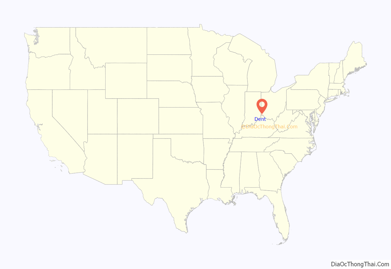
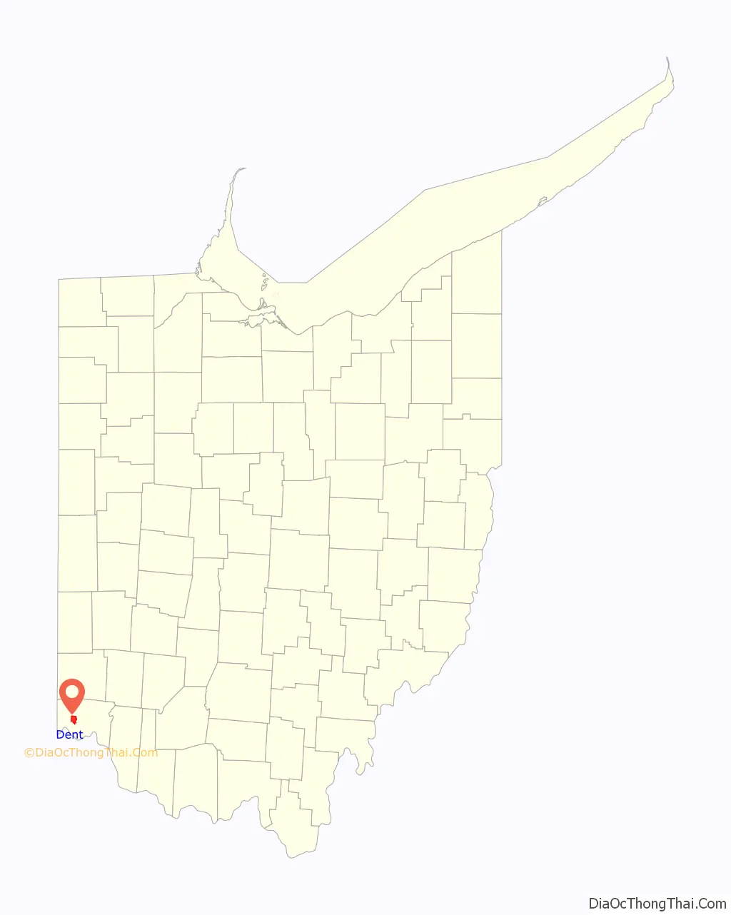
Dent location map. Where is Dent CDP?
History
Dent was originally known as Challensville in the 19th century, named for the local minister Rev. James Challenge. A post office called Challensville was established in 1843, the name was changed to Dent in 1846 at the urging of local resident and then-state representative Charles Reemelin. Reemelin was said to have disliked naming places after people and instead thought that “Dent” represented the geography of the area, with the depression of the land just east of Harrison Pike. The Dent post office closed in 1904. The present name “Dent” is after its setting in a valley (or dent).
Veterans Park was constructed in the 1990s on the former site of the Dent Drive-In. The 25-acre (10 ha) park contains a walking trail.
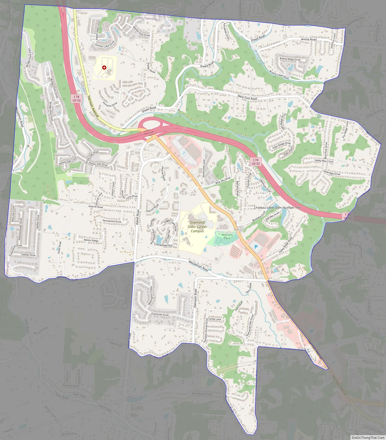
Dent Road Map
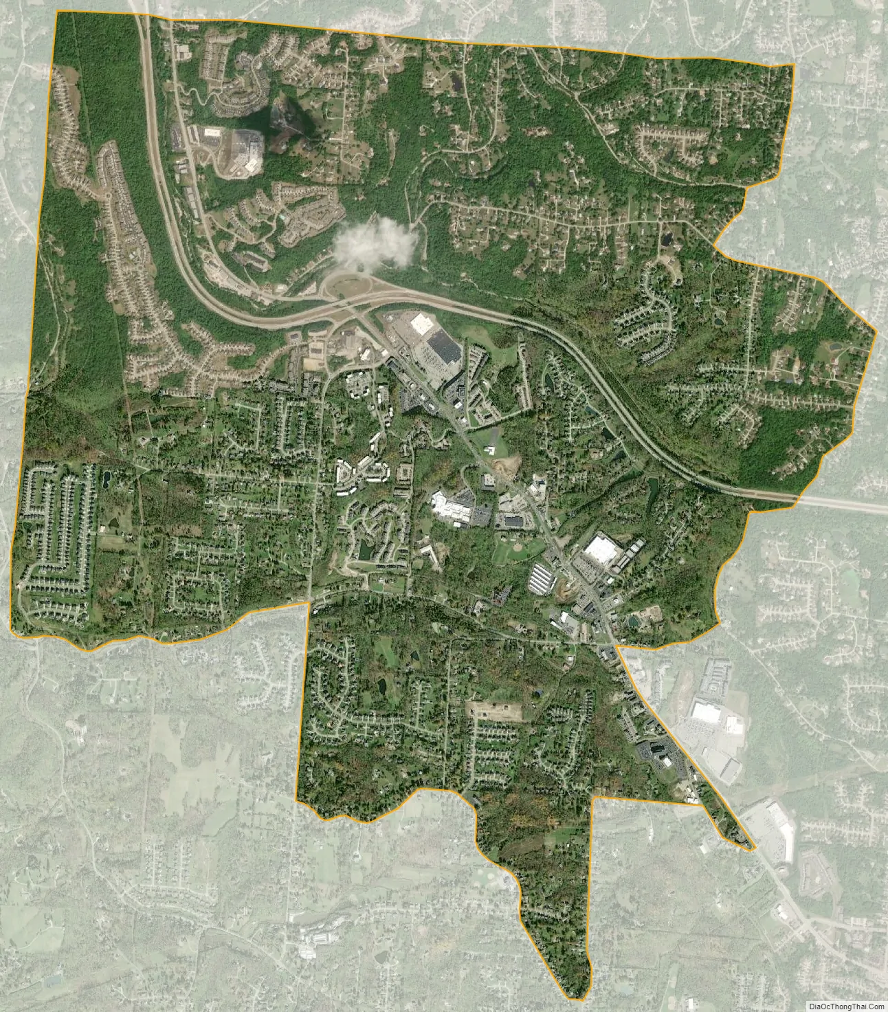
Dent city Satellite Map
Geography
Dent is located at 39°11′55″N 84°39′35″W / 39.198598°N 84.659747°W / 39.198598; -84.659747.
According to the United States Census Bureau, the CDP has a total area of 5.9 square miles (15.4 km), all land.
See also
Map of Ohio State and its subdivision:- Adams
- Allen
- Ashland
- Ashtabula
- Athens
- Auglaize
- Belmont
- Brown
- Butler
- Carroll
- Champaign
- Clark
- Clermont
- Clinton
- Columbiana
- Coshocton
- Crawford
- Cuyahoga
- Darke
- Defiance
- Delaware
- Erie
- Fairfield
- Fayette
- Franklin
- Fulton
- Gallia
- Geauga
- Greene
- Guernsey
- Hamilton
- Hancock
- Hardin
- Harrison
- Henry
- Highland
- Hocking
- Holmes
- Huron
- Jackson
- Jefferson
- Knox
- Lake
- Lake Erie
- Lawrence
- Licking
- Logan
- Lorain
- Lucas
- Madison
- Mahoning
- Marion
- Medina
- Meigs
- Mercer
- Miami
- Monroe
- Montgomery
- Morgan
- Morrow
- Muskingum
- Noble
- Ottawa
- Paulding
- Perry
- Pickaway
- Pike
- Portage
- Preble
- Putnam
- Richland
- Ross
- Sandusky
- Scioto
- Seneca
- Shelby
- Stark
- Summit
- Trumbull
- Tuscarawas
- Union
- Van Wert
- Vinton
- Warren
- Washington
- Wayne
- Williams
- Wood
- Wyandot
- Alabama
- Alaska
- Arizona
- Arkansas
- California
- Colorado
- Connecticut
- Delaware
- District of Columbia
- Florida
- Georgia
- Hawaii
- Idaho
- Illinois
- Indiana
- Iowa
- Kansas
- Kentucky
- Louisiana
- Maine
- Maryland
- Massachusetts
- Michigan
- Minnesota
- Mississippi
- Missouri
- Montana
- Nebraska
- Nevada
- New Hampshire
- New Jersey
- New Mexico
- New York
- North Carolina
- North Dakota
- Ohio
- Oklahoma
- Oregon
- Pennsylvania
- Rhode Island
- South Carolina
- South Dakota
- Tennessee
- Texas
- Utah
- Vermont
- Virginia
- Washington
- West Virginia
- Wisconsin
- Wyoming


