Fairfax is a village in Hamilton County, Ohio, United States. It is a suburb of Cincinnati. The population was 1,768 at the 2020 census.
| Name: | Fairfax village |
|---|---|
| LSAD Code: | 47 |
| LSAD Description: | village (suffix) |
| State: | Ohio |
| County: | Hamilton County |
| Incorporated: | 1955 |
| Elevation: | 564 ft (172 m) |
| Total Area: | 0.78 sq mi (2.02 km²) |
| Land Area: | 0.78 sq mi (2.02 km²) |
| Water Area: | 0.00 sq mi (0.00 km²) |
| Total Population: | 1,768 |
| Population Density: | 2,269.58/sq mi (876.83/km²) |
| ZIP code: | 45227 |
| Area code: | 513 |
| FIPS code: | 3925942 |
| GNISfeature ID: | 1048718 |
| Website: | fairfaxoh.com |
Online Interactive Map
Click on ![]() to view map in "full screen" mode.
to view map in "full screen" mode.
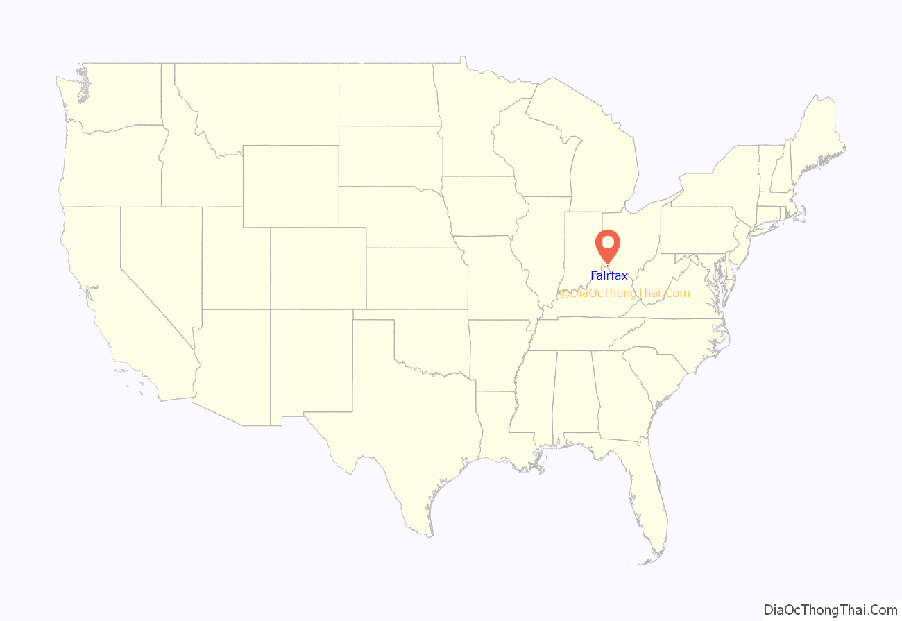
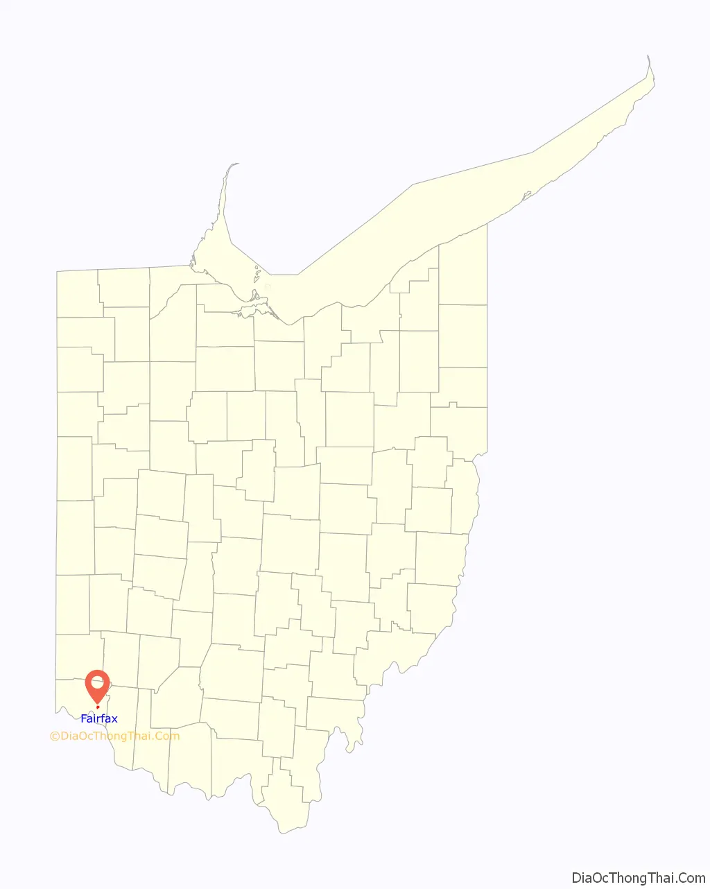
Fairfax location map. Where is Fairfax village?
History
Fairfax incorporated as a village in 1955 to head off annexation from neighboring Cincinnati but remained connected to Columbia Township after incorporating. On January 1, 2010, it withdrew from Columbia Township by forming a paper township, due in part to city residents’ low tax contribution compared to their influence on township elections.
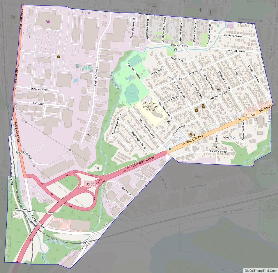
Fairfax Road Map
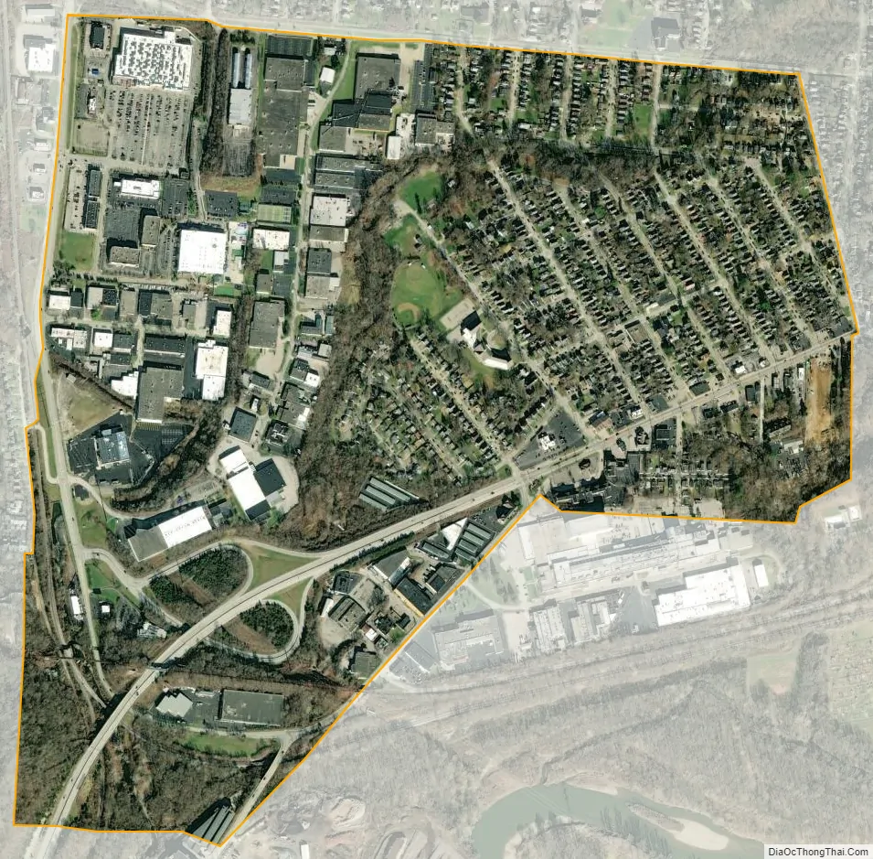
Fairfax city Satellite Map
Geography
Fairfax is located at 39°8′34″N 84°23′46″W / 39.14278°N 84.39611°W / 39.14278; -84.39611 (39.142760, -84.396188) and has a total area of 0.76 square miles (1.97 km), all land.
The village is bordered by the City of Cincinnati to the north, west, and south, the Village of Mariemont to the east and south, and Columbia Township to the south. Fairfax borders four City of Cincinnati neighborhoods: Madisonville to the north, Hyde Park and Mount Lookout to the west, and Linwood to the south.
Little Duck Creek runs through Fairfax eventually making its way to larger Duck Creek and the nearby Little Miami River which feeds into the Ohio River. Little Duck Creek splits the village into what residents refer to as “Lower Fairfax”, and “Upper Fairfax”. Lower Fairfax is a low lying area in the northeast residential portion of the village that has frequently flooded via the creek during heavy rains which has resulted in multiple fatalities. The village has purchased and demolished homes in Lower Fairfax utilizing federal funds to mitigate flood damages.
See also
Map of Ohio State and its subdivision:- Adams
- Allen
- Ashland
- Ashtabula
- Athens
- Auglaize
- Belmont
- Brown
- Butler
- Carroll
- Champaign
- Clark
- Clermont
- Clinton
- Columbiana
- Coshocton
- Crawford
- Cuyahoga
- Darke
- Defiance
- Delaware
- Erie
- Fairfield
- Fayette
- Franklin
- Fulton
- Gallia
- Geauga
- Greene
- Guernsey
- Hamilton
- Hancock
- Hardin
- Harrison
- Henry
- Highland
- Hocking
- Holmes
- Huron
- Jackson
- Jefferson
- Knox
- Lake
- Lake Erie
- Lawrence
- Licking
- Logan
- Lorain
- Lucas
- Madison
- Mahoning
- Marion
- Medina
- Meigs
- Mercer
- Miami
- Monroe
- Montgomery
- Morgan
- Morrow
- Muskingum
- Noble
- Ottawa
- Paulding
- Perry
- Pickaway
- Pike
- Portage
- Preble
- Putnam
- Richland
- Ross
- Sandusky
- Scioto
- Seneca
- Shelby
- Stark
- Summit
- Trumbull
- Tuscarawas
- Union
- Van Wert
- Vinton
- Warren
- Washington
- Wayne
- Williams
- Wood
- Wyandot
- Alabama
- Alaska
- Arizona
- Arkansas
- California
- Colorado
- Connecticut
- Delaware
- District of Columbia
- Florida
- Georgia
- Hawaii
- Idaho
- Illinois
- Indiana
- Iowa
- Kansas
- Kentucky
- Louisiana
- Maine
- Maryland
- Massachusetts
- Michigan
- Minnesota
- Mississippi
- Missouri
- Montana
- Nebraska
- Nevada
- New Hampshire
- New Jersey
- New Mexico
- New York
- North Carolina
- North Dakota
- Ohio
- Oklahoma
- Oregon
- Pennsylvania
- Rhode Island
- South Carolina
- South Dakota
- Tennessee
- Texas
- Utah
- Vermont
- Virginia
- Washington
- West Virginia
- Wisconsin
- Wyoming


