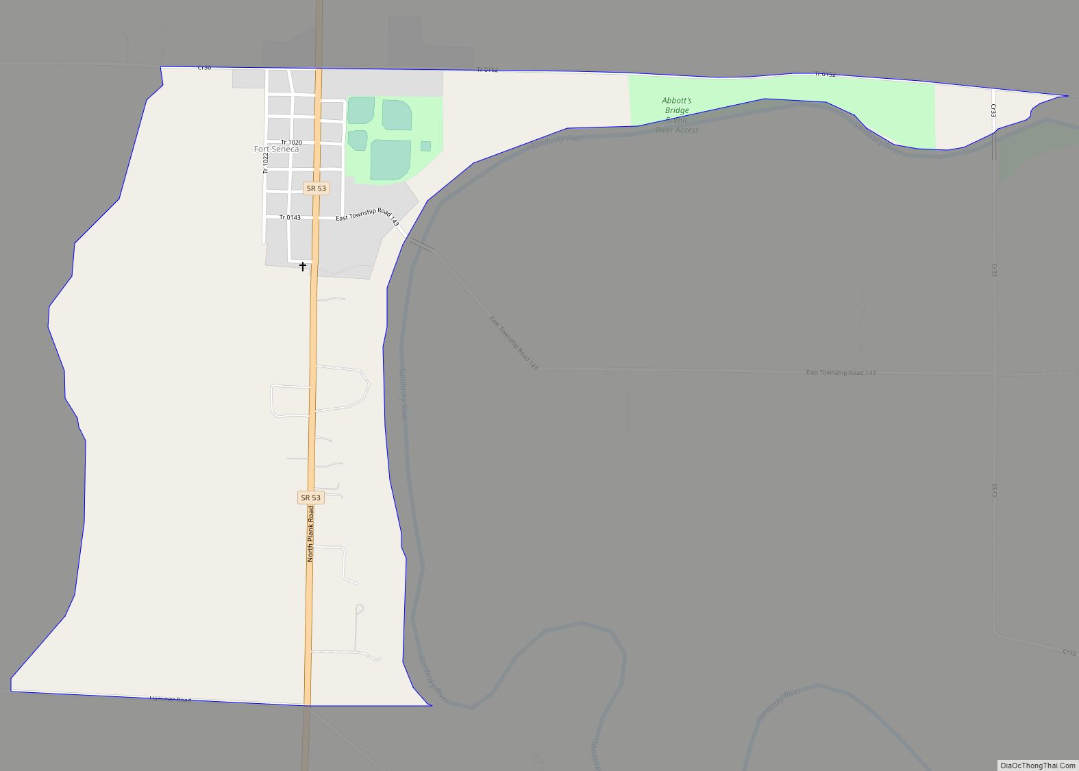
Fort Seneca is a census-designated place in Pleasant Township, Seneca County, Ohio, United States. It is located on State Route 53, approximately 6 miles (9.7 km) North of Tiffin. It had a population of 254 in 2010. Although unincorporated, Fort Seneca had a post office, with the ZIP code of 44829 until 1998. The post office was opened on December 15, 1821.
Fort Seneca was built nearby in Jul. 1813 by Gen. William Henry Harrison during the War of 1812. The community of Fort Seneca was platted in 1836, and named after Old Fort Seneca, which was located 2 miles away from the present town site.
| Name: | Fort Seneca CDP |
|---|---|
| LSAD Code: | 57 |
| LSAD Description: | CDP (suffix) |
| State: | Ohio |
| County: | Seneca County |
| Elevation: | 699 ft (213 m) |
| Total Area: | 0.63 sq mi (1.62 km²) |
| Land Area: | 0.63 sq mi (1.62 km²) |
| Water Area: | 0.00 sq mi (0.00 km²) |
| Total Population: | 230 |
| Population Density: | 366.83/sq mi (141.61/km²) |
| ZIP code: | 44883 |
| Area code: | 419 |
| FIPS code: | 3927930 |
| GNISfeature ID: | 1064666 |
Online Interactive Map
Click on ![]() to view map in "full screen" mode.
to view map in "full screen" mode.
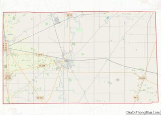
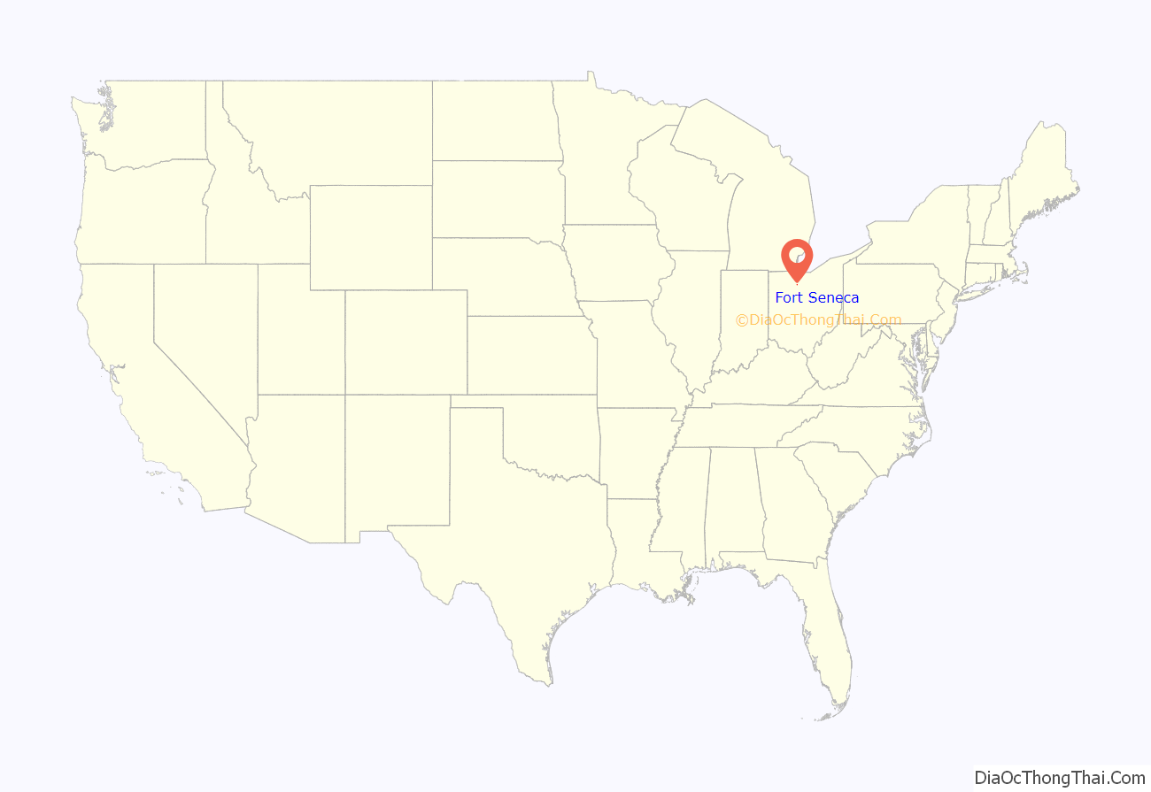
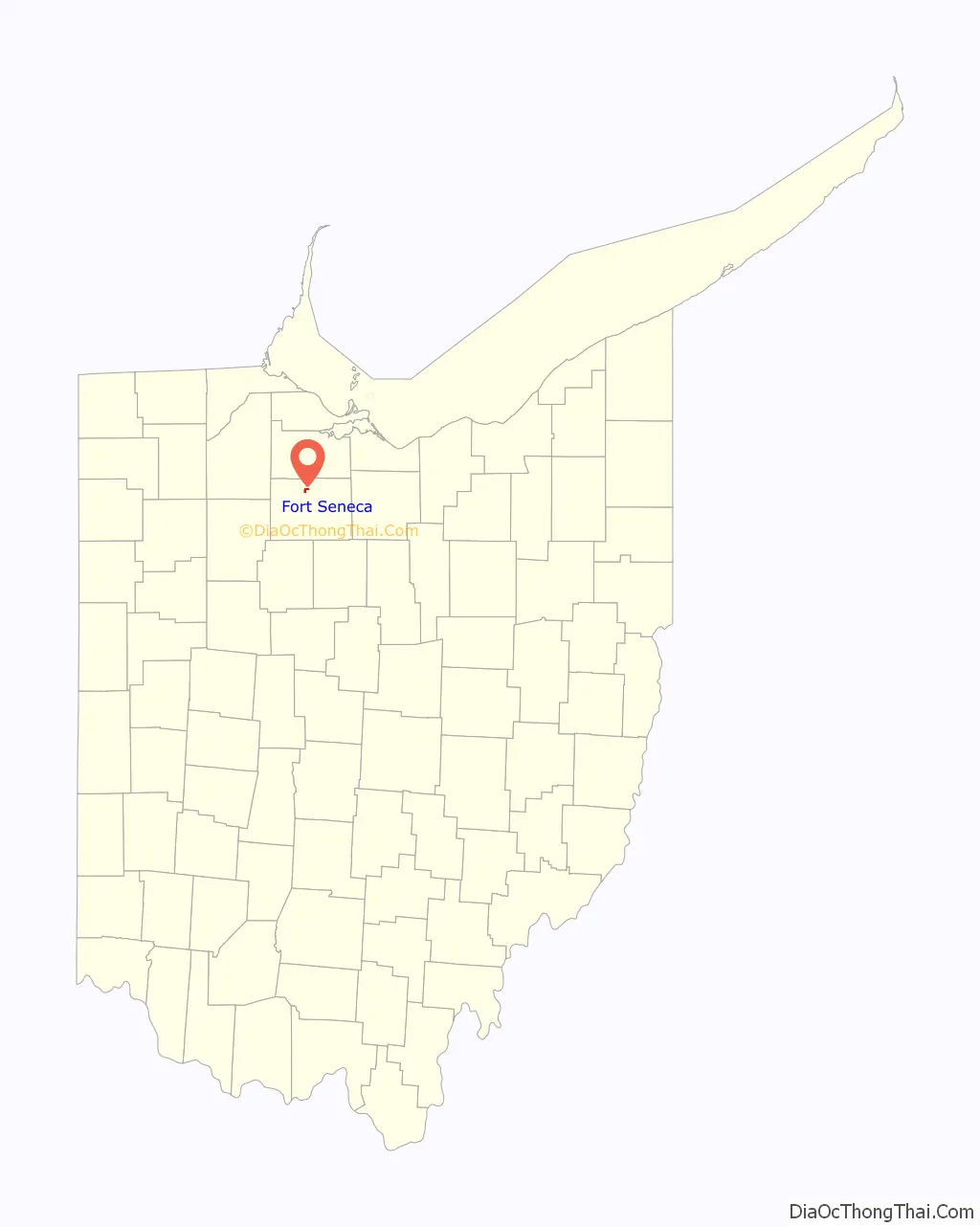
Fort Seneca location map. Where is Fort Seneca CDP?
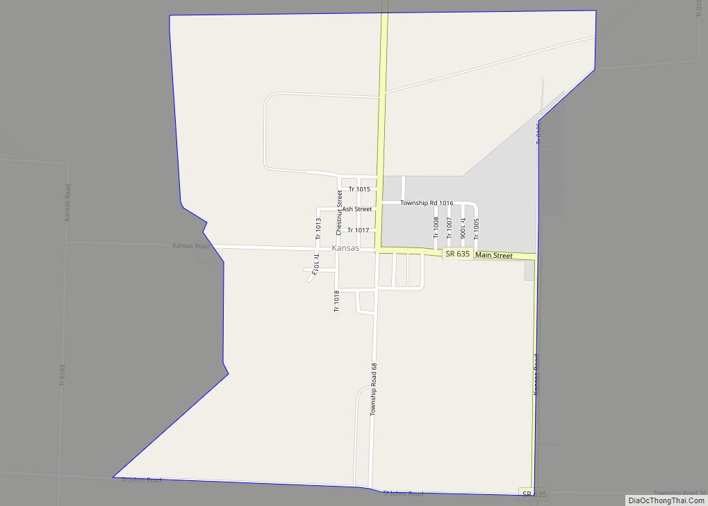
Fort Seneca Road Map
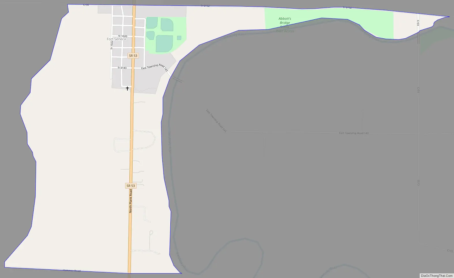
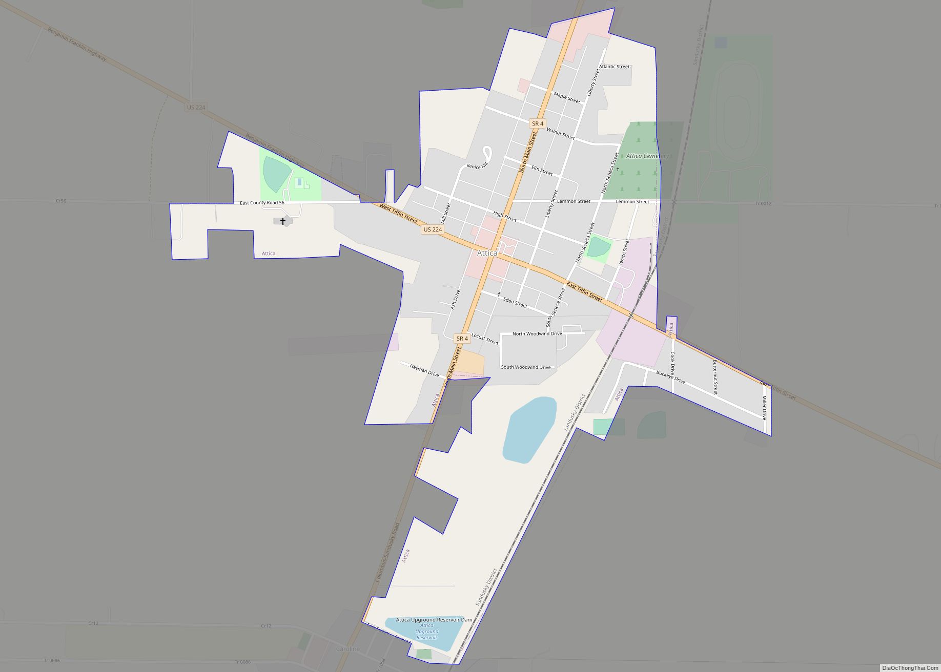
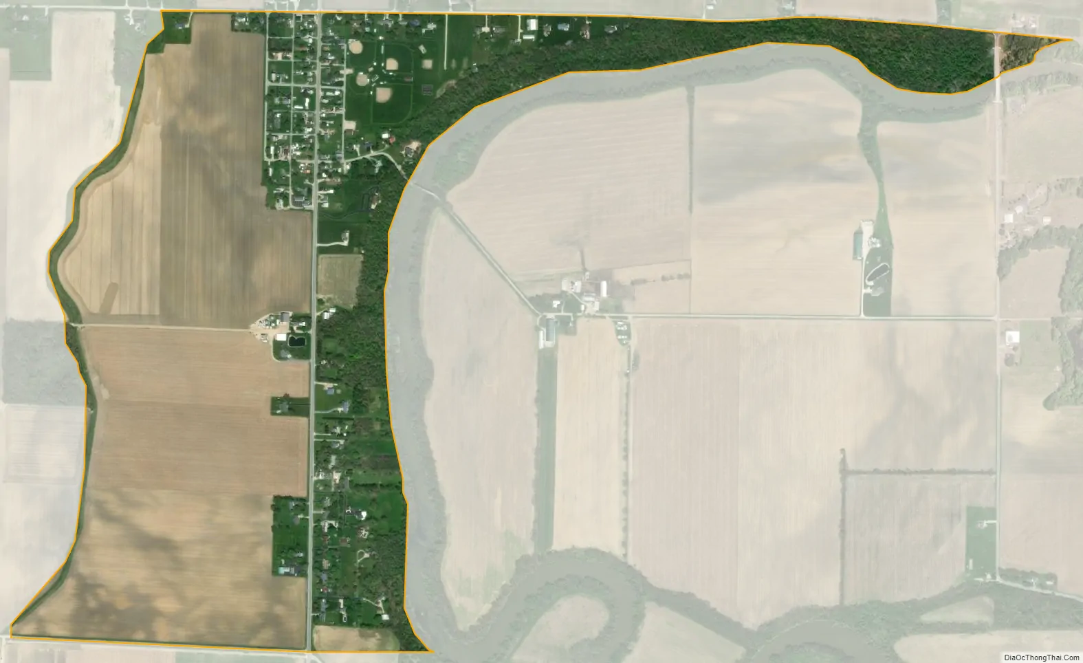
Fort Seneca city Satellite Map
See also
Map of Ohio State and its subdivision:- Adams
- Allen
- Ashland
- Ashtabula
- Athens
- Auglaize
- Belmont
- Brown
- Butler
- Carroll
- Champaign
- Clark
- Clermont
- Clinton
- Columbiana
- Coshocton
- Crawford
- Cuyahoga
- Darke
- Defiance
- Delaware
- Erie
- Fairfield
- Fayette
- Franklin
- Fulton
- Gallia
- Geauga
- Greene
- Guernsey
- Hamilton
- Hancock
- Hardin
- Harrison
- Henry
- Highland
- Hocking
- Holmes
- Huron
- Jackson
- Jefferson
- Knox
- Lake
- Lake Erie
- Lawrence
- Licking
- Logan
- Lorain
- Lucas
- Madison
- Mahoning
- Marion
- Medina
- Meigs
- Mercer
- Miami
- Monroe
- Montgomery
- Morgan
- Morrow
- Muskingum
- Noble
- Ottawa
- Paulding
- Perry
- Pickaway
- Pike
- Portage
- Preble
- Putnam
- Richland
- Ross
- Sandusky
- Scioto
- Seneca
- Shelby
- Stark
- Summit
- Trumbull
- Tuscarawas
- Union
- Van Wert
- Vinton
- Warren
- Washington
- Wayne
- Williams
- Wood
- Wyandot
- Alabama
- Alaska
- Arizona
- Arkansas
- California
- Colorado
- Connecticut
- Delaware
- District of Columbia
- Florida
- Georgia
- Hawaii
- Idaho
- Illinois
- Indiana
- Iowa
- Kansas
- Kentucky
- Louisiana
- Maine
- Maryland
- Massachusetts
- Michigan
- Minnesota
- Mississippi
- Missouri
- Montana
- Nebraska
- Nevada
- New Hampshire
- New Jersey
- New Mexico
- New York
- North Carolina
- North Dakota
- Ohio
- Oklahoma
- Oregon
- Pennsylvania
- Rhode Island
- South Carolina
- South Dakota
- Tennessee
- Texas
- Utah
- Vermont
- Virginia
- Washington
- West Virginia
- Wisconsin
- Wyoming