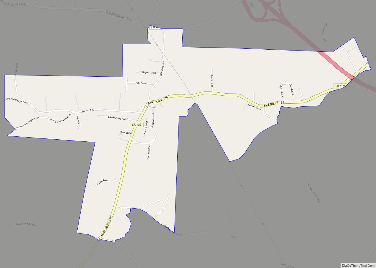
Franklin Furnace is a census-designated place (CDP) in Scioto County, Ohio, United States, along the Ohio River. The population was 1,660 at the 2010 census. Franklin Furnace’s post office has the ZIP code of 45629.
| Name: | Franklin Furnace CDP |
|---|---|
| LSAD Code: | 57 |
| LSAD Description: | CDP (suffix) |
| State: | Ohio |
| County: | Scioto County |
| Elevation: | 574 ft (175 m) |
| Total Area: | 2.74 sq mi (7.10 km²) |
| Land Area: | 2.35 sq mi (6.10 km²) |
| Water Area: | 0.39 sq mi (1.00 km²) |
| Total Population: | 1,525 |
| Population Density: | 647.56/sq mi (250.01/km²) |
| ZIP code: | 45629 |
| Area code: | 740 |
| FIPS code: | 3928532 |
| GNISfeature ID: | 1075237 |
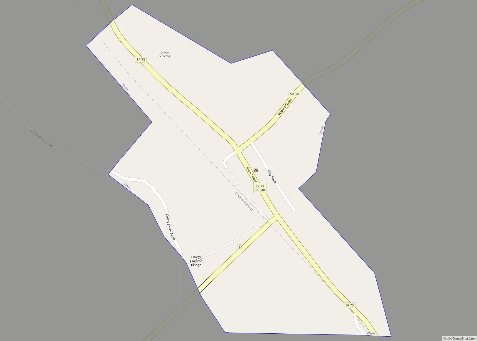
Online Interactive Map
Click on ![]() to view map in "full screen" mode.
to view map in "full screen" mode.
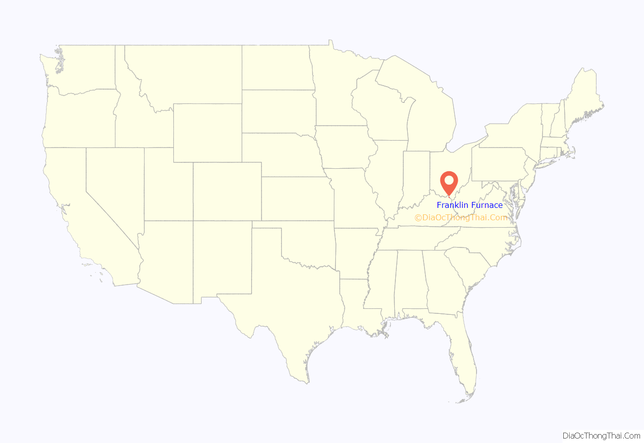
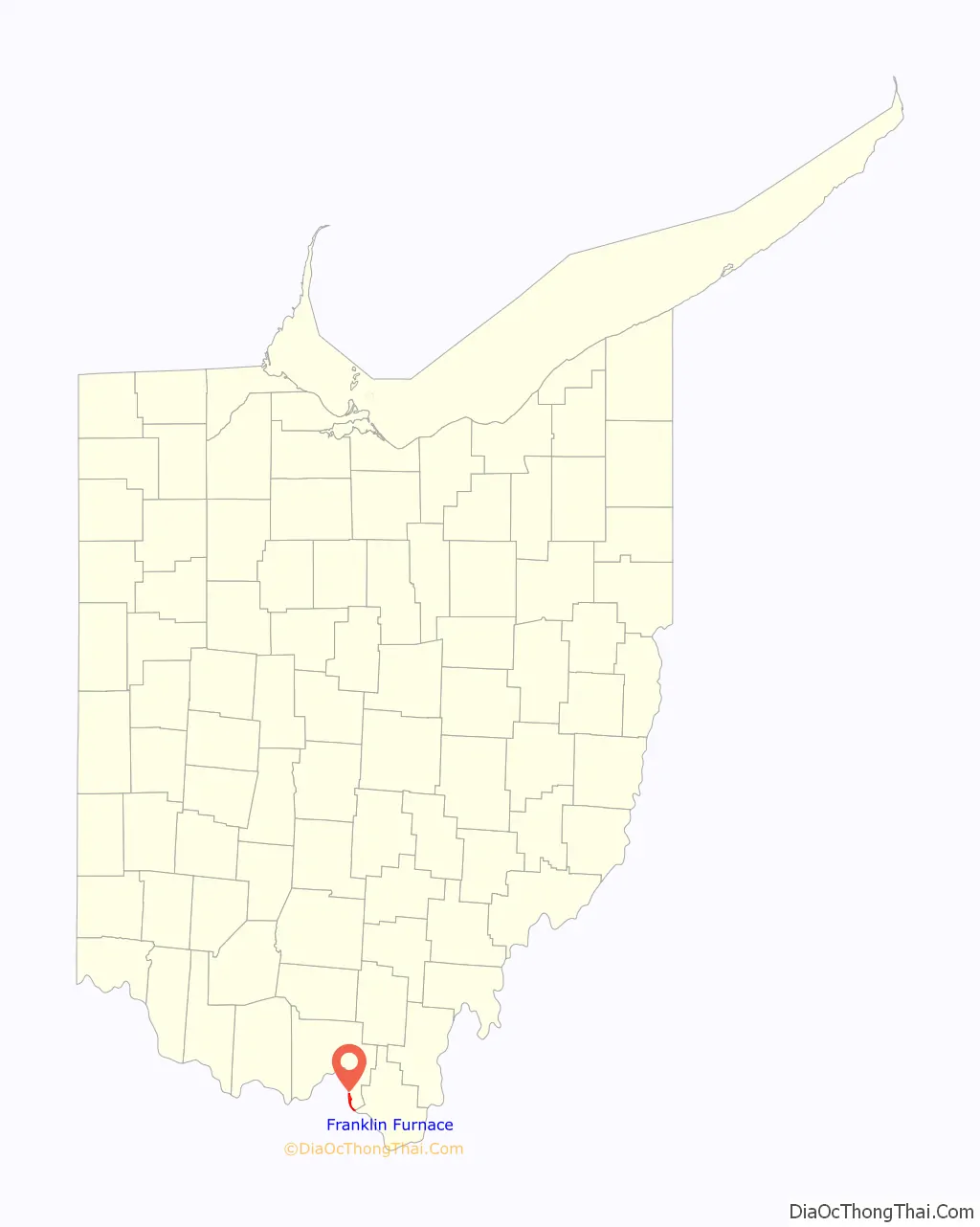
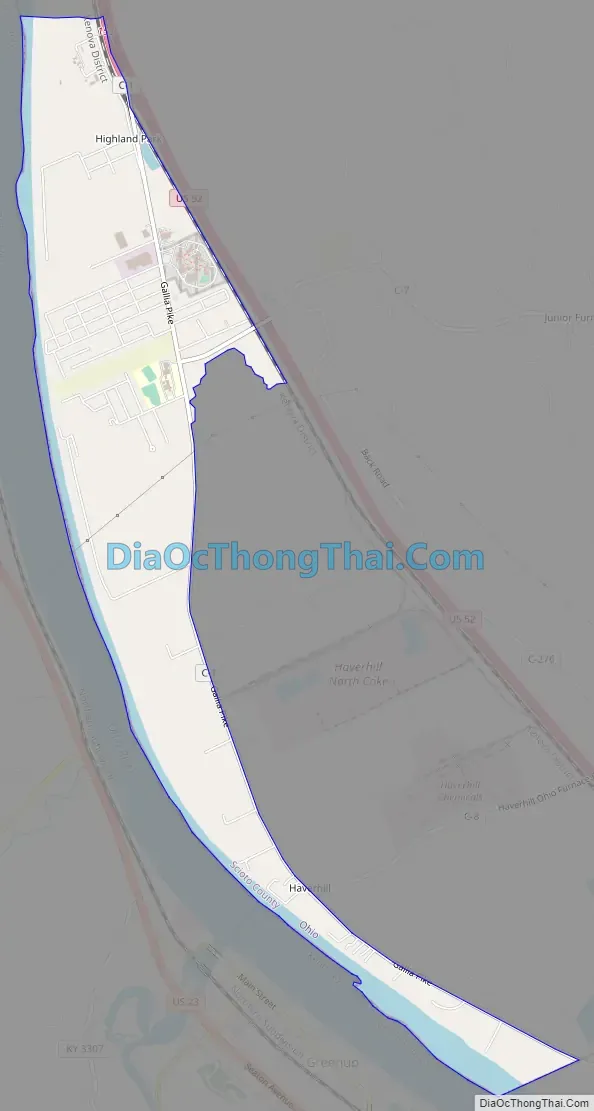
Franklin Furnace location map. Where is Franklin Furnace CDP?
History
Franklin Furnace was the name of an early iron ore furnace built in eastern Scioto County in 1826. The community that grew in that area is named after the furnace. The community’s name ultimately is derived from Benjamin Franklin. It is located within the land that was the French Grant by Congress in 1795 to a group of French colonists were defrauded by the Scioto Company. A post office called Franklin Furnace has been in operation since 1828.
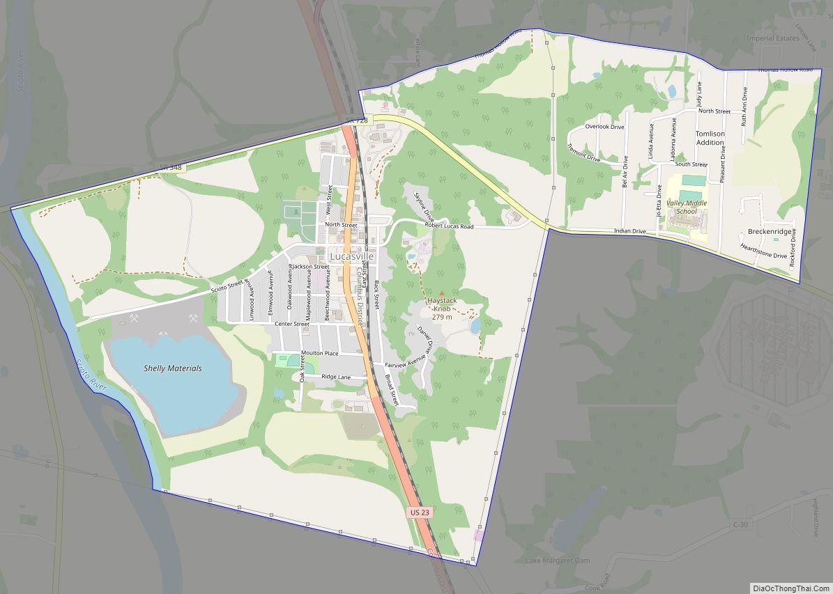
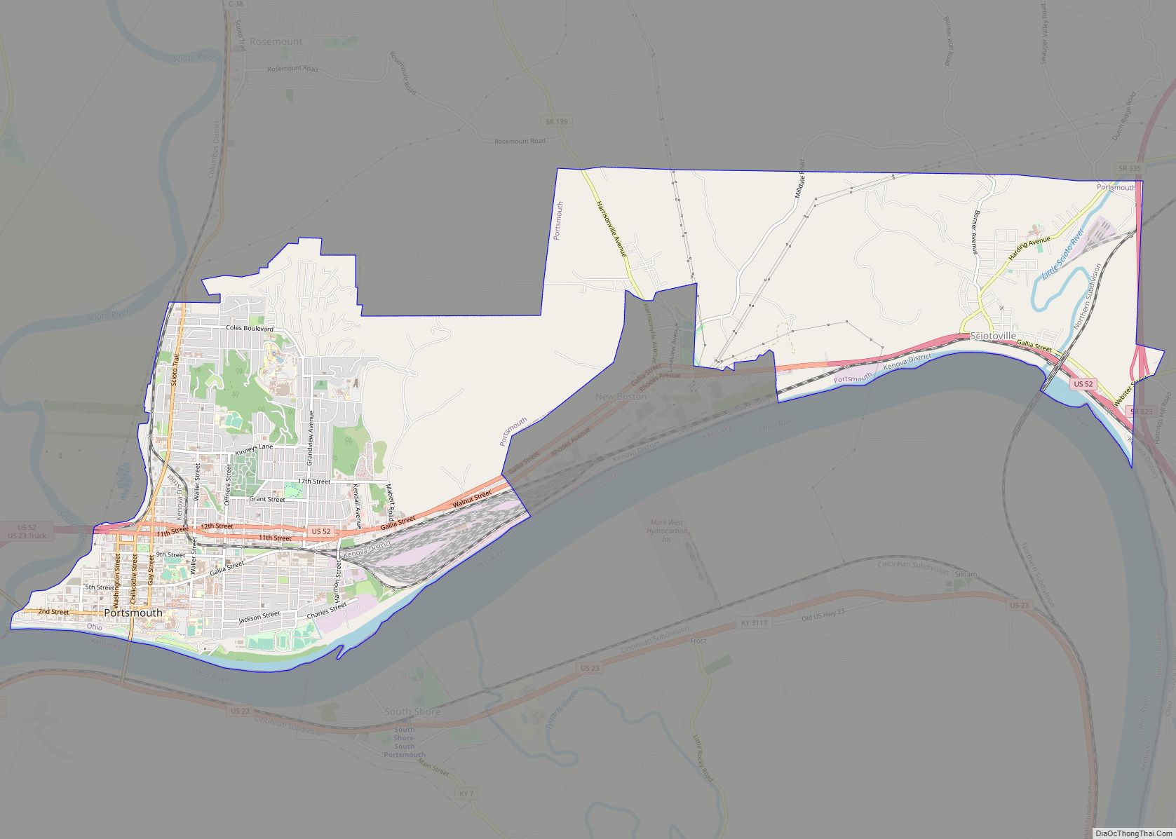
Franklin Furnace Road Map
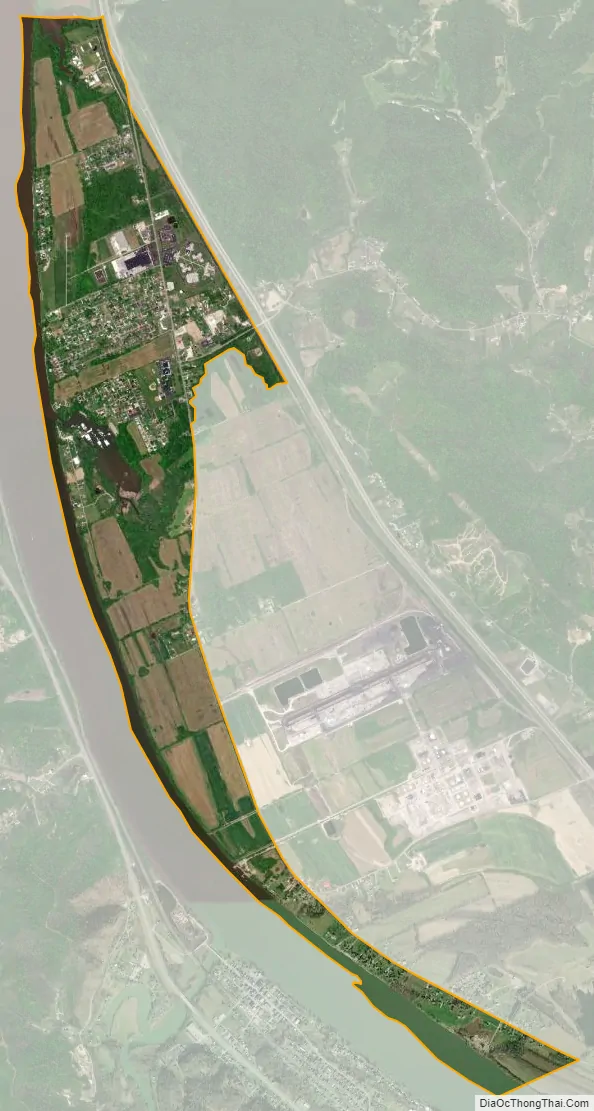
Franklin Furnace city Satellite Map
Geography
Franklin Furnace is located at 38°37′24″N 82°50′53″W / 38.62333°N 82.84806°W / 38.62333; -82.84806 (38.623342, -82.847997).
According to the United States Census Bureau, the CDP has a total area of 2.7 square miles (7.0 km), of which 2.4 square miles (6.2 km) is land and 0.4 square miles (1.0 km), or 13.14%, is water.
See also
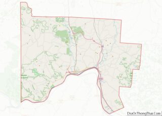
Map of Ohio State and its subdivision:- Adams
- Allen
- Ashland
- Ashtabula
- Athens
- Auglaize
- Belmont
- Brown
- Butler
- Carroll
- Champaign
- Clark
- Clermont
- Clinton
- Columbiana
- Coshocton
- Crawford
- Cuyahoga
- Darke
- Defiance
- Delaware
- Erie
- Fairfield
- Fayette
- Franklin
- Fulton
- Gallia
- Geauga
- Greene
- Guernsey
- Hamilton
- Hancock
- Hardin
- Harrison
- Henry
- Highland
- Hocking
- Holmes
- Huron
- Jackson
- Jefferson
- Knox
- Lake
- Lake Erie
- Lawrence
- Licking
- Logan
- Lorain
- Lucas
- Madison
- Mahoning
- Marion
- Medina
- Meigs
- Mercer
- Miami
- Monroe
- Montgomery
- Morgan
- Morrow
- Muskingum
- Noble
- Ottawa
- Paulding
- Perry
- Pickaway
- Pike
- Portage
- Preble
- Putnam
- Richland
- Ross
- Sandusky
- Scioto
- Seneca
- Shelby
- Stark
- Summit
- Trumbull
- Tuscarawas
- Union
- Van Wert
- Vinton
- Warren
- Washington
- Wayne
- Williams
- Wood
- Wyandot
- Alabama
- Alaska
- Arizona
- Arkansas
- California
- Colorado
- Connecticut
- Delaware
- District of Columbia
- Florida
- Georgia
- Hawaii
- Idaho
- Illinois
- Indiana
- Iowa
- Kansas
- Kentucky
- Louisiana
- Maine
- Maryland
- Massachusetts
- Michigan
- Minnesota
- Mississippi
- Missouri
- Montana
- Nebraska
- Nevada
- New Hampshire
- New Jersey
- New Mexico
- New York
- North Carolina
- North Dakota
- Ohio
- Oklahoma
- Oregon
- Pennsylvania
- Rhode Island
- South Carolina
- South Dakota
- Tennessee
- Texas
- Utah
- Vermont
- Virginia
- Washington
- West Virginia
- Wisconsin
- Wyoming