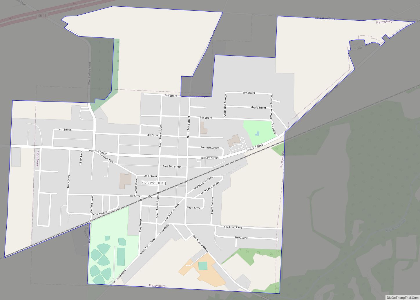
Frazeysburg is a village in Muskingum County, Ohio, United States, along Wakatomika Creek. The population was 1,354 at the 2020 census. It is part of the Zanesville micropolitan area. Frazeysburg is home to the world’s largest apple basket, which is located on the Longaberger homestead.
| Name: | Frazeysburg village |
|---|---|
| LSAD Code: | 47 |
| LSAD Description: | village (suffix) |
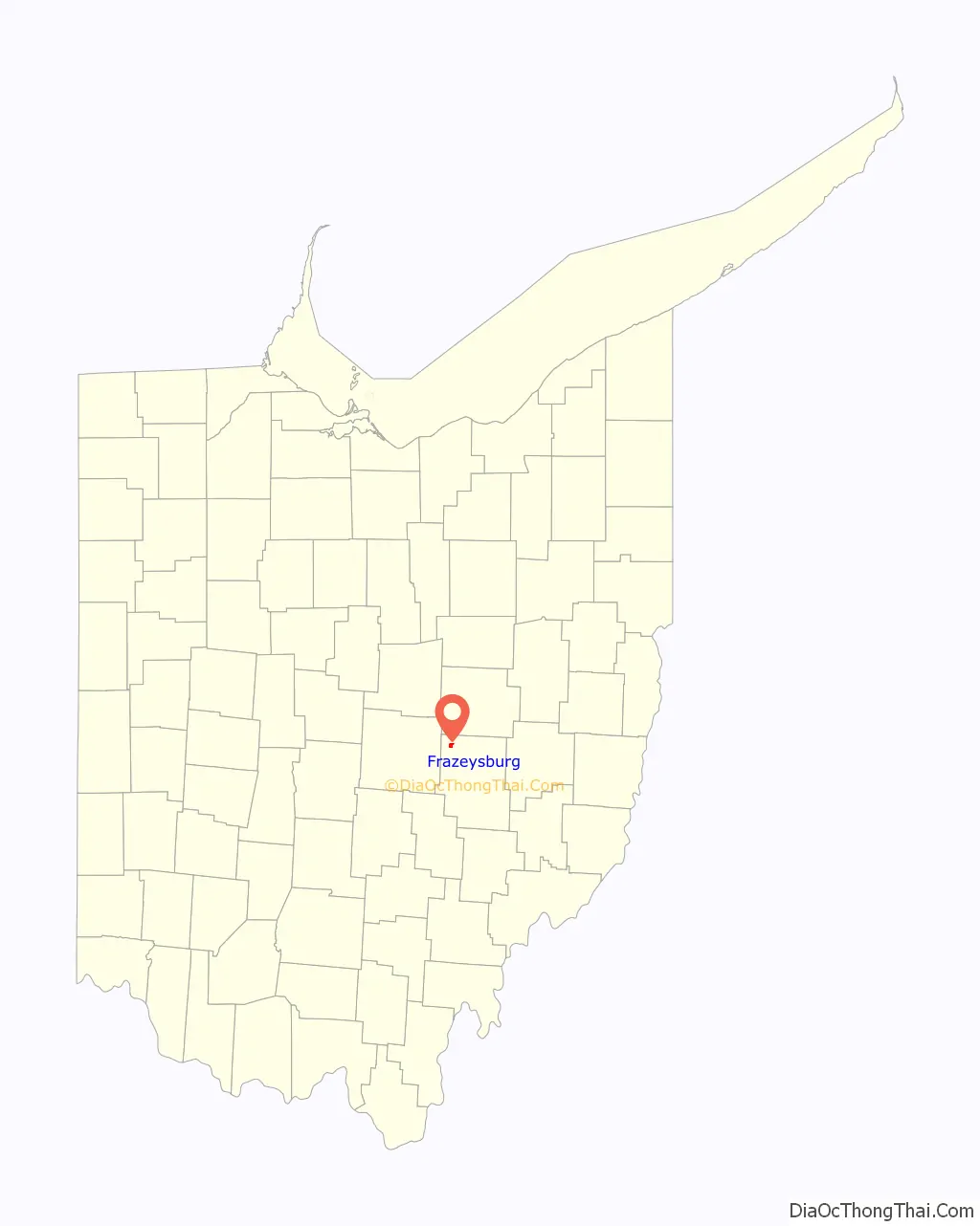
| State: | Ohio |
| County: | Muskingum County |
| Elevation: | 751 ft (229 m) |
| Total Area: | 1.03 sq mi (2.66 km²) |
| Land Area: | 1.03 sq mi (2.66 km²) |
| Water Area: | 0.00 sq mi (0.00 km²) |
| Total Population: | 1,354 |
| Population Density: | 1,318.40/sq mi (509.18/km²) |
| ZIP code: | 43822 |
| Area code: | 740 |
| FIPS code: | 3928574 |
| GNISfeature ID: | 1064677 |
| Website: | www.frazeysburg.us |
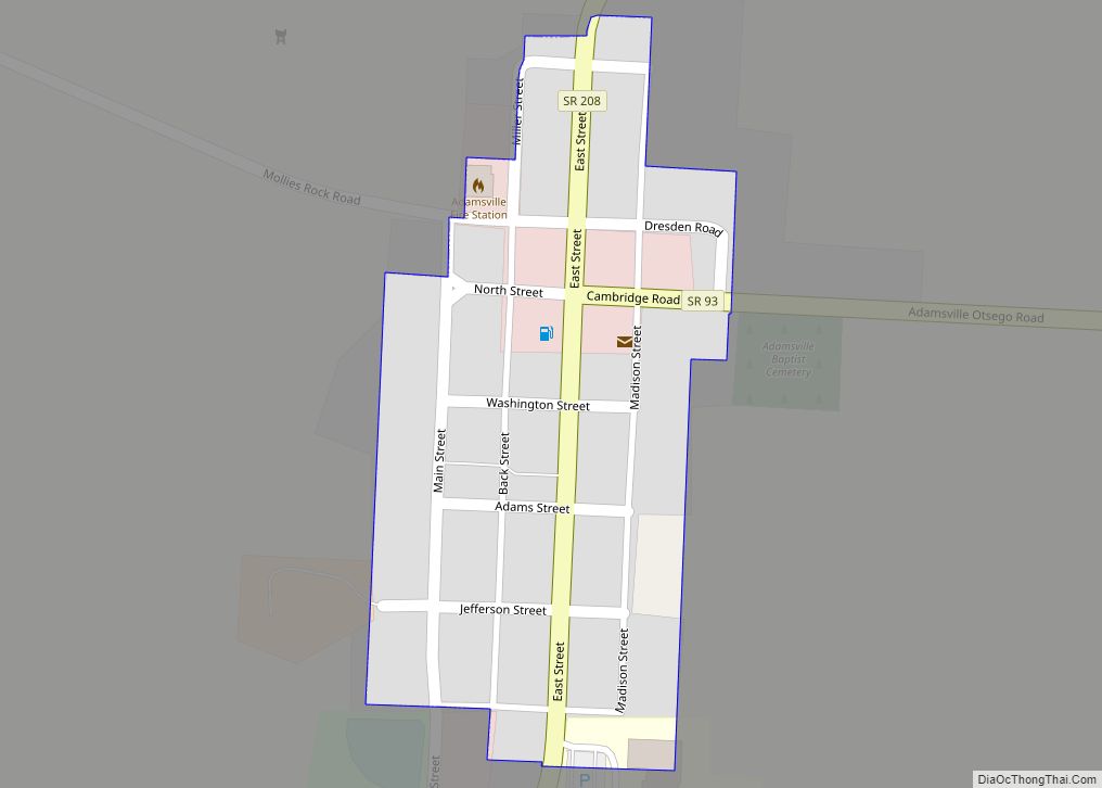
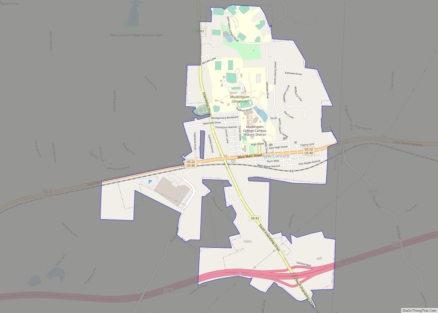
Online Interactive Map
Click on ![]() to view map in "full screen" mode.
to view map in "full screen" mode.
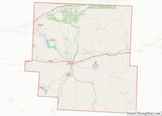
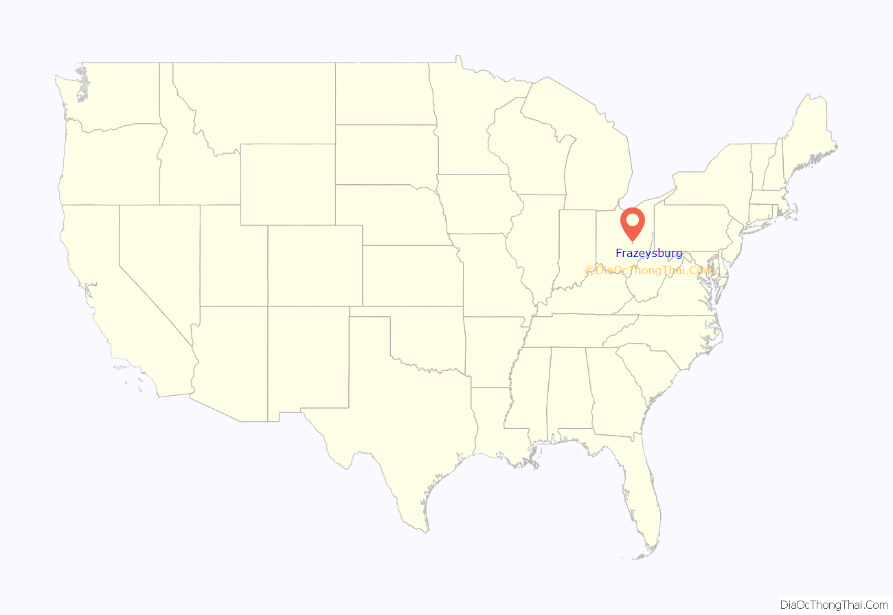
Frazeysburg location map. Where is Frazeysburg village?
History
Frazeysburg was originally called Knoxville, and under the latter name was laid out in 1827. The town site was sold in 1828 to Samuel Frazey, and named for him. A post office called Frazeysburg has been in operation since 1837. The village was incorporated in 1868.
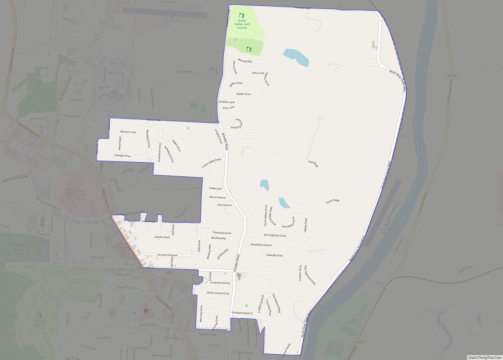
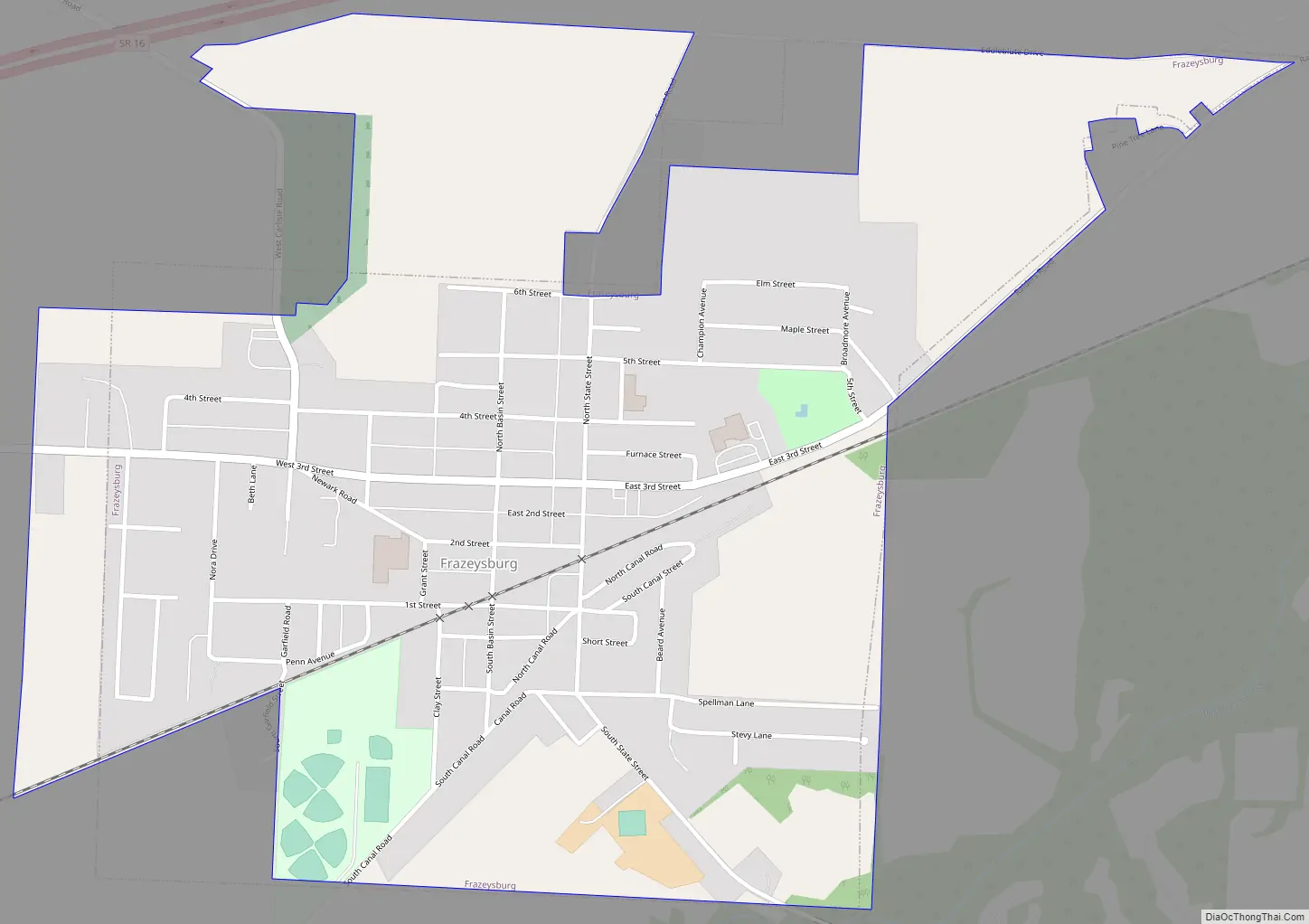
Frazeysburg Road Map
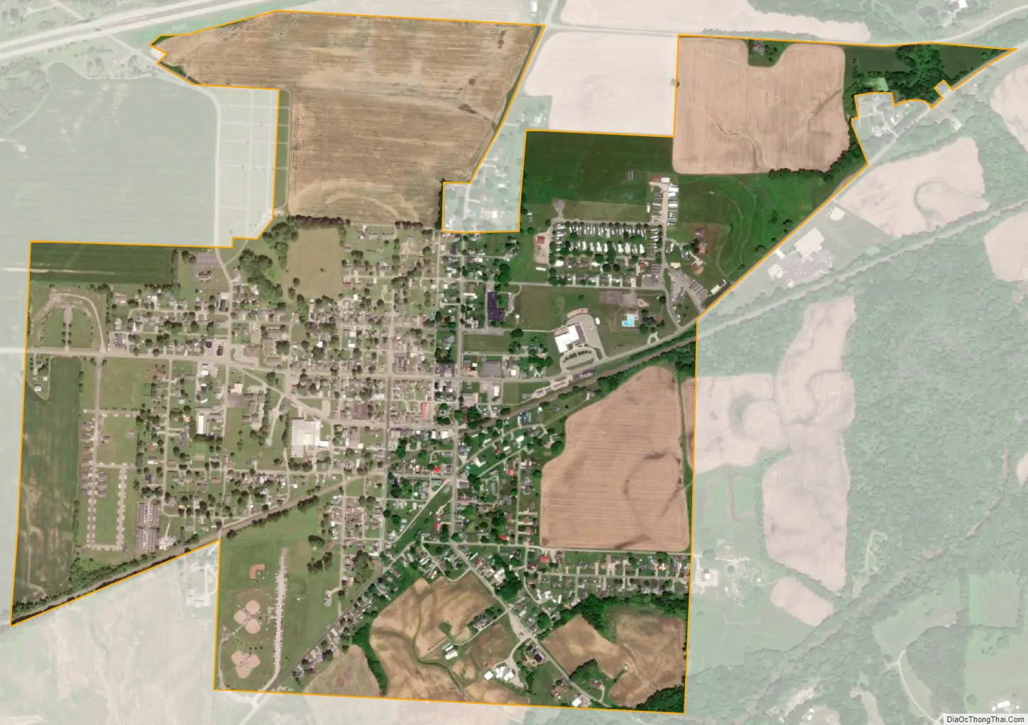
Frazeysburg city Satellite Map
Geography
Frazeysburg is located at 40°7′6″N 82°7′5″W / 40.11833°N 82.11806°W / 40.11833; -82.11806 (40.118289, -82.118082).
According to the United States Census Bureau, the village has a total area of 0.92 square miles (2.38 km), all land.
See also
Map of Ohio State and its subdivision:- Adams
- Allen
- Ashland
- Ashtabula
- Athens
- Auglaize
- Belmont
- Brown
- Butler
- Carroll
- Champaign
- Clark
- Clermont
- Clinton
- Columbiana
- Coshocton
- Crawford
- Cuyahoga
- Darke
- Defiance
- Delaware
- Erie
- Fairfield
- Fayette
- Franklin
- Fulton
- Gallia
- Geauga
- Greene
- Guernsey
- Hamilton
- Hancock
- Hardin
- Harrison
- Henry
- Highland
- Hocking
- Holmes
- Huron
- Jackson
- Jefferson
- Knox
- Lake
- Lake Erie
- Lawrence
- Licking
- Logan
- Lorain
- Lucas
- Madison
- Mahoning
- Marion
- Medina
- Meigs
- Mercer
- Miami
- Monroe
- Montgomery
- Morgan
- Morrow
- Muskingum
- Noble
- Ottawa
- Paulding
- Perry
- Pickaway
- Pike
- Portage
- Preble
- Putnam
- Richland
- Ross
- Sandusky
- Scioto
- Seneca
- Shelby
- Stark
- Summit
- Trumbull
- Tuscarawas
- Union
- Van Wert
- Vinton
- Warren
- Washington
- Wayne
- Williams
- Wood
- Wyandot
- Alabama
- Alaska
- Arizona
- Arkansas
- California
- Colorado
- Connecticut
- Delaware
- District of Columbia
- Florida
- Georgia
- Hawaii
- Idaho
- Illinois
- Indiana
- Iowa
- Kansas
- Kentucky
- Louisiana
- Maine
- Maryland
- Massachusetts
- Michigan
- Minnesota
- Mississippi
- Missouri
- Montana
- Nebraska
- Nevada
- New Hampshire
- New Jersey
- New Mexico
- New York
- North Carolina
- North Dakota
- Ohio
- Oklahoma
- Oregon
- Pennsylvania
- Rhode Island
- South Carolina
- South Dakota
- Tennessee
- Texas
- Utah
- Vermont
- Virginia
- Washington
- West Virginia
- Wisconsin
- Wyoming