Gambier is a village in Knox County, Ohio, United States. The population was 2,391 at the 2010 census.
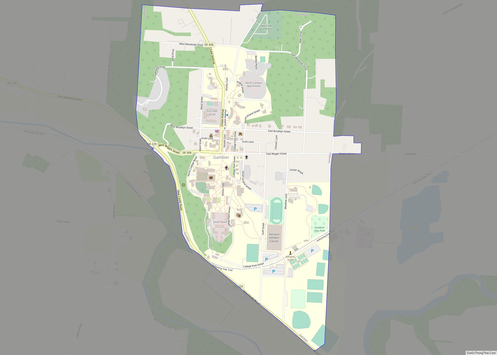
Gambier is the home of Kenyon College. A major feature is a gravel path running the length of the village, referred to as “Middle Path”. This path has become a piece of Gambier’s history, as it is used by college students and residents alike as a way through the community.
| Name: | Gambier village |
|---|---|
| LSAD Code: | 47 |
| LSAD Description: | village (suffix) |
| State: | Ohio |
| County: | Knox County |
| Elevation: | 1,079 ft (329 m) |
| Total Area: | 0.94 sq mi (2.43 km²) |
| Land Area: | 0.94 sq mi (2.43 km²) |
| Water Area: | 0.00 sq mi (0.00 km²) |
| Total Population: | 2,213 |
| Population Density: | 2,361.79/sq mi (911.88/km²) |
| ZIP code: | 43022 |
| Area code: | 740 |
| FIPS code: | 3929246 |
| GNISfeature ID: | 1056293 |
| Website: | http://www.villageofgambier.org/ |
Online Interactive Map
Click on ![]() to view map in "full screen" mode.
to view map in "full screen" mode.
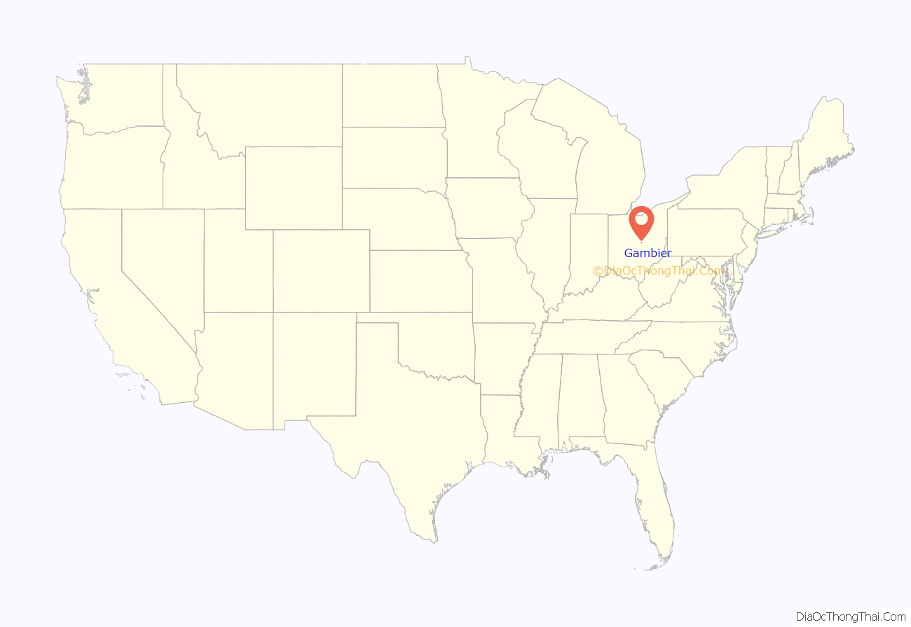
Gambier location map. Where is Gambier village?
History
Gambier was laid out in 1824. The village was named after one of Kenyon College’s early benefactors, Lord Gambier. In the 1960s, Japanese writer Junzo Shono spent several years in Gambier, culminating in the writing of the book A Sojourn in Gambier, which would prove to be quite popular in Japan.
In May 2020, the Village of Gambier became the first municipality in Knox County to establish anti-discrimination legislation for LGBTQ+ people.
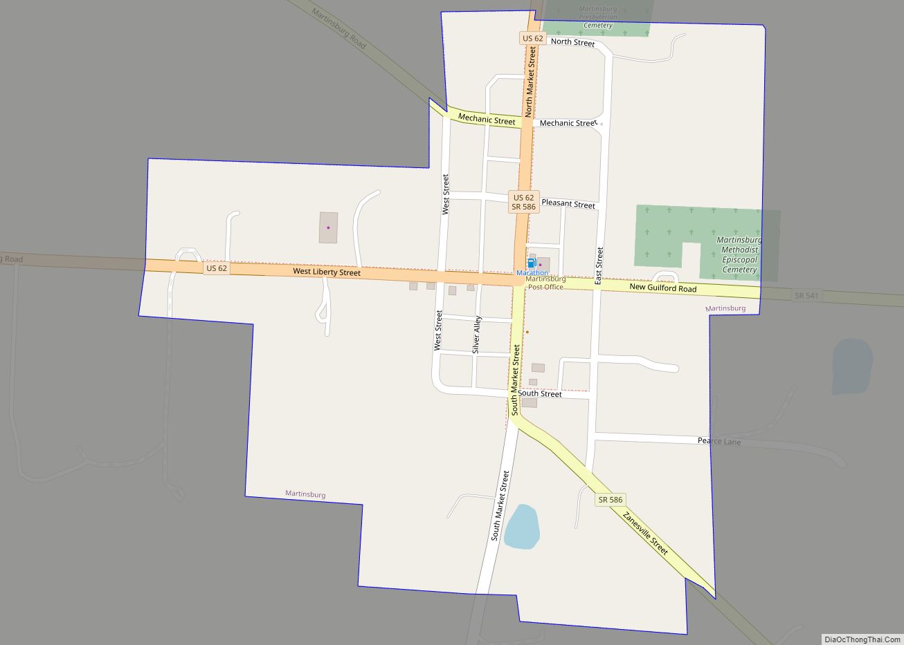
Gambier Road Map
Gambier city Satellite Map
Geography
Gambier is located along the Kokosing River.
According to the United States Census Bureau, the village has a total area of 0.94 square miles (2.43 km), all land.
See also
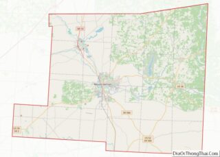
Map of Ohio State and its subdivision:- Adams
- Allen
- Ashland
- Ashtabula
- Athens
- Auglaize
- Belmont
- Brown
- Butler
- Carroll
- Champaign
- Clark
- Clermont
- Clinton
- Columbiana
- Coshocton
- Crawford
- Cuyahoga
- Darke
- Defiance
- Delaware
- Erie
- Fairfield
- Fayette
- Franklin
- Fulton
- Gallia
- Geauga
- Greene
- Guernsey
- Hamilton
- Hancock
- Hardin
- Harrison
- Henry
- Highland
- Hocking
- Holmes
- Huron
- Jackson
- Jefferson
- Knox
- Lake
- Lake Erie
- Lawrence
- Licking
- Logan
- Lorain
- Lucas
- Madison
- Mahoning
- Marion
- Medina
- Meigs
- Mercer
- Miami
- Monroe
- Montgomery
- Morgan
- Morrow
- Muskingum
- Noble
- Ottawa
- Paulding
- Perry
- Pickaway
- Pike
- Portage
- Preble
- Putnam
- Richland
- Ross
- Sandusky
- Scioto
- Seneca
- Shelby
- Stark
- Summit
- Trumbull
- Tuscarawas
- Union
- Van Wert
- Vinton
- Warren
- Washington
- Wayne
- Williams
- Wood
- Wyandot
- Alabama
- Alaska
- Arizona
- Arkansas
- California
- Colorado
- Connecticut
- Delaware
- District of Columbia
- Florida
- Georgia
- Hawaii
- Idaho
- Illinois
- Indiana
- Iowa
- Kansas
- Kentucky
- Louisiana
- Maine
- Maryland
- Massachusetts
- Michigan
- Minnesota
- Mississippi
- Missouri
- Montana
- Nebraska
- Nevada
- New Hampshire
- New Jersey
- New Mexico
- New York
- North Carolina
- North Dakota
- Ohio
- Oklahoma
- Oregon
- Pennsylvania
- Rhode Island
- South Carolina
- South Dakota
- Tennessee
- Texas
- Utah
- Vermont
- Virginia
- Washington
- West Virginia
- Wisconsin
- Wyoming
