Garfield Heights is a city in Cuyahoga County, Ohio, United States. It is a suburb of Cleveland. The population was 29,781 at the time of the 2020 census.
| Name: | Garfield Heights city |
|---|---|
| LSAD Code: | 25 |
| LSAD Description: | city (suffix) |
| State: | Ohio |
| County: | Cuyahoga County |
| Founded: | 1907 |
| Incorporated: | 1930 |
| Elevation: | 955 ft (291 m) |
| Total Area: | 7.29 sq mi (18.87 km²) |
| Land Area: | 7.23 sq mi (18.72 km²) |
| Water Area: | 0.06 sq mi (0.14 km²) |
| Total Population: | 29,781 |
| Population Density: | 4,119.09/sq mi (1,590.49/km²) |
| ZIP code: | 44105, 44125, 44128 |
| Area code: | 216 |
| FIPS code: | 3929428 |
| GNISfeature ID: | 1064703 |
| Website: | garfieldhts.org |
Online Interactive Map
Click on ![]() to view map in "full screen" mode.
to view map in "full screen" mode.
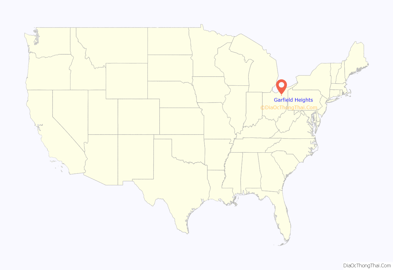
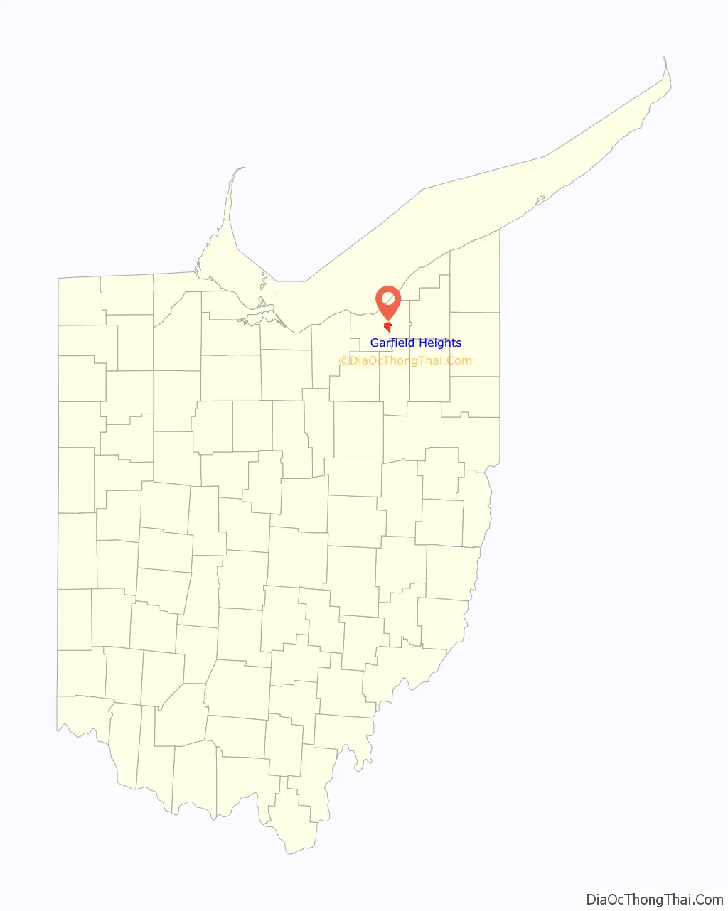
Garfield Heights location map. Where is Garfield Heights city?
History
The area was originally part of Newburgh Township. The Village of South Newburgh was formed in 1907, and it was incorporated as Garfield Heights in 1930. The city is named after Garfield Park, which in turn was named in honor of President James A. Garfield.
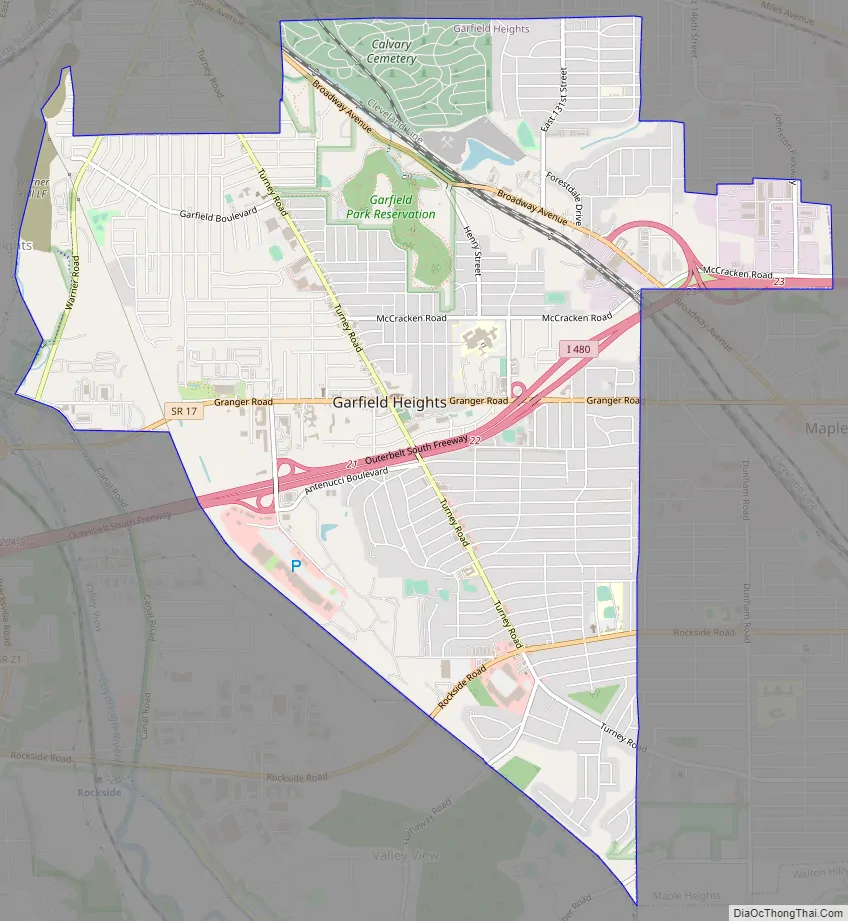
Garfield Heights Road Map
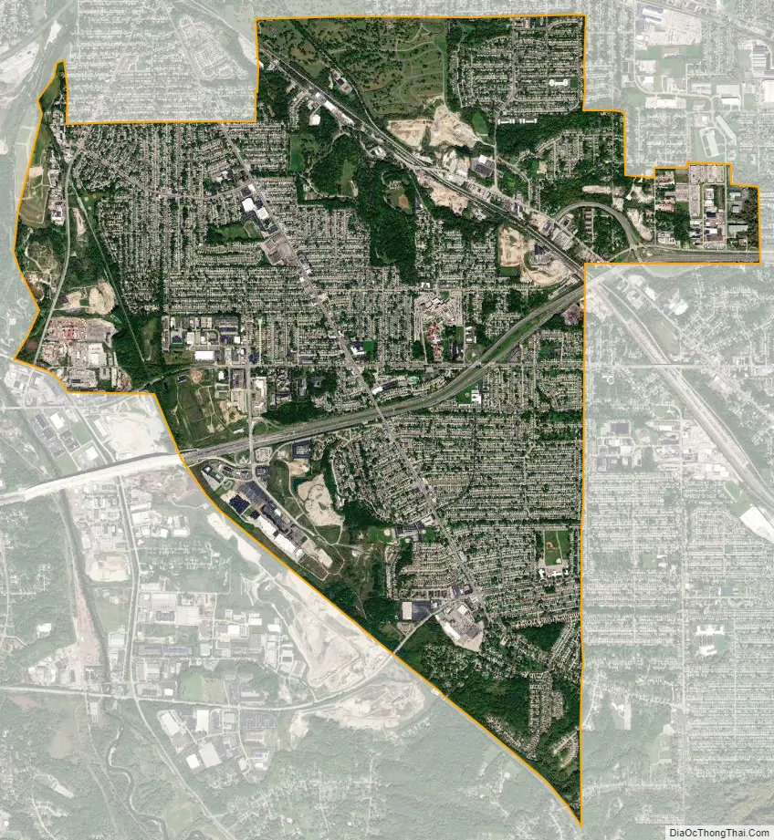
Garfield Heights city Satellite Map
Geography
Garfield Heights is located at 41°25′17″N 81°36′10″W / 41.42139°N 81.60278°W / 41.42139; -81.60278 (41.421423, -81.602682).
According to the United States Census Bureau, the city has a total area of 7.29 square miles (18.88 km), of which 7.23 square miles (18.73 km) is land and 0.06 square miles (0.16 km) is water. The elevation of Garfield Heights is 831 feet (253 m) above sea level where it borders Cleveland, and its highest elevation is 972 feet (296 m) above sea level at the Garfield Heights Justice Center.
See also
Map of Ohio State and its subdivision:- Adams
- Allen
- Ashland
- Ashtabula
- Athens
- Auglaize
- Belmont
- Brown
- Butler
- Carroll
- Champaign
- Clark
- Clermont
- Clinton
- Columbiana
- Coshocton
- Crawford
- Cuyahoga
- Darke
- Defiance
- Delaware
- Erie
- Fairfield
- Fayette
- Franklin
- Fulton
- Gallia
- Geauga
- Greene
- Guernsey
- Hamilton
- Hancock
- Hardin
- Harrison
- Henry
- Highland
- Hocking
- Holmes
- Huron
- Jackson
- Jefferson
- Knox
- Lake
- Lake Erie
- Lawrence
- Licking
- Logan
- Lorain
- Lucas
- Madison
- Mahoning
- Marion
- Medina
- Meigs
- Mercer
- Miami
- Monroe
- Montgomery
- Morgan
- Morrow
- Muskingum
- Noble
- Ottawa
- Paulding
- Perry
- Pickaway
- Pike
- Portage
- Preble
- Putnam
- Richland
- Ross
- Sandusky
- Scioto
- Seneca
- Shelby
- Stark
- Summit
- Trumbull
- Tuscarawas
- Union
- Van Wert
- Vinton
- Warren
- Washington
- Wayne
- Williams
- Wood
- Wyandot
- Alabama
- Alaska
- Arizona
- Arkansas
- California
- Colorado
- Connecticut
- Delaware
- District of Columbia
- Florida
- Georgia
- Hawaii
- Idaho
- Illinois
- Indiana
- Iowa
- Kansas
- Kentucky
- Louisiana
- Maine
- Maryland
- Massachusetts
- Michigan
- Minnesota
- Mississippi
- Missouri
- Montana
- Nebraska
- Nevada
- New Hampshire
- New Jersey
- New Mexico
- New York
- North Carolina
- North Dakota
- Ohio
- Oklahoma
- Oregon
- Pennsylvania
- Rhode Island
- South Carolina
- South Dakota
- Tennessee
- Texas
- Utah
- Vermont
- Virginia
- Washington
- West Virginia
- Wisconsin
- Wyoming


