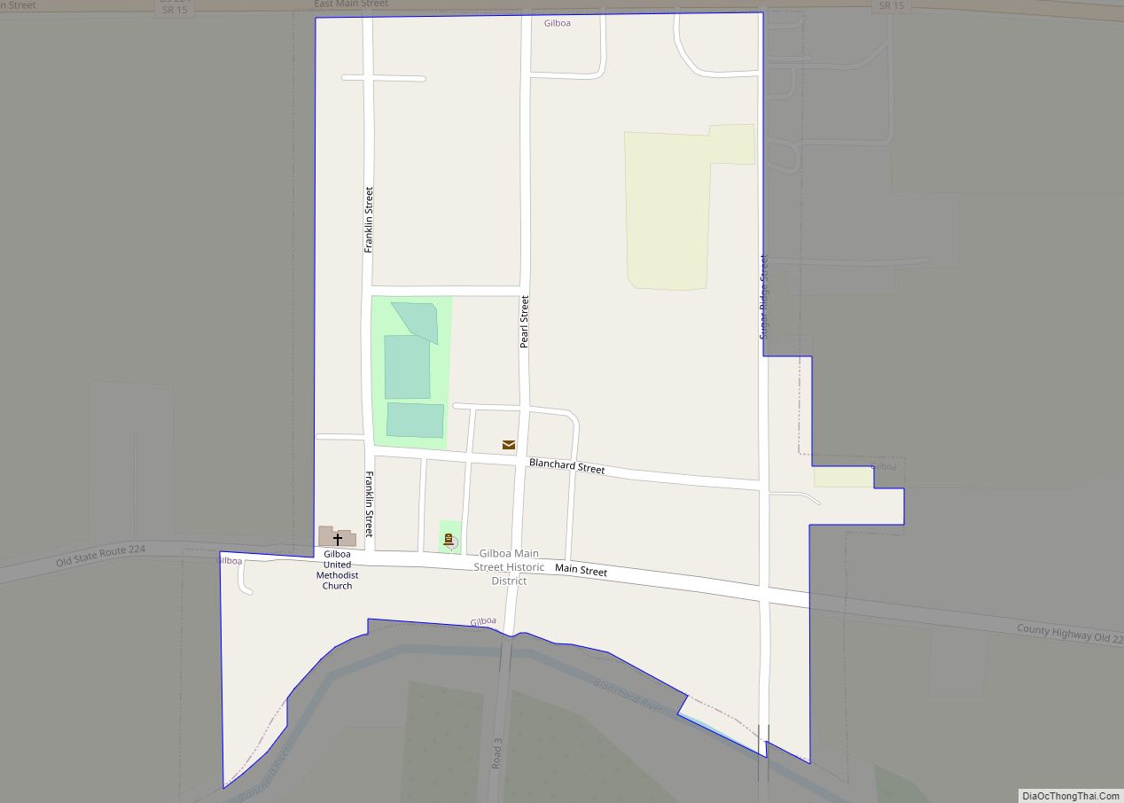
Gilboa is a village in Putnam County, Ohio, United States. The village is named after Mount Gilboa. The population was 184 at the 2010 census.
| Name: | Gilboa village |
|---|---|
| LSAD Code: | 47 |
| LSAD Description: | village (suffix) |
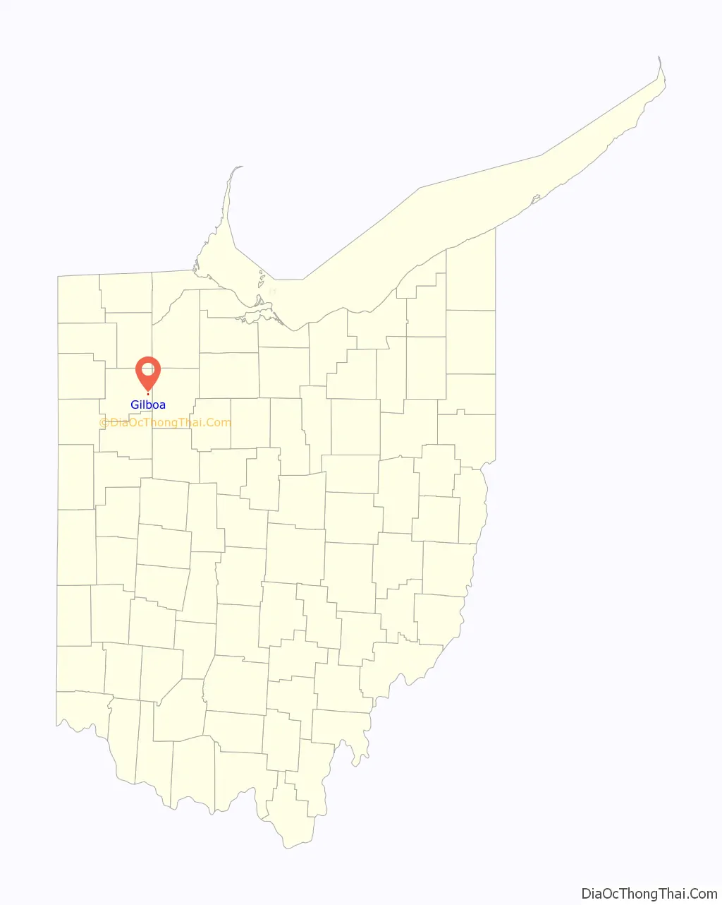
| State: | Ohio |
| County: | Putnam County |
| Elevation: | 748 ft (228 m) |
| Total Area: | 0.13 sq mi (0.34 km²) |
| Land Area: | 0.13 sq mi (0.34 km²) |
| Water Area: | 0.00 sq mi (0.00 km²) |
| Total Population: | 168 |
| Population Density: | 1,282.44/sq mi (494.36/km²) |
| ZIP code: | 45875 |
| Area code: | 419 |
| FIPS code: | 3930114 |
| GNISfeature ID: | 1048782 |
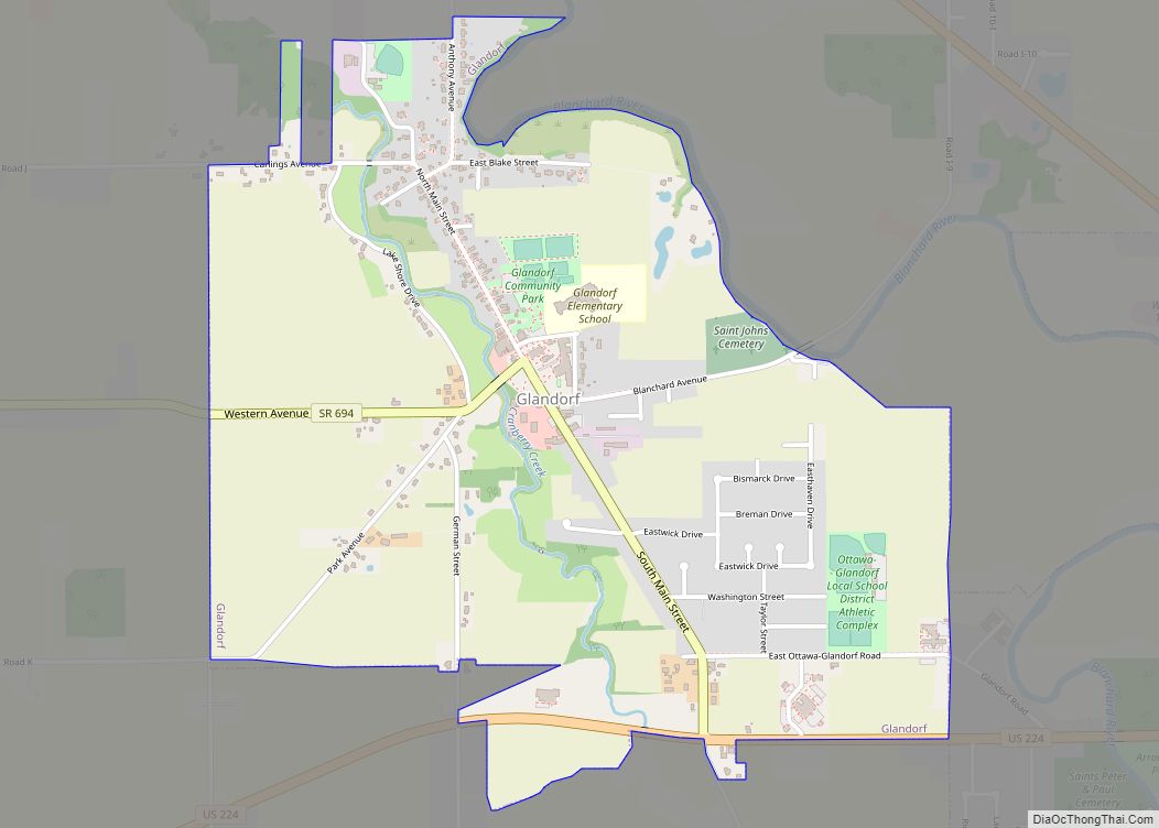
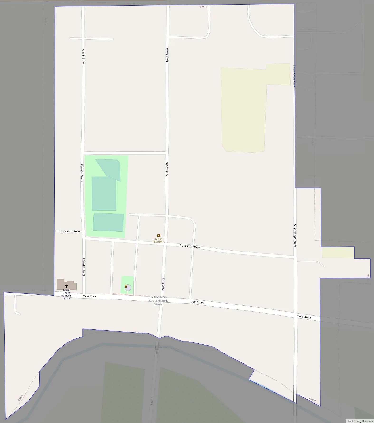
Online Interactive Map
Click on ![]() to view map in "full screen" mode.
to view map in "full screen" mode.
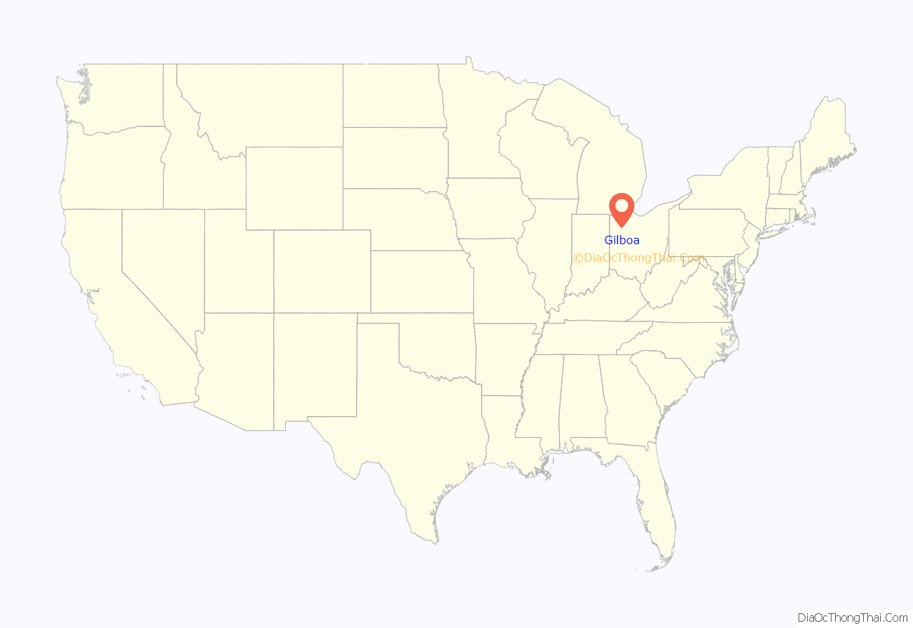
Gilboa location map. Where is Gilboa village?
History
Gilboa was laid out in 1837. The village was incorporated in 1848. A post office was established at Gilboa in 1843, and remained in operation until 1985.
On August 6, 1852, a cholera epidemic struck Gilboa. The start of the epidemic was traced to a large damp cellar that had been used to store trash and decomposing waste. The epidemic lasted until August 21 and killed 13 Gilboa residents including one of the two doctors that had not fled. Out of the estimated 600 population, all but 40 fled including four of Gilboa’s six doctors.
Gilboa Road Map
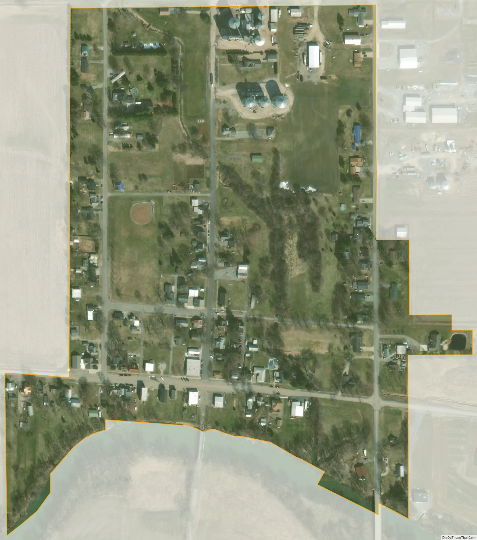
Gilboa city Satellite Map
Geography
Gilboa is located at 41°1′2″N 83°55′16″W / 41.01722°N 83.92111°W / 41.01722; -83.92111 (41.017329, -83.921143).
According to the United States Census Bureau, the village has a total area of 0.15 square miles (0.39 km), all land.
See also
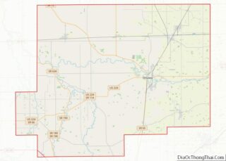
Map of Ohio State and its subdivision:- Adams
- Allen
- Ashland
- Ashtabula
- Athens
- Auglaize
- Belmont
- Brown
- Butler
- Carroll
- Champaign
- Clark
- Clermont
- Clinton
- Columbiana
- Coshocton
- Crawford
- Cuyahoga
- Darke
- Defiance
- Delaware
- Erie
- Fairfield
- Fayette
- Franklin
- Fulton
- Gallia
- Geauga
- Greene
- Guernsey
- Hamilton
- Hancock
- Hardin
- Harrison
- Henry
- Highland
- Hocking
- Holmes
- Huron
- Jackson
- Jefferson
- Knox
- Lake
- Lake Erie
- Lawrence
- Licking
- Logan
- Lorain
- Lucas
- Madison
- Mahoning
- Marion
- Medina
- Meigs
- Mercer
- Miami
- Monroe
- Montgomery
- Morgan
- Morrow
- Muskingum
- Noble
- Ottawa
- Paulding
- Perry
- Pickaway
- Pike
- Portage
- Preble
- Putnam
- Richland
- Ross
- Sandusky
- Scioto
- Seneca
- Shelby
- Stark
- Summit
- Trumbull
- Tuscarawas
- Union
- Van Wert
- Vinton
- Warren
- Washington
- Wayne
- Williams
- Wood
- Wyandot
- Alabama
- Alaska
- Arizona
- Arkansas
- California
- Colorado
- Connecticut
- Delaware
- District of Columbia
- Florida
- Georgia
- Hawaii
- Idaho
- Illinois
- Indiana
- Iowa
- Kansas
- Kentucky
- Louisiana
- Maine
- Maryland
- Massachusetts
- Michigan
- Minnesota
- Mississippi
- Missouri
- Montana
- Nebraska
- Nevada
- New Hampshire
- New Jersey
- New Mexico
- New York
- North Carolina
- North Dakota
- Ohio
- Oklahoma
- Oregon
- Pennsylvania
- Rhode Island
- South Carolina
- South Dakota
- Tennessee
- Texas
- Utah
- Vermont
- Virginia
- Washington
- West Virginia
- Wisconsin
- Wyoming