Grandview is a census-designated place (CDP) in Hamilton County, Ohio, United States. The population was 1,312 at the 2020 census.
| Name: | Grandview CDP |
|---|---|
| LSAD Code: | 57 |
| LSAD Description: | CDP (suffix) |
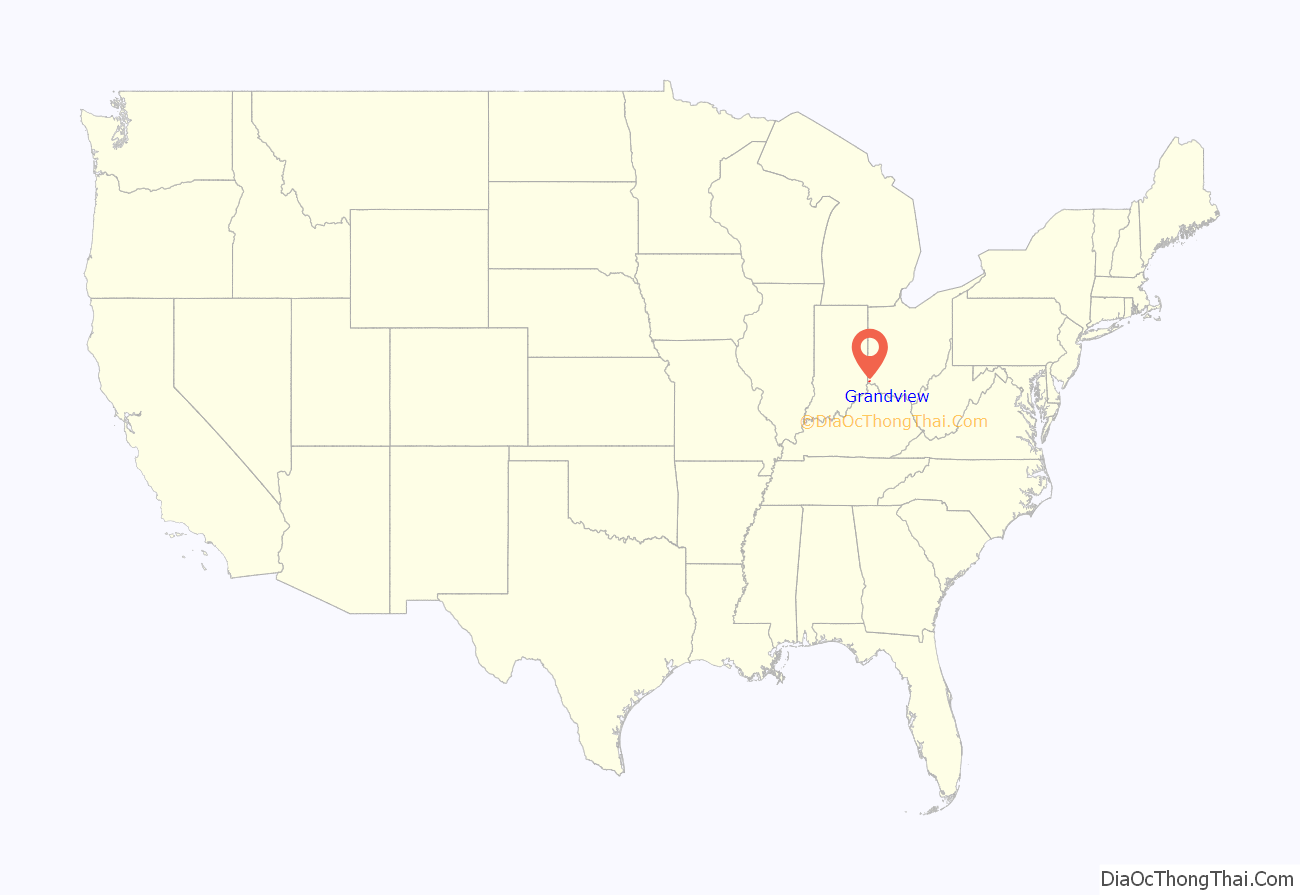
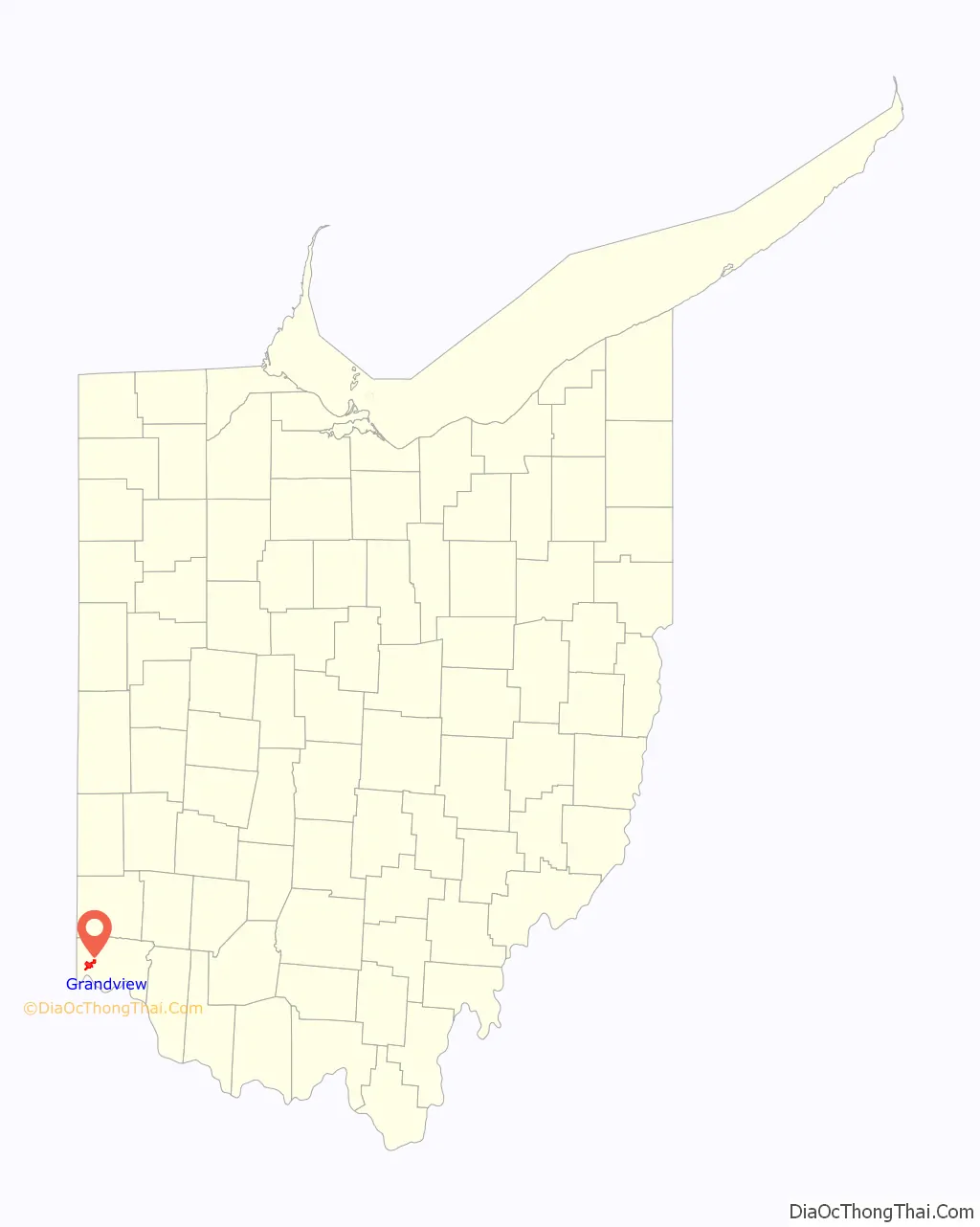
| State: | Ohio |
| County: | Hamilton County |
| Total Area: | 4.64 sq mi (12.02 km²) |
| Land Area: | 4.34 sq mi (11.25 km²) |
| Water Area: | 0.30 sq mi (0.77 km²) |
| Total Population: | 1,312 |
| Population Density: | 302.10/sq mi (116.63/km²) |
| FIPS code: | 3931262 |
| GNISfeature ID: | 1867454 |
Online Interactive Map
Click on ![]() to view map in "full screen" mode.
to view map in "full screen" mode.
Grandview location map. Where is Grandview CDP?
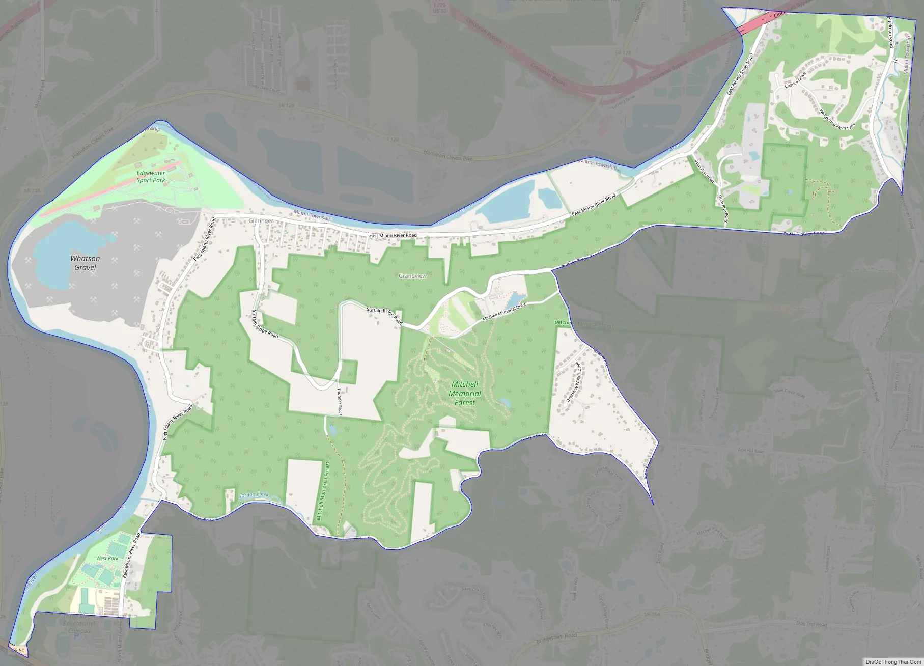
Grandview Road Map
Grandview city Satellite Map
Geography
Grandview is located at 39°11′40″N 84°43′28″W / 39.19444°N 84.72444°W / 39.19444; -84.72444 (39.194308, -84.724338).
According to the United States Census Bureau, the CDP has a total area of 4.7 square miles (12.1 km), of which 4.4 square miles (11.3 km) is land and 0.31 square miles (0.8 km), or 6.63%, is water.
The Interstate 74 and Interstate 275 concurrency runs through the far northeast corner of Grandview, but with no exits in the community limits. East Miami River Road runs through the area as well. It goes all the way from Fairfield, Ohio to Cleves, Ohio.
The following areas are adjacent to Grandview:
To the North and West
- Whitewater Township, Hamilton County, Ohio
To the Northeast:
- Colerain Township, Hamilton County, Ohio
To the East and South:
- Miami Township, Hamilton County, Ohio
To the Southwest:
See also
Map of Ohio State and its subdivision:- Adams
- Allen
- Ashland
- Ashtabula
- Athens
- Auglaize
- Belmont
- Brown
- Butler
- Carroll
- Champaign
- Clark
- Clermont
- Clinton
- Columbiana
- Coshocton
- Crawford
- Cuyahoga
- Darke
- Defiance
- Delaware
- Erie
- Fairfield
- Fayette
- Franklin
- Fulton
- Gallia
- Geauga
- Greene
- Guernsey
- Hamilton
- Hancock
- Hardin
- Harrison
- Henry
- Highland
- Hocking
- Holmes
- Huron
- Jackson
- Jefferson
- Knox
- Lake
- Lake Erie
- Lawrence
- Licking
- Logan
- Lorain
- Lucas
- Madison
- Mahoning
- Marion
- Medina
- Meigs
- Mercer
- Miami
- Monroe
- Montgomery
- Morgan
- Morrow
- Muskingum
- Noble
- Ottawa
- Paulding
- Perry
- Pickaway
- Pike
- Portage
- Preble
- Putnam
- Richland
- Ross
- Sandusky
- Scioto
- Seneca
- Shelby
- Stark
- Summit
- Trumbull
- Tuscarawas
- Union
- Van Wert
- Vinton
- Warren
- Washington
- Wayne
- Williams
- Wood
- Wyandot
- Alabama
- Alaska
- Arizona
- Arkansas
- California
- Colorado
- Connecticut
- Delaware
- District of Columbia
- Florida
- Georgia
- Hawaii
- Idaho
- Illinois
- Indiana
- Iowa
- Kansas
- Kentucky
- Louisiana
- Maine
- Maryland
- Massachusetts
- Michigan
- Minnesota
- Mississippi
- Missouri
- Montana
- Nebraska
- Nevada
- New Hampshire
- New Jersey
- New Mexico
- New York
- North Carolina
- North Dakota
- Ohio
- Oklahoma
- Oregon
- Pennsylvania
- Rhode Island
- South Carolina
- South Dakota
- Tennessee
- Texas
- Utah
- Vermont
- Virginia
- Washington
- West Virginia
- Wisconsin
- Wyoming


