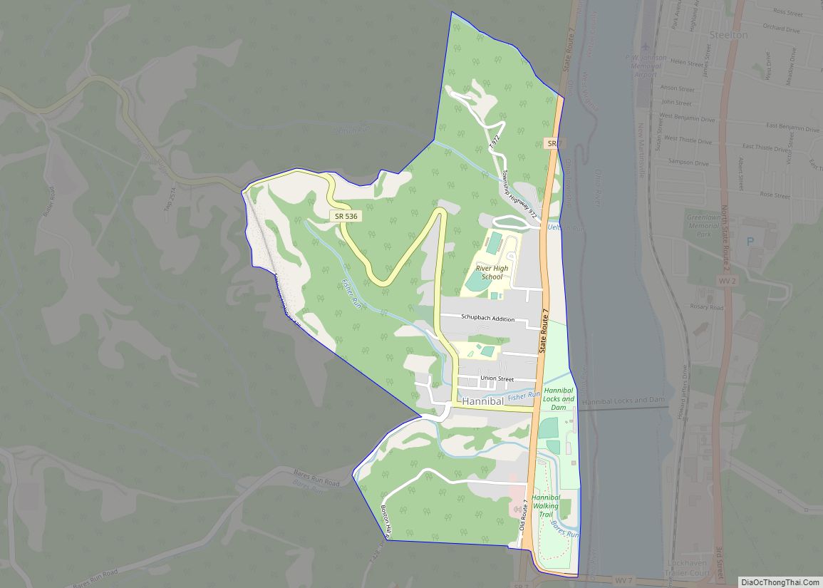
Hannibal is a census-designated place in eastern Ohio Township, Monroe County, Ohio, United States. It has a post office with the ZIP code 43931. In the 2020 Census, it had a population of 314.
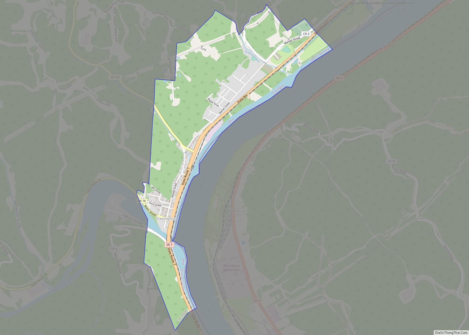
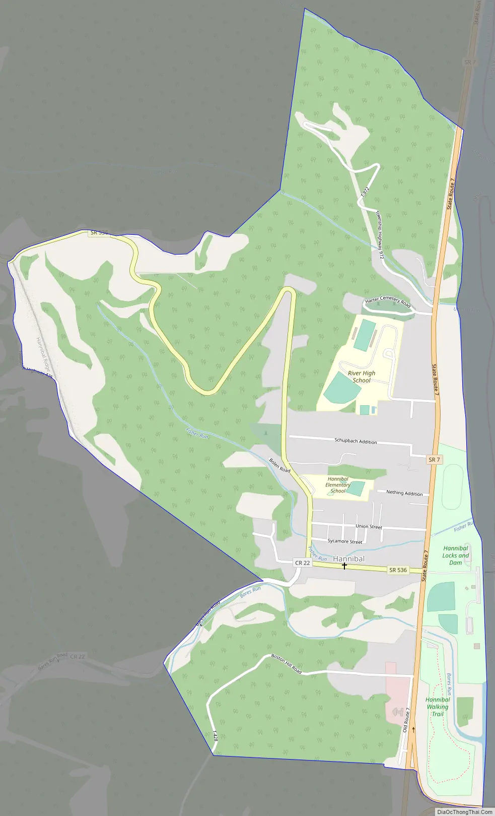
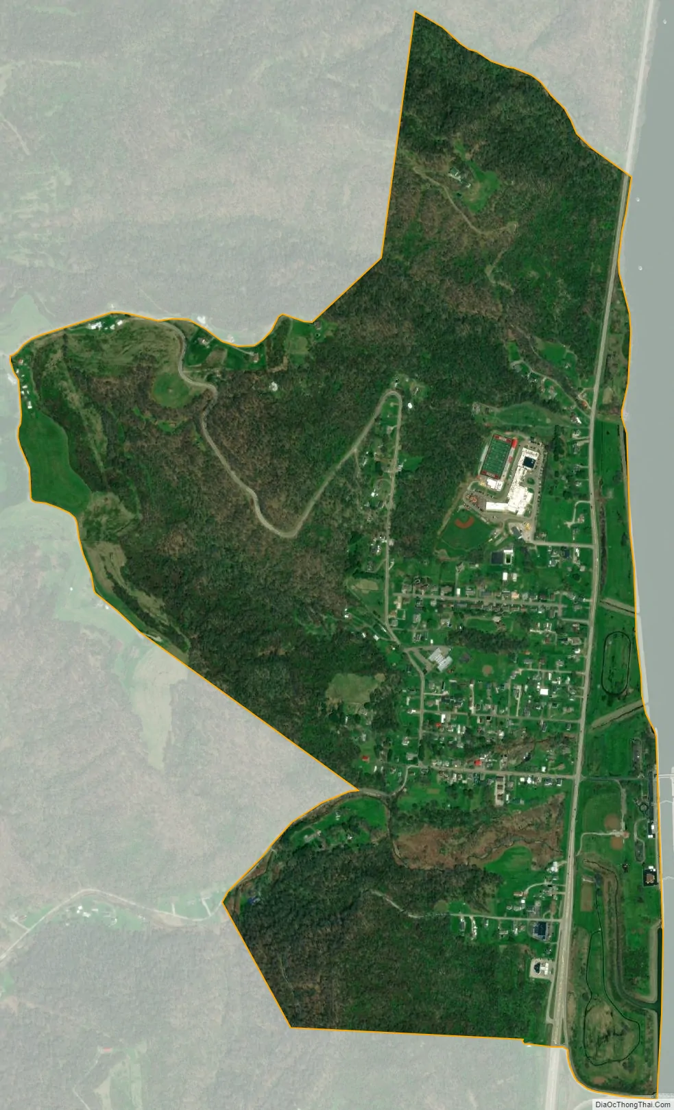
Hannibal lies along Ohio State Route 7, near an intersection with Ohio State Route 536. It is located along the Ohio River, and is home to the Hannibal Locks and Dam. The town lies below Clarington and above Sardis. Hannibal is also connected to New Martinsville, West Virginia via the New Martinsville Bridge.
Hannibal was originally called “Baresville,” named for the founder Jacob Bare. A post office called Hannibal was opened and the town’s name was soon changed to match.
Hannibal is served by the Switzerland of Ohio Local School District, and is home to the K-12 building that houses both River Elementary School and River High School.
| Name: | Hannibal CDP |
|---|---|
| LSAD Code: | 57 |
| LSAD Description: | CDP (suffix) |
| State: | Ohio |
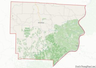
| County: | Monroe County |
| Elevation: | 680 ft (210 m) |
| Total Area: | 1.11 sq mi (2.89 km²) |
| Land Area: | 1.11 sq mi (2.89 km²) |
| Water Area: | 0.00 sq mi (0.00 km²) |
| Total Population: | 314 |
| Population Density: | 281.61/sq mi (108.73/km²) |
| ZIP code: | 43931 |
| Area code: | 740 |
| FIPS code: | 3933222 |
| GNISfeature ID: | 2628898 |
Online Interactive Map
Click on ![]() to view map in "full screen" mode.
to view map in "full screen" mode.
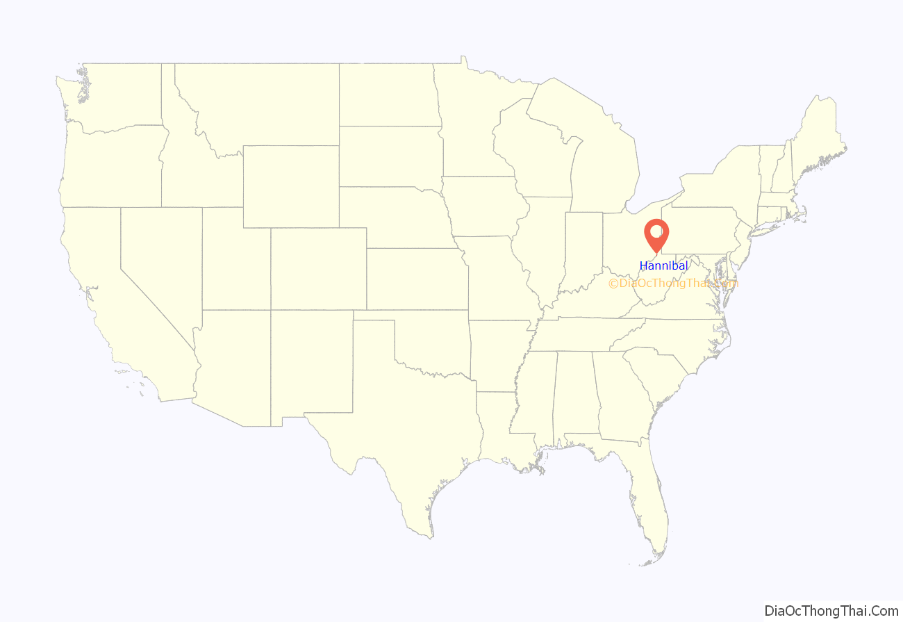
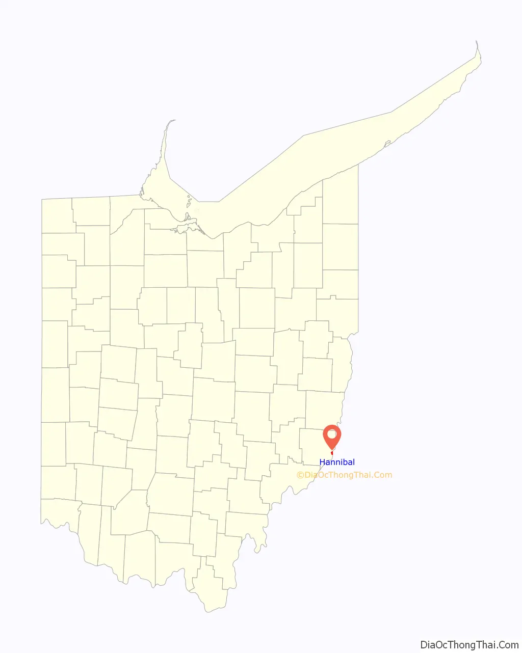
Hannibal location map. Where is Hannibal CDP?
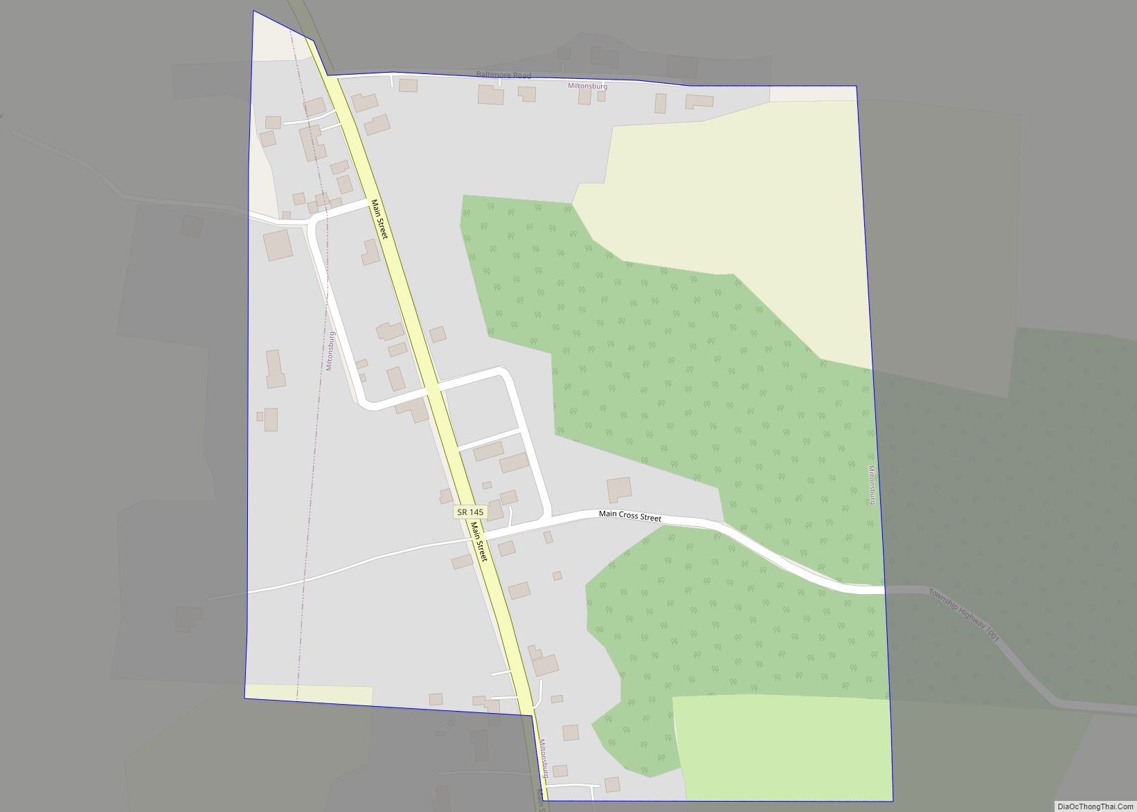
Hannibal Road Map
Hannibal city Satellite Map
Geography
Hannibal is located at 39°40′7″N 80°52′25″W / 39.66861°N 80.87361°W / 39.66861; -80.87361 (39.6718, -80.8741). According to the United States Census Bureau, the CDP has a total area of 1.1 square miles (2.9 km), all of it land.
See also
Map of Ohio State and its subdivision:- Adams
- Allen
- Ashland
- Ashtabula
- Athens
- Auglaize
- Belmont
- Brown
- Butler
- Carroll
- Champaign
- Clark
- Clermont
- Clinton
- Columbiana
- Coshocton
- Crawford
- Cuyahoga
- Darke
- Defiance
- Delaware
- Erie
- Fairfield
- Fayette
- Franklin
- Fulton
- Gallia
- Geauga
- Greene
- Guernsey
- Hamilton
- Hancock
- Hardin
- Harrison
- Henry
- Highland
- Hocking
- Holmes
- Huron
- Jackson
- Jefferson
- Knox
- Lake
- Lake Erie
- Lawrence
- Licking
- Logan
- Lorain
- Lucas
- Madison
- Mahoning
- Marion
- Medina
- Meigs
- Mercer
- Miami
- Monroe
- Montgomery
- Morgan
- Morrow
- Muskingum
- Noble
- Ottawa
- Paulding
- Perry
- Pickaway
- Pike
- Portage
- Preble
- Putnam
- Richland
- Ross
- Sandusky
- Scioto
- Seneca
- Shelby
- Stark
- Summit
- Trumbull
- Tuscarawas
- Union
- Van Wert
- Vinton
- Warren
- Washington
- Wayne
- Williams
- Wood
- Wyandot
- Alabama
- Alaska
- Arizona
- Arkansas
- California
- Colorado
- Connecticut
- Delaware
- District of Columbia
- Florida
- Georgia
- Hawaii
- Idaho
- Illinois
- Indiana
- Iowa
- Kansas
- Kentucky
- Louisiana
- Maine
- Maryland
- Massachusetts
- Michigan
- Minnesota
- Mississippi
- Missouri
- Montana
- Nebraska
- Nevada
- New Hampshire
- New Jersey
- New Mexico
- New York
- North Carolina
- North Dakota
- Ohio
- Oklahoma
- Oregon
- Pennsylvania
- Rhode Island
- South Carolina
- South Dakota
- Tennessee
- Texas
- Utah
- Vermont
- Virginia
- Washington
- West Virginia
- Wisconsin
- Wyoming