Hanover is a village in Licking County, Ohio, United States. The population was 921 at the 2010 census. The village lies along SR 16.
| Name: | Hanover village |
|---|---|
| LSAD Code: | 47 |
| LSAD Description: | village (suffix) |
| State: | Ohio |
| County: | Licking County |
| Elevation: | 824 ft (251 m) |
| Total Area: | 1.84 sq mi (4.78 km²) |
| Land Area: | 1.83 sq mi (4.73 km²) |
| Water Area: | 0.02 sq mi (0.05 km²) |
| Total Population: | 1,270 |
| Population Density: | 695.13/sq mi (268.39/km²) |
| FIPS code: | 3933292 |
| GNISfeature ID: | 1064788 |
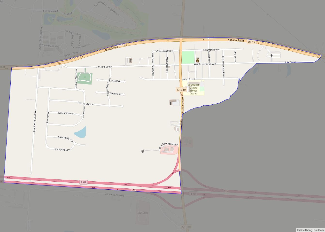
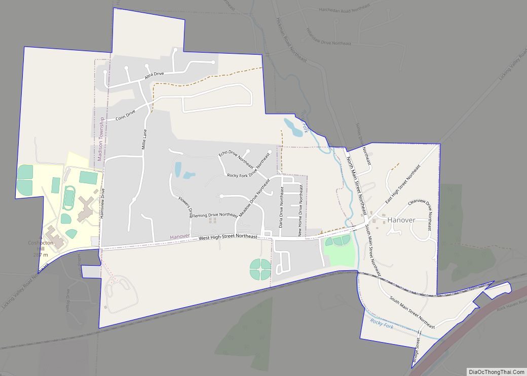
Online Interactive Map
Click on ![]() to view map in "full screen" mode.
to view map in "full screen" mode.
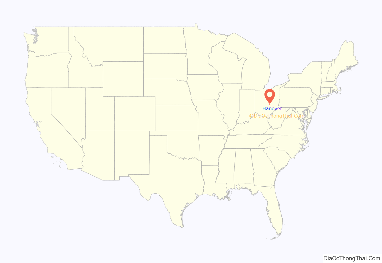
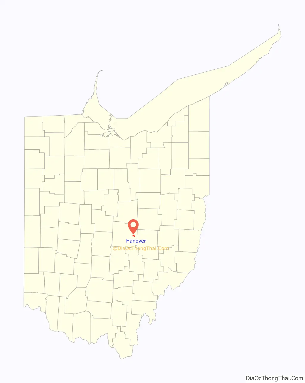
Hanover location map. Where is Hanover village?
History
Hanover was laid out in 1849, although there had been business activity at the site for some time. An early variant name was Fleming, for John Fleming, the original owner of the town site.
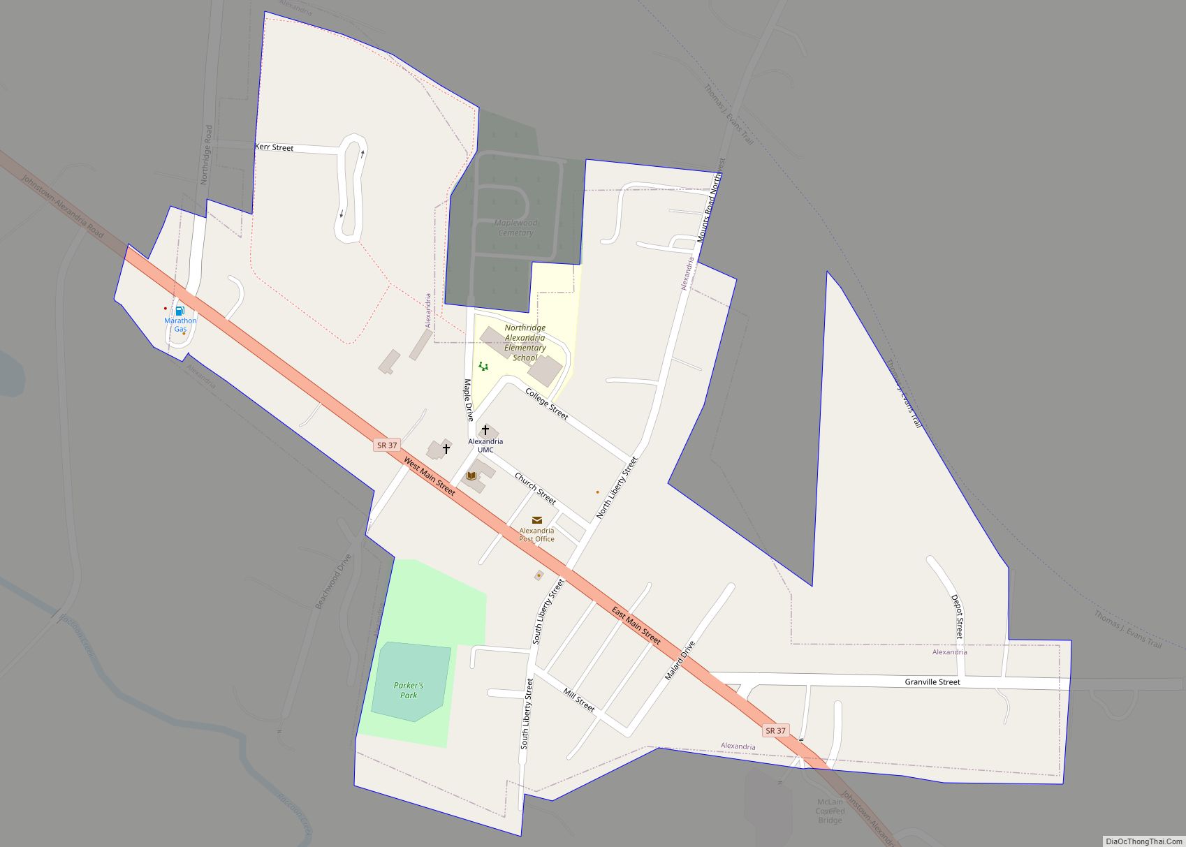
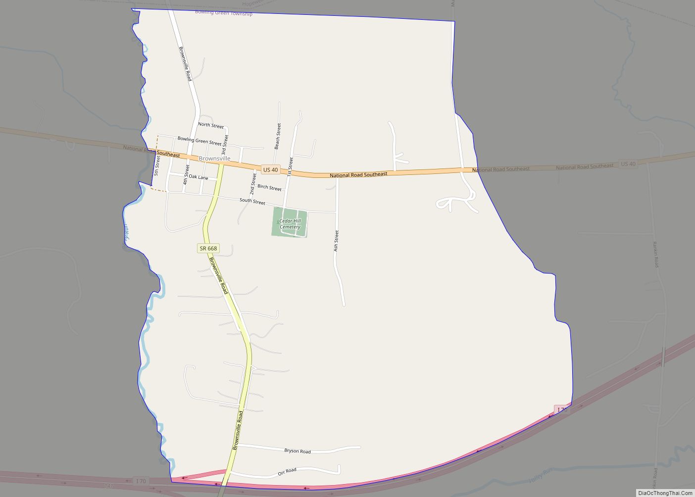
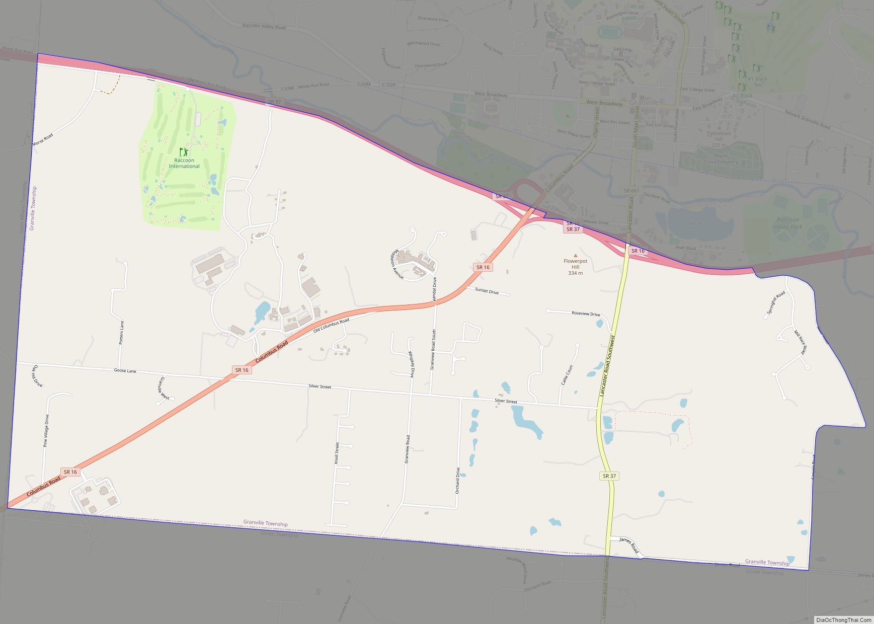
Hanover Road Map
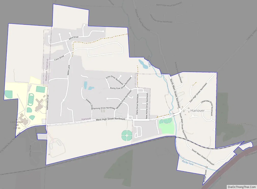
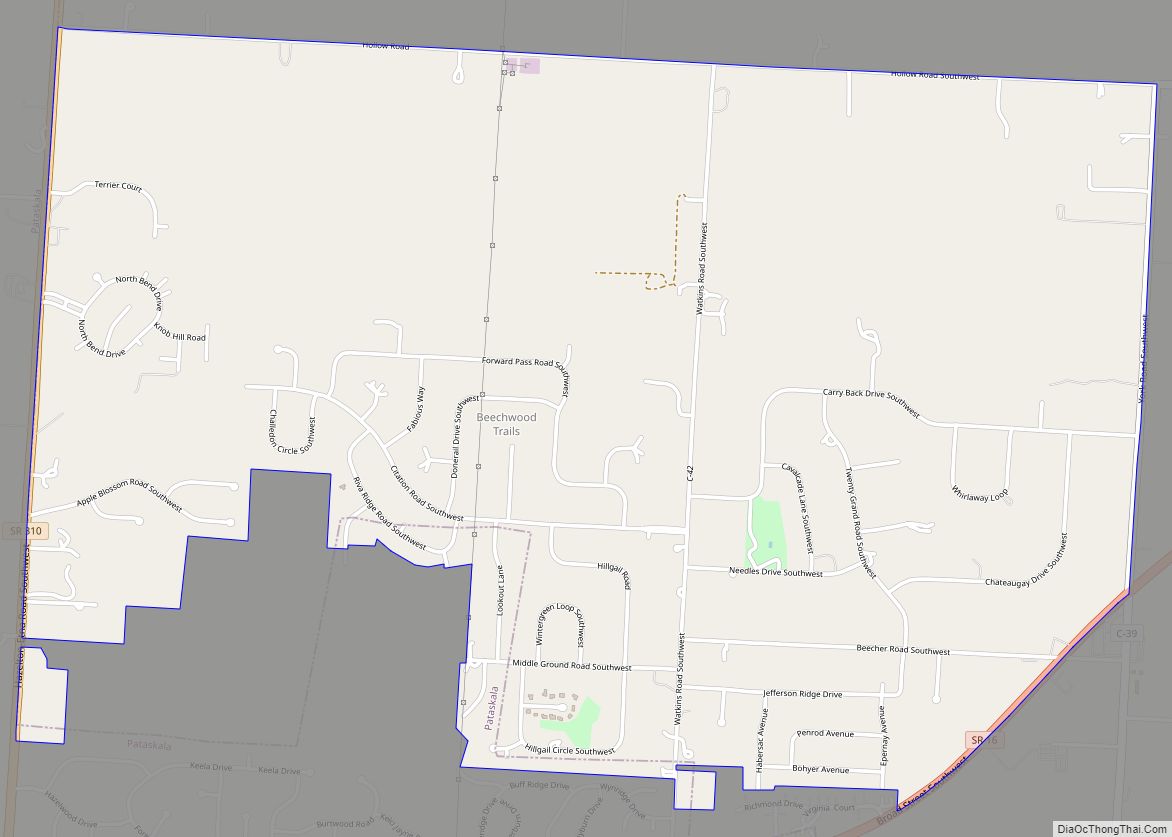
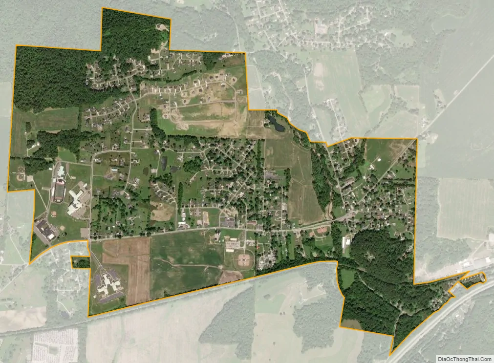
Hanover city Satellite Map
Geography
Hanover is located at 40°4′41″N 82°16′12″W / 40.07806°N 82.27000°W / 40.07806; -82.27000 (40.078109, -82.269869).
According to the United States Census Bureau, the village has a total area of 1.68 square miles (4.35 km), of which 1.66 square miles (4.30 km) is land and 0.02 square miles (0.05 km) is water.
See also
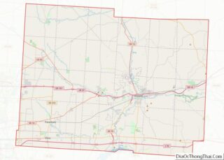
Map of Ohio State and its subdivision:- Adams
- Allen
- Ashland
- Ashtabula
- Athens
- Auglaize
- Belmont
- Brown
- Butler
- Carroll
- Champaign
- Clark
- Clermont
- Clinton
- Columbiana
- Coshocton
- Crawford
- Cuyahoga
- Darke
- Defiance
- Delaware
- Erie
- Fairfield
- Fayette
- Franklin
- Fulton
- Gallia
- Geauga
- Greene
- Guernsey
- Hamilton
- Hancock
- Hardin
- Harrison
- Henry
- Highland
- Hocking
- Holmes
- Huron
- Jackson
- Jefferson
- Knox
- Lake
- Lake Erie
- Lawrence
- Licking
- Logan
- Lorain
- Lucas
- Madison
- Mahoning
- Marion
- Medina
- Meigs
- Mercer
- Miami
- Monroe
- Montgomery
- Morgan
- Morrow
- Muskingum
- Noble
- Ottawa
- Paulding
- Perry
- Pickaway
- Pike
- Portage
- Preble
- Putnam
- Richland
- Ross
- Sandusky
- Scioto
- Seneca
- Shelby
- Stark
- Summit
- Trumbull
- Tuscarawas
- Union
- Van Wert
- Vinton
- Warren
- Washington
- Wayne
- Williams
- Wood
- Wyandot
- Alabama
- Alaska
- Arizona
- Arkansas
- California
- Colorado
- Connecticut
- Delaware
- District of Columbia
- Florida
- Georgia
- Hawaii
- Idaho
- Illinois
- Indiana
- Iowa
- Kansas
- Kentucky
- Louisiana
- Maine
- Maryland
- Massachusetts
- Michigan
- Minnesota
- Mississippi
- Missouri
- Montana
- Nebraska
- Nevada
- New Hampshire
- New Jersey
- New Mexico
- New York
- North Carolina
- North Dakota
- Ohio
- Oklahoma
- Oregon
- Pennsylvania
- Rhode Island
- South Carolina
- South Dakota
- Tennessee
- Texas
- Utah
- Vermont
- Virginia
- Washington
- West Virginia
- Wisconsin
- Wyoming