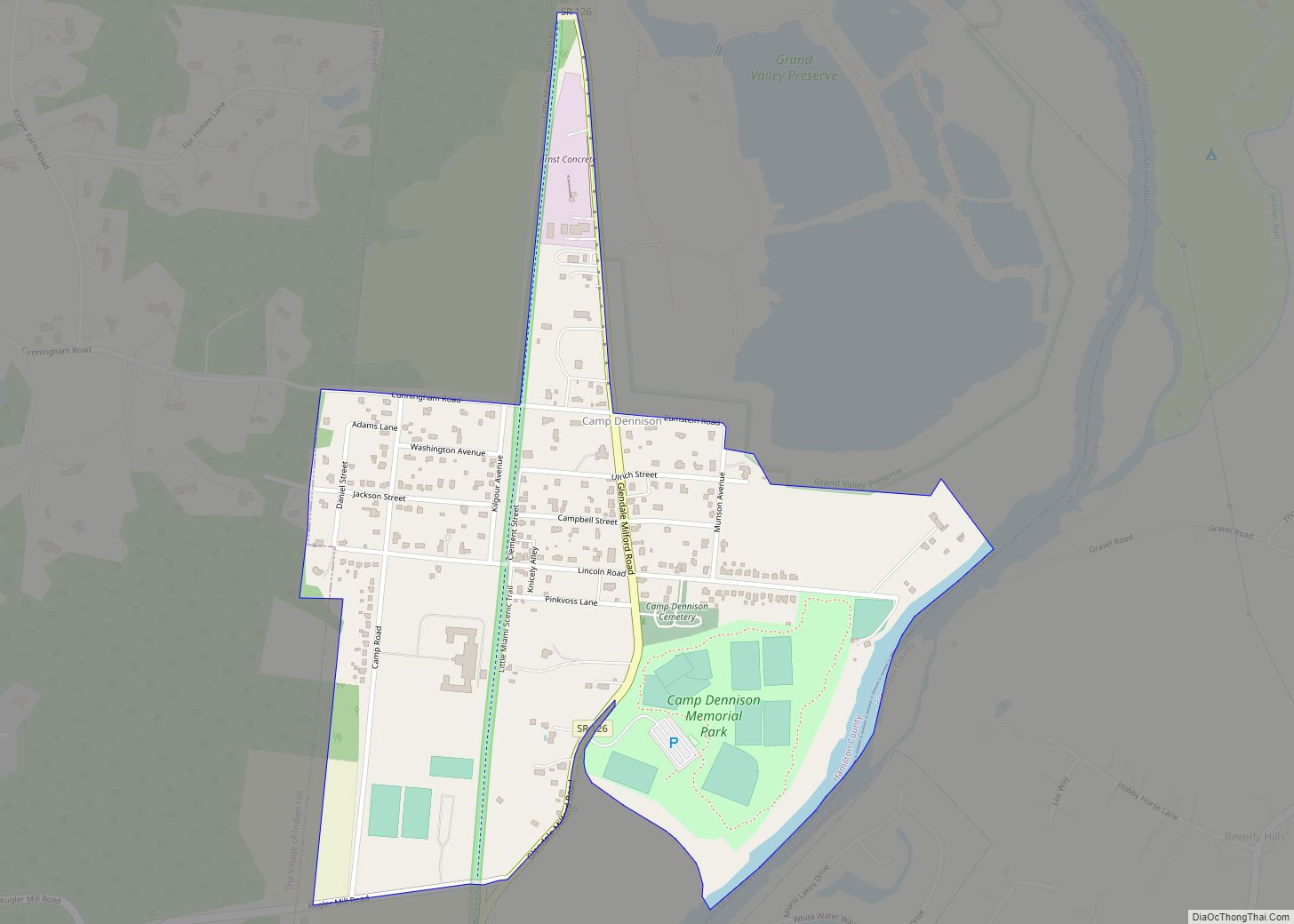
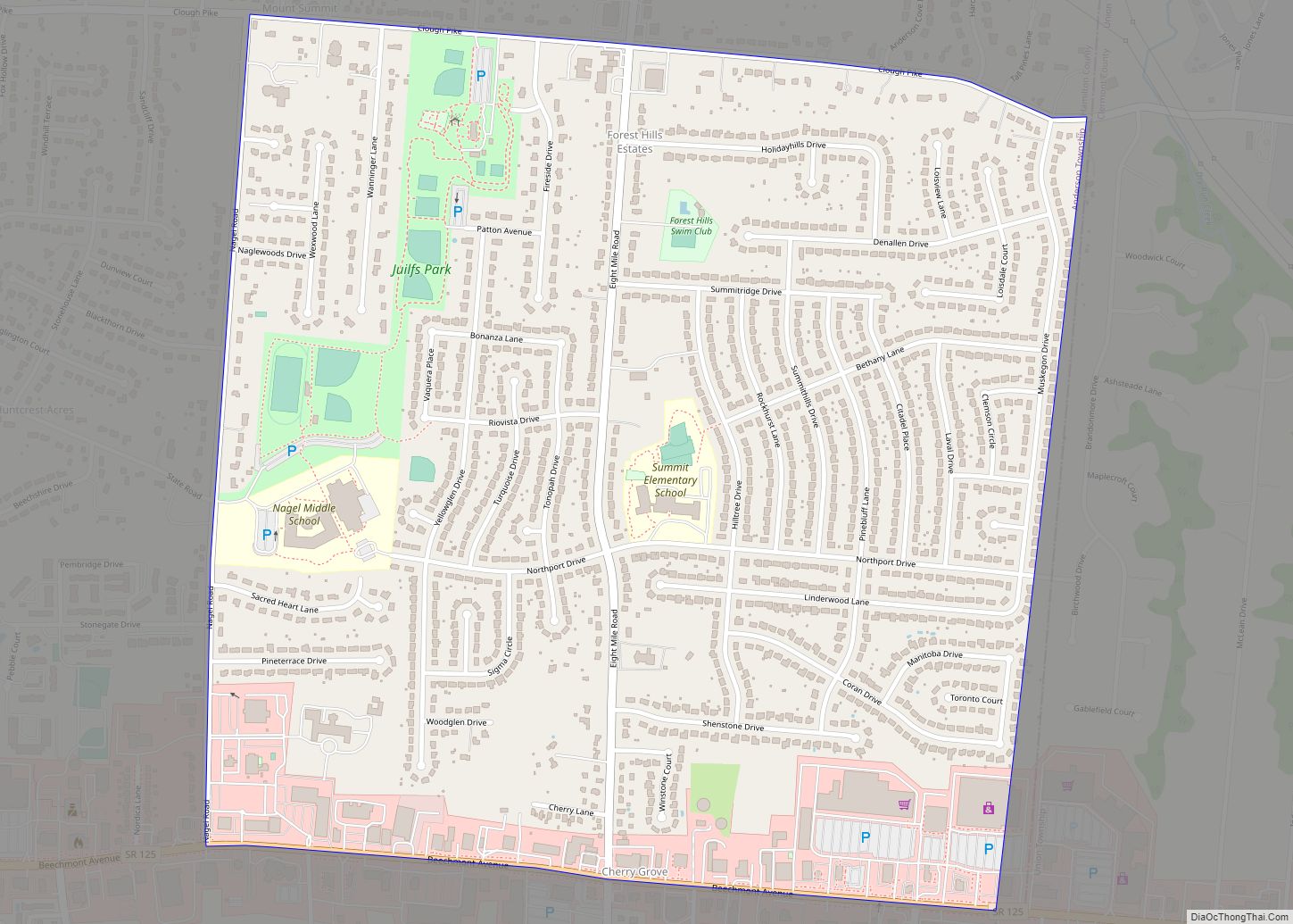
Harrison is a city in western Hamilton County, Ohio, United States. The population was 12,563 at the 2020 census. It is part of the Cincinnati metropolitan area.
| Name: | Harrison city |
|---|---|
| LSAD Code: | 25 |
| LSAD Description: | city (suffix) |
| State: | Ohio |
| County: | Hamilton County |
| Elevation: | 522 ft (159 m) |
| Total Area: | 5.37 sq mi (13.91 km²) |
| Land Area: | 5.34 sq mi (13.83 km²) |
| Water Area: | 0.03 sq mi (0.08 km²) |
| Total Population: | 12,563 |
| Population Density: | 2,352.18/sq mi (908.17/km²) |
| ZIP code: | 45030 |
| Area code: | 513 |
| FIPS code: | 3933838 |
| GNISfeature ID: | 1041362 |
| Website: | www.harrisonohio.gov |
Online Interactive Map
Click on ![]() to view map in "full screen" mode.
to view map in "full screen" mode.
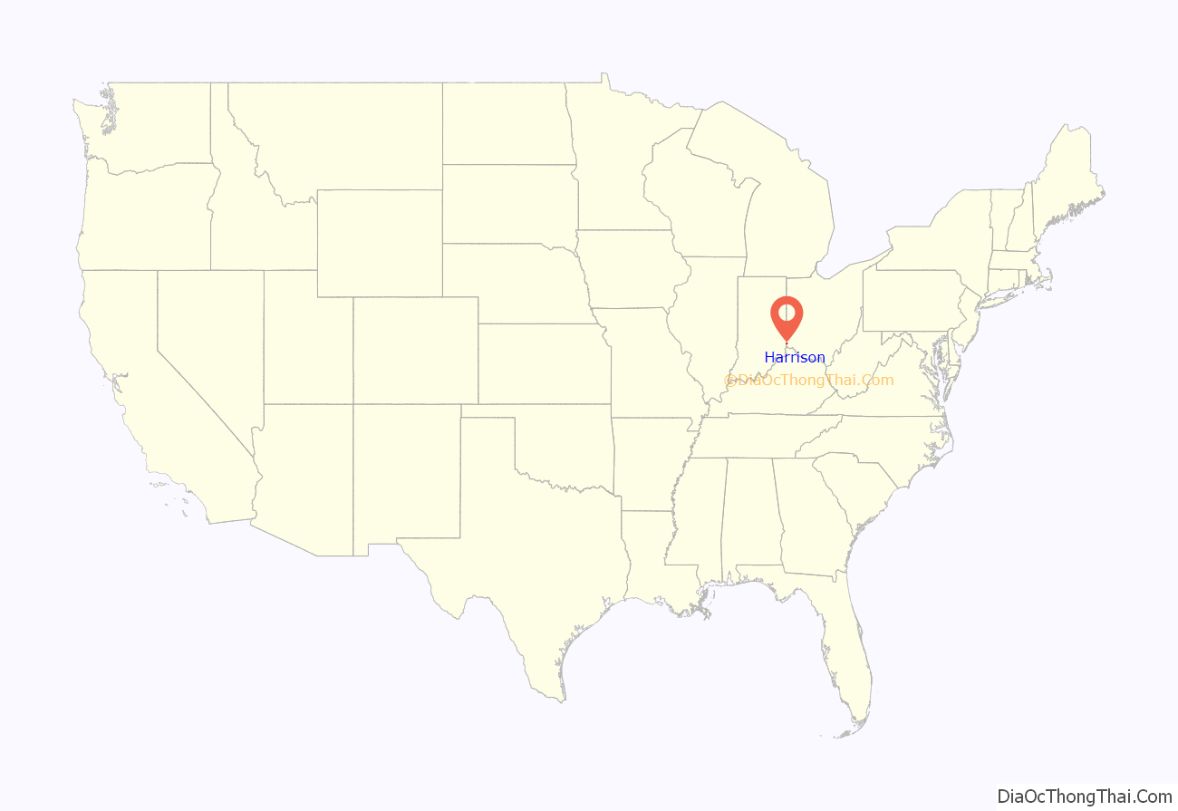
Harrison location map. Where is Harrison city?
History
Harrison was laid out in 1810, named in honor of William Henry Harrison, a decorated general and state legislator and afterward the ninth president of the United States. It was incorporated in 1850 and became a city in 1981.
Harrison Township was established in 1850, formerly part of Crosby Township. Among the historic sites in the city’s vicinity is the Eighteen Mile House, which was built during the earliest years of the nineteenth century.
Harrison was the home of Ohio’s fifth governor Othneil Looker. It was one of the few stops in Ohio on the Whitewater Canal, built between 1836 and 1847, which spanned a distance of 76 miles (122 km).
On July 13, 1863, Morgan’s Raiders, a Confederate cavalry force, invaded. The column passed through taking fresh horses and burning the bridge over the Whitewater River near the southwest part of the town. The first train came to Harrison Township in 1864. In 1882 Harrison Depot was built at West Broadway and Railroad Avenue. It later burned to the ground.
Harrison Village Park is the final resting place for a small number of veterans of the Revolutionary War. In the center of the park is a bandstand, built in the early 1930s on the site of a fountain that had been drained and filled in. It seems many children came down with cases of impetigo after spending a hot summer swimming in the fountain full of untreated water.
In 1940 the dog track in West Harrison closed due to pressure from the horse racing circuit. Monkeys in silk jackets had been used as jockeys for the dogs. The track had originally opened in 1932, when parimutuel betting was illegal in Indiana. However, during the Depression, heads were turned as the track attracted revenue to the area and was one of the highest paying local jobs at $12 a week.
Parts of the city were devastated on June 2, 1990, by an F4 tornado, but were quickly rebuilt. The American Watchmakers-Clockmakers Institute is headquartered in Harrison.
Harrison is home to the headquarters of the American Watchmakers-Clockmakers Institute.
Harrison Road Map
Harrison city Satellite Map
Geography
Harrison is located in northwestern Hamilton County at 39°15′29″N 84°48′16″W / 39.25806°N 84.80444°W / 39.25806; -84.80444 (39.257931, -84.804535). It is bordered to the west by the town of West Harrison, Indiana.
Interstate 74 passes through the city, east of the downtown area, with access from Exits 1 and 3. I-74 leads southeast 21 miles (34 km) to Cincinnati and northwest 93 miles (150 km) to Indianapolis.
According to the United States Census Bureau, the city of Harrison has a total area of 4.96 square miles (12.85 km), of which 4.92 square miles (12.74 km) are land and 0.04 square miles (0.10 km) are water.
Harrison is adjacent to Miami Whitewater Forest, the second park to join the Hamilton County Park District in 1949. It now spans 4,345 acres (17.58 km).
See also
Map of Ohio State and its subdivision:- Adams
- Allen
- Ashland
- Ashtabula
- Athens
- Auglaize
- Belmont
- Brown
- Butler
- Carroll
- Champaign
- Clark
- Clermont
- Clinton
- Columbiana
- Coshocton
- Crawford
- Cuyahoga
- Darke
- Defiance
- Delaware
- Erie
- Fairfield
- Fayette
- Franklin
- Fulton
- Gallia
- Geauga
- Greene
- Guernsey
- Hamilton
- Hancock
- Hardin
- Harrison
- Henry
- Highland
- Hocking
- Holmes
- Huron
- Jackson
- Jefferson
- Knox
- Lake
- Lake Erie
- Lawrence
- Licking
- Logan
- Lorain
- Lucas
- Madison
- Mahoning
- Marion
- Medina
- Meigs
- Mercer
- Miami
- Monroe
- Montgomery
- Morgan
- Morrow
- Muskingum
- Noble
- Ottawa
- Paulding
- Perry
- Pickaway
- Pike
- Portage
- Preble
- Putnam
- Richland
- Ross
- Sandusky
- Scioto
- Seneca
- Shelby
- Stark
- Summit
- Trumbull
- Tuscarawas
- Union
- Van Wert
- Vinton
- Warren
- Washington
- Wayne
- Williams
- Wood
- Wyandot
- Alabama
- Alaska
- Arizona
- Arkansas
- California
- Colorado
- Connecticut
- Delaware
- District of Columbia
- Florida
- Georgia
- Hawaii
- Idaho
- Illinois
- Indiana
- Iowa
- Kansas
- Kentucky
- Louisiana
- Maine
- Maryland
- Massachusetts
- Michigan
- Minnesota
- Mississippi
- Missouri
- Montana
- Nebraska
- Nevada
- New Hampshire
- New Jersey
- New Mexico
- New York
- North Carolina
- North Dakota
- Ohio
- Oklahoma
- Oregon
- Pennsylvania
- Rhode Island
- South Carolina
- South Dakota
- Tennessee
- Texas
- Utah
- Vermont
- Virginia
- Washington
- West Virginia
- Wisconsin
- Wyoming
