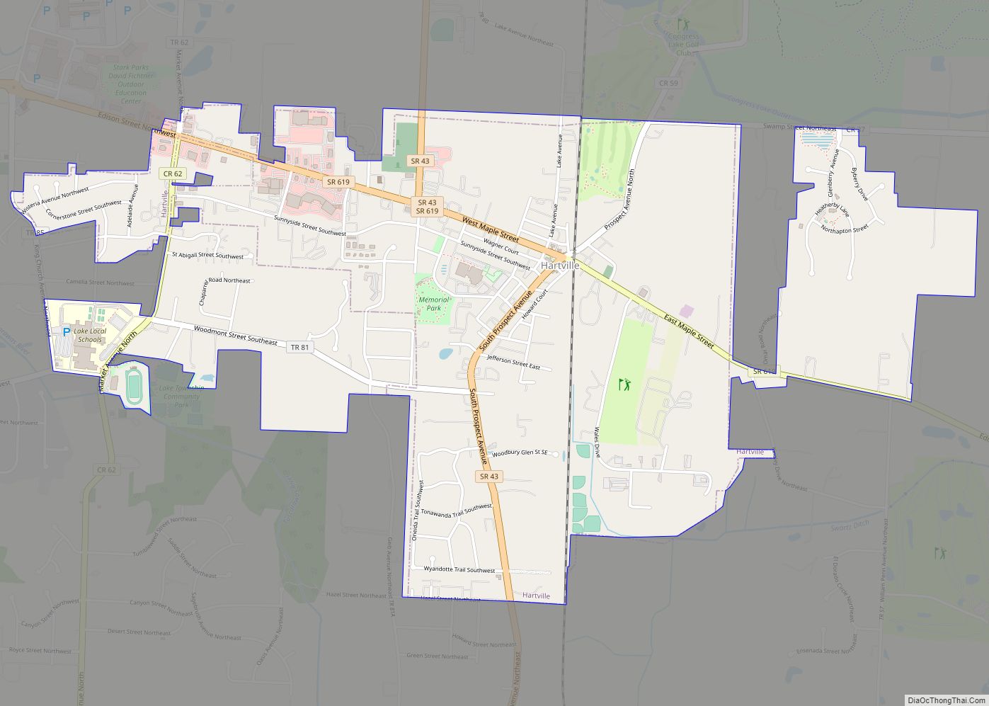
Hartville is a village in Stark County, Ohio, United States. The population was 3,329 at the 2020 census. It is part of the Canton–Massillon metropolitan area.
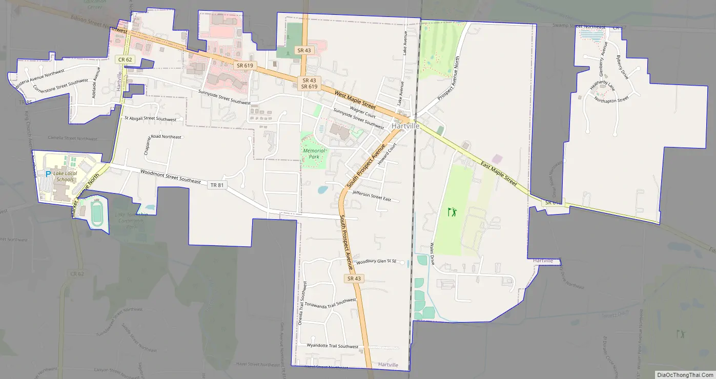
Hartville lies halfway between Akron and Canton, at the intersection of two main roads, State Routes 43 and 619.
| Name: | Hartville village |
|---|---|
| LSAD Code: | 47 |
| LSAD Description: | village (suffix) |
| State: | Ohio |
| County: | Stark County |
| Elevation: | 1,168 ft (356 m) |
| Total Area: | 2.70 sq mi (6.99 km²) |
| Land Area: | 2.70 sq mi (6.99 km²) |
| Water Area: | 0.00 sq mi (0.00 km²) |
| Total Population: | 3,329 |
| Population Density: | 1,233.88/sq mi (476.38/km²) |
| ZIP code: | 44632 |
| Area code: | 330 |
| FIPS code: | 3934328 |
| GNISfeature ID: | 1064808 |
| Website: | www.hartvilleoh.com |
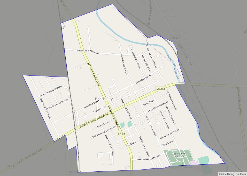
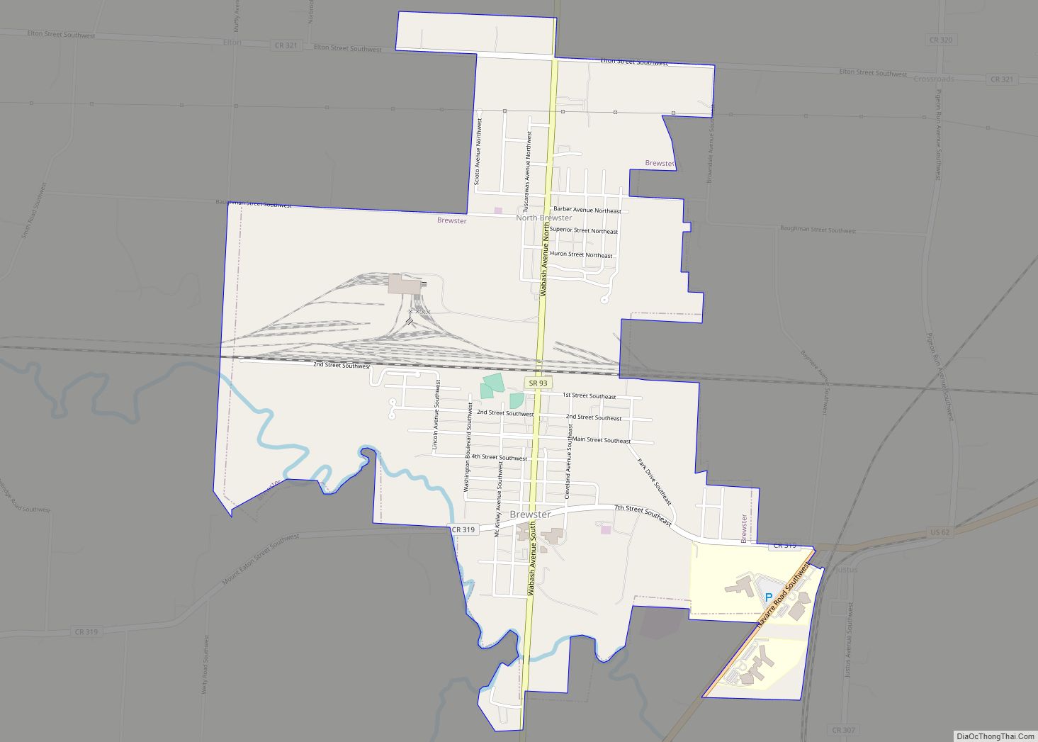
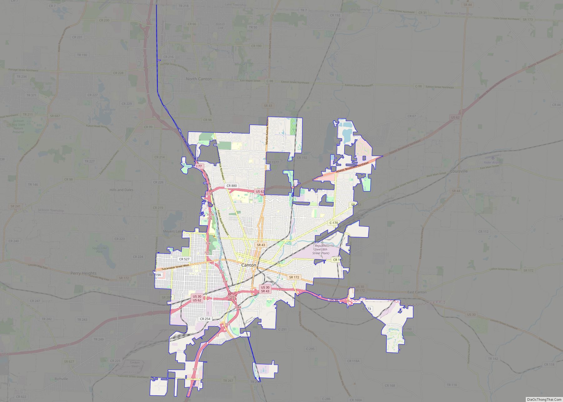
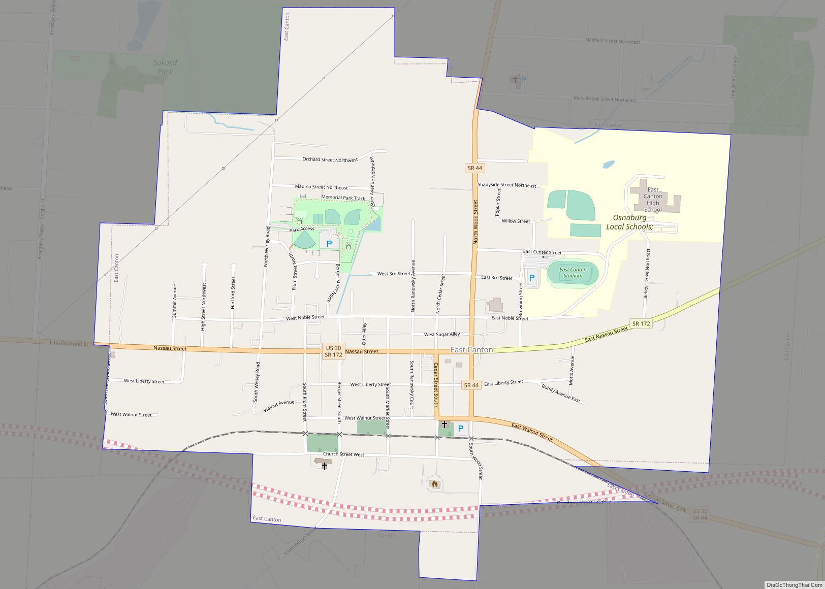
Online Interactive Map
Click on ![]() to view map in "full screen" mode.
to view map in "full screen" mode.
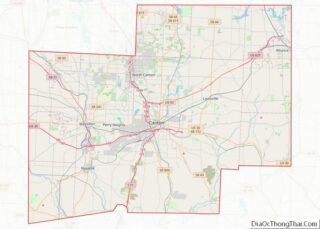
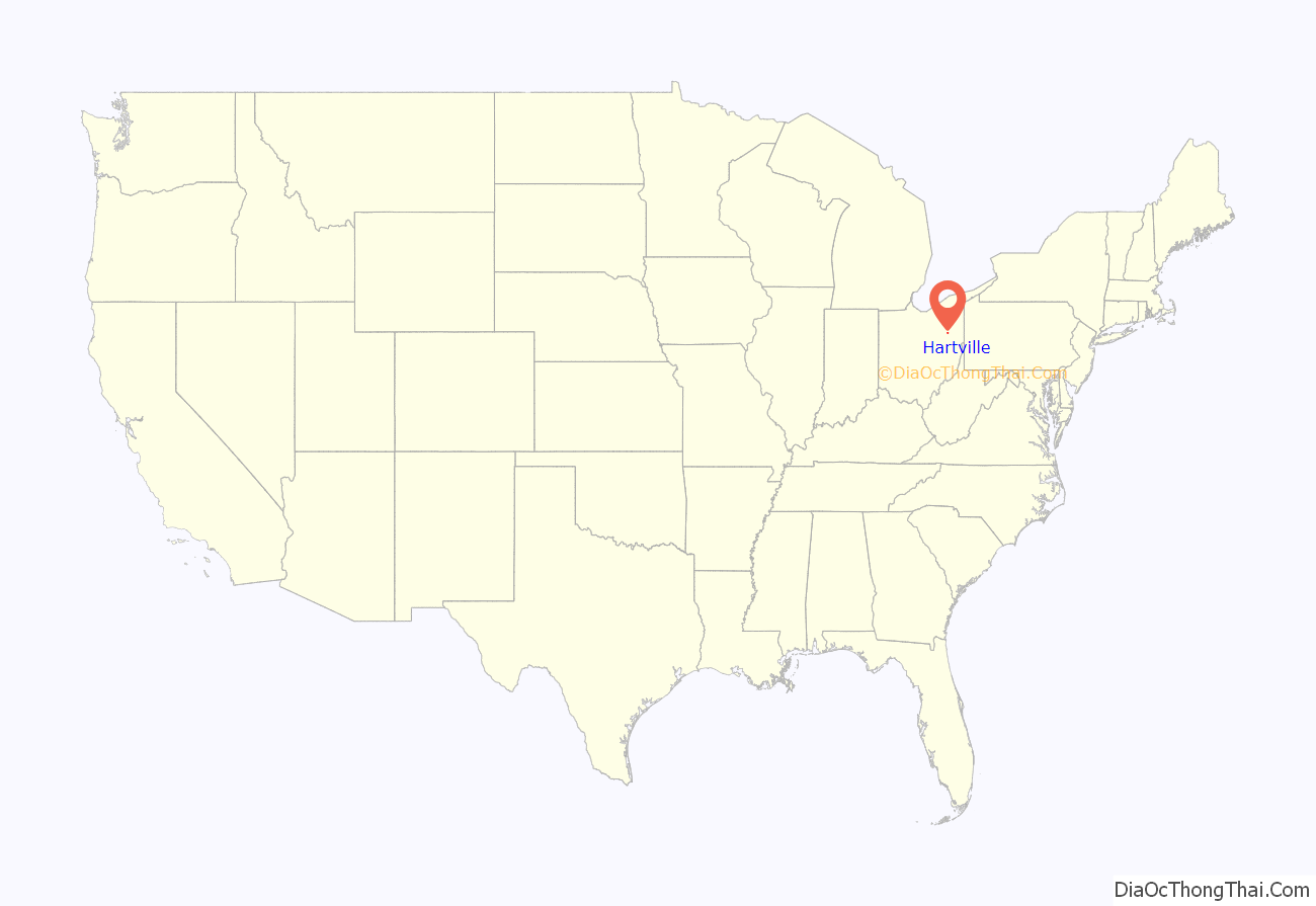
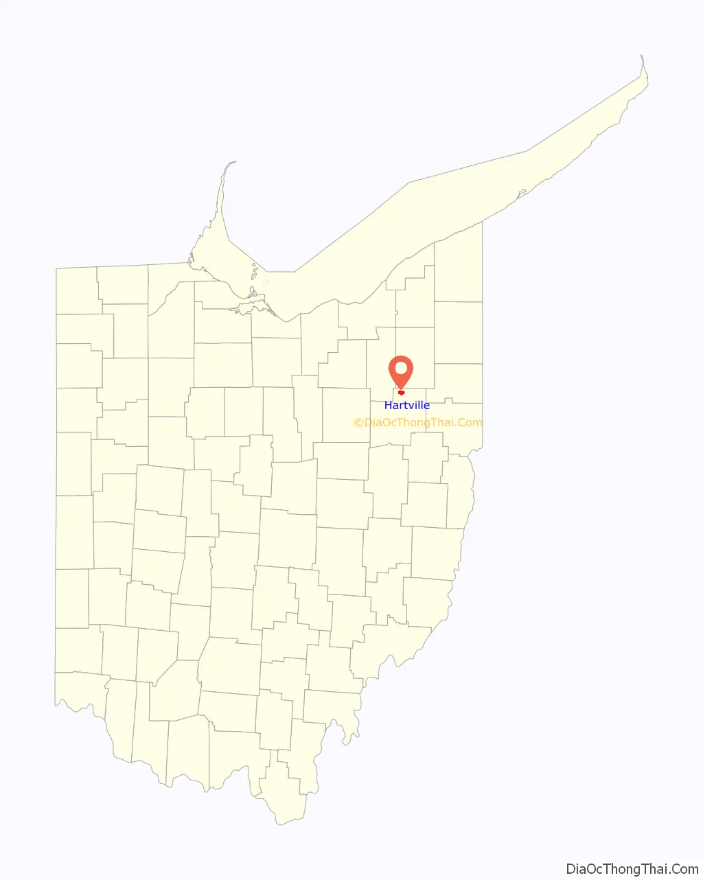
Hartville location map. Where is Hartville village?
History
Hartville was platted in 1851, most likely deriving its name from John Morehart, a first settler.
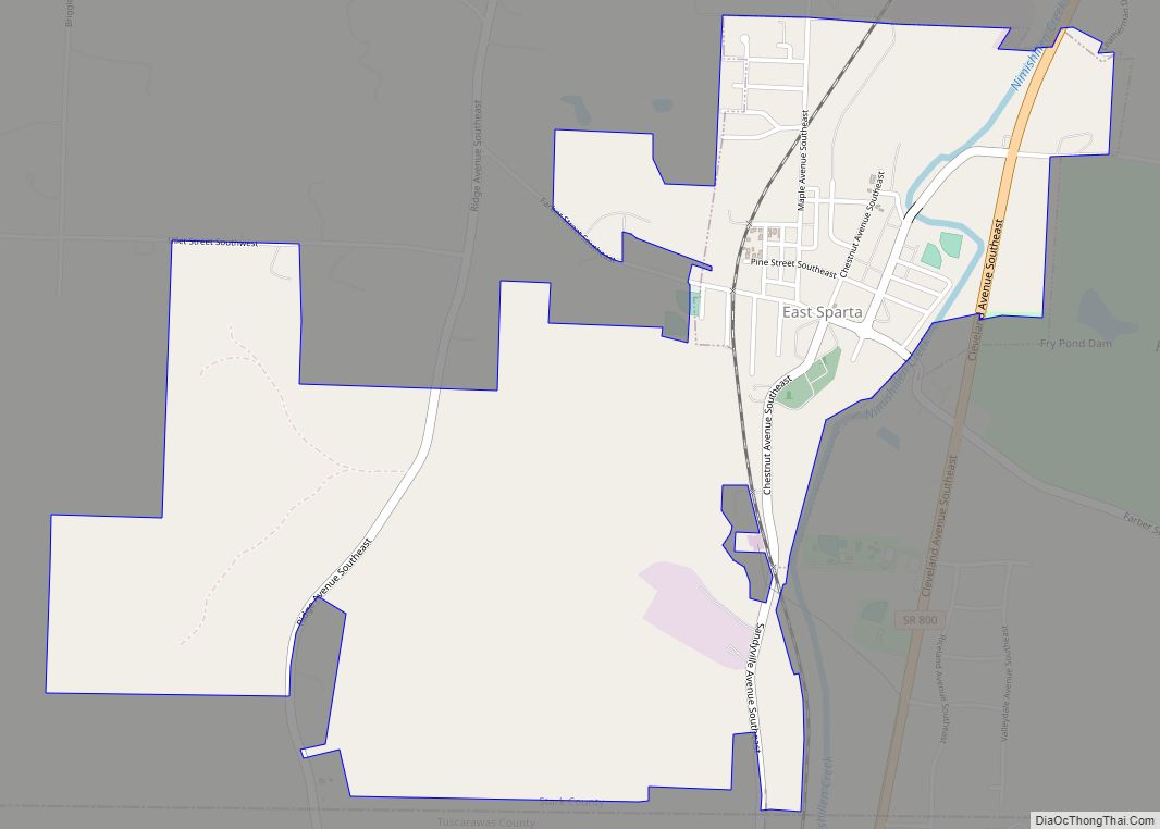
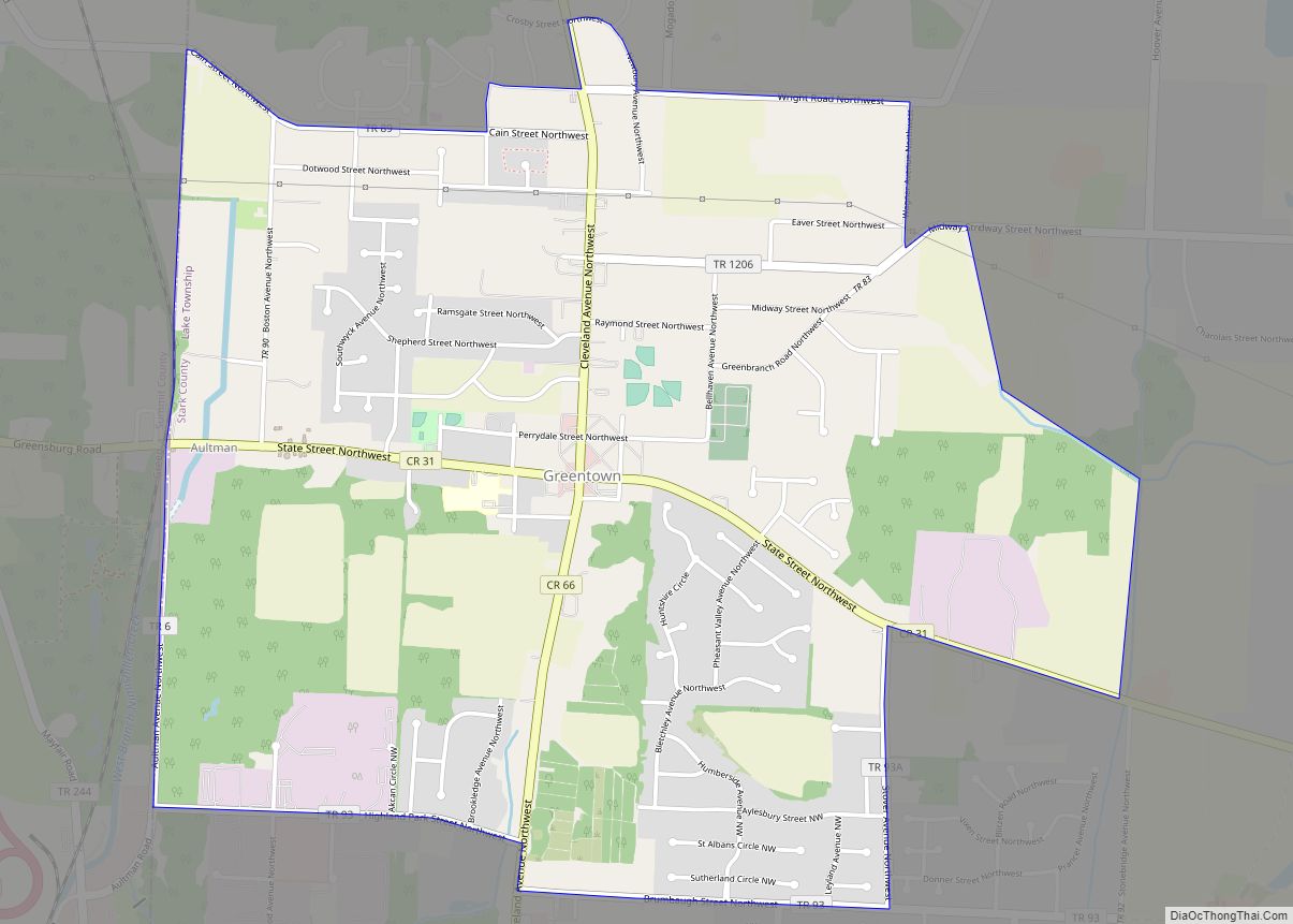
Hartville Road Map
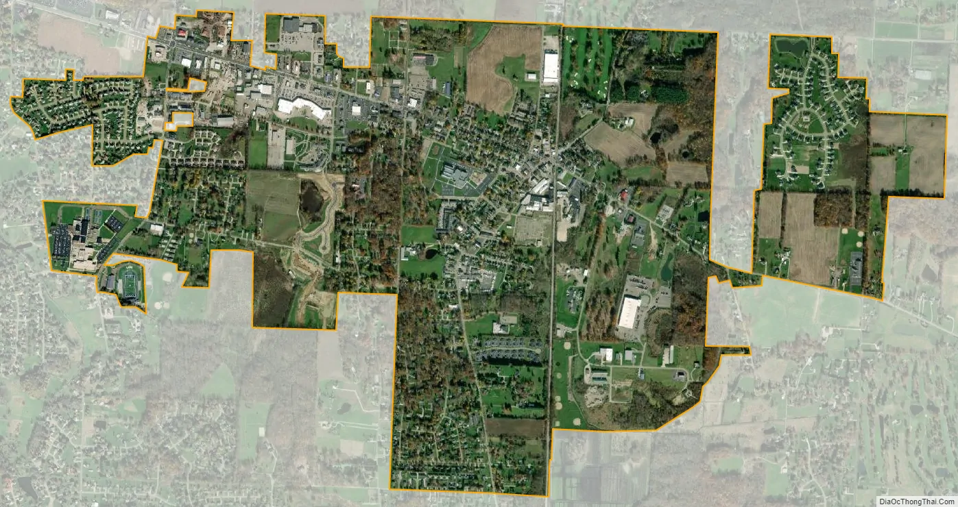
Hartville city Satellite Map
Geography
Hartville is located at 40°57′44″N 81°20′23″W / 40.96222°N 81.33972°W / 40.96222; -81.33972 (40.962207, -81.339822).
According to the United States Census Bureau, the village has a total area of 2.58 square miles (6.68 km), all land.
See also
Map of Ohio State and its subdivision:- Adams
- Allen
- Ashland
- Ashtabula
- Athens
- Auglaize
- Belmont
- Brown
- Butler
- Carroll
- Champaign
- Clark
- Clermont
- Clinton
- Columbiana
- Coshocton
- Crawford
- Cuyahoga
- Darke
- Defiance
- Delaware
- Erie
- Fairfield
- Fayette
- Franklin
- Fulton
- Gallia
- Geauga
- Greene
- Guernsey
- Hamilton
- Hancock
- Hardin
- Harrison
- Henry
- Highland
- Hocking
- Holmes
- Huron
- Jackson
- Jefferson
- Knox
- Lake
- Lake Erie
- Lawrence
- Licking
- Logan
- Lorain
- Lucas
- Madison
- Mahoning
- Marion
- Medina
- Meigs
- Mercer
- Miami
- Monroe
- Montgomery
- Morgan
- Morrow
- Muskingum
- Noble
- Ottawa
- Paulding
- Perry
- Pickaway
- Pike
- Portage
- Preble
- Putnam
- Richland
- Ross
- Sandusky
- Scioto
- Seneca
- Shelby
- Stark
- Summit
- Trumbull
- Tuscarawas
- Union
- Van Wert
- Vinton
- Warren
- Washington
- Wayne
- Williams
- Wood
- Wyandot
- Alabama
- Alaska
- Arizona
- Arkansas
- California
- Colorado
- Connecticut
- Delaware
- District of Columbia
- Florida
- Georgia
- Hawaii
- Idaho
- Illinois
- Indiana
- Iowa
- Kansas
- Kentucky
- Louisiana
- Maine
- Maryland
- Massachusetts
- Michigan
- Minnesota
- Mississippi
- Missouri
- Montana
- Nebraska
- Nevada
- New Hampshire
- New Jersey
- New Mexico
- New York
- North Carolina
- North Dakota
- Ohio
- Oklahoma
- Oregon
- Pennsylvania
- Rhode Island
- South Carolina
- South Dakota
- Tennessee
- Texas
- Utah
- Vermont
- Virginia
- Washington
- West Virginia
- Wisconsin
- Wyoming