Hubbard is a city in southeastern Trumbull County, Ohio, United States. It is formed from part of Hubbard Township, which was formed from the Connecticut Western Reserve. The population was 7,636 at the 2020 census. It is a suburb of the Youngstown–Warren metropolitan area.
| Name: | Hubbard city |
|---|---|
| LSAD Code: | 25 |
| LSAD Description: | city (suffix) |
| State: | Ohio |
| County: | Trumbull County |
| Incorporated: | 1868 |
| Elevation: | 981 ft (299 m) |
| Total Area: | 4.04 sq mi (10.45 km²) |
| Land Area: | 4.03 sq mi (10.43 km²) |
| Water Area: | 0.01 sq mi (0.02 km²) |
| Total Population: | 7,636 |
| Population Density: | 1,895.26/sq mi (731.85/km²) |
| ZIP code: | 44425 |
| Area code: | 330, 234 |
| FIPS code: | 3936582 |
| GNISfeature ID: | 1048855 |
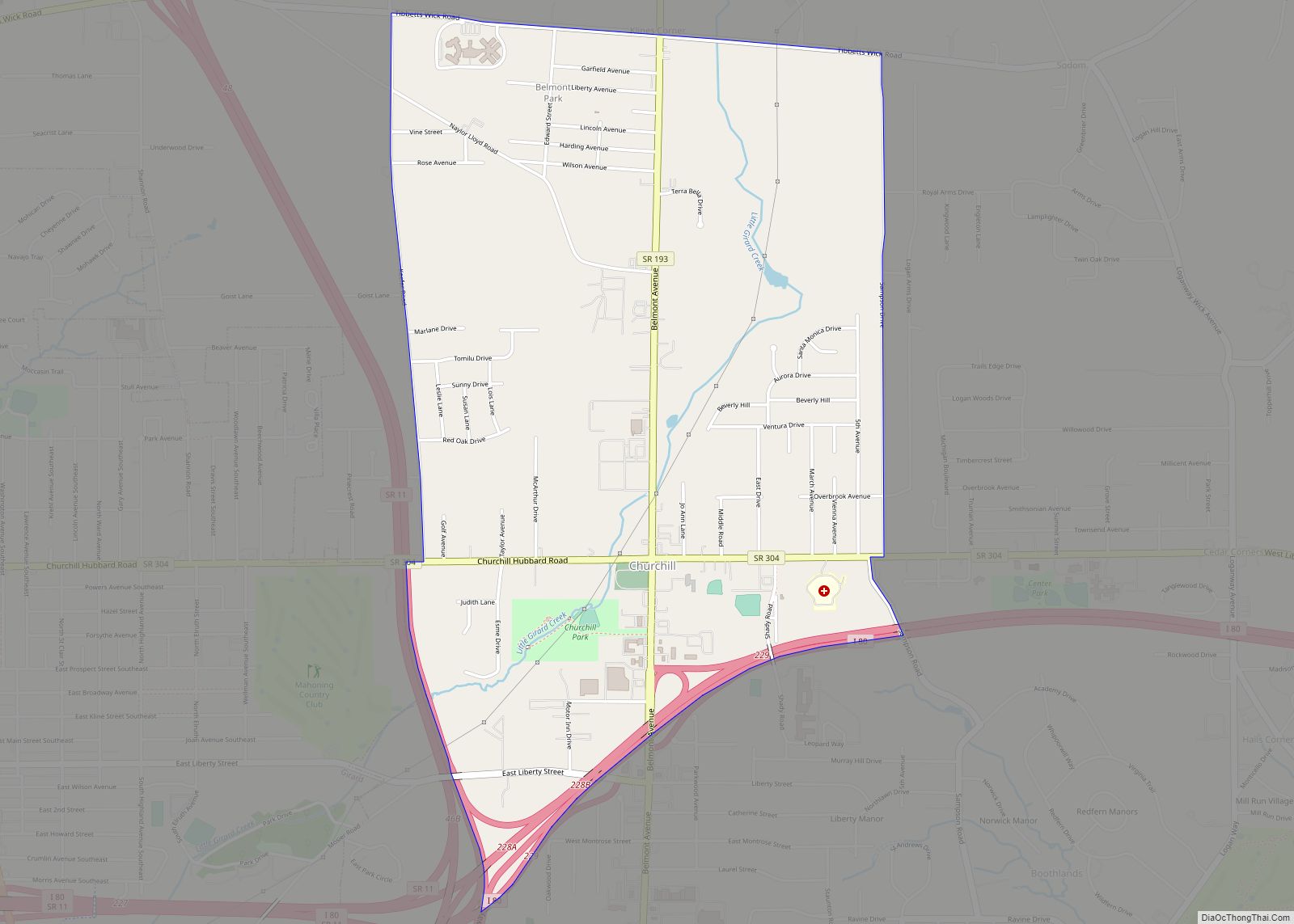
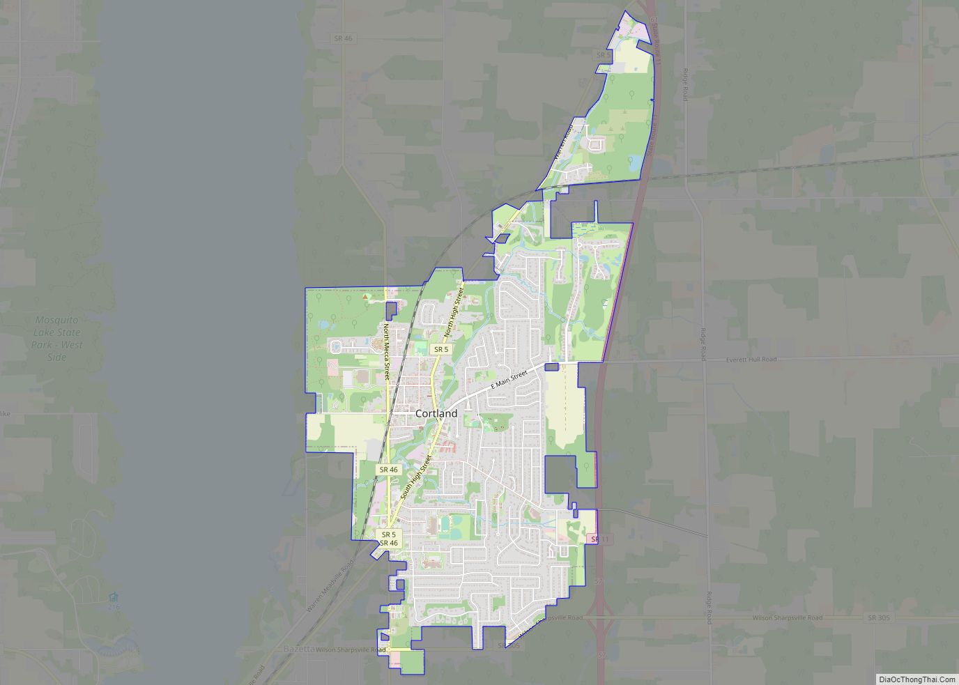
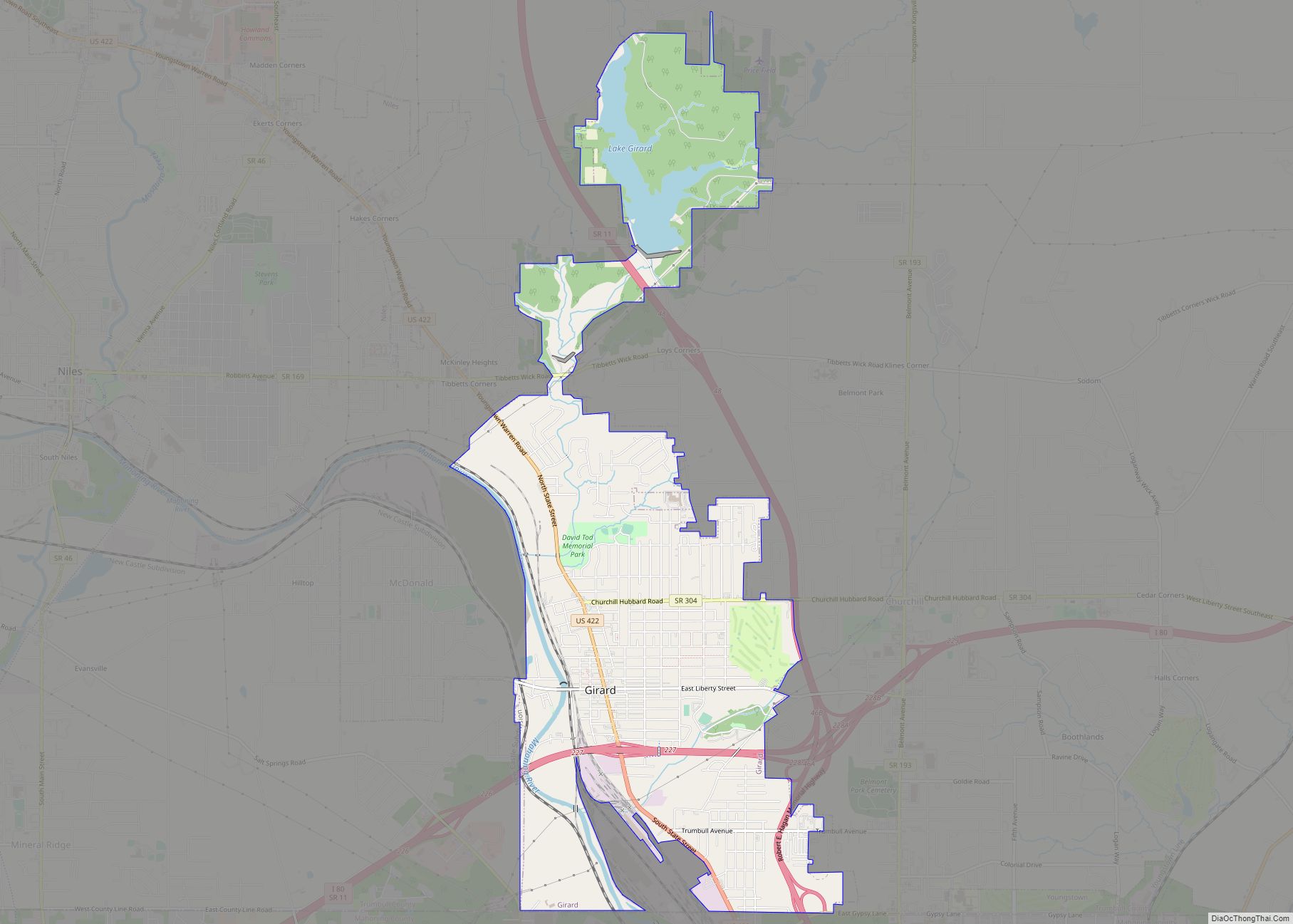
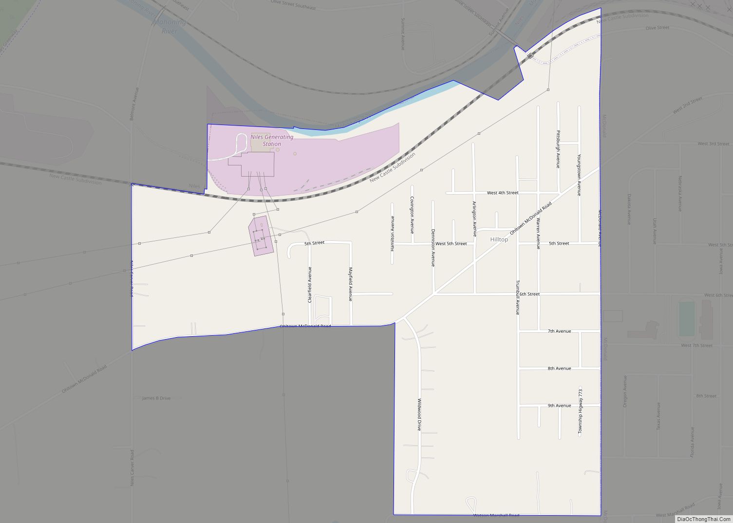
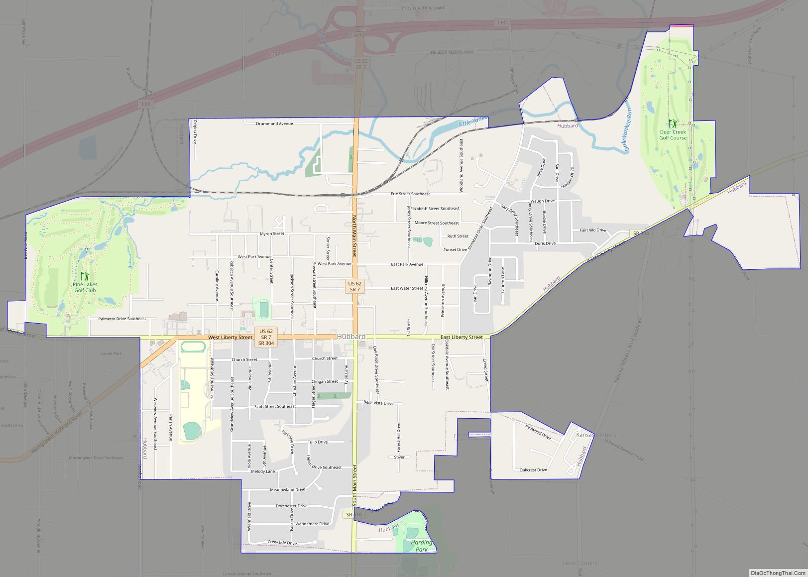
Online Interactive Map
Click on ![]() to view map in "full screen" mode.
to view map in "full screen" mode.
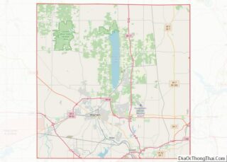
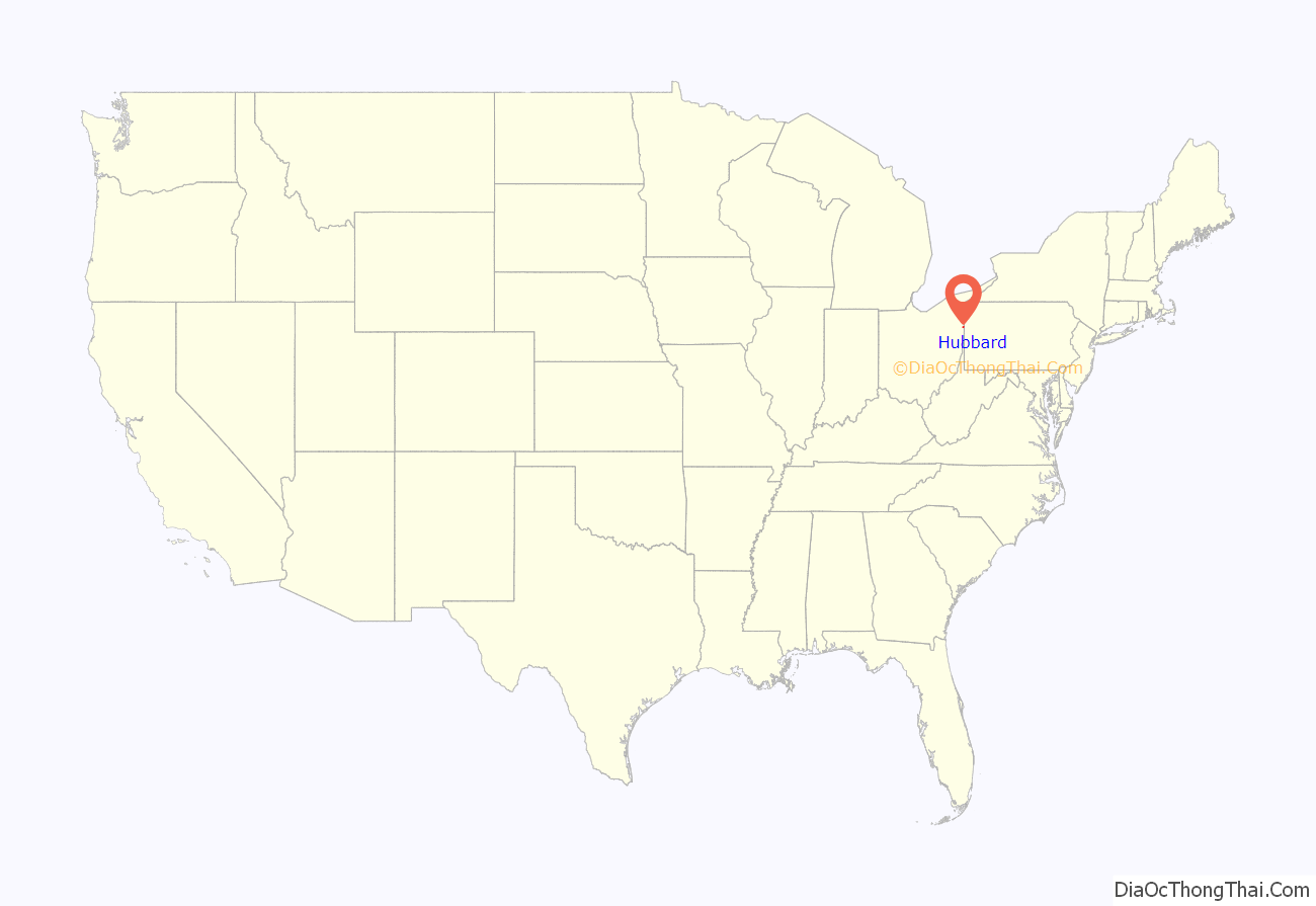
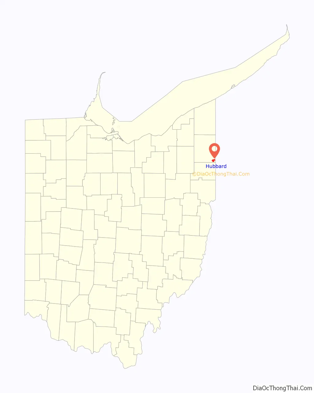
Hubbard location map. Where is Hubbard city?
History
The village takes its name from Nehemiah Hubbard, Jr., a Connecticut Land Company agent from Middletown, Connecticut. Hubbard led a surveying party of which Samuel Tylee, also from Middletown, was a member of. Tylee became the township’s first settler in 1801, with his family. Many of the early settlers were farmers from New Jersey who cleared the forested area for crop production. A post office called Hubbard was established in 1826. Until 1861, Hubbard was a relatively small town, but the development of the local coal and iron industries rapidly developed the town over the decade. Hubbard was incorporated a village in 1868, with Nathaniel Mitchell serving as the first mayor.
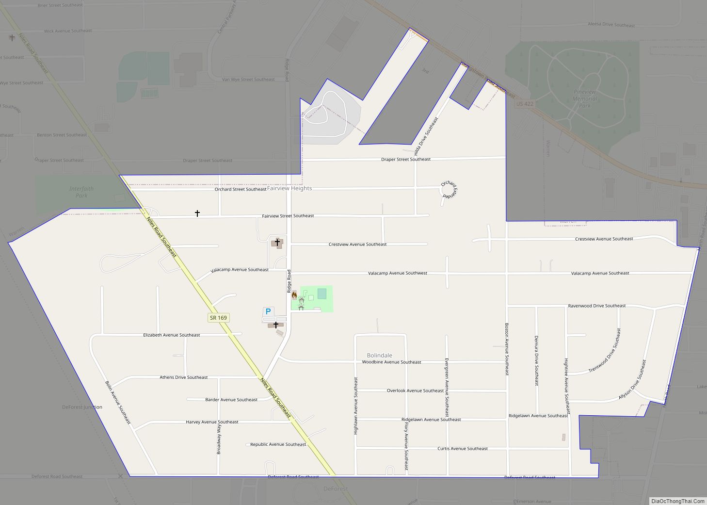
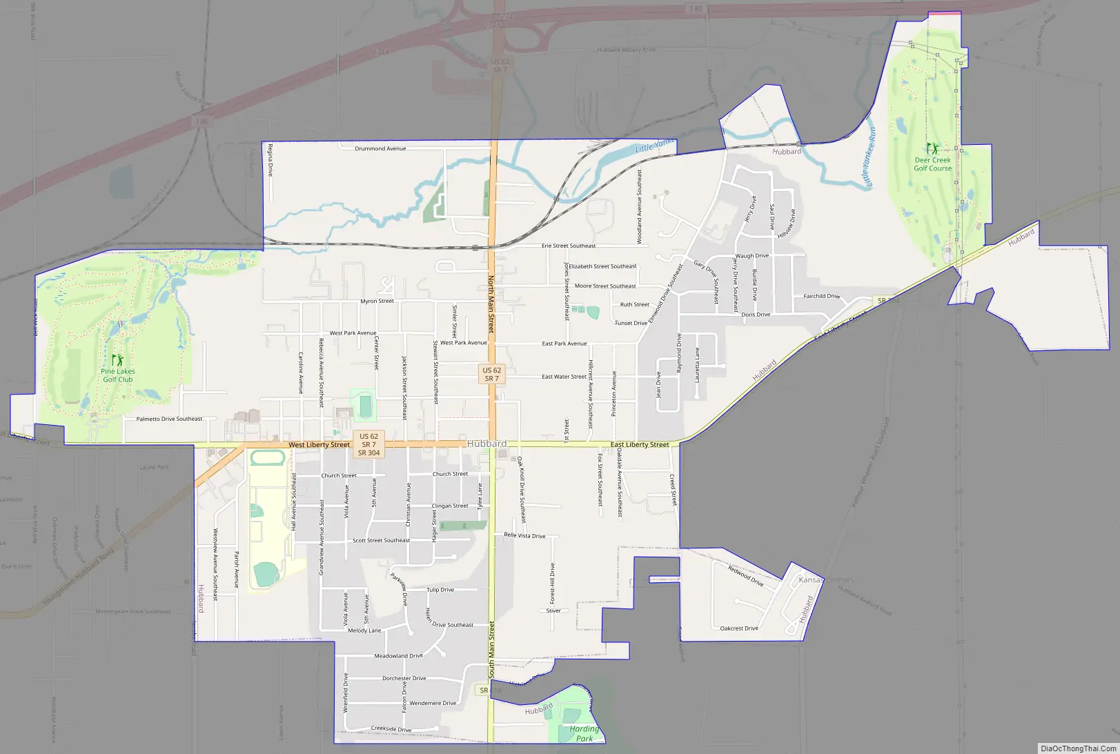
Hubbard Road Map
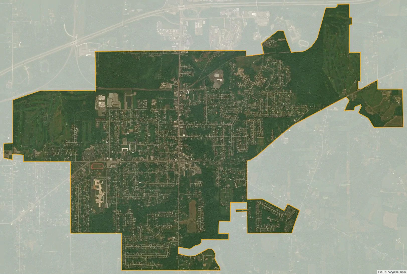
Hubbard city Satellite Map
Geography
According to the United States Census Bureau, the city has a total area of 3.91 square miles (10.13 km), of which 3.90 square miles (10.10 km) is land and 0.01 square miles (0.03 km) is water.
See also
Map of Ohio State and its subdivision:- Adams
- Allen
- Ashland
- Ashtabula
- Athens
- Auglaize
- Belmont
- Brown
- Butler
- Carroll
- Champaign
- Clark
- Clermont
- Clinton
- Columbiana
- Coshocton
- Crawford
- Cuyahoga
- Darke
- Defiance
- Delaware
- Erie
- Fairfield
- Fayette
- Franklin
- Fulton
- Gallia
- Geauga
- Greene
- Guernsey
- Hamilton
- Hancock
- Hardin
- Harrison
- Henry
- Highland
- Hocking
- Holmes
- Huron
- Jackson
- Jefferson
- Knox
- Lake
- Lake Erie
- Lawrence
- Licking
- Logan
- Lorain
- Lucas
- Madison
- Mahoning
- Marion
- Medina
- Meigs
- Mercer
- Miami
- Monroe
- Montgomery
- Morgan
- Morrow
- Muskingum
- Noble
- Ottawa
- Paulding
- Perry
- Pickaway
- Pike
- Portage
- Preble
- Putnam
- Richland
- Ross
- Sandusky
- Scioto
- Seneca
- Shelby
- Stark
- Summit
- Trumbull
- Tuscarawas
- Union
- Van Wert
- Vinton
- Warren
- Washington
- Wayne
- Williams
- Wood
- Wyandot
- Alabama
- Alaska
- Arizona
- Arkansas
- California
- Colorado
- Connecticut
- Delaware
- District of Columbia
- Florida
- Georgia
- Hawaii
- Idaho
- Illinois
- Indiana
- Iowa
- Kansas
- Kentucky
- Louisiana
- Maine
- Maryland
- Massachusetts
- Michigan
- Minnesota
- Mississippi
- Missouri
- Montana
- Nebraska
- Nevada
- New Hampshire
- New Jersey
- New Mexico
- New York
- North Carolina
- North Dakota
- Ohio
- Oklahoma
- Oregon
- Pennsylvania
- Rhode Island
- South Carolina
- South Dakota
- Tennessee
- Texas
- Utah
- Vermont
- Virginia
- Washington
- West Virginia
- Wisconsin
- Wyoming