Independence is a city in Cuyahoga County, Ohio. It is a suburb of Cleveland. As of the 2010 census, the city population was 7,133.
Independence was originally called Center and was renamed in 1830.
| Name: | Independence city |
|---|---|
| LSAD Code: | 25 |
| LSAD Description: | city (suffix) |
| State: | Ohio |
| County: | Cuyahoga County |
| Elevation: | 860 ft (260 m) |
| Total Area: | 9.63 sq mi (24.94 km²) |
| Land Area: | 9.53 sq mi (24.67 km²) |
| Water Area: | 0.10 sq mi (0.26 km²) |
| Total Population: | 7,584 |
| Population Density: | 796.14/sq mi (307.39/km²) |
| Area code: | 216 |
| FIPS code: | 3937240 |
| GNISfeature ID: | 1064885 |
| Website: | http://www.independenceohio.org |
Online Interactive Map
Click on ![]() to view map in "full screen" mode.
to view map in "full screen" mode.
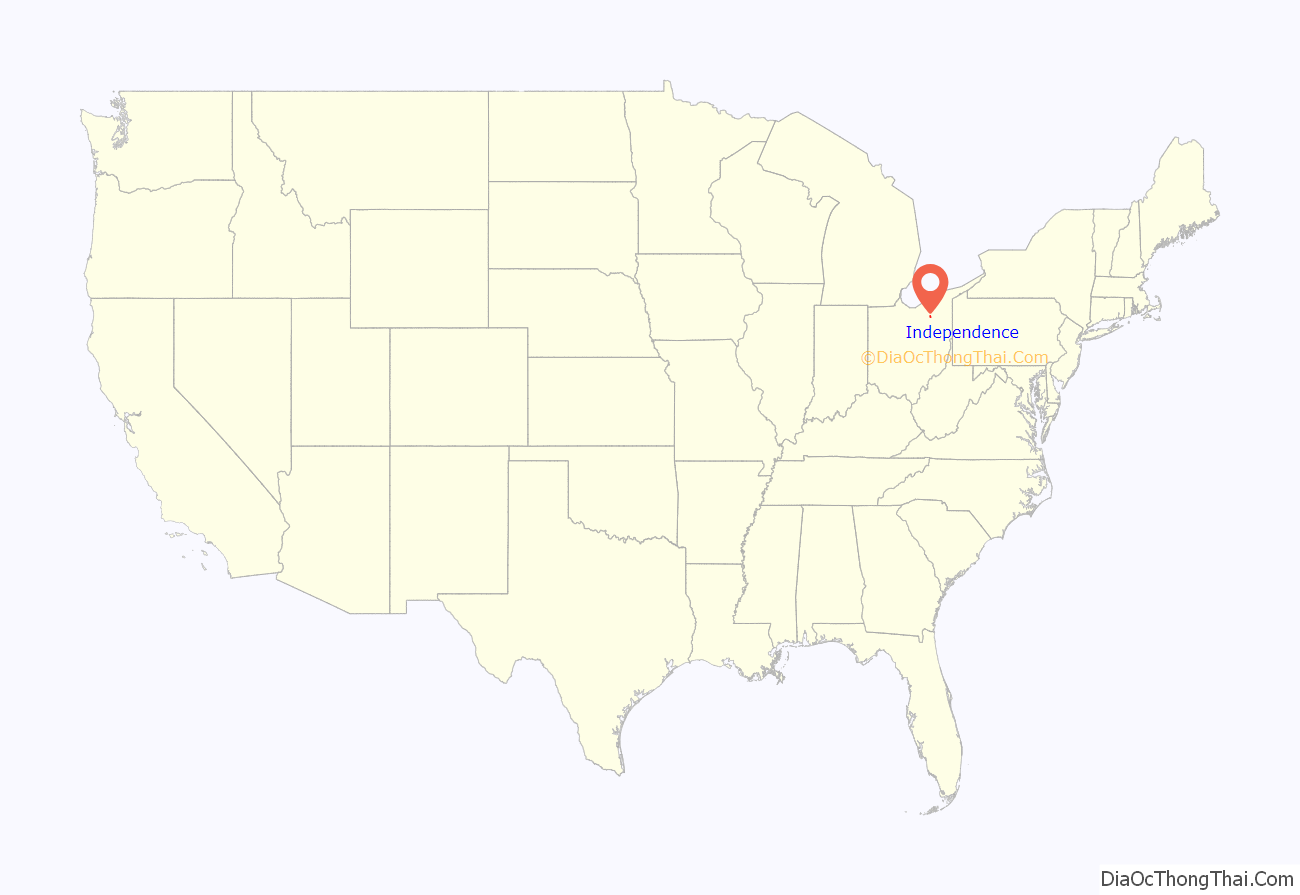
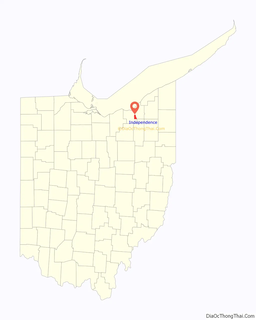
Independence location map. Where is Independence city?
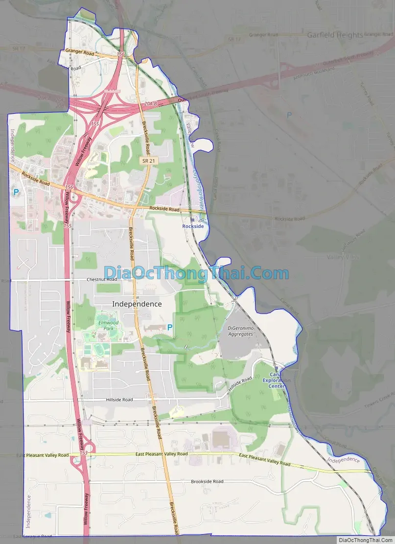
Independence Road Map
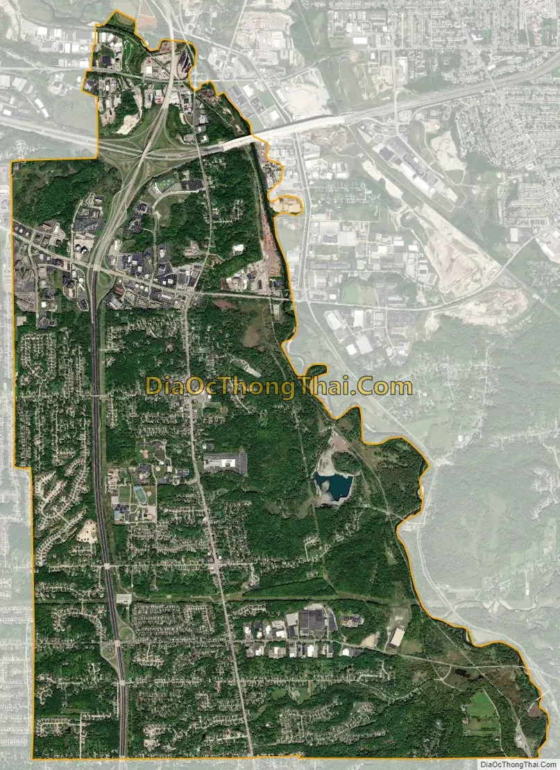
Independence city Satellite Map
Geography
Independence is located at 41°22′55″N 81°38′27″W / 41.38194°N 81.64083°W / 41.38194; -81.64083.
According to the United States Census Bureau, the city has a total area of 9.64 square miles (24.97 km), of which 9.54 square miles (24.71 km) is land and 0.10 square miles (0.26 km) is water.
Much of the land area in Independence is used by the intersection of I-480 and I-77. The I-77/I-480 interchange is a four-level stack interchange, but locals often refer to as the cloverleaf, as it largely replaced a nearby interchange of that type. The larger interchange opened in 1940, but construction of the Willow Freeway, which became I-77, was stalled by World War II and was not completed until the 1950s. In the late 1970s, I-480 connected into I-77. The original 1939 cloverleaf is still in existence on Granger and Brecksville Roads. It is still in use today, generally for local traffic.
In the 1970s, many Cleveland businesses needed backup and extra office space from their downtown Cleveland offices. In the 1970s, the Rockside corridor was developed into offices and numerous hotels to help downtown Cleveland. In 1991, the Crown Center on Rockside Road was built, making it the tallest building between Downtown Cleveland and Akron. This area is referred as Cleveland’s Silicon Valley.
See also
Map of Ohio State and its subdivision:- Adams
- Allen
- Ashland
- Ashtabula
- Athens
- Auglaize
- Belmont
- Brown
- Butler
- Carroll
- Champaign
- Clark
- Clermont
- Clinton
- Columbiana
- Coshocton
- Crawford
- Cuyahoga
- Darke
- Defiance
- Delaware
- Erie
- Fairfield
- Fayette
- Franklin
- Fulton
- Gallia
- Geauga
- Greene
- Guernsey
- Hamilton
- Hancock
- Hardin
- Harrison
- Henry
- Highland
- Hocking
- Holmes
- Huron
- Jackson
- Jefferson
- Knox
- Lake
- Lake Erie
- Lawrence
- Licking
- Logan
- Lorain
- Lucas
- Madison
- Mahoning
- Marion
- Medina
- Meigs
- Mercer
- Miami
- Monroe
- Montgomery
- Morgan
- Morrow
- Muskingum
- Noble
- Ottawa
- Paulding
- Perry
- Pickaway
- Pike
- Portage
- Preble
- Putnam
- Richland
- Ross
- Sandusky
- Scioto
- Seneca
- Shelby
- Stark
- Summit
- Trumbull
- Tuscarawas
- Union
- Van Wert
- Vinton
- Warren
- Washington
- Wayne
- Williams
- Wood
- Wyandot
- Alabama
- Alaska
- Arizona
- Arkansas
- California
- Colorado
- Connecticut
- Delaware
- District of Columbia
- Florida
- Georgia
- Hawaii
- Idaho
- Illinois
- Indiana
- Iowa
- Kansas
- Kentucky
- Louisiana
- Maine
- Maryland
- Massachusetts
- Michigan
- Minnesota
- Mississippi
- Missouri
- Montana
- Nebraska
- Nevada
- New Hampshire
- New Jersey
- New Mexico
- New York
- North Carolina
- North Dakota
- Ohio
- Oklahoma
- Oregon
- Pennsylvania
- Rhode Island
- South Carolina
- South Dakota
- Tennessee
- Texas
- Utah
- Vermont
- Virginia
- Washington
- West Virginia
- Wisconsin
- Wyoming


