Irondale is a village in northern Jefferson County, Ohio, United States. The population was 326 at the 2020 census. It is part of the Weirton–Steubenville metropolitan area.
| Name: | Irondale village |
|---|---|
| LSAD Code: | 47 |
| LSAD Description: | village (suffix) |
| State: | Ohio |
| County: | Jefferson County |
| Elevation: | 709 ft (216 m) |
| Total Area: | 1.48 sq mi (3.82 km²) |
| Land Area: | 1.45 sq mi (3.75 km²) |
| Water Area: | 0.03 sq mi (0.07 km²) |
| Total Population: | 326 |
| Population Density: | 224.98/sq mi (86.85/km²) |
| ZIP code: | 43932 |
| Area code: | 330 |
| FIPS code: | 3937422 |
| GNISfeature ID: | 1064888 |
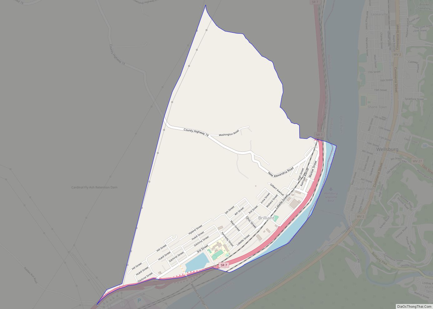
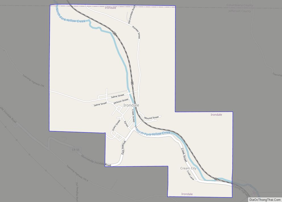
Online Interactive Map
Click on ![]() to view map in "full screen" mode.
to view map in "full screen" mode.
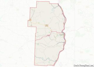
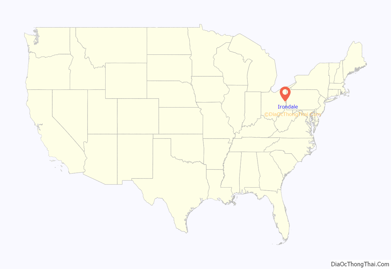
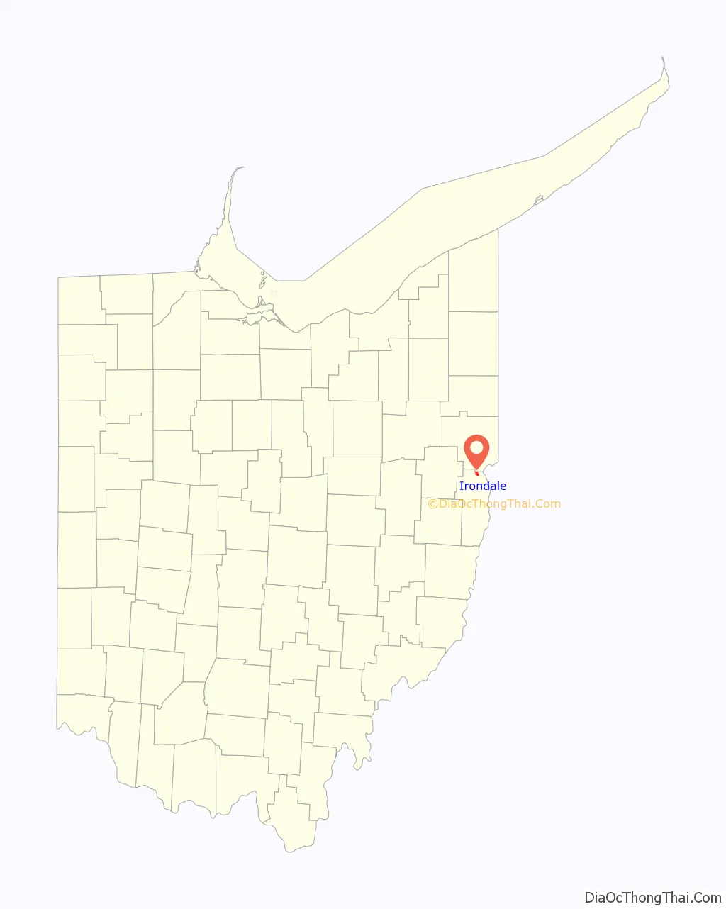
Irondale location map. Where is Irondale village?
History
Irondale was originally known as Pottsdale, for Samuel Potts, who started a salt operation at Yellow Creek circa 1806. In 1869 Morgan & Hunter laid out the original plat of what was then called Hunterville which later was changed to Irondale after the discovery of iron ore and other minerals used in the manufacture of tin. Coal mining began at the settlement in 1861. A blast furnace was built later to supply iron to the tin mill which gave the town its new name, Irondale. The first commercially successful tin mill in the United States operated in Irondale in the 1880s.
Former Irondale Mayor Bill “Red” Allen recently made history by losing two separate elections in less than 365 days to two separate people, confirming the end of the Allen family political dynasty in the town which lasted over 30 years.
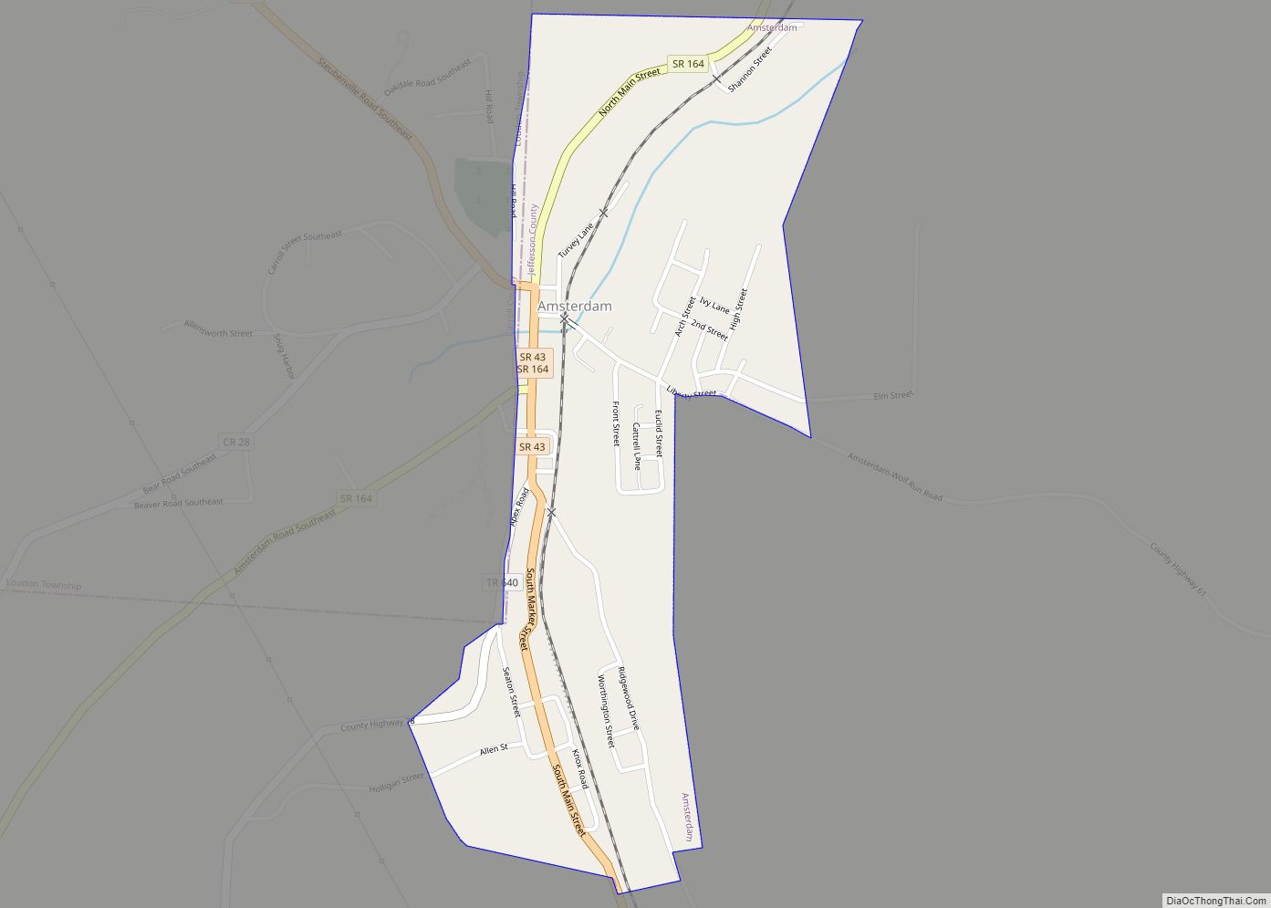
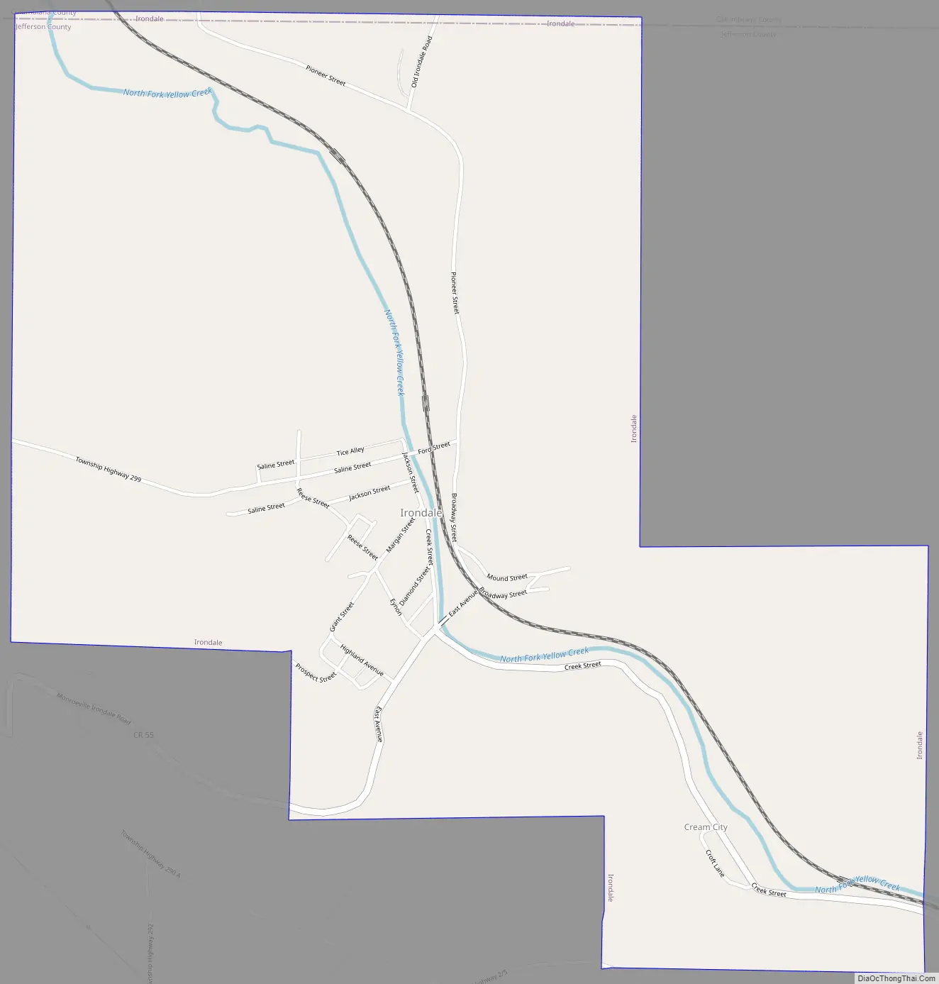
Irondale Road Map
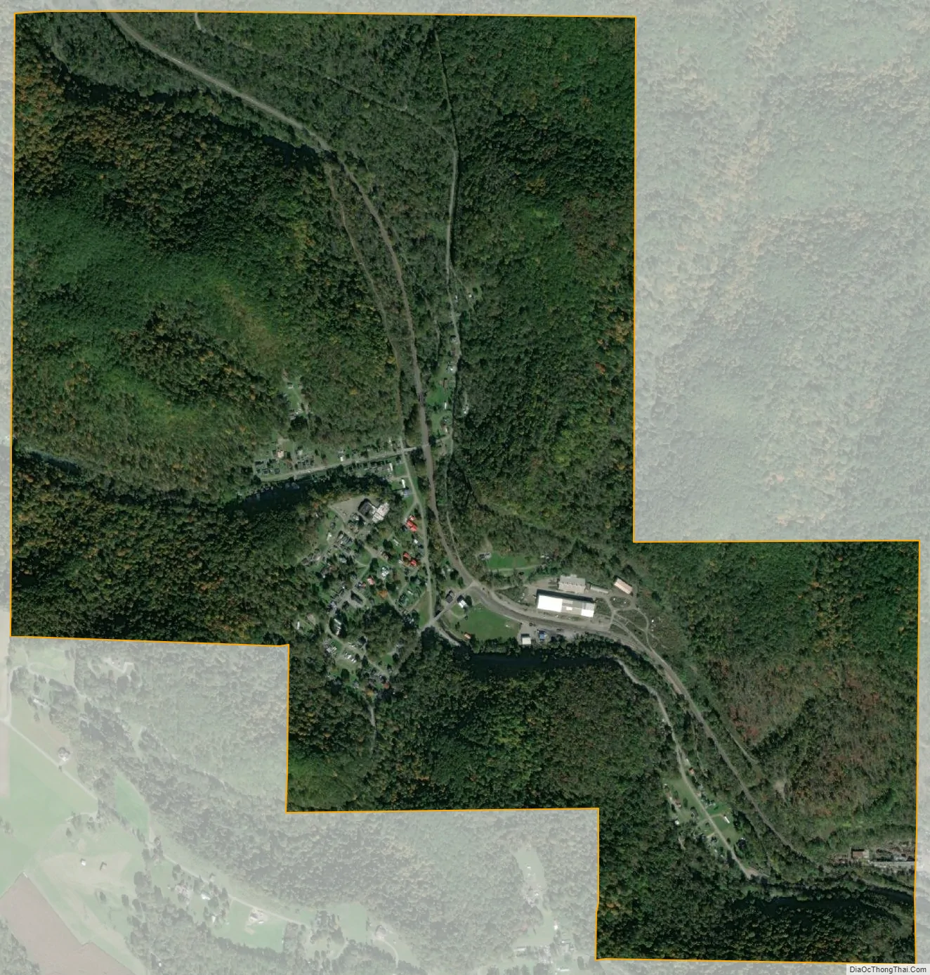
Irondale city Satellite Map
Geography
Irondale is located at 40°34′14″N 80°43′37″W / 40.57056°N 80.72694°W / 40.57056; -80.72694 (40.570621, -80.726993).
According to the United States Census Bureau, the village has a total area of 1.48 square miles (3.83 km), of which 1.45 square miles (3.76 km) is land and 0.03 square miles (0.08 km) is water.
See also
Map of Ohio State and its subdivision:- Adams
- Allen
- Ashland
- Ashtabula
- Athens
- Auglaize
- Belmont
- Brown
- Butler
- Carroll
- Champaign
- Clark
- Clermont
- Clinton
- Columbiana
- Coshocton
- Crawford
- Cuyahoga
- Darke
- Defiance
- Delaware
- Erie
- Fairfield
- Fayette
- Franklin
- Fulton
- Gallia
- Geauga
- Greene
- Guernsey
- Hamilton
- Hancock
- Hardin
- Harrison
- Henry
- Highland
- Hocking
- Holmes
- Huron
- Jackson
- Jefferson
- Knox
- Lake
- Lake Erie
- Lawrence
- Licking
- Logan
- Lorain
- Lucas
- Madison
- Mahoning
- Marion
- Medina
- Meigs
- Mercer
- Miami
- Monroe
- Montgomery
- Morgan
- Morrow
- Muskingum
- Noble
- Ottawa
- Paulding
- Perry
- Pickaway
- Pike
- Portage
- Preble
- Putnam
- Richland
- Ross
- Sandusky
- Scioto
- Seneca
- Shelby
- Stark
- Summit
- Trumbull
- Tuscarawas
- Union
- Van Wert
- Vinton
- Warren
- Washington
- Wayne
- Williams
- Wood
- Wyandot
- Alabama
- Alaska
- Arizona
- Arkansas
- California
- Colorado
- Connecticut
- Delaware
- District of Columbia
- Florida
- Georgia
- Hawaii
- Idaho
- Illinois
- Indiana
- Iowa
- Kansas
- Kentucky
- Louisiana
- Maine
- Maryland
- Massachusetts
- Michigan
- Minnesota
- Mississippi
- Missouri
- Montana
- Nebraska
- Nevada
- New Hampshire
- New Jersey
- New Mexico
- New York
- North Carolina
- North Dakota
- Ohio
- Oklahoma
- Oregon
- Pennsylvania
- Rhode Island
- South Carolina
- South Dakota
- Tennessee
- Texas
- Utah
- Vermont
- Virginia
- Washington
- West Virginia
- Wisconsin
- Wyoming