Lincoln Heights is a village in Hamilton County, Ohio, United States. The population was 3,144 at the 2020 census. It is a suburb of Cincinnati.
| Name: | Lincoln Heights village |
|---|---|
| LSAD Code: | 47 |
| LSAD Description: | village (suffix) |
| State: | Ohio |
| County: | Hamilton County |
| Elevation: | 594 ft (181 m) |
| Total Area: | 0.74 sq mi (1.92 km²) |
| Land Area: | 0.74 sq mi (1.92 km²) |
| Water Area: | 0.00 sq mi (0.00 km²) |
| Total Population: | 3,144 |
| Population Density: | 4,231.49/sq mi (1,633.46/km²) |
| ZIP code: | 45215 |
| Area code: | 513 |
| FIPS code: | 3943722 |
| GNISfeature ID: | 1048919 |
| Website: | www.vlho.org |
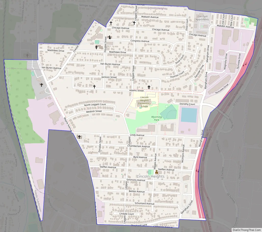
Online Interactive Map
Click on ![]() to view map in "full screen" mode.
to view map in "full screen" mode.
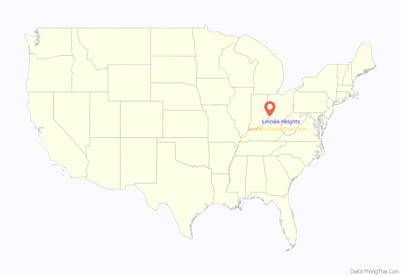
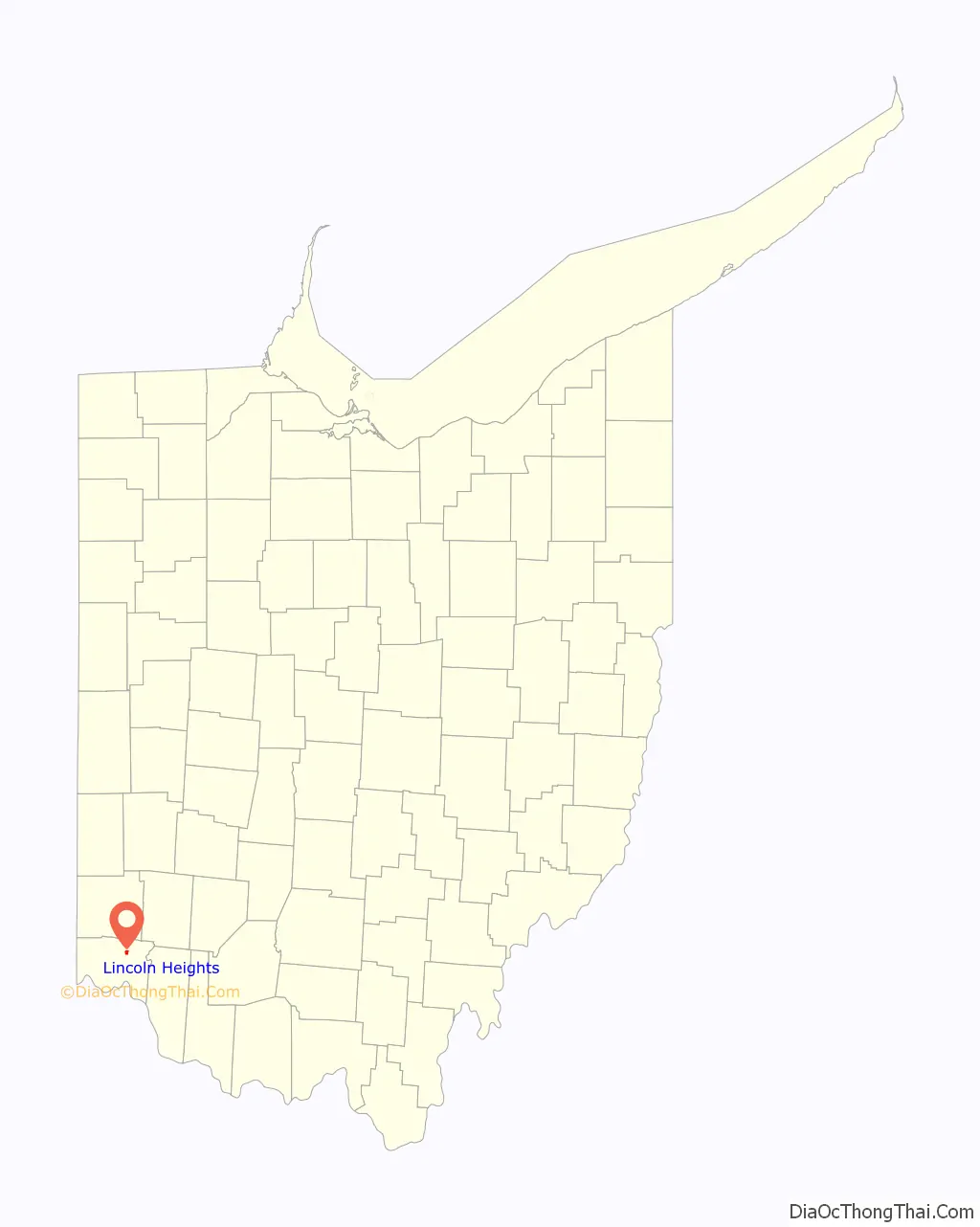
Lincoln Heights location map. Where is Lincoln Heights village?
History
Lincoln Heights was founded in the 1920s by property developers as a suburban enclave for black homeowners working in nearby industries. It was originally an unincorporated area which had no fire, police, streetlights, nor any paved roads. At the time only some houses had electricity. Many black families bought houses in the community because zoning laws and redlining prevented them from purchasing property in other communities.
Incorporation attempts
The first attempt at incorporation came in 1939; the motive was so residents could establish their own municipal services. Lockland residents objected to the Lincoln Heights incorporation proposal because they feared Lincoln Heights’ business district may compete with its own, so they filed an objection several minutes before the filing deadline occurred. This was the start of a series of delays.
Kitty Morgan of Cincinnati Magazine wrote that the Hamilton County and state governments were “unsympathetic” to the attempted incorporation. The manager of the [Wright Aeronautical Plant, located on land that Lincoln Heights residents wished to incorporate, also filed an objection because he did not want the factory to be in a majority black municipality. The communities of Woodlawn, and then Evendale incorporated even though Lincoln Heights’ application kept being delayed. They respectively took the western and eastern portions of territory that was supposed to be in Lincoln Heights, the latter of which contained the aeronautical plant (now the GE Aviation Evendale plant). The persons trying to establish Lincoln Heights failed to successfully challenge the Evendale incorporation in court.
Voters narrowly approved the incorporation of Lincoln Heights in a special election on June 18, 1941. At the time, African Americans made up 98% of the community’s residents. In 1946, Hamilton County allowed Lincoln Heights to incorporate with 10% of the original proposal’s area. It had no industrial tax base since there were no major factories or plants within the city limits. A University of Buffalo professor of urban and regional planning who wrote a dissertation on Lincoln Heights, Henry Louis Taylor, stated that this made Lincoln Heights vulnerable to future economic problems.
Subsequent history
Morgan wrote that the “halcyon days” of Lincoln Heights were the post-World War II period through the 1960s. At that time of incorporation it was the only black municipality north of the Mason-Dixon line, prompting Governor of New York Thomas E. Dewey to establish a tour of Lincoln Heights, inviting New York City residents to participate. In the mid-20th century many Lincoln Heights residents worked at the Wright Aeronautical Plant and a nearby chemical plant.
In the 1970s Lincoln Heights had 6,099 residents. In the 1970s and 1980s many factories began to close, and the tax base of the city decreased, making it difficult to establish community programs. It became difficult for residents find employment, and many residents who attended universities never returned to the city. By 1990 the number of residents in Lincoln Heights had decreased to 4,805. This further declined to 4,113 persons in 2000. In 2000 Cincinnati Magazine ranked Lincoln Heights in last place, #84, in its “The Best Places to Live,” a ranking of communities in the Cincinnati area.
As of 2001 the community still included many longtime residents; many persons who stayed in the city had been unable to leave Lincoln Heights. That year the Lincoln Heights economic development director, Claude Audley, stated that he received telephone calls from people expressing a wish to move back to Lincoln Heights.
From 2007 to 2013 the values of houses in Lincoln Heights declined by 76.4%. During the same period the housing values in nearby Indian Hill increased by 27.7%.
In 2013 the population was down to 3,367. From 1970 to 2013, therefore, the population had declined by 45%. The population in nearby Blue Ash had increased by 46% during that time frame.
Lincoln Heights Road Map
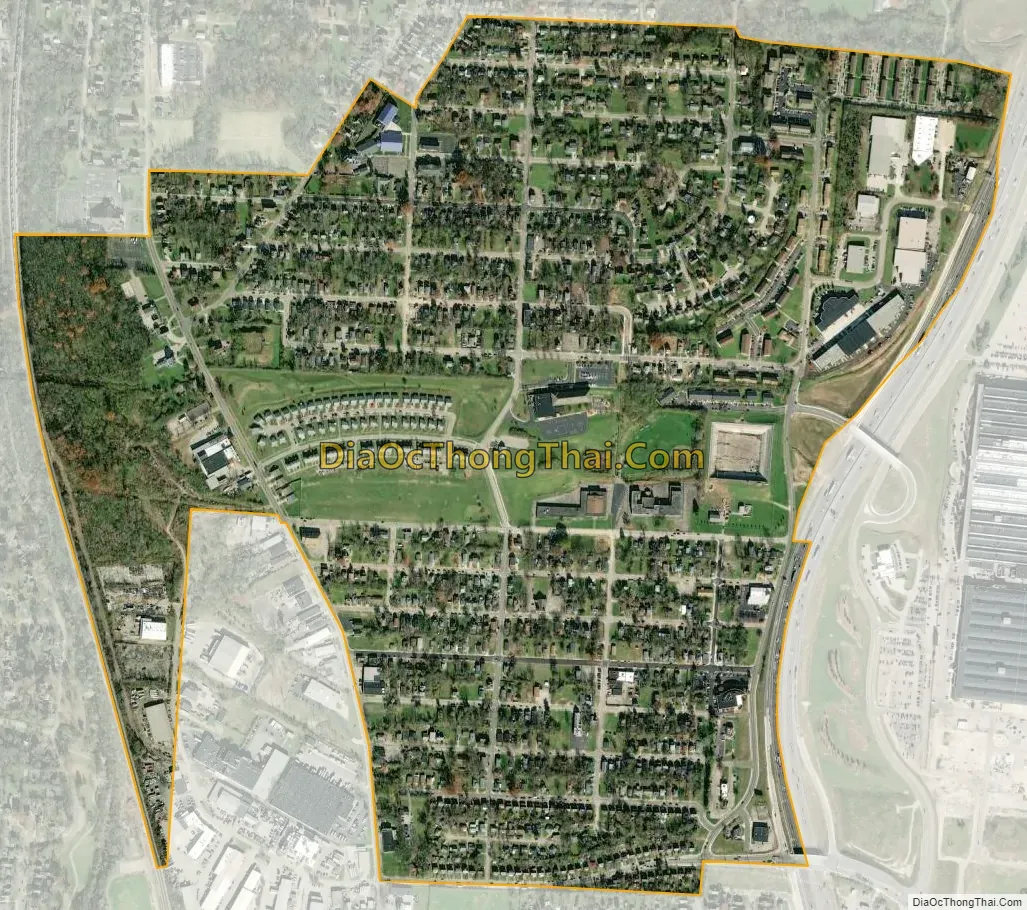
Lincoln Heights city Satellite Map
Geography
Lincoln Heights is located at 39°14′41″N 84°27′20″W / 39.24472°N 84.45556°W / 39.24472; -84.45556 (39.244608, -84.455570).
According to the United States Census Bureau, the village has a total area of 0.76 square miles (1.97 km), all land.
As of 2002 there were 19 churches within Lincoln Heights.
See also
Map of Ohio State and its subdivision:- Adams
- Allen
- Ashland
- Ashtabula
- Athens
- Auglaize
- Belmont
- Brown
- Butler
- Carroll
- Champaign
- Clark
- Clermont
- Clinton
- Columbiana
- Coshocton
- Crawford
- Cuyahoga
- Darke
- Defiance
- Delaware
- Erie
- Fairfield
- Fayette
- Franklin
- Fulton
- Gallia
- Geauga
- Greene
- Guernsey
- Hamilton
- Hancock
- Hardin
- Harrison
- Henry
- Highland
- Hocking
- Holmes
- Huron
- Jackson
- Jefferson
- Knox
- Lake
- Lake Erie
- Lawrence
- Licking
- Logan
- Lorain
- Lucas
- Madison
- Mahoning
- Marion
- Medina
- Meigs
- Mercer
- Miami
- Monroe
- Montgomery
- Morgan
- Morrow
- Muskingum
- Noble
- Ottawa
- Paulding
- Perry
- Pickaway
- Pike
- Portage
- Preble
- Putnam
- Richland
- Ross
- Sandusky
- Scioto
- Seneca
- Shelby
- Stark
- Summit
- Trumbull
- Tuscarawas
- Union
- Van Wert
- Vinton
- Warren
- Washington
- Wayne
- Williams
- Wood
- Wyandot
- Alabama
- Alaska
- Arizona
- Arkansas
- California
- Colorado
- Connecticut
- Delaware
- District of Columbia
- Florida
- Georgia
- Hawaii
- Idaho
- Illinois
- Indiana
- Iowa
- Kansas
- Kentucky
- Louisiana
- Maine
- Maryland
- Massachusetts
- Michigan
- Minnesota
- Mississippi
- Missouri
- Montana
- Nebraska
- Nevada
- New Hampshire
- New Jersey
- New Mexico
- New York
- North Carolina
- North Dakota
- Ohio
- Oklahoma
- Oregon
- Pennsylvania
- Rhode Island
- South Carolina
- South Dakota
- Tennessee
- Texas
- Utah
- Vermont
- Virginia
- Washington
- West Virginia
- Wisconsin
- Wyoming


