Lithopolis is a village in Fairfield and Franklin counties in the U.S. state of Ohio. The population was 2,134 at the 2020 census.
| Name: | Lithopolis village |
|---|---|
| LSAD Code: | 47 |
| LSAD Description: | village (suffix) |
| State: | Ohio |
| County: | Fairfield County, Franklin County |
| Elevation: | 945 ft (288 m) |
| Total Area: | 2.27 sq mi (5.88 km²) |
| Land Area: | 2.27 sq mi (5.87 km²) |
| Water Area: | 0.01 sq mi (0.01 km²) |
| Total Population: | 2,134 |
| Population Density: | 941.75/sq mi (363.57/km²) |
| ZIP code: | 43136 |
| Area code: | 614 |
| FIPS code: | 3944086 |
| GNISfeature ID: | 1065008 |
| Website: | www.lithopolis.org |
Online Interactive Map
Click on ![]() to view map in "full screen" mode.
to view map in "full screen" mode.
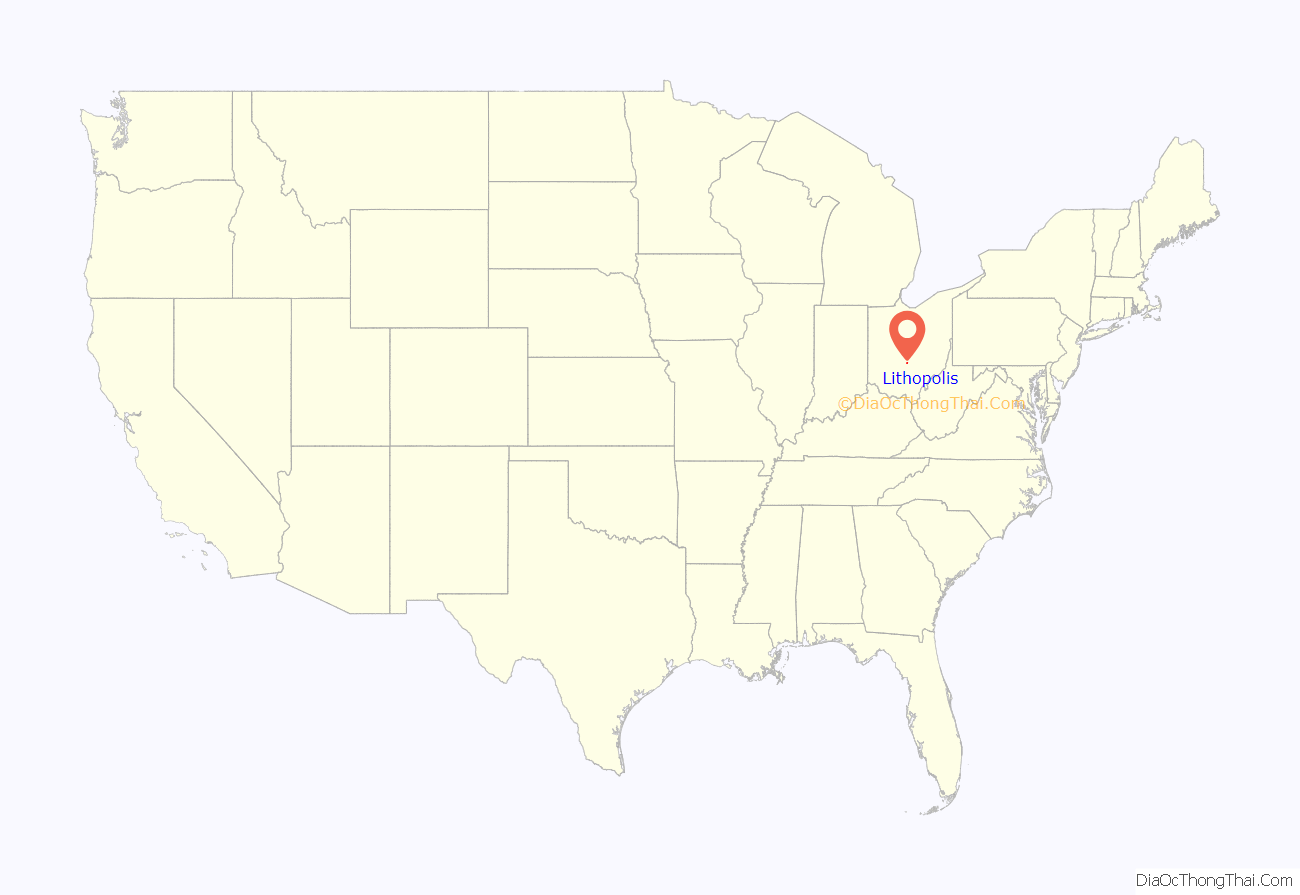
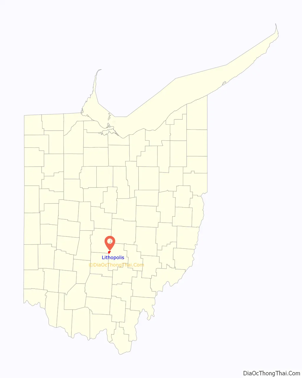
Lithopolis location map. Where is Lithopolis village?
History
Lithopolis was originally called Centerville, and under the latter name was laid out in 1815. The city presently is named for valuable deposits of stone near the original town site, the name Lithopolis translating to “stone city” in Greek. A post office called Lithopolis has been in operation since 1827.
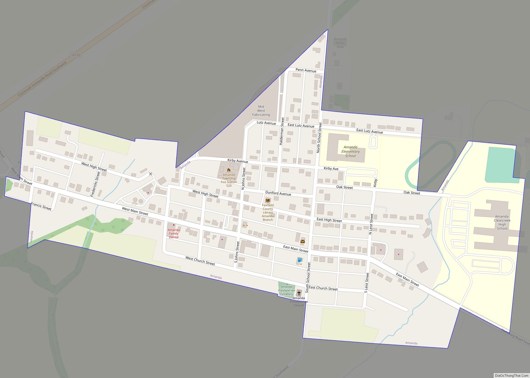
Lithopolis Road Map
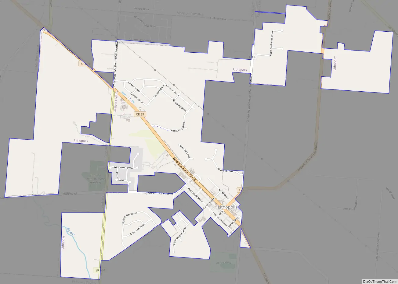
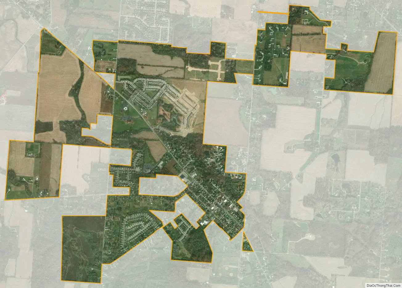
Lithopolis city Satellite Map
Geography
Lithopolis is located at 39°48′10″N 82°48′29″W / 39.80278°N 82.80806°W / 39.80278; -82.80806 (39.802655, -82.808023).
According to the United States Census Bureau, the village has a total area of 2.02 square miles (5.23 km), all land.
See also
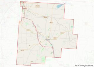
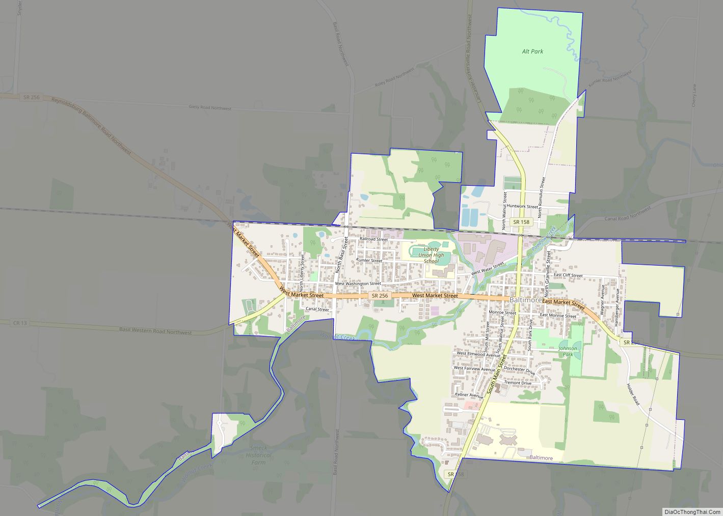
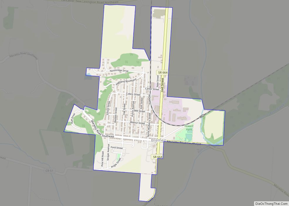
Map of Ohio State and its subdivision:- Adams
- Allen
- Ashland
- Ashtabula
- Athens
- Auglaize
- Belmont
- Brown
- Butler
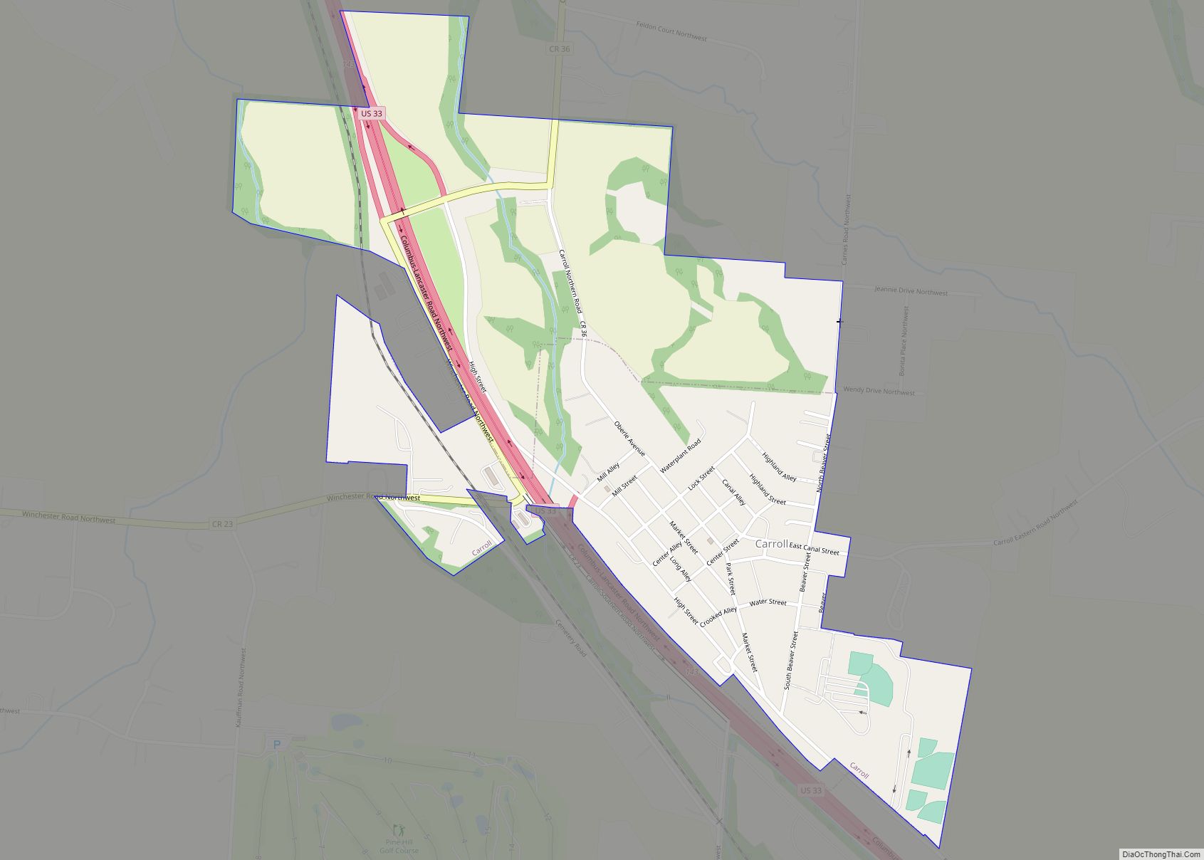
- Carroll
- Champaign
- Clark
- Clermont
- Clinton
- Columbiana
- Coshocton
- Crawford
- Cuyahoga
- Darke
- Defiance
- Delaware
- Erie
- Fairfield
- Fayette
- Franklin
- Fulton
- Gallia
- Geauga
- Greene
- Guernsey
- Hamilton
- Hancock
- Hardin
- Harrison
- Henry
- Highland
- Hocking
- Holmes
- Huron
- Jackson
- Jefferson
- Knox
- Lake
- Lake Erie
- Lawrence
- Licking
- Logan
- Lorain
- Lucas
- Madison
- Mahoning
- Marion
- Medina
- Meigs
- Mercer
- Miami
- Monroe
- Montgomery
- Morgan
- Morrow
- Muskingum
- Noble
- Ottawa
- Paulding
- Perry
- Pickaway
- Pike
- Portage
- Preble
- Putnam
- Richland
- Ross
- Sandusky
- Scioto
- Seneca
- Shelby
- Stark
- Summit
- Trumbull
- Tuscarawas
- Union
- Van Wert
- Vinton
- Warren
- Washington
- Wayne
- Williams
- Wood
- Wyandot
- Alabama
- Alaska
- Arizona
- Arkansas
- California
- Colorado
- Connecticut
- Delaware
- District of Columbia
- Florida
- Georgia
- Hawaii
- Idaho
- Illinois
- Indiana
- Iowa
- Kansas
- Kentucky
- Louisiana
- Maine
- Maryland
- Massachusetts
- Michigan
- Minnesota
- Mississippi
- Missouri
- Montana
- Nebraska
- Nevada
- New Hampshire
- New Jersey
- New Mexico
- New York
- North Carolina
- North Dakota
- Ohio
- Oklahoma
- Oregon
- Pennsylvania
- Rhode Island
- South Carolina
- South Dakota
- Tennessee
- Texas
- Utah
- Vermont
- Virginia
- Washington
- West Virginia
- Wisconsin
- Wyoming