Lockland is a village in Hamilton County, Ohio, United States. The population was 3,514 at the 2020 United States Census. Lockland is located in southwest Ohio, north of Cincinnati. Its population has declined since the latter part of the 20th century.
| Name: | Lockland village |
|---|---|
| LSAD Code: | 47 |
| LSAD Description: | village (suffix) |
| State: | Ohio |
| County: | Hamilton County |
| Incorporated: | 1849 |
| Elevation: | 581 ft (177 m) |
| Total Area: | 1.22 sq mi (3.16 km²) |
| Land Area: | 1.22 sq mi (3.16 km²) |
| Water Area: | 0.00 sq mi (0.00 km²) |
| Total Population: | 3,514 |
| Population Density: | 2,882.69/sq mi (1,113.12/km²) |
| ZIP code: | 45215 |
| Area code: | 513 |
| FIPS code: | 3944366 |
| GNISfeature ID: | 1059632 |
| Website: | www.lockland.com |
Online Interactive Map
Click on ![]() to view map in "full screen" mode.
to view map in "full screen" mode.
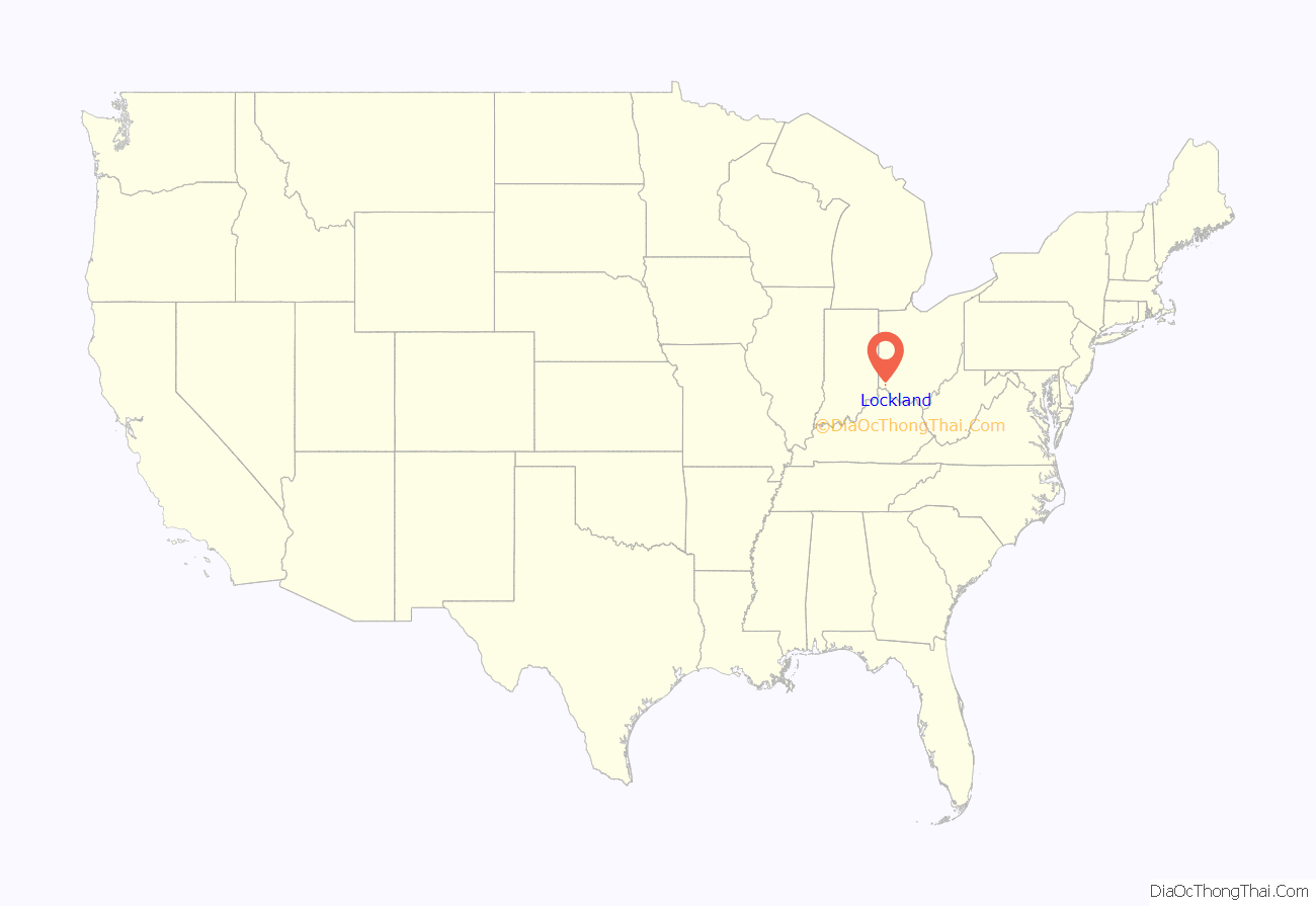
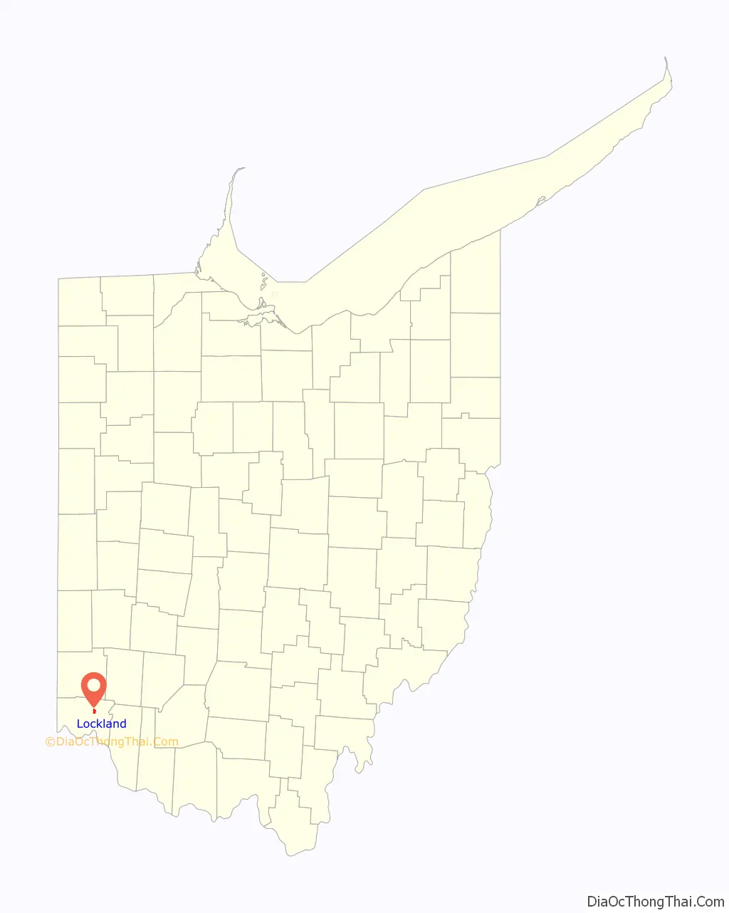
Lockland location map. Where is Lockland village?
History
The birth of the town, and its name, are related to the first set of lock gates on the Miami and Erie Canal traveling north from Cincinnati. The canal served as a major transportation route linking commerce from as far as New Orleans to New York City. Many people and industry were attracted to the western Ohio area by the idea of connecting Lake Erie to the Ohio River. Lockland provided an abundance of water power with its 15-foot (4.6 m) difference in water levels, allowing for a water-powered gristmill. A large reservoir pond allowed boats to dock for repairs or layover. Even today a section of Lockland is still referred to as “Bud-Town” which was the bedding and entertainment area of the day. A proliferation of railways during the latter part of the nineteenth century across the area gradually reduced the waterway’s usefulness, and the canal operation was officially halted in 1929. The canal sat still for a few years during the thirties. The Mill Creek Expressway reused some portions of the canal’s right-of-way as well as the Wright-Lockland Highway. The National Interstate and Defense Highways Act of 1956 created today’s interstate system, including Interstate 75 along the Mill Creek Expressway.
Lockland was home to the Stearns and Foster Mattress company, which was founded in Cincinnati in 1846 and moved to Lockland in 1880. The original factory and office building still stand in the downtown area of the village. However, after a fire in 2004 the two factory buildings, which sit on approximately 18 acres (73,000 m), began to be demolished. By 2015 demolition was complete, including removal of the smokestack on 26 March.
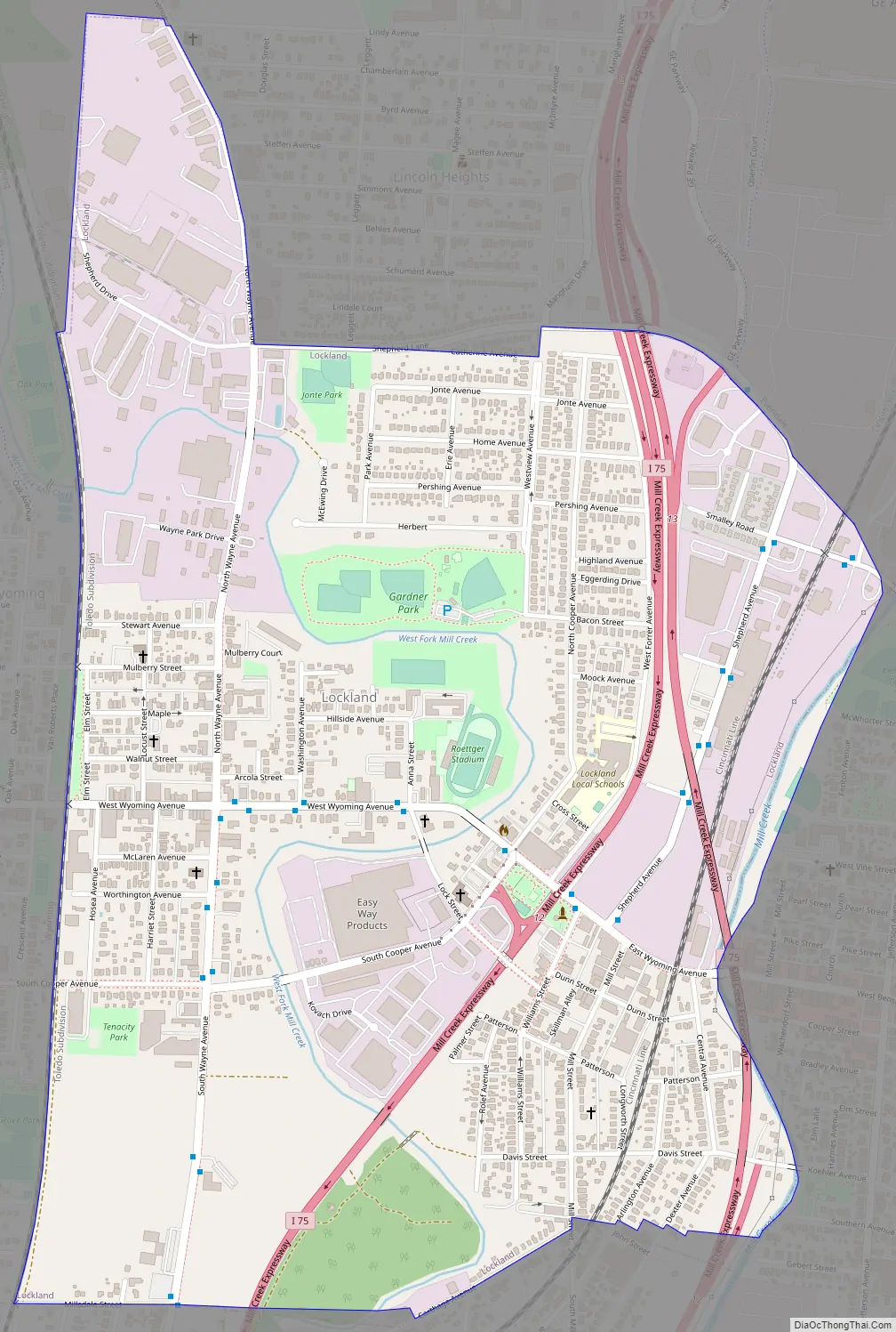
Lockland Road Map
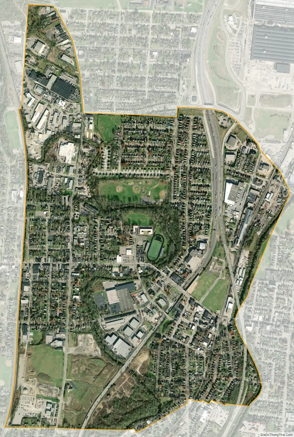
Lockland city Satellite Map
Geography
Lockland is located at 39°13′35″N 84°27′19″W / 39.22639°N 84.45528°W / 39.22639; -84.45528 (39.226409, -84.455217).
According to the United States Census Bureau, the village has a total area of 1.23 square miles (3.19 km), all land.
See also
Map of Ohio State and its subdivision:- Adams
- Allen
- Ashland
- Ashtabula
- Athens
- Auglaize
- Belmont
- Brown
- Butler
- Carroll
- Champaign
- Clark
- Clermont
- Clinton
- Columbiana
- Coshocton
- Crawford
- Cuyahoga
- Darke
- Defiance
- Delaware
- Erie
- Fairfield
- Fayette
- Franklin
- Fulton
- Gallia
- Geauga
- Greene
- Guernsey
- Hamilton
- Hancock
- Hardin
- Harrison
- Henry
- Highland
- Hocking
- Holmes
- Huron
- Jackson
- Jefferson
- Knox
- Lake
- Lake Erie
- Lawrence
- Licking
- Logan
- Lorain
- Lucas
- Madison
- Mahoning
- Marion
- Medina
- Meigs
- Mercer
- Miami
- Monroe
- Montgomery
- Morgan
- Morrow
- Muskingum
- Noble
- Ottawa
- Paulding
- Perry
- Pickaway
- Pike
- Portage
- Preble
- Putnam
- Richland
- Ross
- Sandusky
- Scioto
- Seneca
- Shelby
- Stark
- Summit
- Trumbull
- Tuscarawas
- Union
- Van Wert
- Vinton
- Warren
- Washington
- Wayne
- Williams
- Wood
- Wyandot
- Alabama
- Alaska
- Arizona
- Arkansas
- California
- Colorado
- Connecticut
- Delaware
- District of Columbia
- Florida
- Georgia
- Hawaii
- Idaho
- Illinois
- Indiana
- Iowa
- Kansas
- Kentucky
- Louisiana
- Maine
- Maryland
- Massachusetts
- Michigan
- Minnesota
- Mississippi
- Missouri
- Montana
- Nebraska
- Nevada
- New Hampshire
- New Jersey
- New Mexico
- New York
- North Carolina
- North Dakota
- Ohio
- Oklahoma
- Oregon
- Pennsylvania
- Rhode Island
- South Carolina
- South Dakota
- Tennessee
- Texas
- Utah
- Vermont
- Virginia
- Washington
- West Virginia
- Wisconsin
- Wyoming


