Lordstown is a village in southern Trumbull County, Ohio, United States. The population was 3,332 at the 2020 census. It is part of the Youngstown–Warren metropolitan area.
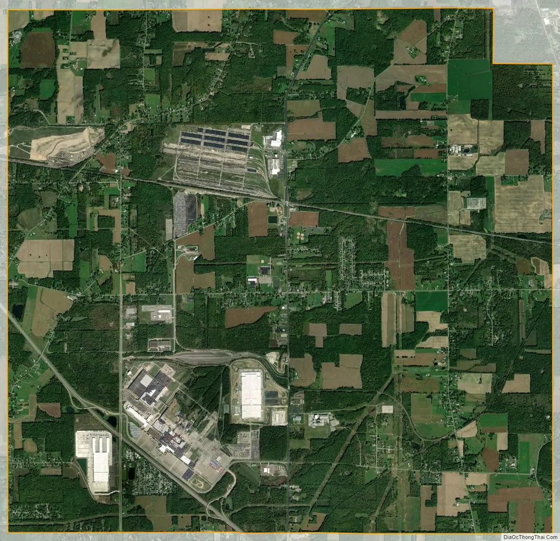
Lordstown is best known as the home of the Lordstown Assembly, a General Motors automotive plant that produced compact cars from 1966 until 2019. After the closure of Youngstown’s steel factories, the Lordstown Assembly became the largest industrial employer of the Mahoning Valley region. The factory is currently owned by Foxconn for the production of Lordstown Motors vehicles. GM and LG Chem have built a 30 GWh EV battery factory in the town, Ultium Cells LLC, which is scheduled to begin production in August 2022. The village is also home to a TJX HomeGoods distribution center, as well as several smaller manufacturers.
| Name: | Lordstown village |
|---|---|
| LSAD Code: | 47 |
| LSAD Description: | village (suffix) |
| State: | Ohio |
| County: | Trumbull County |
| Elevation: | 951 ft (290 m) |
| Total Area: | 23.20 sq mi (60.08 km²) |
| Land Area: | 23.19 sq mi (60.07 km²) |
| Water Area: | 0.00 sq mi (0.01 km²) |
| Total Population: | 3,332 |
| Population Density: | 143.67/sq mi (55.47/km²) |
| ZIP code: | 44481 |
| Area code: | 234/330 |
| FIPS code: | 3944912 |
| GNISfeature ID: | 1061443 |
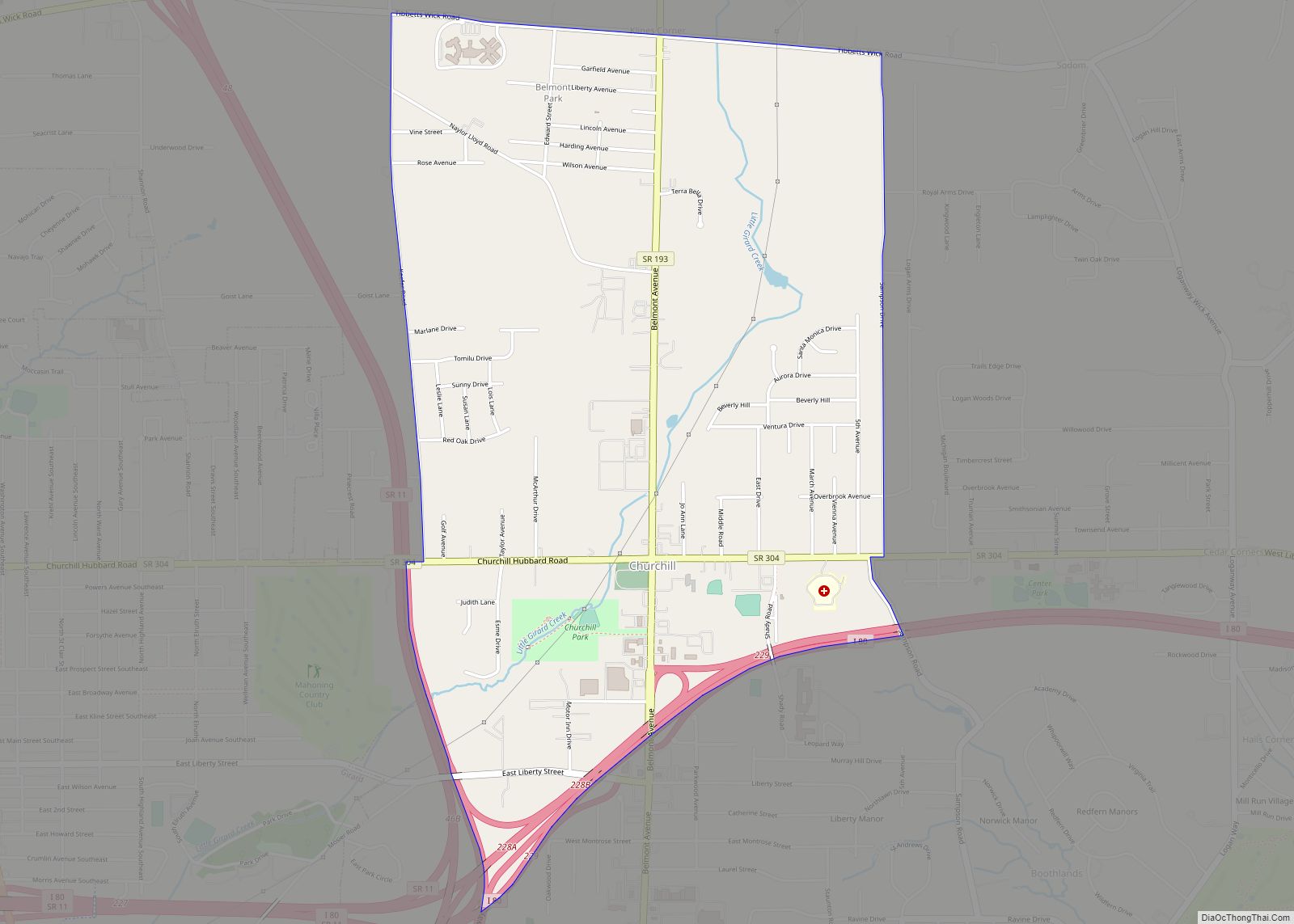
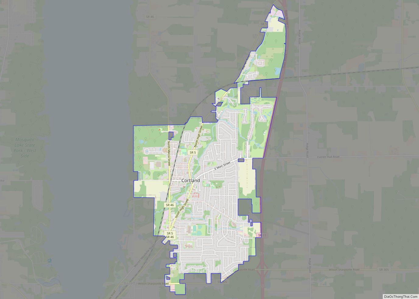
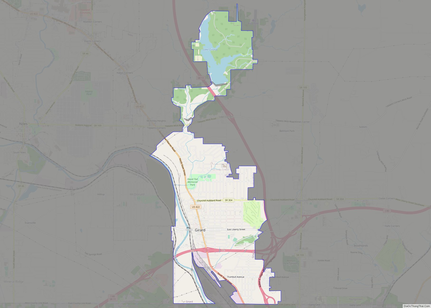
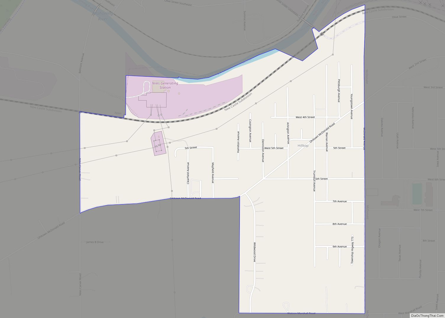
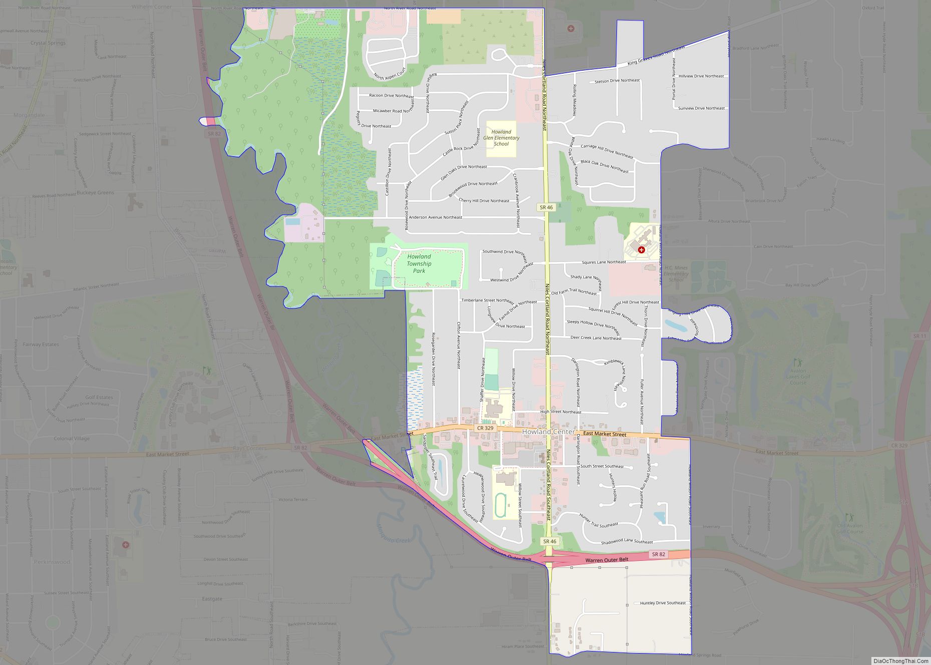
Online Interactive Map
Click on ![]() to view map in "full screen" mode.
to view map in "full screen" mode.
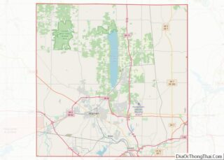
Lordstown location map. Where is Lordstown village?


History
Lordstown Township, which nearly completely incorporated as the village of Lordstown in 1975 (except for a small section which was then annexed to Warren Township), was one of the original survey townships of the Connecticut Western Reserve as Town 3, Range 4. The township, and subsequently the village, was named for Alec C. Lord, who laid out the township.
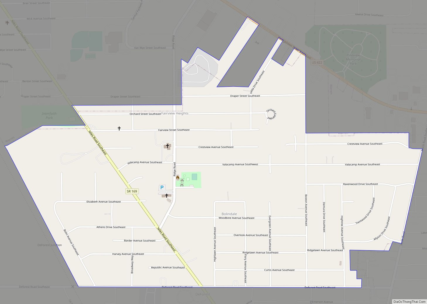
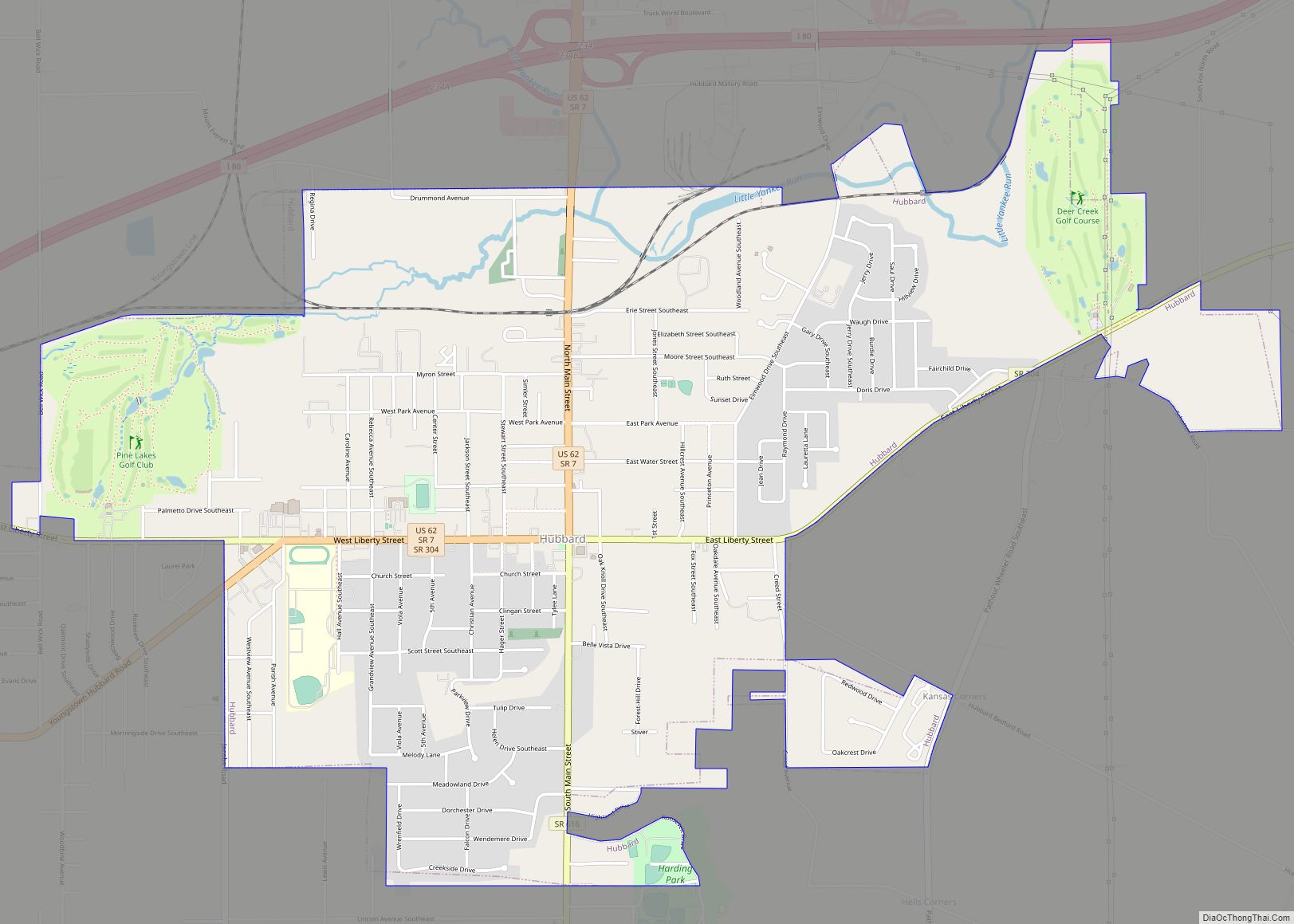
Lordstown Road Map

Lordstown city Satellite Map
Geography
Lordstown is at 41°10′18″N 80°52′00″W / 41.17167°N 80.86667°W / 41.17167; -80.86667Coordinates: 41°10′18″N 80°52′00″W / 41.17167°N 80.86667°W / 41.17167; -80.86667 (41.171785, -80.866655). It borders or touches the following other townships and municipalities:
- Jackson Township, Mahoning County, on the south;
- Milton Township, Mahoning County, on the southwest (touches, but does not border);
- Newton Township, on the west;
- Braceville Township, on the northwest (touches, but does not border);
- Warren Township, on the north;
- Weathersfield Township, on the east;
- Austintown Township, Mahoning County, on the southeast (touches, but does not border);
According to the United States Census Bureau, the village has a total area of 23.14 square miles (59.93 km), all land.
See also
Map of Ohio State and its subdivision:- Adams
- Allen
- Ashland
- Ashtabula
- Athens
- Auglaize
- Belmont
- Brown
- Butler
- Carroll
- Champaign
- Clark
- Clermont
- Clinton
- Columbiana
- Coshocton
- Crawford
- Cuyahoga
- Darke
- Defiance
- Delaware
- Erie
- Fairfield
- Fayette
- Franklin
- Fulton
- Gallia
- Geauga
- Greene
- Guernsey
- Hamilton
- Hancock
- Hardin
- Harrison
- Henry
- Highland
- Hocking
- Holmes
- Huron
- Jackson
- Jefferson
- Knox
- Lake
- Lake Erie
- Lawrence
- Licking
- Logan
- Lorain
- Lucas
- Madison
- Mahoning
- Marion
- Medina
- Meigs
- Mercer
- Miami
- Monroe
- Montgomery
- Morgan
- Morrow
- Muskingum
- Noble
- Ottawa
- Paulding
- Perry
- Pickaway
- Pike
- Portage
- Preble
- Putnam
- Richland
- Ross
- Sandusky
- Scioto
- Seneca
- Shelby
- Stark
- Summit
- Trumbull
- Tuscarawas
- Union
- Van Wert
- Vinton
- Warren
- Washington
- Wayne
- Williams
- Wood
- Wyandot
- Alabama
- Alaska
- Arizona
- Arkansas
- California
- Colorado
- Connecticut
- Delaware
- District of Columbia
- Florida
- Georgia
- Hawaii
- Idaho
- Illinois
- Indiana
- Iowa
- Kansas
- Kentucky
- Louisiana
- Maine
- Maryland
- Massachusetts
- Michigan
- Minnesota
- Mississippi
- Missouri
- Montana
- Nebraska
- Nevada
- New Hampshire
- New Jersey
- New Mexico
- New York
- North Carolina
- North Dakota
- Ohio
- Oklahoma
- Oregon
- Pennsylvania
- Rhode Island
- South Carolina
- South Dakota
- Tennessee
- Texas
- Utah
- Vermont
- Virginia
- Washington
- West Virginia
- Wisconsin
- Wyoming