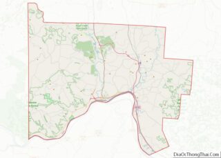
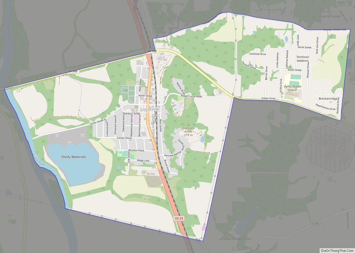
Lucasville is a census-designated place (CDP) in Scioto County, Ohio, United States. The population was 1,655 at the 2020 census. It is part of the Portsmouth micropolitan area.
Lucasville is the location of the Scioto County Fairgrounds. The Southern Ohio Correctional Facility, Ohio’s one of three maximum security prisons and the location of Ohio’s death house where death row inmates are executed, is located just outside Lucasville. The community is served by the Portsmouth Public Library, as well as the Valley Local School District and Northwest Local School District.
| Name: | Lucasville CDP |
|---|---|
| LSAD Code: | 57 |
| LSAD Description: | CDP (suffix) |
| State: | Ohio |
| County: | Scioto County |
| Elevation: | 548 ft (167 m) |
| Total Area: | 3.51 sq mi (9.10 km²) |
| Land Area: | 3.47 sq mi (9.00 km²) |
| Water Area: | 0.04 sq mi (0.10 km²) |
| Total Population: | 1,655 |
| Population Density: | 476.40/sq mi (183.96/km²) |
| ZIP code: | 45648, 45699 |
| Area code: | 740 |
| FIPS code: | 3945304 |
| GNISfeature ID: | 1061449 |
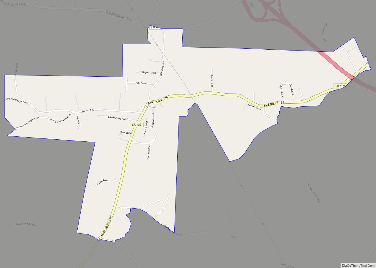
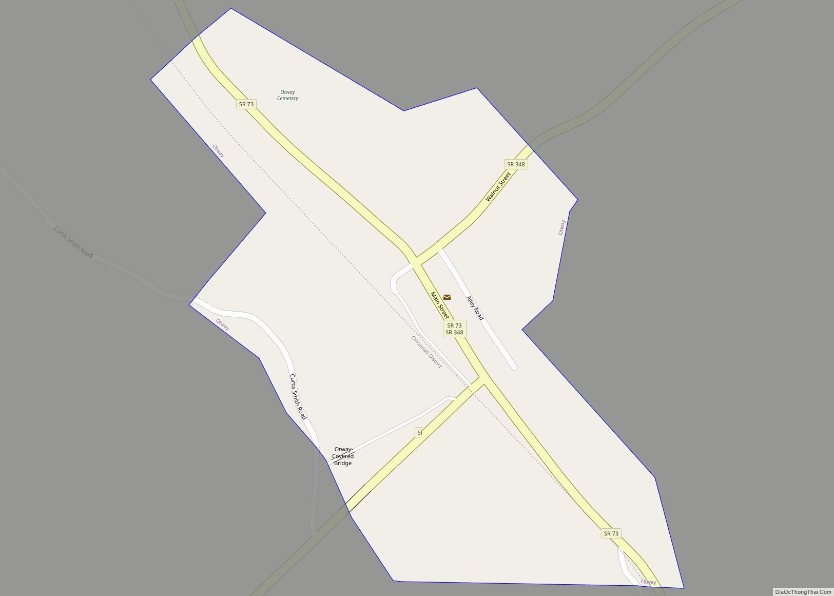
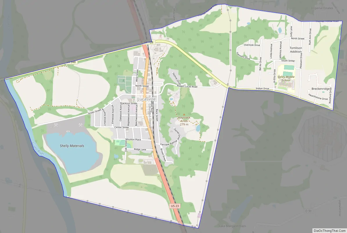
Online Interactive Map
Click on ![]() to view map in "full screen" mode.
to view map in "full screen" mode.
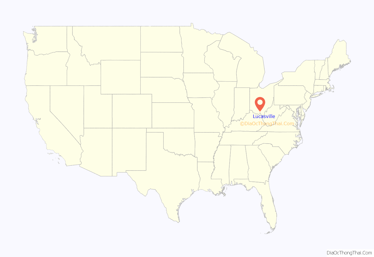
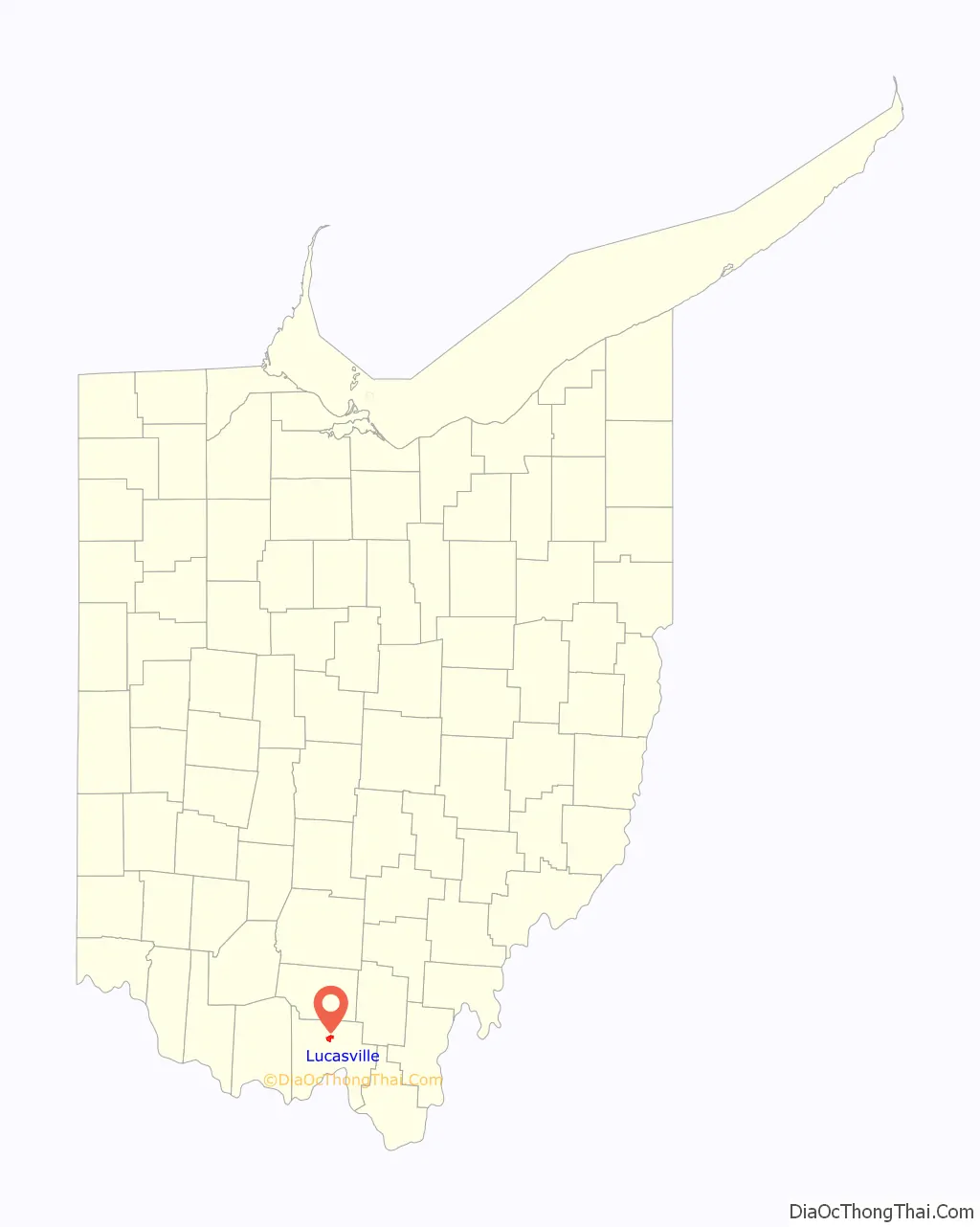
Lucasville location map. Where is Lucasville CDP?
History
Lucasville was laid out by Captain John Lucas (1788-1825) in 1819, and named for him. A post office called Lucasville has been in operation since 1828.
John Lucas was the brother of Robert Lucas, a War of 1812 hero, two-term governor of Ohio (1832-1836), and the first territorial governor of Iowa. John volunteered for service and commanded a regiment during the War of 1812. Upon the death of his father in 1814, John inherited much of his family’s property in Scioto County, and it was on a portion of this land that he would establish the town of Lucasville on August 7, 1819. He and his wife, Mary Lucas, ran a tavern in Lucasville until his death in 1825. He is interred in Lucasville Cemetery.
Lucasville Road Map
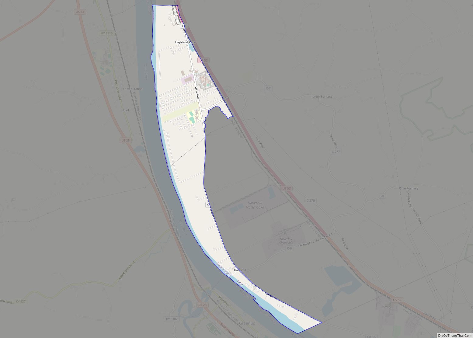
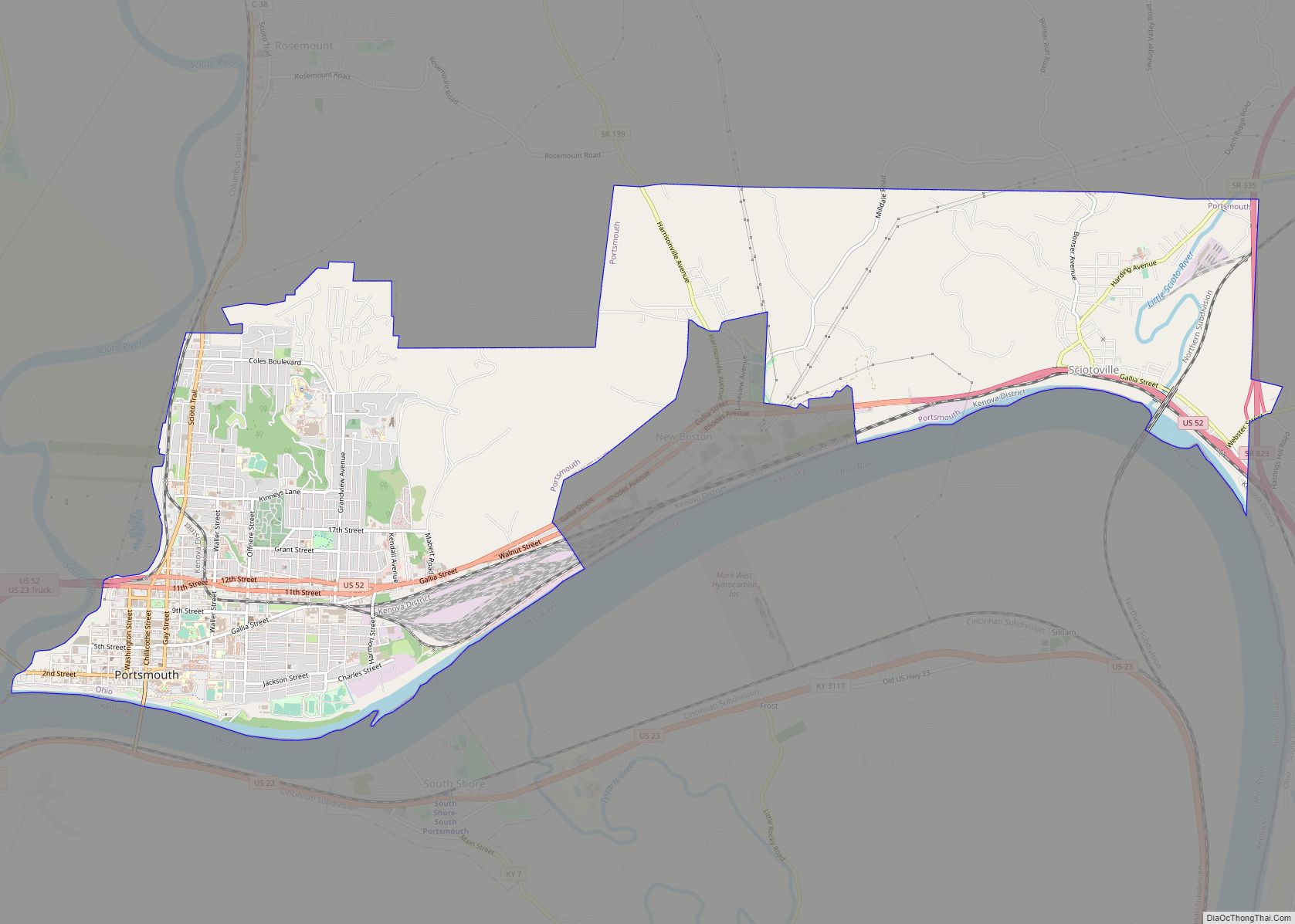
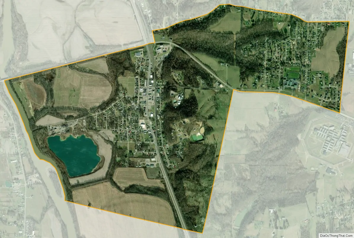
Lucasville city Satellite Map
Geography
Lucasville is located at 38°52′49″N 82°59′40″W / 38.88028°N 82.99444°W / 38.88028; -82.99444 (38.880234, -82.994439).
According to the United States Census Bureau, the CDP has a total area of 2.5 square miles (6.6 km), of which 2.5 square miles (6.5 km) is land and 0.04 square miles (0.1 km), or 1.57%, is water.
See also
Map of Ohio State and its subdivision:- Adams
- Allen
- Ashland
- Ashtabula
- Athens
- Auglaize
- Belmont
- Brown
- Butler
- Carroll
- Champaign
- Clark
- Clermont
- Clinton
- Columbiana
- Coshocton
- Crawford
- Cuyahoga
- Darke
- Defiance
- Delaware
- Erie
- Fairfield
- Fayette
- Franklin
- Fulton
- Gallia
- Geauga
- Greene
- Guernsey
- Hamilton
- Hancock
- Hardin
- Harrison
- Henry
- Highland
- Hocking
- Holmes
- Huron
- Jackson
- Jefferson
- Knox
- Lake
- Lake Erie
- Lawrence
- Licking
- Logan
- Lorain
- Lucas
- Madison
- Mahoning
- Marion
- Medina
- Meigs
- Mercer
- Miami
- Monroe
- Montgomery
- Morgan
- Morrow
- Muskingum
- Noble
- Ottawa
- Paulding
- Perry
- Pickaway
- Pike
- Portage
- Preble
- Putnam
- Richland
- Ross
- Sandusky
- Scioto
- Seneca
- Shelby
- Stark
- Summit
- Trumbull
- Tuscarawas
- Union
- Van Wert
- Vinton
- Warren
- Washington
- Wayne
- Williams
- Wood
- Wyandot
- Alabama
- Alaska
- Arizona
- Arkansas
- California
- Colorado
- Connecticut
- Delaware
- District of Columbia
- Florida
- Georgia
- Hawaii
- Idaho
- Illinois
- Indiana
- Iowa
- Kansas
- Kentucky
- Louisiana
- Maine
- Maryland
- Massachusetts
- Michigan
- Minnesota
- Mississippi
- Missouri
- Montana
- Nebraska
- Nevada
- New Hampshire
- New Jersey
- New Mexico
- New York
- North Carolina
- North Dakota
- Ohio
- Oklahoma
- Oregon
- Pennsylvania
- Rhode Island
- South Carolina
- South Dakota
- Tennessee
- Texas
- Utah
- Vermont
- Virginia
- Washington
- West Virginia
- Wisconsin
- Wyoming