Lyndhurst is a small city in Cuyahoga County, Ohio, United States, and an eastern suburb of Cleveland. The population was 14,050 at the 2020 census. A small part of Lyndhurst was originally part of Mayfield Township.
| Name: | Lyndhurst city |
|---|---|
| LSAD Code: | 25 |
| LSAD Description: | city (suffix) |
| State: | Ohio |
| County: | Cuyahoga County |
| Elevation: | 1,037 ft (316 m) |
| Total Area: | 4.44 sq mi (11.49 km²) |
| Land Area: | 4.43 sq mi (11.48 km²) |
| Water Area: | 0.01 sq mi (0.01 km²) |
| Total Population: | 14,050 |
| Population Density: | 3,170.13/sq mi (1,223.95/km²) |
| ZIP code: | 44124 |
| Area code: | 216, 440 |
| FIPS code: | 3945556 |
| GNISfeature ID: | 1085977 |
| Website: | www.lyndhurstohio.gov |
Online Interactive Map
Click on ![]() to view map in "full screen" mode.
to view map in "full screen" mode.
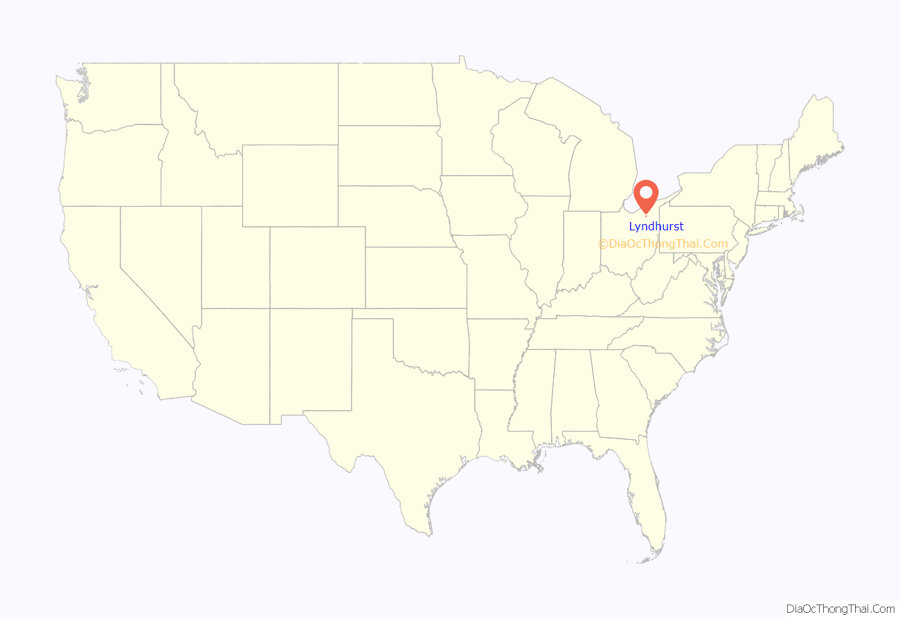
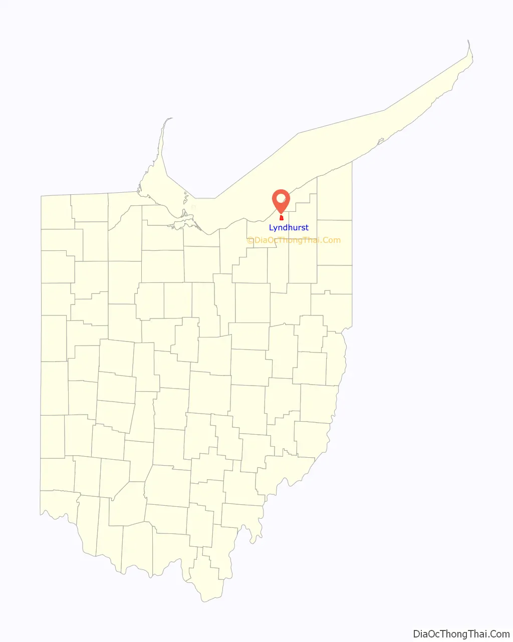
Lyndhurst location map. Where is Lyndhurst city?
History
The land currently comprising Lyndhurst was part of the Connecticut Western Reserve, obtained via treaty with the Iroquois tribe in 1796 by the Connecticut Land Company. In 1797, Moses Cleaveland named the area east of the Cuyahoga River “Euclid,” after the Greek Mathematician and Patron Saint of surveyors. Euclid Township was officially formed in 1809. Despite this, Lyndhurst’s population consisted mostly of Native American Indians until after the War of 1812.
In 1828 Euclid Township was divided into nine districts, with the present area of Lyndhurst becoming district four.
From 1877 the main traffic corridor has been Mayfield Road (U.S. Route 322). Initially a wood-planked toll road, it is now home to many retail establishments and restaurants.
The earliest industry was farming. As the area grew, it became known as Euclidville Village, the name changing to Lyndhurst Village in 1920 before Lyndhurst was formally incorporated as a city in 1921.
Population growth in Lyndhurst, which tapered during the Great Depression, skyrocketed during the postwar period, driven by both the baby boom and white flight from the urban center of Cleveland. Lyndhurst’s population peaked in the 1970s. By 1980, lacking large tracts of available land for development, and with a population shift to exurban communities, the population of Lyndhurst began to shrink. The 2010, population of Lyndhurst was 29% less than its peak during the 1970s.
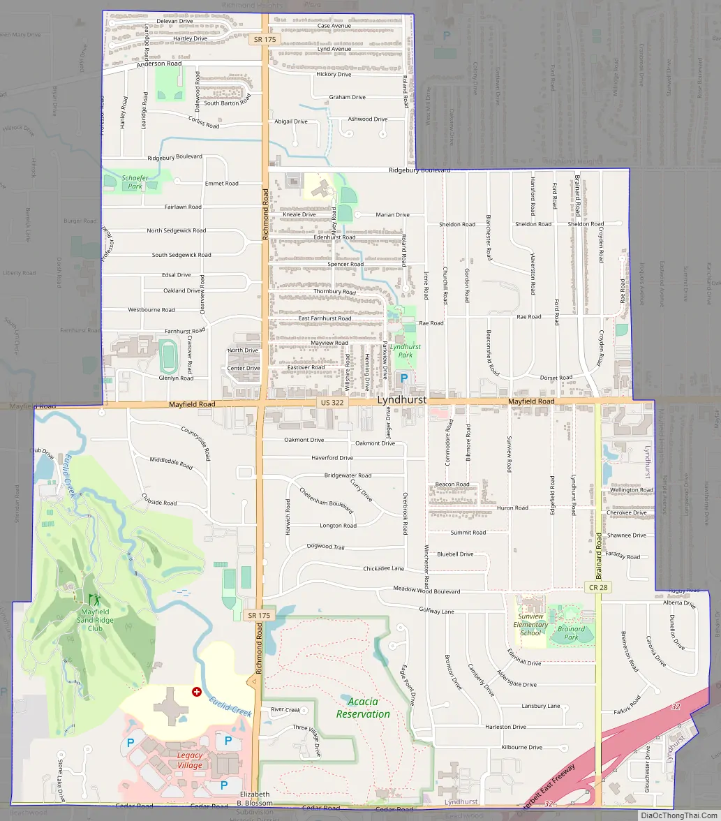
Lyndhurst Road Map
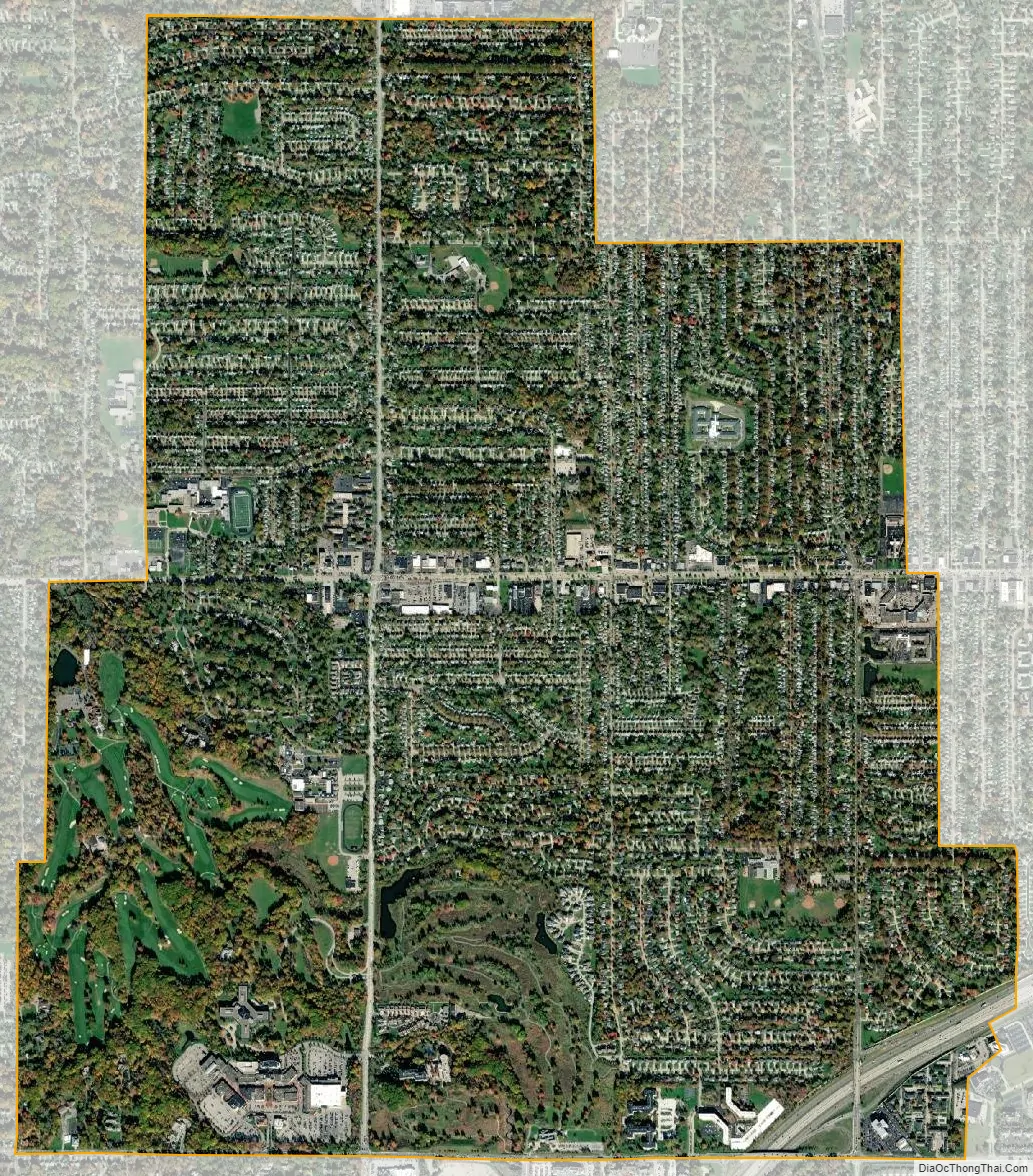
Lyndhurst city Satellite Map
Geography
According to the United States Census Bureau, the city has a total area of 4.44 square miles (11.50 km), of which 4.43 square miles (11.47 km) is land and 0.01 square miles (0.03 km) is water.
See also
Map of Ohio State and its subdivision:- Adams
- Allen
- Ashland
- Ashtabula
- Athens
- Auglaize
- Belmont
- Brown
- Butler
- Carroll
- Champaign
- Clark
- Clermont
- Clinton
- Columbiana
- Coshocton
- Crawford
- Cuyahoga
- Darke
- Defiance
- Delaware
- Erie
- Fairfield
- Fayette
- Franklin
- Fulton
- Gallia
- Geauga
- Greene
- Guernsey
- Hamilton
- Hancock
- Hardin
- Harrison
- Henry
- Highland
- Hocking
- Holmes
- Huron
- Jackson
- Jefferson
- Knox
- Lake
- Lake Erie
- Lawrence
- Licking
- Logan
- Lorain
- Lucas
- Madison
- Mahoning
- Marion
- Medina
- Meigs
- Mercer
- Miami
- Monroe
- Montgomery
- Morgan
- Morrow
- Muskingum
- Noble
- Ottawa
- Paulding
- Perry
- Pickaway
- Pike
- Portage
- Preble
- Putnam
- Richland
- Ross
- Sandusky
- Scioto
- Seneca
- Shelby
- Stark
- Summit
- Trumbull
- Tuscarawas
- Union
- Van Wert
- Vinton
- Warren
- Washington
- Wayne
- Williams
- Wood
- Wyandot
- Alabama
- Alaska
- Arizona
- Arkansas
- California
- Colorado
- Connecticut
- Delaware
- District of Columbia
- Florida
- Georgia
- Hawaii
- Idaho
- Illinois
- Indiana
- Iowa
- Kansas
- Kentucky
- Louisiana
- Maine
- Maryland
- Massachusetts
- Michigan
- Minnesota
- Mississippi
- Missouri
- Montana
- Nebraska
- Nevada
- New Hampshire
- New Jersey
- New Mexico
- New York
- North Carolina
- North Dakota
- Ohio
- Oklahoma
- Oregon
- Pennsylvania
- Rhode Island
- South Carolina
- South Dakota
- Tennessee
- Texas
- Utah
- Vermont
- Virginia
- Washington
- West Virginia
- Wisconsin
- Wyoming


