Maple Heights is a city in Cuyahoga County, Ohio, United States. It is a suburb of Cleveland. The population was 23,701 at the 2020 census.
| Name: | Maple Heights city |
|---|---|
| LSAD Code: | 25 |
| LSAD Description: | city (suffix) |
| State: | Ohio |
| County: | Cuyahoga County |
| Elevation: | 896 ft (273 m) |
| Total Area: | 5.17 sq mi (13.39 km²) |
| Land Area: | 5.17 sq mi (13.39 km²) |
| Water Area: | 0.00 sq mi (0.00 km²) |
| Total Population: | 23,701 |
| Population Density: | 4,585.22/sq mi (1,770.30/km²) |
| ZIP code: | 44137 |
| Area code: | 216 |
| FIPS code: | 3947306 |
| GNISfeature ID: | 1048945 |
| Website: | https://www.citymapleheights.com/ |
Online Interactive Map
Click on ![]() to view map in "full screen" mode.
to view map in "full screen" mode.
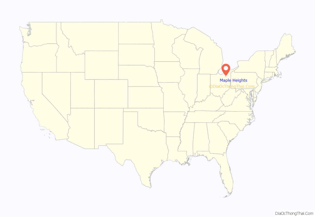
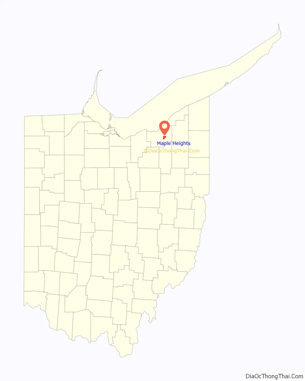
Maple Heights location map. Where is Maple Heights city?
History
In 1935, the city created Maple Heights Transit to provide connections to Downtown Cleveland, crosstown service, and service for schools.
Built as one of the first large shopping centers, Southgate USA was dedicated in 1955, boasting over 80 retail stores, including JCPenney, Sears, and May Company. In 2002, the GCRTA dedicated its Southgate Transit Center, serving as a connection between multiple bus lines between Downtown Cleveland, Bedford, Shaker Heights, East Cleveland, and the Summit County Line.
With deficit fund balances of over $2.8 million and defaults on 3 loan payments, Ohio Auditor of State Dave Yost declared the City to be in fiscal emergency in February 2015. Since February 2015, the City improved its finances and budgeting since with fund balances increasing and the general fund balance becoming positive in 2019—the first time since the fiscal emergency declaration. The City was released from fiscal emergency on November 18, 2020 by the Auditor of State; in the press release, Auditor of State Keith Faber said, “I applaud the leaders of the City for making the sacrifices and hard decisions that should provide residents a fiscally responsible community.”
In 2020, Governor Mike DeWine announced that GOJO Industries, makers of Purell, would establish a manufacturing facility in the City in the 325,000 square foot former Blue Coral building on Lee Road South. The Maple Heights facility was projected to bring 100 new jobs to the City.
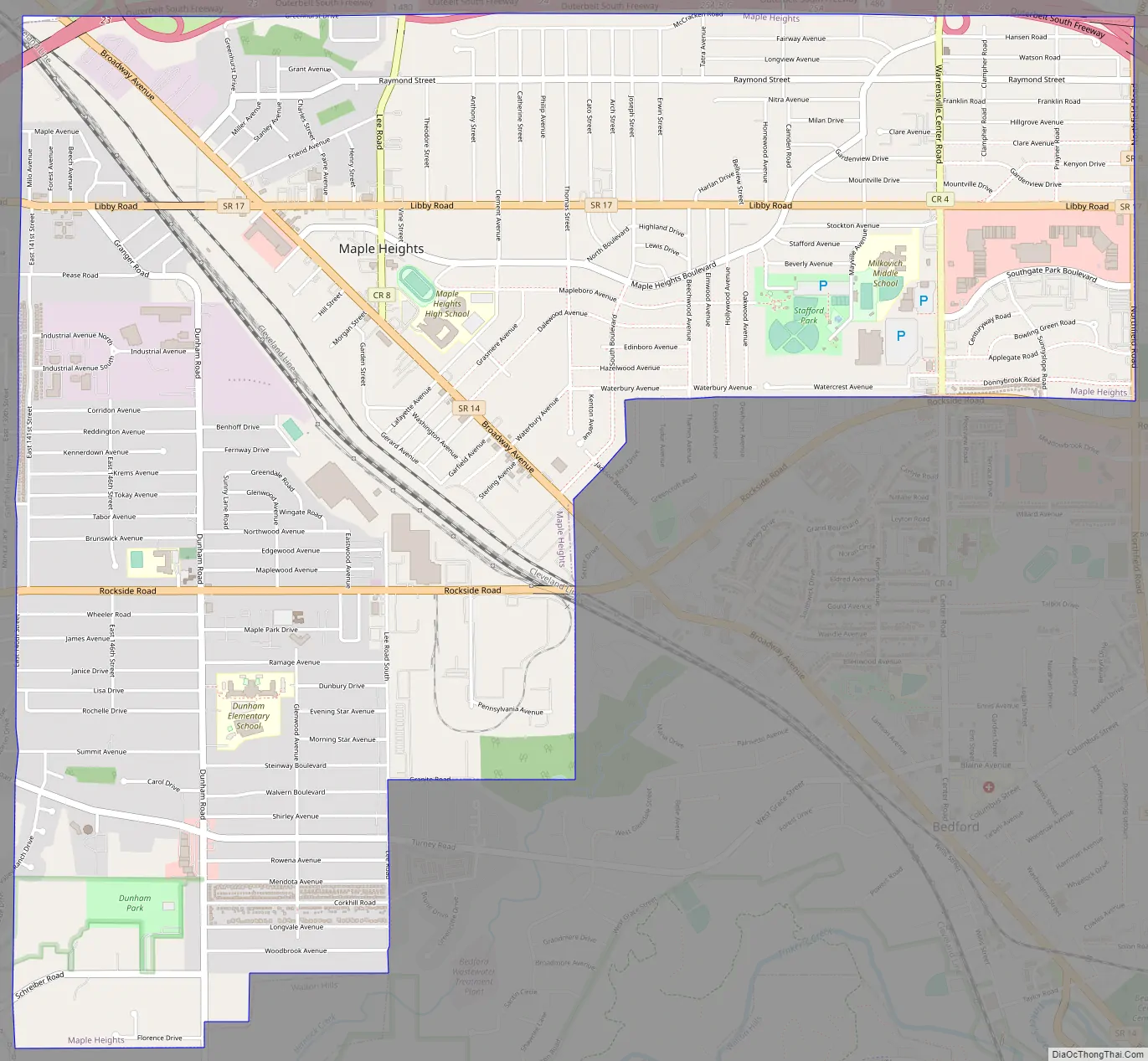
Maple Heights Road Map
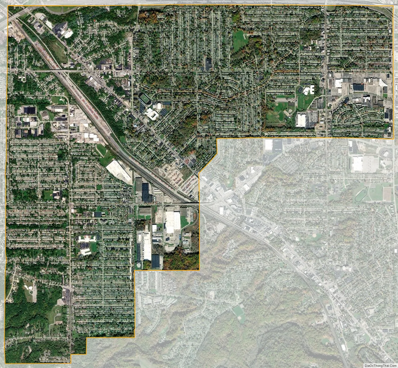
Maple Heights city Satellite Map
Geography
According to the United States Census Bureau, the city has a total area of 5.17 square miles (13.39 km), all land.
See also
Map of Ohio State and its subdivision:- Adams
- Allen
- Ashland
- Ashtabula
- Athens
- Auglaize
- Belmont
- Brown
- Butler
- Carroll
- Champaign
- Clark
- Clermont
- Clinton
- Columbiana
- Coshocton
- Crawford
- Cuyahoga
- Darke
- Defiance
- Delaware
- Erie
- Fairfield
- Fayette
- Franklin
- Fulton
- Gallia
- Geauga
- Greene
- Guernsey
- Hamilton
- Hancock
- Hardin
- Harrison
- Henry
- Highland
- Hocking
- Holmes
- Huron
- Jackson
- Jefferson
- Knox
- Lake
- Lake Erie
- Lawrence
- Licking
- Logan
- Lorain
- Lucas
- Madison
- Mahoning
- Marion
- Medina
- Meigs
- Mercer
- Miami
- Monroe
- Montgomery
- Morgan
- Morrow
- Muskingum
- Noble
- Ottawa
- Paulding
- Perry
- Pickaway
- Pike
- Portage
- Preble
- Putnam
- Richland
- Ross
- Sandusky
- Scioto
- Seneca
- Shelby
- Stark
- Summit
- Trumbull
- Tuscarawas
- Union
- Van Wert
- Vinton
- Warren
- Washington
- Wayne
- Williams
- Wood
- Wyandot
- Alabama
- Alaska
- Arizona
- Arkansas
- California
- Colorado
- Connecticut
- Delaware
- District of Columbia
- Florida
- Georgia
- Hawaii
- Idaho
- Illinois
- Indiana
- Iowa
- Kansas
- Kentucky
- Louisiana
- Maine
- Maryland
- Massachusetts
- Michigan
- Minnesota
- Mississippi
- Missouri
- Montana
- Nebraska
- Nevada
- New Hampshire
- New Jersey
- New Mexico
- New York
- North Carolina
- North Dakota
- Ohio
- Oklahoma
- Oregon
- Pennsylvania
- Rhode Island
- South Carolina
- South Dakota
- Tennessee
- Texas
- Utah
- Vermont
- Virginia
- Washington
- West Virginia
- Wisconsin
- Wyoming


