Mariemont (pronounced /ˈmɛərimɒnt/ MAIR-ee-mont) is a village in Hamilton County, Ohio, United States. It includes two overlapping historic districts, Village of Mariemont and Mariemont Historic District. Named for its founder, Mary Emery, Mariemont exhibits English architecture from Norman to classic Georgian style. Several parks exist in the village, including the Concourse on Miami Bluff Drive, and Dogwood Park that offers carillon concerts on Sundays throughout the summer months. The village square serves as the community center with red brick Tudor buildings, including the Mariemont Inn and Mariemont Barber Shop. Mariemont has one of the few elected town criers remaining in North America. In 2007, the Village of Mariemont was designated a National Historic Landmark. The population was 3,518 at the 2020 census.
| Name: | Mariemont village |
|---|---|
| LSAD Code: | 47 |
| LSAD Description: | village (suffix) |
| State: | Ohio |
| County: | Hamilton County |
| Elevation: | 587 ft (179 m) |
| Total Area: | 0.92 sq mi (2.37 km²) |
| Land Area: | 0.89 sq mi (2.32 km²) |
| Water Area: | 0.02 sq mi (0.06 km²) |
| Total Population: | 3,518 |
| Population Density: | 3,935.12/sq mi (1,519.62/km²) |
| ZIP code: | 45227 |
| Area code: | 513 |
| FIPS code: | 3947600 |
| GNISfeature ID: | 1061472 |
| Website: | www.mariemont.org |
Online Interactive Map
Click on ![]() to view map in "full screen" mode.
to view map in "full screen" mode.
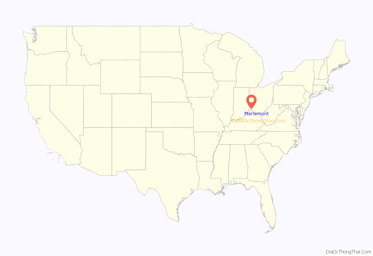
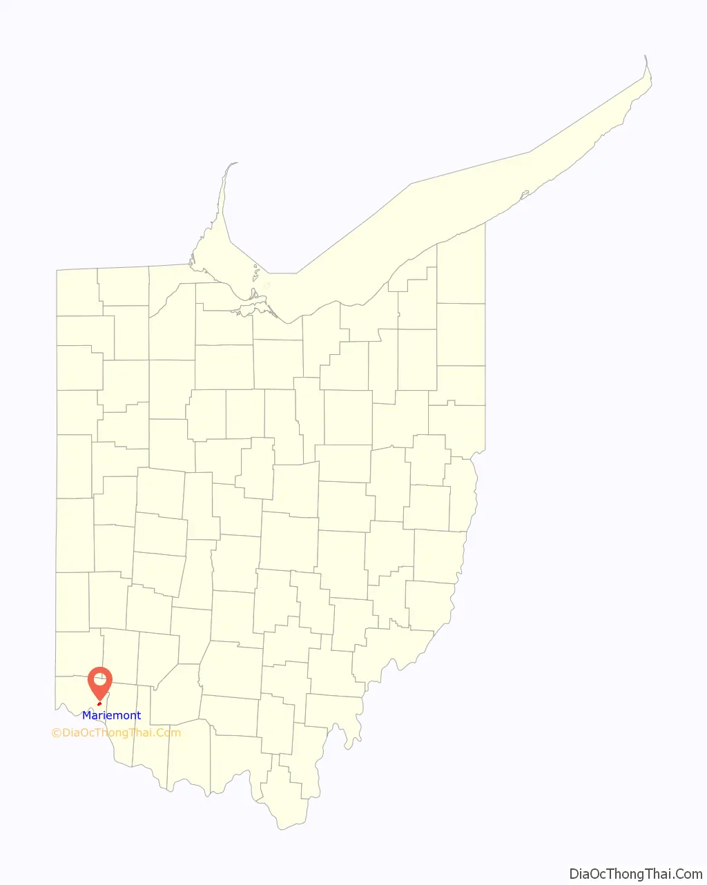
Mariemont location map. Where is Mariemont village?
History
Madisonville site, the remains of a Fort Ancient village abandoned before Europeans settled in the area in 1786, is located nearby. There is also a pioneer cemetery adjacent to the Mariemont Community Church.
Mariemont was founded by Mary Emery and planned by John Nolen and 25 leading American architects. Emery and other dignitaries broke ground on April 23, 1923. Emery had spent around seven million dollars of her own money to purchase the land that would become Mariemont. Her vision was of a planned community reminiscent of an English garden city that would welcome people of differing economic backgrounds, with a mix of single-family homes and affordable low-rise apartments.
However, the dream of welcoming all classes was not achieved in the end. Construction costs drove rents up considerably higher than those in the city that Emery had hoped to help others escape.Like other planned communities founded before 1960, Mariemont was originally an exclusively white community. Homeownership in Mariemont came with deed restrictions, including restrictions on occupants. “No lot shall be sold, conveyed, rented, leased or mortgaged to or occupied, except as a house servant, by a person of African or Asiatic descent.”
In 2008, owing to its “unique character, compact and walkable design, and strong citizen participation and engagement”, the American Planning Association designated Mariemont a “Great Neighbourhood”.
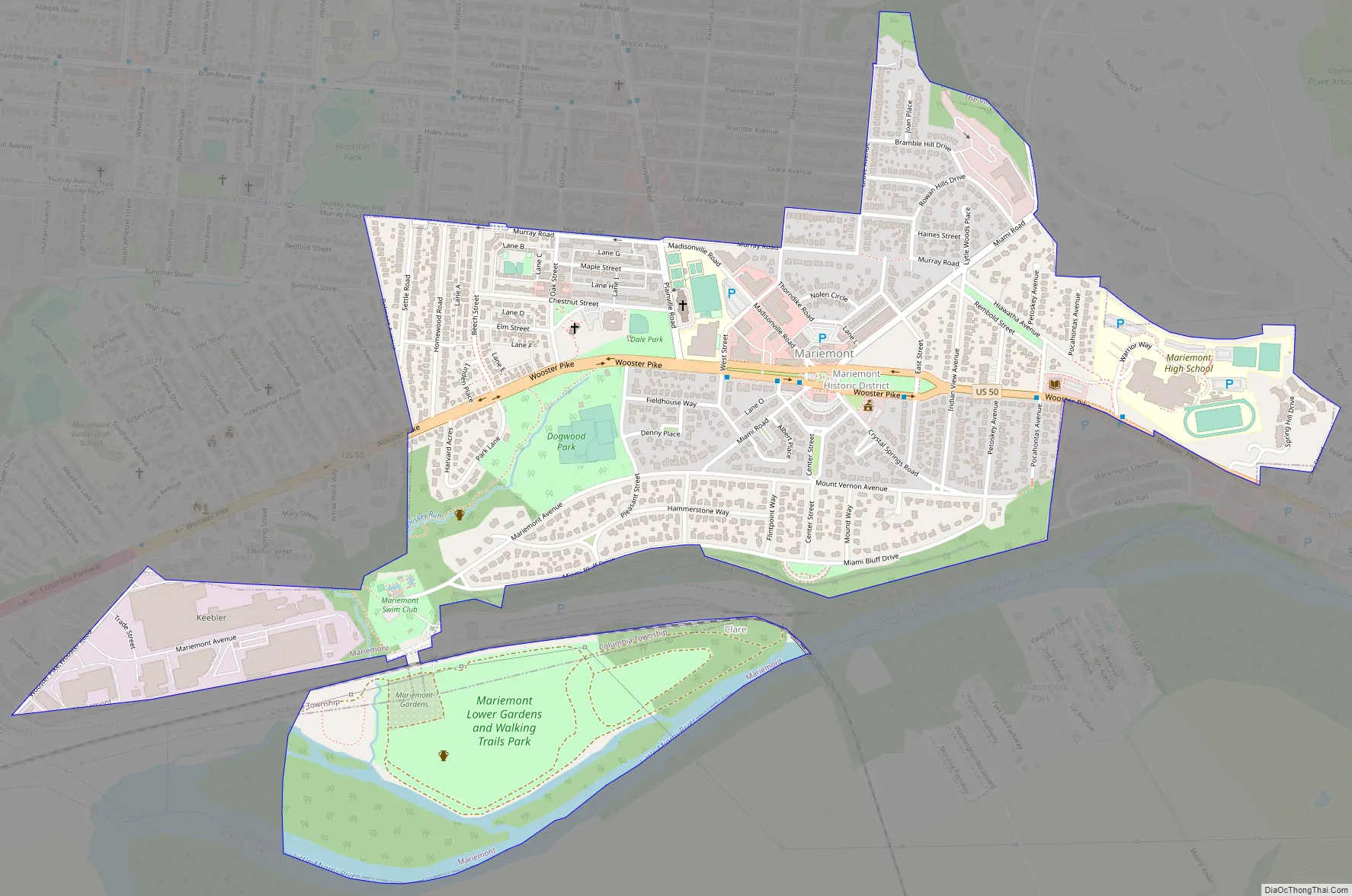
Mariemont Road Map
Mariemont city Satellite Map
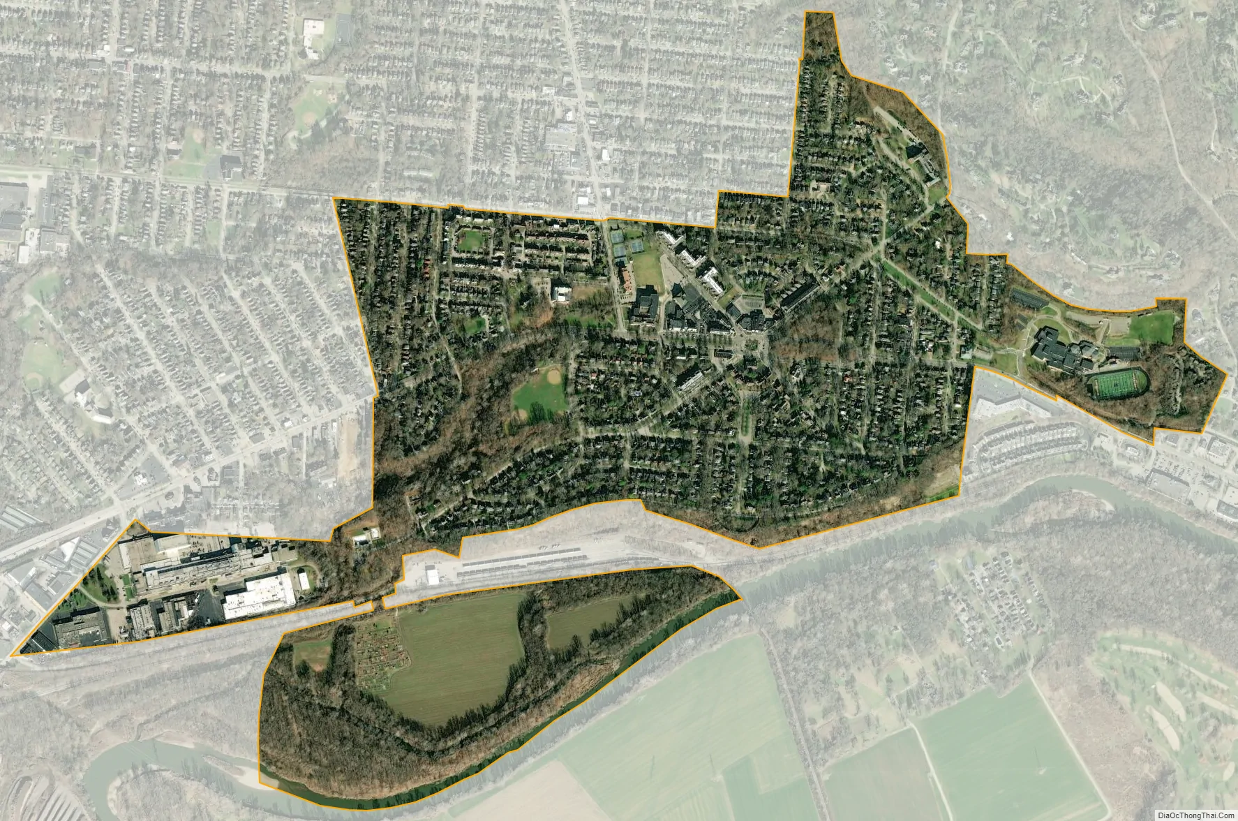
Geography
Mariemont is located at 39°08′39″N 84°22′34″W / 39.144261°N 84.376183°W / 39.144261; -84.376183.
According to the United States Census Bureau, the village has a total area of 0.89 square miles (2.31 km), of which 0.86 square miles (2.23 km) is land and 0.03 square miles (0.08 km) is water.
See also
Map of Ohio State and its subdivision:- Adams
- Allen
- Ashland
- Ashtabula
- Athens
- Auglaize
- Belmont
- Brown
- Butler
- Carroll
- Champaign
- Clark
- Clermont
- Clinton
- Columbiana
- Coshocton
- Crawford
- Cuyahoga
- Darke
- Defiance
- Delaware
- Erie
- Fairfield
- Fayette
- Franklin
- Fulton
- Gallia
- Geauga
- Greene
- Guernsey
- Hamilton
- Hancock
- Hardin
- Harrison
- Henry
- Highland
- Hocking
- Holmes
- Huron
- Jackson
- Jefferson
- Knox
- Lake
- Lake Erie
- Lawrence
- Licking
- Logan
- Lorain
- Lucas
- Madison
- Mahoning
- Marion
- Medina
- Meigs
- Mercer
- Miami
- Monroe
- Montgomery
- Morgan
- Morrow
- Muskingum
- Noble
- Ottawa
- Paulding
- Perry
- Pickaway
- Pike
- Portage
- Preble
- Putnam
- Richland
- Ross
- Sandusky
- Scioto
- Seneca
- Shelby
- Stark
- Summit
- Trumbull
- Tuscarawas
- Union
- Van Wert
- Vinton
- Warren
- Washington
- Wayne
- Williams
- Wood
- Wyandot
- Alabama
- Alaska
- Arizona
- Arkansas
- California
- Colorado
- Connecticut
- Delaware
- District of Columbia
- Florida
- Georgia
- Hawaii
- Idaho
- Illinois
- Indiana
- Iowa
- Kansas
- Kentucky
- Louisiana
- Maine
- Maryland
- Massachusetts
- Michigan
- Minnesota
- Mississippi
- Missouri
- Montana
- Nebraska
- Nevada
- New Hampshire
- New Jersey
- New Mexico
- New York
- North Carolina
- North Dakota
- Ohio
- Oklahoma
- Oregon
- Pennsylvania
- Rhode Island
- South Carolina
- South Dakota
- Tennessee
- Texas
- Utah
- Vermont
- Virginia
- Washington
- West Virginia
- Wisconsin
- Wyoming


