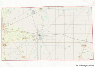
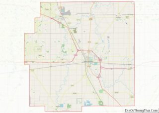
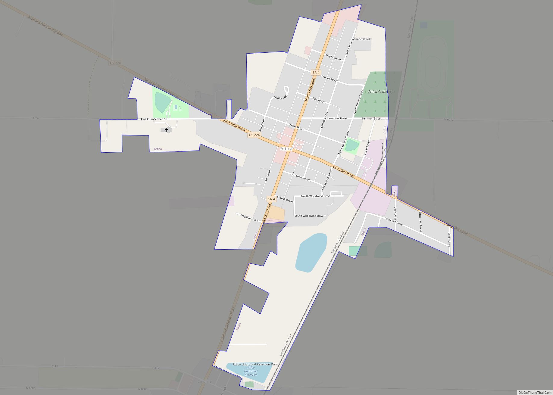
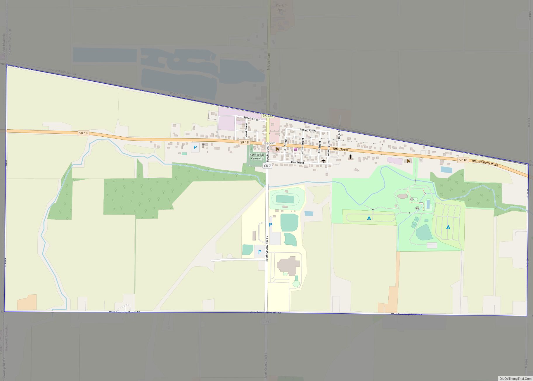
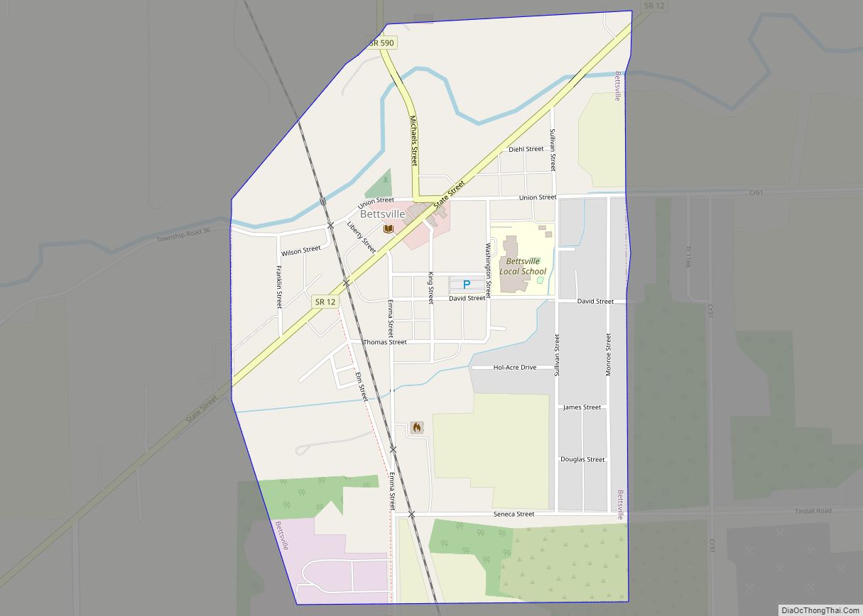
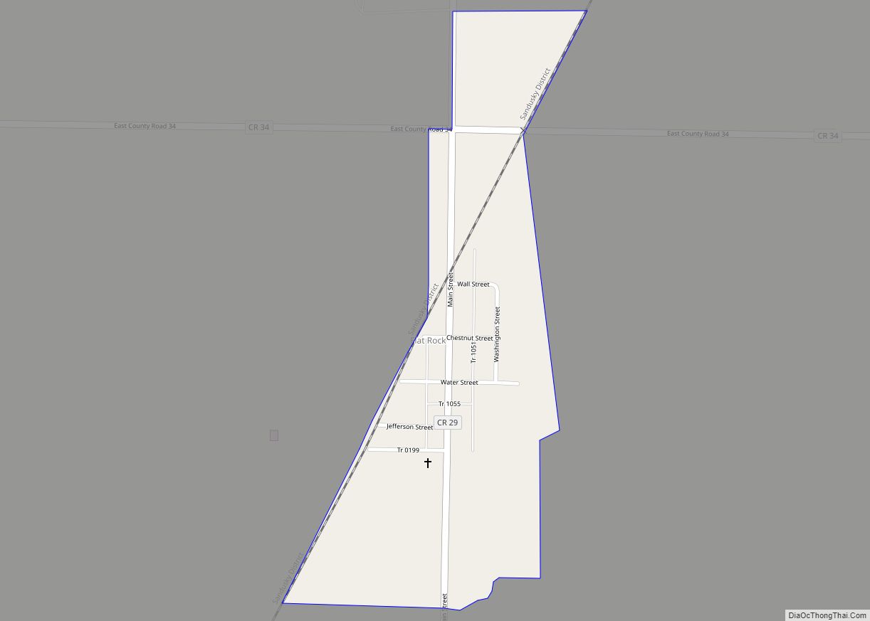
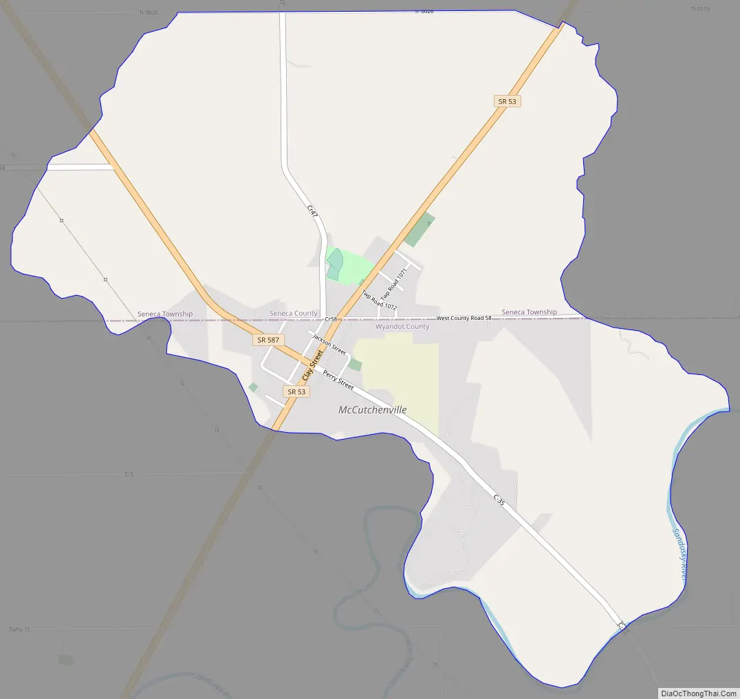
McCutchenville is a census-designated place (CDP) in northern Tymochtee Township, Wyandot County, Ohio, United States. It has a post office with the ZIP code 44844. It lies at the intersection of State Routes 53 and 587.
| Name: | McCutchenville CDP |
|---|---|
| LSAD Code: | 57 |
| LSAD Description: | CDP (suffix) |
| State: | Ohio |
| County: | Seneca County, Wyandot County |
| Total Area: | 2.79 sq mi (7.24 km²) |
| Land Area: | 2.78 sq mi (7.20 km²) |
| Water Area: | 0.01 sq mi (0.04 km²) |
| Total Population: | 371 |
| Population Density: | 133.45/sq mi (51.52/km²) |
| ZIP code: | 44844 |
| FIPS code: | 3945892 |
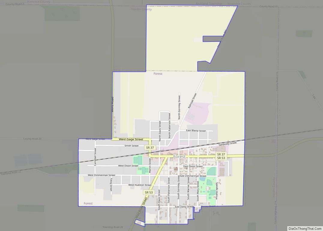
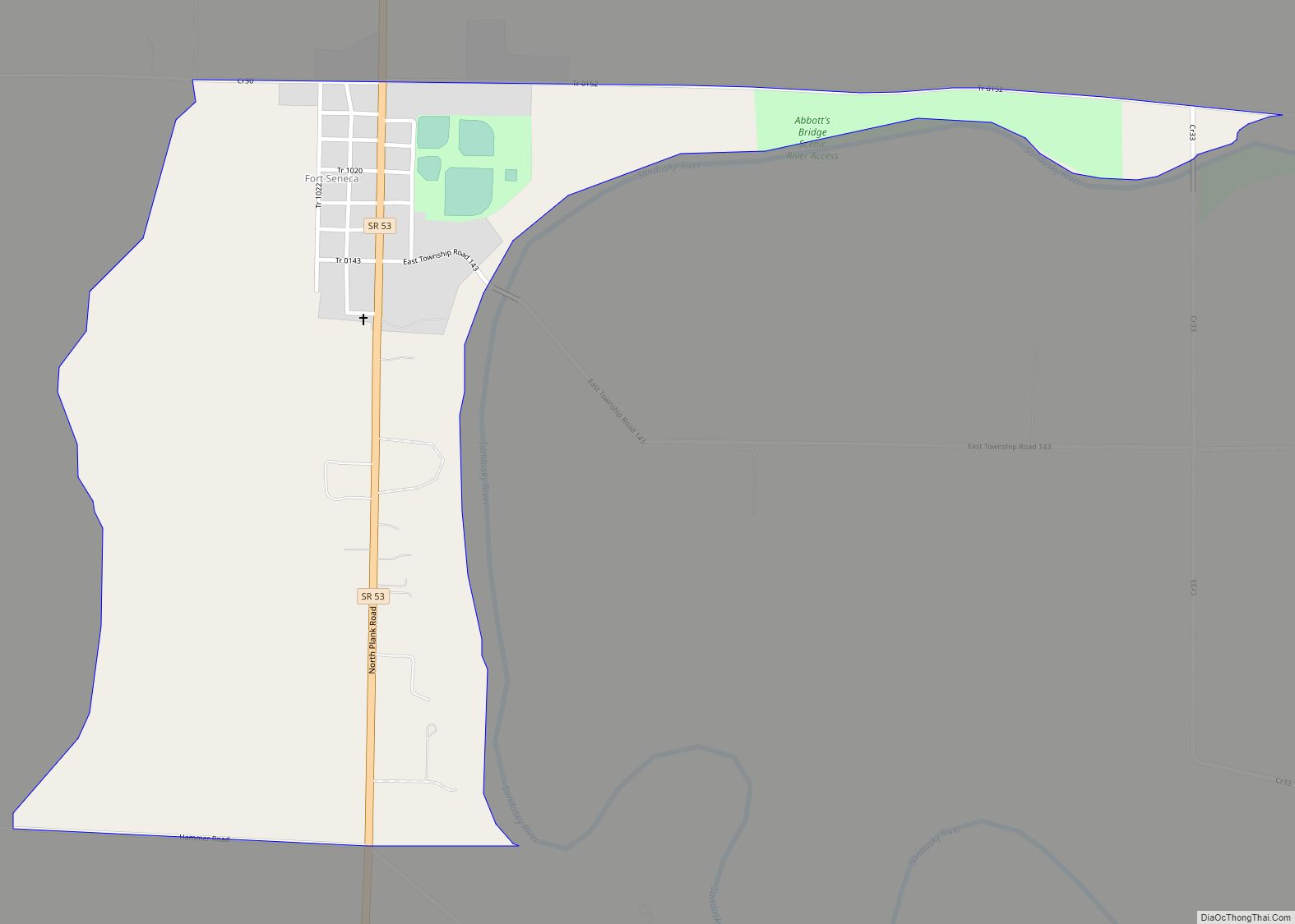
Online Interactive Map
Click on ![]() to view map in "full screen" mode.
to view map in "full screen" mode.
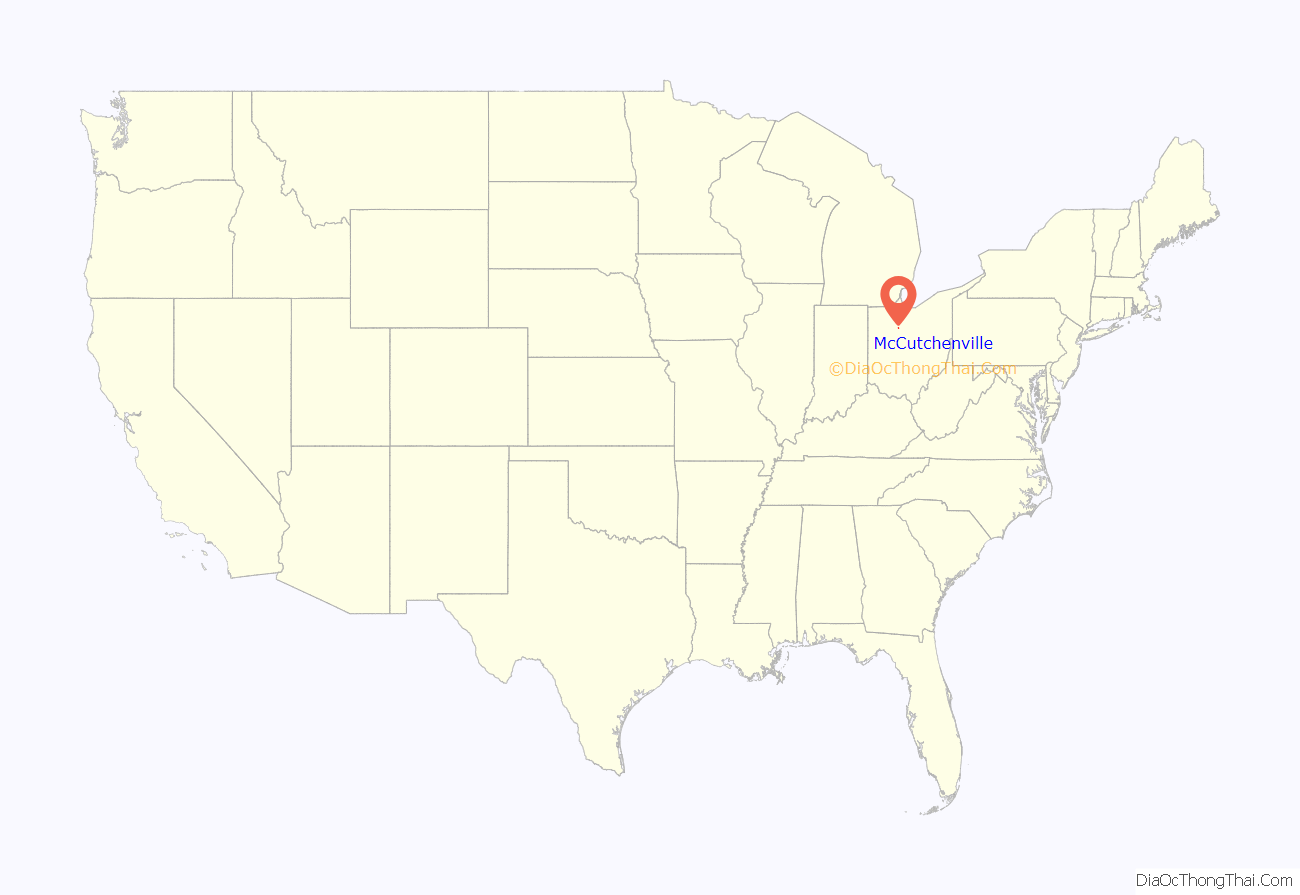
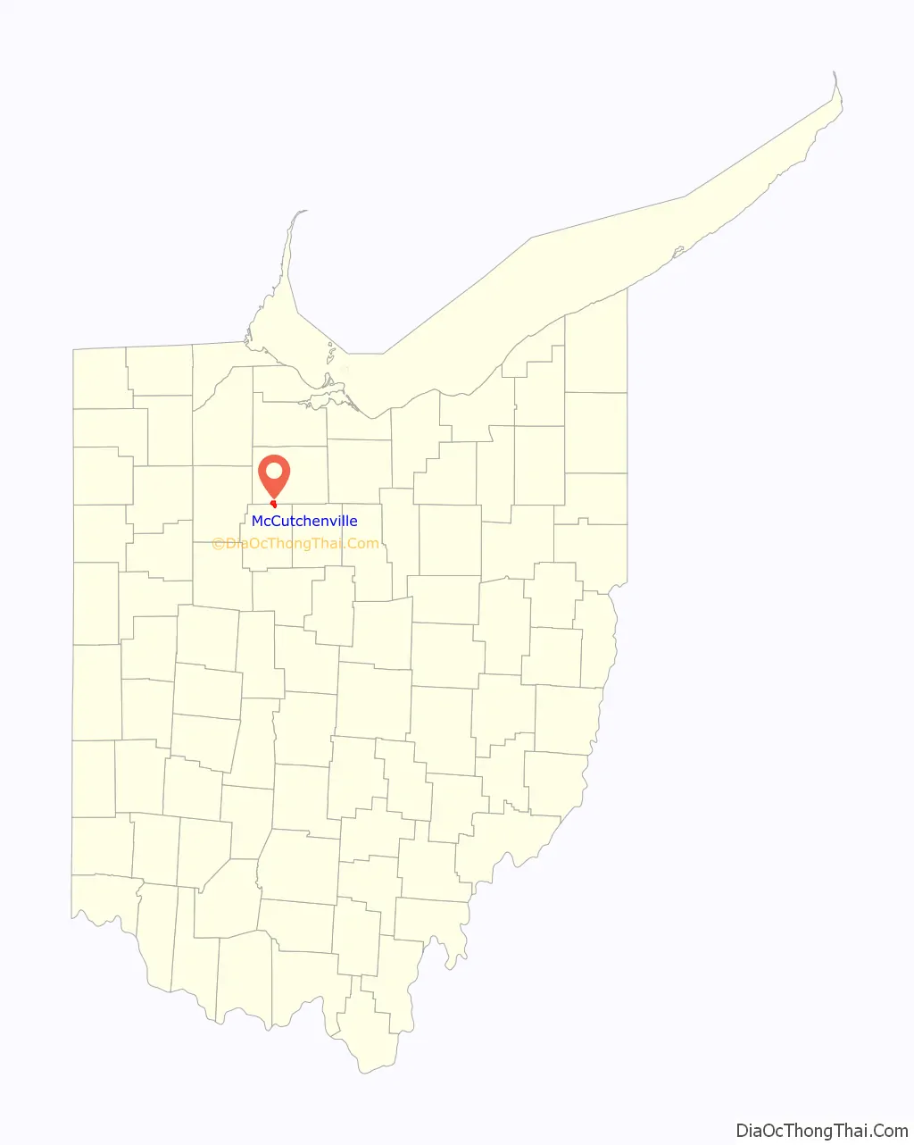
McCutchenville location map. Where is McCutchenville CDP?
History
McCutchenville was laid out in 1829. The community was named for Joseph McCutchen, the original owner of the town site. A post office has been in operation at McCutchenville since 1833. In 1829, Joseph McCuthchen built the McCutchen Overland Inn. The Inn served as a stagecoach stop on the Harrison Trail. Later, the Inn became a hotel and apartment building, before falling into disrepair. The structure that formerly housed the Inn was purchased by the Wyandot County Historical Society in 1964. Over the course of three years, the building was restored to its stagecoach days, and was soon dedicated as a stagecoach museum. It is one of only two original stagecoach inns remaining in the state.
McCutchenville Road Map
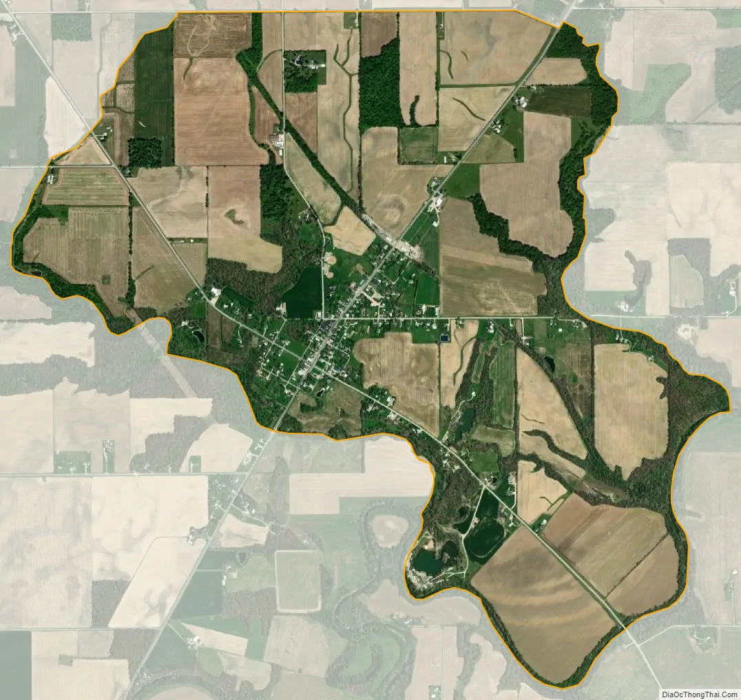
McCutchenville city Satellite Map
See also
Map of Ohio State and its subdivision:- Adams
- Allen
- Ashland
- Ashtabula
- Athens
- Auglaize
- Belmont
- Brown
- Butler
- Carroll
- Champaign
- Clark
- Clermont
- Clinton
- Columbiana
- Coshocton
- Crawford
- Cuyahoga
- Darke
- Defiance
- Delaware
- Erie
- Fairfield
- Fayette
- Franklin
- Fulton
- Gallia
- Geauga
- Greene
- Guernsey
- Hamilton
- Hancock
- Hardin
- Harrison
- Henry
- Highland
- Hocking
- Holmes
- Huron
- Jackson
- Jefferson
- Knox
- Lake
- Lake Erie
- Lawrence
- Licking
- Logan
- Lorain
- Lucas
- Madison
- Mahoning
- Marion
- Medina
- Meigs
- Mercer
- Miami
- Monroe
- Montgomery
- Morgan
- Morrow
- Muskingum
- Noble
- Ottawa
- Paulding
- Perry
- Pickaway
- Pike
- Portage
- Preble
- Putnam
- Richland
- Ross
- Sandusky
- Scioto
- Seneca
- Shelby
- Stark
- Summit
- Trumbull
- Tuscarawas
- Union
- Van Wert
- Vinton
- Warren
- Washington
- Wayne
- Williams
- Wood
- Wyandot
- Alabama
- Alaska
- Arizona
- Arkansas
- California
- Colorado
- Connecticut
- Delaware
- District of Columbia
- Florida
- Georgia
- Hawaii
- Idaho
- Illinois
- Indiana
- Iowa
- Kansas
- Kentucky
- Louisiana
- Maine
- Maryland
- Massachusetts
- Michigan
- Minnesota
- Mississippi
- Missouri
- Montana
- Nebraska
- Nevada
- New Hampshire
- New Jersey
- New Mexico
- New York
- North Carolina
- North Dakota
- Ohio
- Oklahoma
- Oregon
- Pennsylvania
- Rhode Island
- South Carolina
- South Dakota
- Tennessee
- Texas
- Utah
- Vermont
- Virginia
- Washington
- West Virginia
- Wisconsin
- Wyoming