Mechanicsburg is a village in Champaign County, Ohio, United States. The population was 1,644 at the 2010 census.
| Name: | Mechanicsburg village |
|---|---|
| LSAD Code: | 47 |
| LSAD Description: | village (suffix) |
| State: | Ohio |
| County: | Champaign County |
| Elevation: | 1,083 ft (330 m) |
| Total Area: | 0.98 sq mi (2.55 km²) |
| Land Area: | 0.98 sq mi (2.54 km²) |
| Water Area: | 0.00 sq mi (0.01 km²) |
| Total Population: | 1,681 |
| Population Density: | 1,713.56/sq mi (661.50/km²) |
| ZIP code: | 43044 |
| Area code: | 937, 326 |
| FIPS code: | 3948706 |
| GNISfeature ID: | 1061501 |
| Website: | http://www.mechanicsburgohio.org/ |
Online Interactive Map
Click on ![]() to view map in "full screen" mode.
to view map in "full screen" mode.
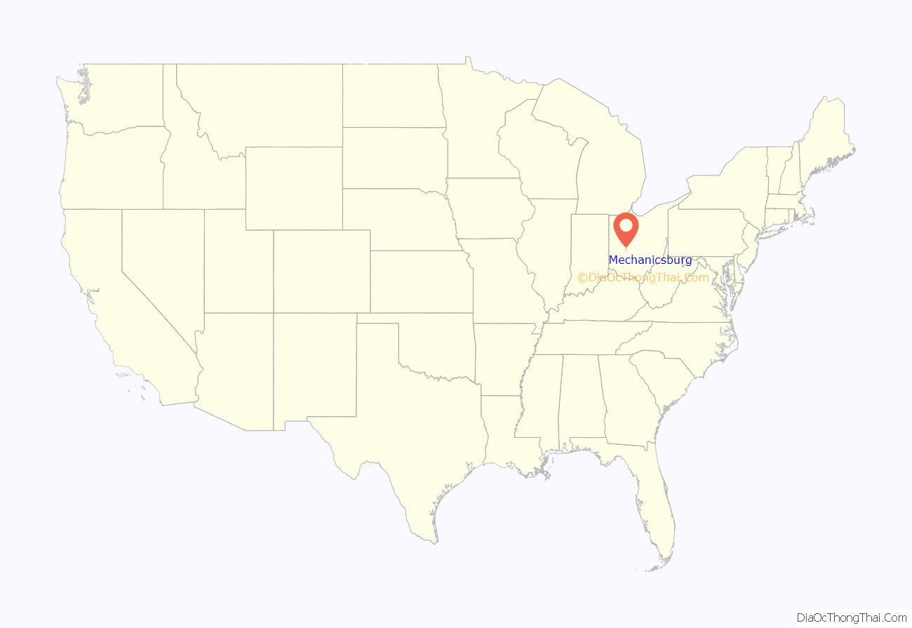
Mechanicsburg location map. Where is Mechanicsburg village?
History
Mechanicsburg was platted in 1814. The village was so named for the fact a large share of its settlers worked as mechanics. By 1833, Mechanicsburg’s industries included two stores, a gristmill and a saw mill. Mechanicsburg was incorporated as a village in 1834.
During the antebellum years, because of its location on a tributary of the Ohio River, Mechanicsburg was used as a station on the Underground Railroad. The “conductor” Udney Hyde (1808-1887) is credited with helping more than 500 fugitive slaves on their way to freedom.
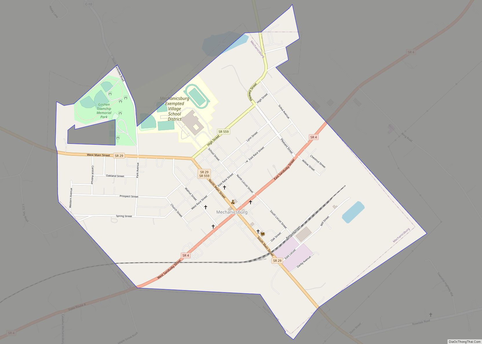
Mechanicsburg Road Map
Mechanicsburg city Satellite Map
Geography
Mechanicsburg is located at 40°4′28″N 83°33′28″W / 40.07444°N 83.55778°W / 40.07444; -83.55778 (40.074483, -83.557759).
According to the United States Census Bureau, the village has a total area of 1.02 square miles (2.64 km), of which, 1.01 square miles (2.62 km) is land and 0.01 square miles (0.03 km) is water. It is located on Little Darby Creek, a tributary of the Scioto River, and, ultimately the Ohio River. Fugitive slaves made their way cross-country when escaping from Kentucky.
See also
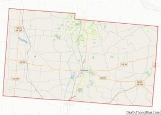
Map of Ohio State and its subdivision:- Adams
- Allen
- Ashland
- Ashtabula
- Athens
- Auglaize
- Belmont
- Brown
- Butler
- Carroll
- Champaign
- Clark
- Clermont
- Clinton
- Columbiana
- Coshocton
- Crawford
- Cuyahoga
- Darke
- Defiance
- Delaware
- Erie
- Fairfield
- Fayette
- Franklin
- Fulton
- Gallia
- Geauga
- Greene
- Guernsey
- Hamilton
- Hancock
- Hardin
- Harrison
- Henry
- Highland
- Hocking
- Holmes
- Huron
- Jackson
- Jefferson
- Knox
- Lake
- Lake Erie
- Lawrence
- Licking
- Logan
- Lorain
- Lucas
- Madison
- Mahoning
- Marion
- Medina
- Meigs
- Mercer
- Miami
- Monroe
- Montgomery
- Morgan
- Morrow
- Muskingum
- Noble
- Ottawa
- Paulding
- Perry
- Pickaway
- Pike
- Portage
- Preble
- Putnam
- Richland
- Ross
- Sandusky
- Scioto
- Seneca
- Shelby
- Stark
- Summit
- Trumbull
- Tuscarawas
- Union
- Van Wert
- Vinton
- Warren
- Washington
- Wayne
- Williams
- Wood
- Wyandot
- Alabama
- Alaska
- Arizona
- Arkansas
- California
- Colorado
- Connecticut
- Delaware
- District of Columbia
- Florida
- Georgia
- Hawaii
- Idaho
- Illinois
- Indiana
- Iowa
- Kansas
- Kentucky
- Louisiana
- Maine
- Maryland
- Massachusetts
- Michigan
- Minnesota
- Mississippi
- Missouri
- Montana
- Nebraska
- Nevada
- New Hampshire
- New Jersey
- New Mexico
- New York
- North Carolina
- North Dakota
- Ohio
- Oklahoma
- Oregon
- Pennsylvania
- Rhode Island
- South Carolina
- South Dakota
- Tennessee
- Texas
- Utah
- Vermont
- Virginia
- Washington
- West Virginia
- Wisconsin
- Wyoming
