Miamitown is a census-designated place (CDP) in western Whitewater Township, Hamilton County, Ohio, United States. The population was 1,256 at the 2020 census. It has a post office with the ZIP code 45041.
| Name: | Miamitown CDP |
|---|---|
| LSAD Code: | 57 |
| LSAD Description: | CDP (suffix) |
| State: | Ohio |
| County: | Hamilton County |
| Elevation: | 525 ft (160 m) |
| Total Area: | 1.37 sq mi (3.54 km²) |
| Land Area: | 1.34 sq mi (3.47 km²) |
| Water Area: | 0.03 sq mi (0.07 km²) |
| Total Population: | 1,256 |
| Population Density: | 938.01/sq mi (362.14/km²) |
| ZIP code: | 45041 |
| FIPS code: | 3949462 |
| GNISfeature ID: | 1056423 |
Online Interactive Map
Click on ![]() to view map in "full screen" mode.
to view map in "full screen" mode.
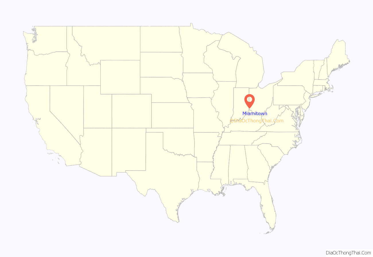
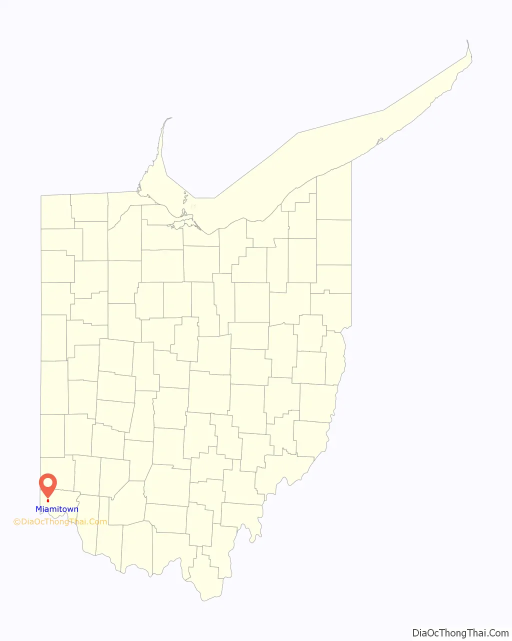
Miamitown location map. Where is Miamitown CDP?
History
Miamitown was founded in 1816 by Arthur Henry, who operated a flour mill and distillery. The community was named after the nearby Great Miami River.
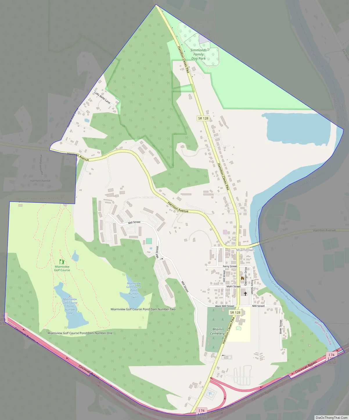
Miamitown Road Map
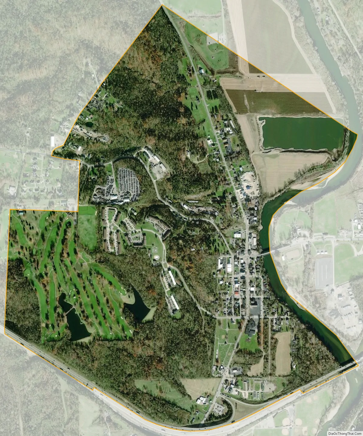
Miamitown city Satellite Map
Geography
Miamitown is located 16 miles (26 km) northwest of downtown Cincinnati. It is situated on the west bank of the Great Miami River at the intersection of Harrison Pike and Ohio State Route 128 (Hamilton Cleves Pike Road). Interstate 74 runs along the southern edge of the village, with access to it via Exit 7.
According to the United States Census Bureau, the CDP has a total area of 1.37 square miles (3.54 km), of which 1.34 square miles (3.48 km) is land and 0.023 square miles (0.06 km), or 1.72%, is water.
See also
Map of Ohio State and its subdivision:- Adams
- Allen
- Ashland
- Ashtabula
- Athens
- Auglaize
- Belmont
- Brown
- Butler
- Carroll
- Champaign
- Clark
- Clermont
- Clinton
- Columbiana
- Coshocton
- Crawford
- Cuyahoga
- Darke
- Defiance
- Delaware
- Erie
- Fairfield
- Fayette
- Franklin
- Fulton
- Gallia
- Geauga
- Greene
- Guernsey
- Hamilton
- Hancock
- Hardin
- Harrison
- Henry
- Highland
- Hocking
- Holmes
- Huron
- Jackson
- Jefferson
- Knox
- Lake
- Lake Erie
- Lawrence
- Licking
- Logan
- Lorain
- Lucas
- Madison
- Mahoning
- Marion
- Medina
- Meigs
- Mercer
- Miami
- Monroe
- Montgomery
- Morgan
- Morrow
- Muskingum
- Noble
- Ottawa
- Paulding
- Perry
- Pickaway
- Pike
- Portage
- Preble
- Putnam
- Richland
- Ross
- Sandusky
- Scioto
- Seneca
- Shelby
- Stark
- Summit
- Trumbull
- Tuscarawas
- Union
- Van Wert
- Vinton
- Warren
- Washington
- Wayne
- Williams
- Wood
- Wyandot
- Alabama
- Alaska
- Arizona
- Arkansas
- California
- Colorado
- Connecticut
- Delaware
- District of Columbia
- Florida
- Georgia
- Hawaii
- Idaho
- Illinois
- Indiana
- Iowa
- Kansas
- Kentucky
- Louisiana
- Maine
- Maryland
- Massachusetts
- Michigan
- Minnesota
- Mississippi
- Missouri
- Montana
- Nebraska
- Nevada
- New Hampshire
- New Jersey
- New Mexico
- New York
- North Carolina
- North Dakota
- Ohio
- Oklahoma
- Oregon
- Pennsylvania
- Rhode Island
- South Carolina
- South Dakota
- Tennessee
- Texas
- Utah
- Vermont
- Virginia
- Washington
- West Virginia
- Wisconsin
- Wyoming


